- Brief description
-
Enchanting summit tour to the border between the Schladminger and Wölzer Tauern, traverse to the Murtal side and down into the Eselsberggraben.
- Difficulty
-
medium
- Rating
-
- Starting point
-
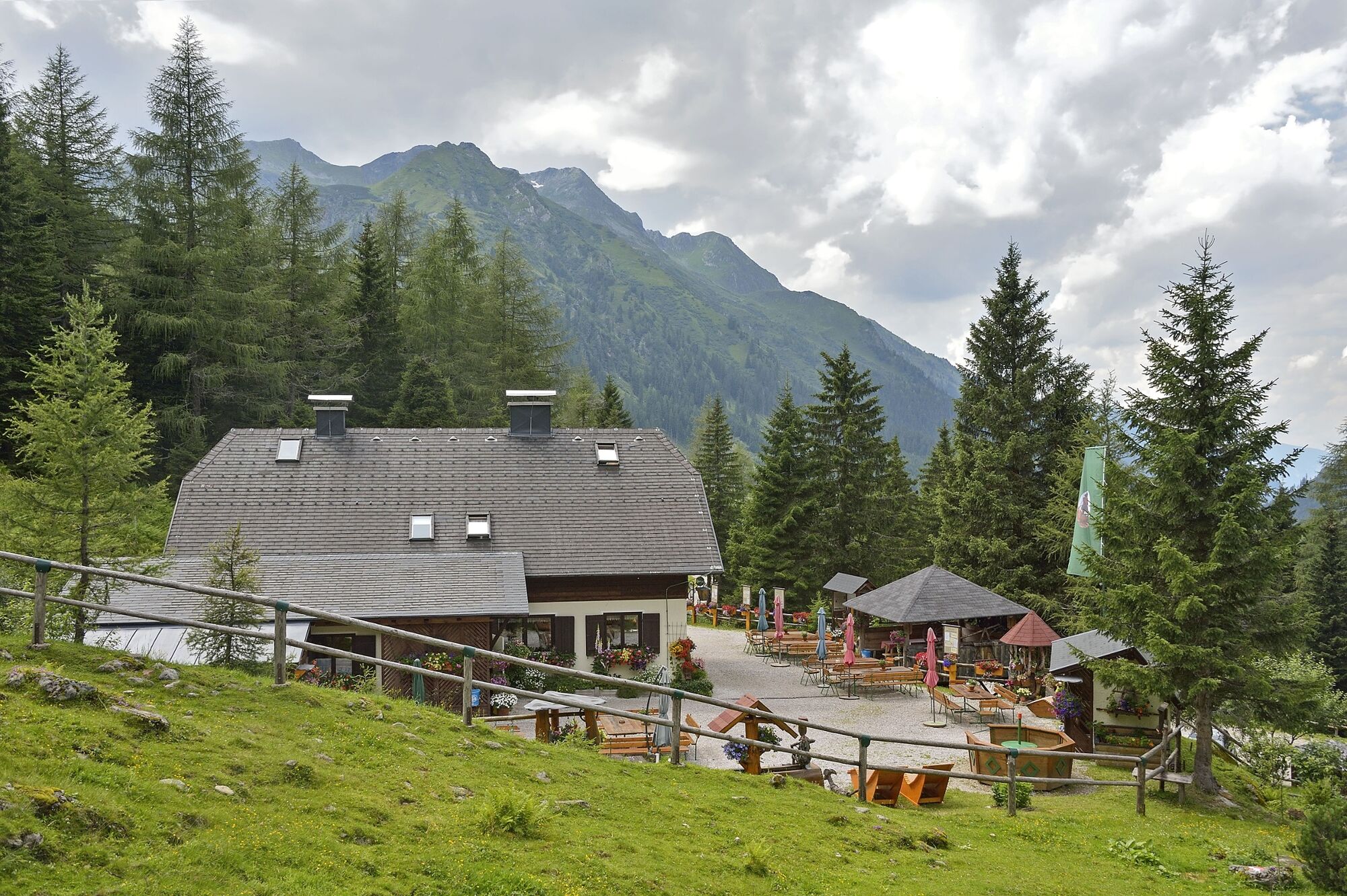
Kaltenbachalm, right on the Sölkpass road
- Route
-
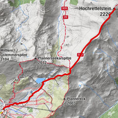
Erzherzog-Johann-Hütte1.2 kmHochstubofen (2,385 m)5.4 kmErzherzog-Johann-Hütte9.5 km
- Best season
-
JanFebMarAprMayJunJulAugSepOctNovDec
- Description
-
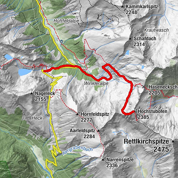
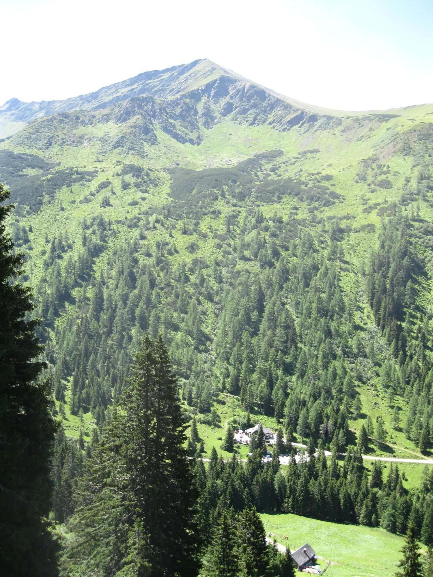
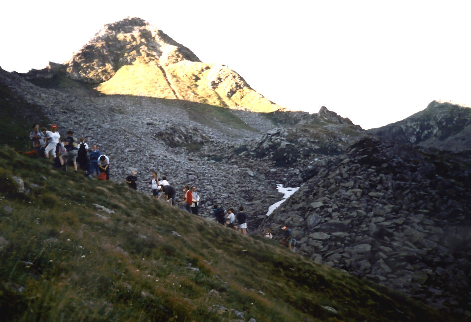
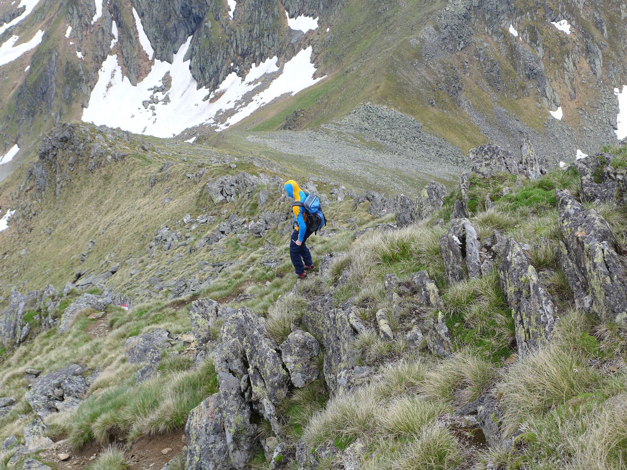
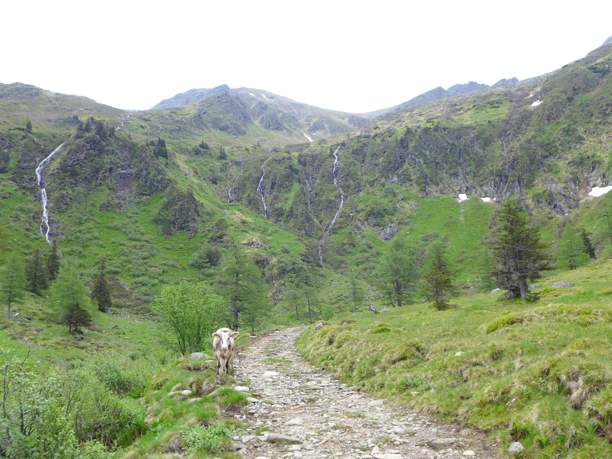
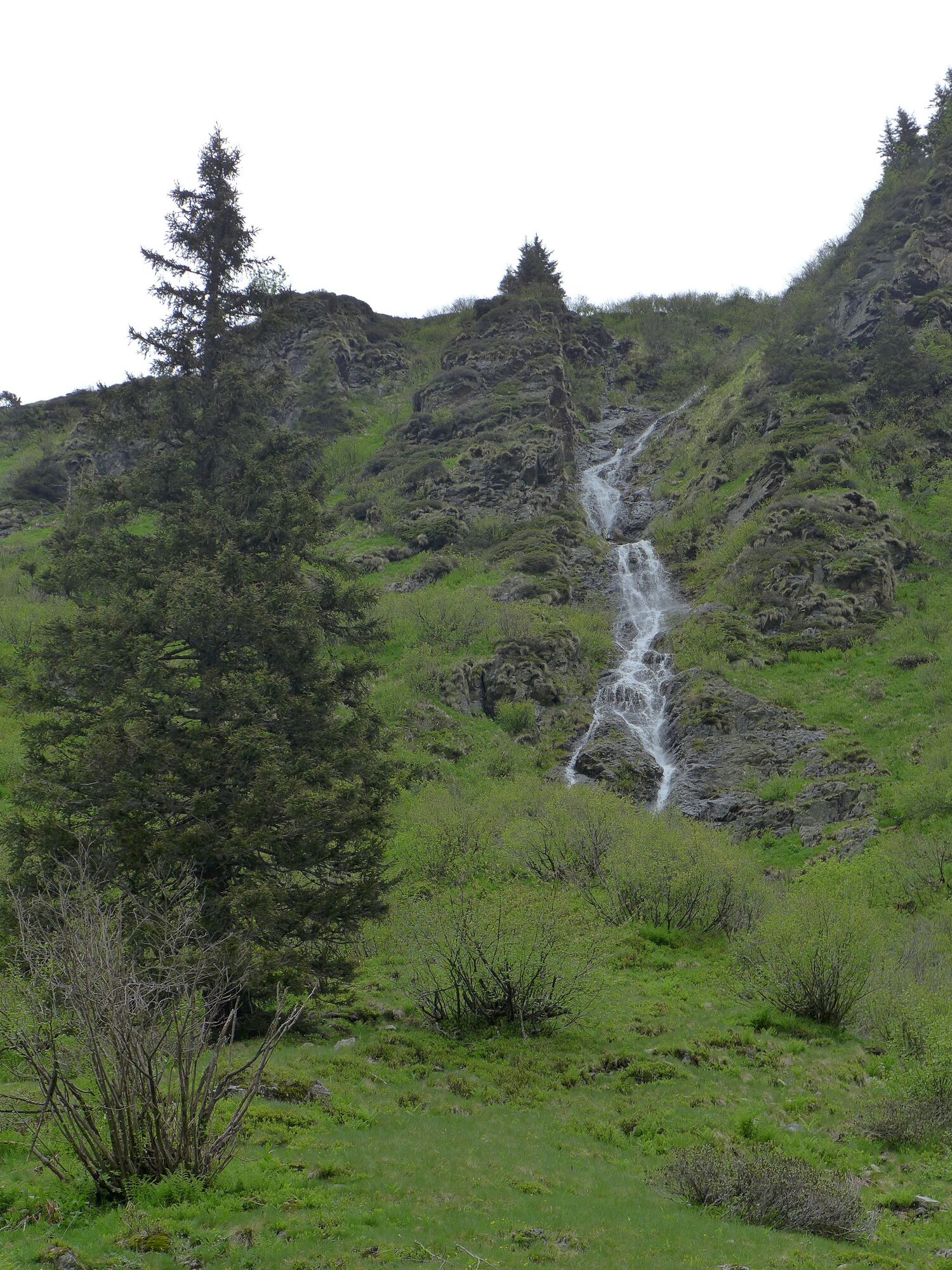
Approach to Stein a.d. Enns and via St. Nikolai to the Kaltenbachkehre parking lot just before the Sölkpass. From the alpine pastures at the Hansenalm on the pass road, you can already see the beautifully shaped summit of the Hochstubofen, which dominates the head of the valley. From the parking lot, first hike down to the Winkleralm bend and from there follow the wide alpine access road to the Mahdfeldalm as far as the crossroads, where trail no. 926 leads from the alpine pastures. Turn right and hike along the slope, cross small streams and climb steeply up into the cirque in many serpentines.
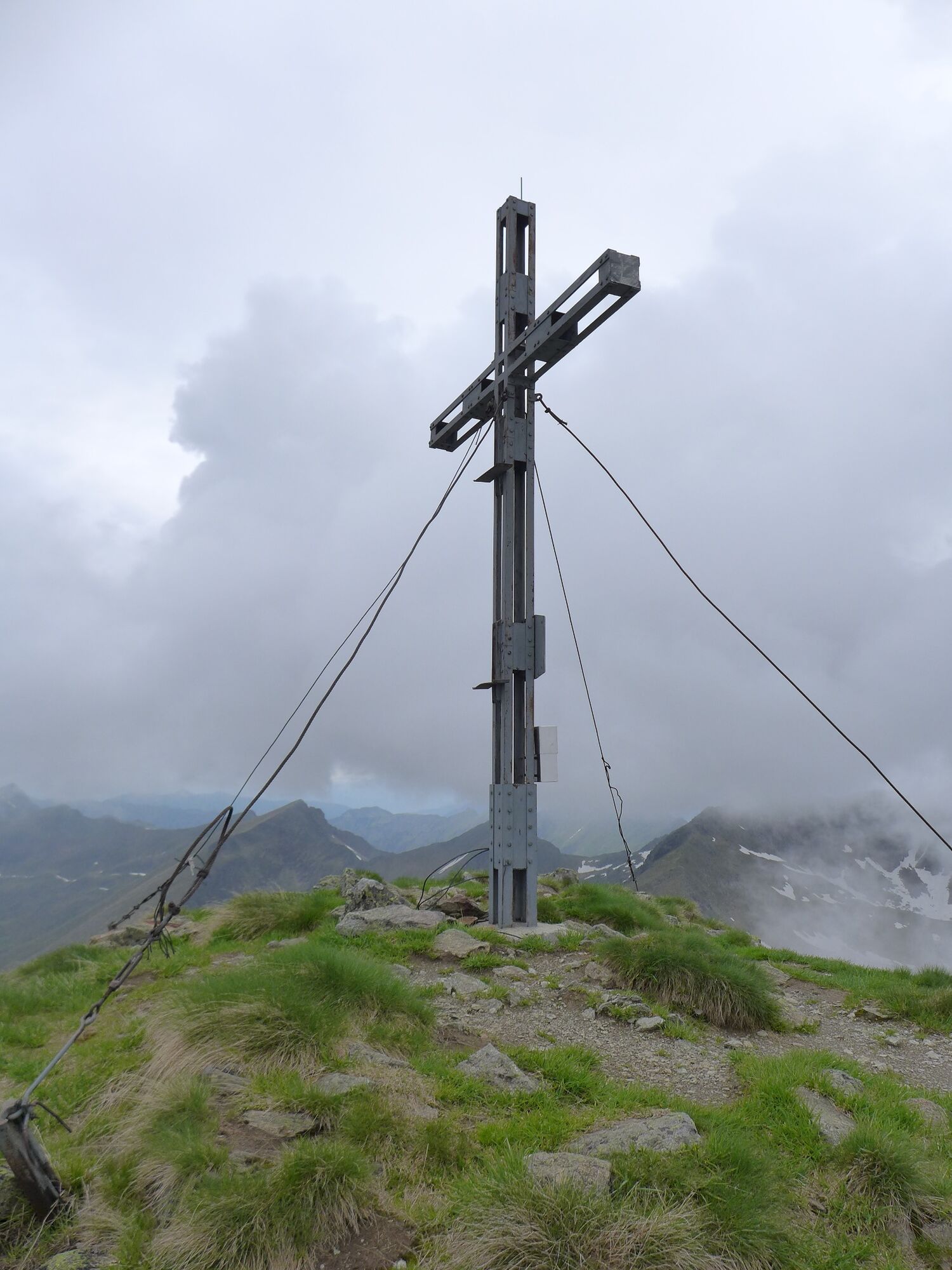
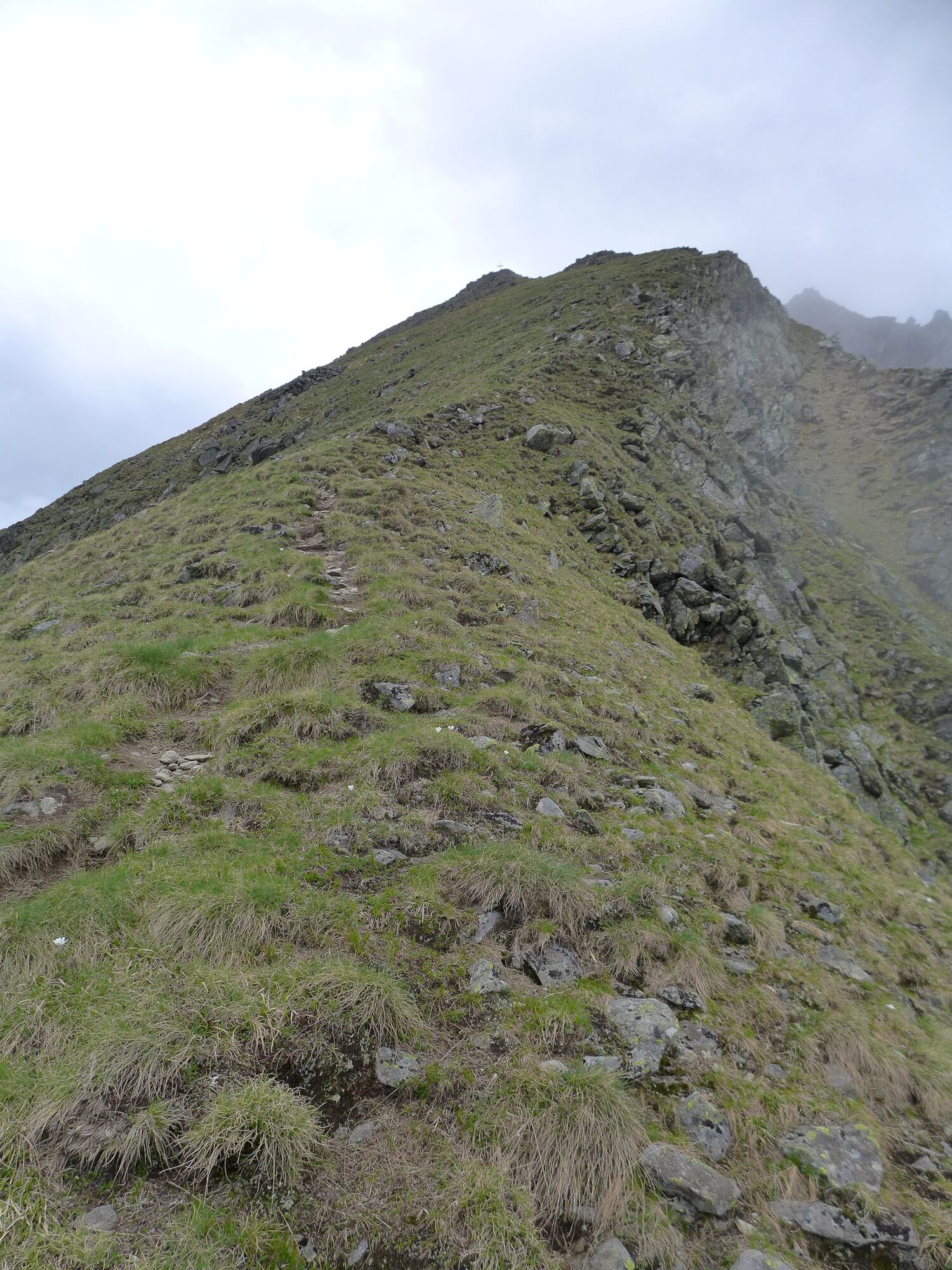
In summer, we will see the purple blossoms of the Pannonian gentian. Below the Haseneckscharte, the trail leading up to the Hochstubofen branches off somewhat abruptly to the right (if we keep straight, path No. 909 leads us through the alpine gap to the Neunkirchnerhütte), crossing the mountainside below the summit to the south-western ridgeline. From this point, we will have no more difficulties as we reach the summit in a very short time. Directly to the W is the Deneck, in the E the gigantic Schoberspitz, while deep below lies the Eselsberggraben with its welcoming alpine huts. To the south-west we are greeted by the Hornfeldspitze and the Aarfeldspitze – isolated mountains that encompass the broad slopes of the Winkleralpe. We hike down along the same route. - Directions
-
From the parking lot, first hike down to the Winkleralm bend and from there follow the wide alpine access path to the Mahdfeldalm as far as the crossroads where trail no. 926 leads from the alpine pastures. Turn right and hike along the slope, cross small streams and climb steeply up into the cirque in many serpentines. From the Mahdfeldalm, follow the alpine path in a south-easterly direction to the junction with the path to the Hochstubofen (left). At an altitude of 2,000m, the path to the Hochstubofen branches off to the right from the path to the Neunkirchnerhütte via the Haseneckscharte. The path crosses the mountain up to a shoulder. From here, the path leads along the ridge to the summit of the Hochstubofen (2,385m). The descent leads straight back to the alpine path. Turn left here and follow the alpine path to the starting point at the Winkleralm bend.
- Highest point
- 2,359 m
- Endpoint
-
Hochstubofen
- Height profile
-

- Equipment
-
Sturdy shoes, rain gear
- Tips
-
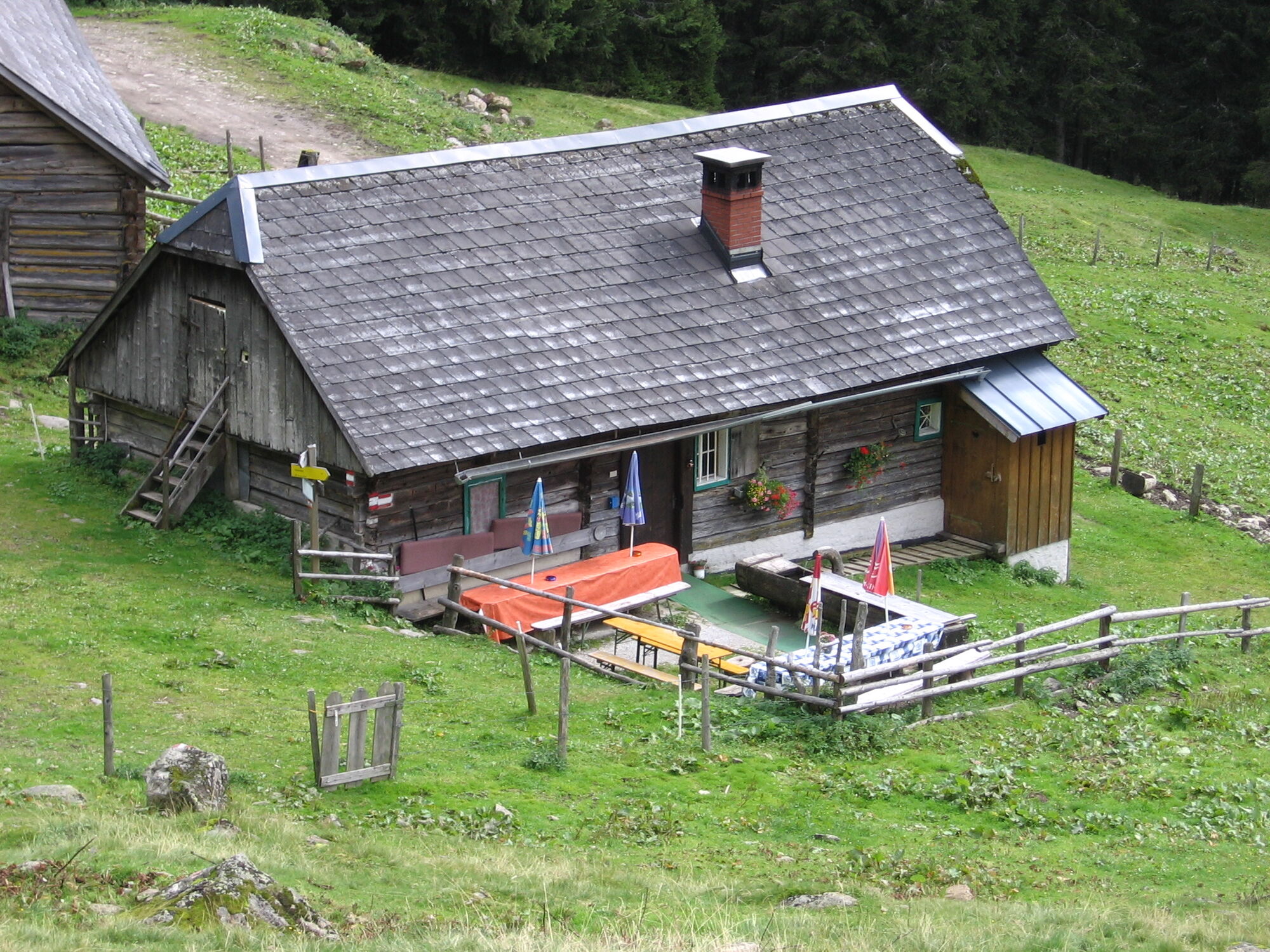
Possibilities for refreshments at the Kaltenbachalm or the Winkleralm
- Additional information
-
Safety information
Safety on the mountainside: changes in the weather, sudden fall in temperature, thunder storms, wind, fog and snow fields are all objective dangers and require the correct behaviour whilst underway. the landlords of the huts are all very knowledgeable about the mountains and can give you good tips about the weather and the routes. Insufficient equipment, exaggerated opinion of ones capabilities, frivolousness, poor health condition and a false evaluation of the situation can lead to a critical situation. In thunder storms: summits, crest-sites and safety rope aids are to be avoided.
If something should happen call following emergency numbers:
No. 140 - the number for all Alpine Emergencies in all of Austria
No. 112 - European emergency call GSM emergency-call-service - Directions
-
Sölkpass
- Parking
-
Erzerherzog Johann Hütte


- Author
-
The tour From the Erzherzog Johann Hütte to the Hochstubofen is used by outdooractive.com provided.