


- Brief description
- Difficulty
-
medium
- Rating
-
- Starting point
-
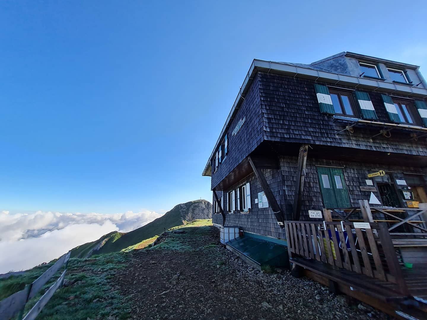
Gasthof "Präbichler Hof"
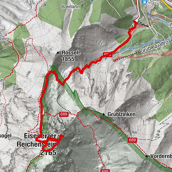
- Route
-
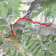
Präbichlerhof0.0 kmEisenerzer Reichenstein (2,165 m)4.1 kmReichensteinhütte4.4 kmPräbichlerhof8.4 km
- Best season
-
JanFebMarAprMayJunJulAugSepOctNovDec
- Description
-
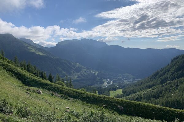
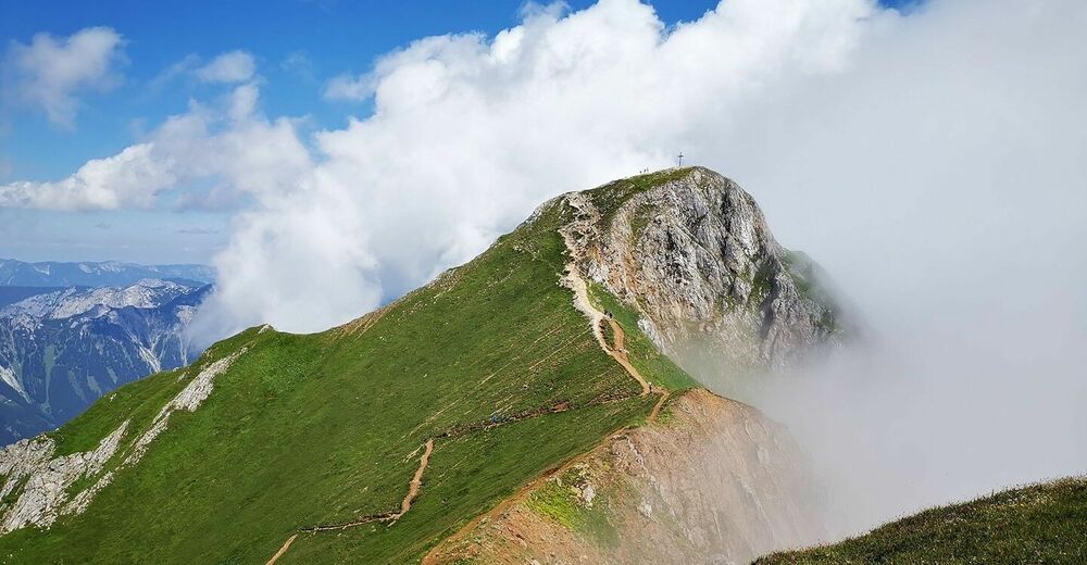
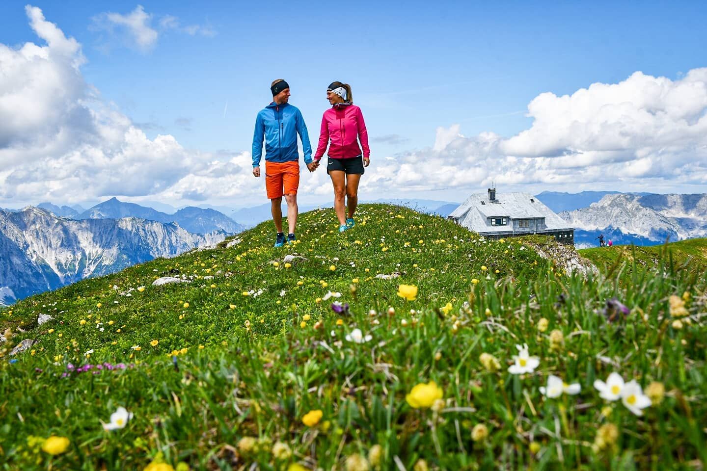
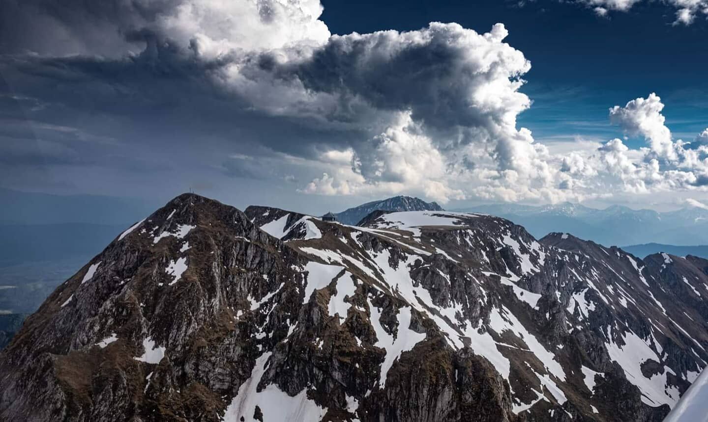
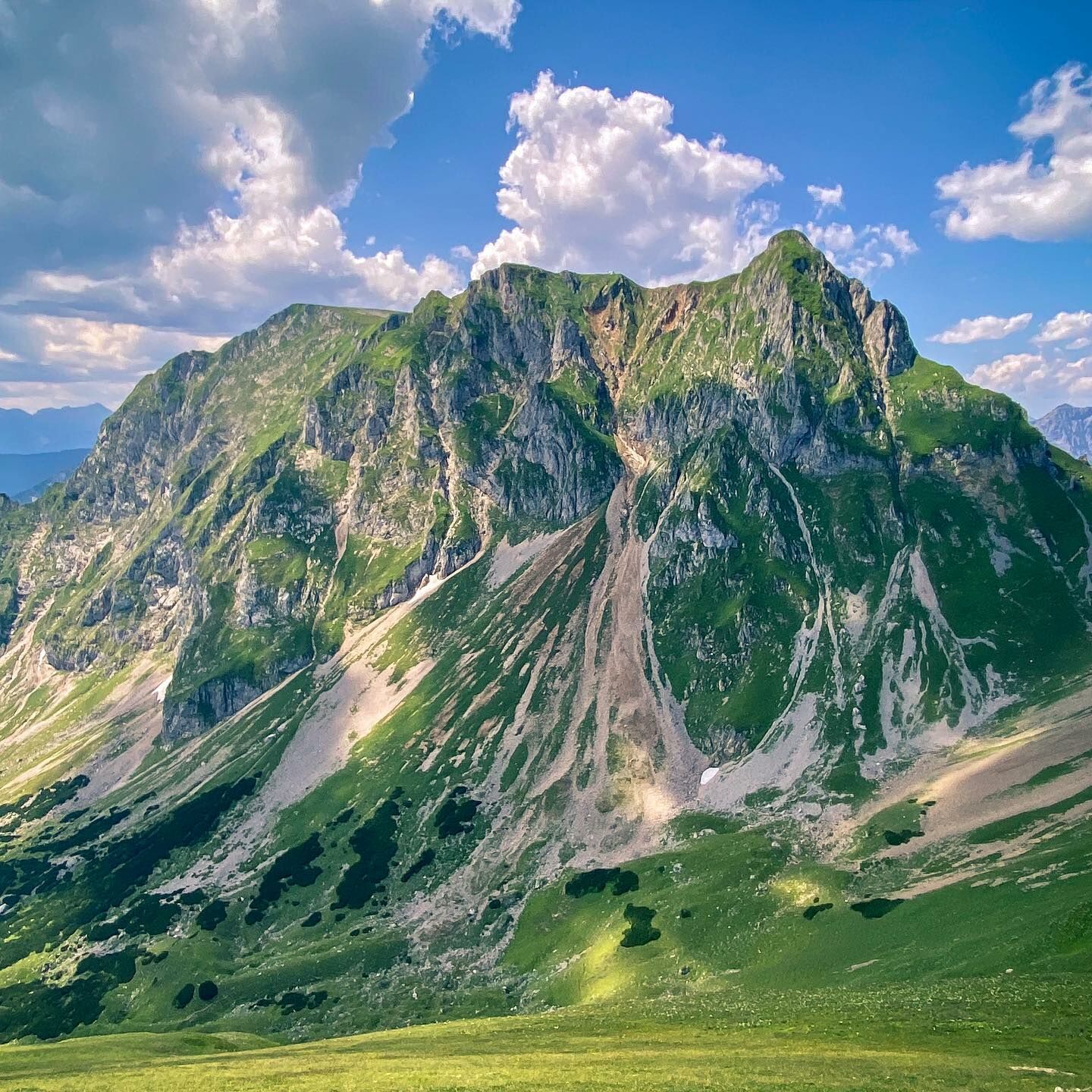
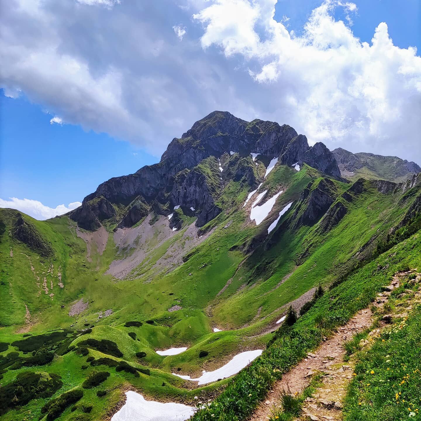
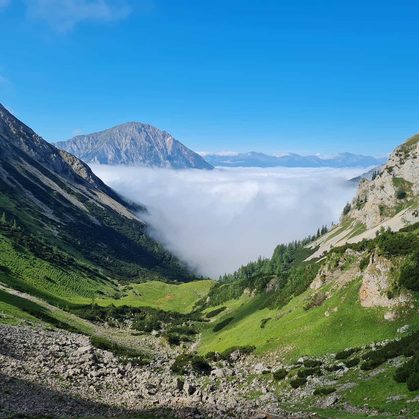
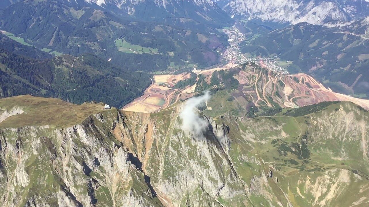
A very scenic climb along the well-known north-south long-distance hiking trail, with magnificent views of the Erzberg and Eisenerz mountains and the Vordernberger Valley.
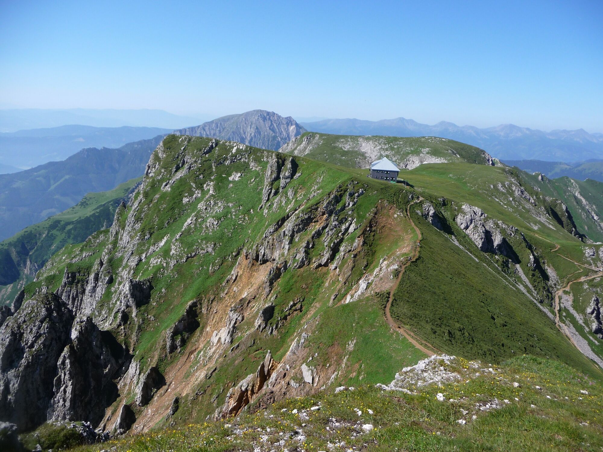
High above the pass of the Präbichl, the Hochschwab, the Eisenerz Alps, the Gesäuseberge and large parts of the Niedere Tauern lie at the feet of the mountain hiker.
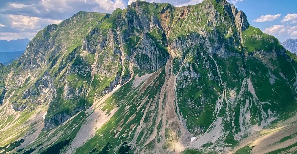
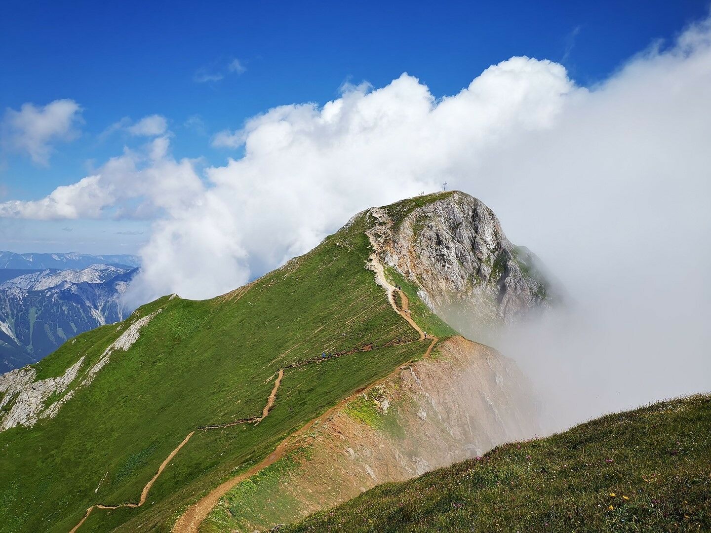
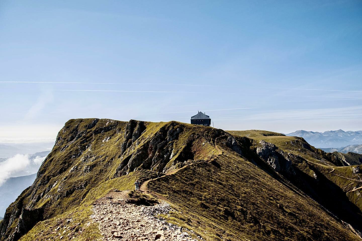
From the inn "Präbichlerhof" through the Grübl (3 steep steps) to the Rösselhals. There you change to the Eisenerz side and cross a steep grassy slope. Soon you reach a fork in the road. Follow the path until you reach the rocks, from here the path leads up a few meters on a rocky head, secured by ladders. Over several hairpin bends you reach the summit (only for sure-footed mountain hikers).
ALTERNATIVE ROUTE
From the junction, take the right path and thus bypass the rocky upswing. Over several hairpin bends you reach the summit. The tour to the Eisenerzer Reichenstein from the Präbichl, offers wonderful views and a challenging mountain pleasure.
- Directions
-
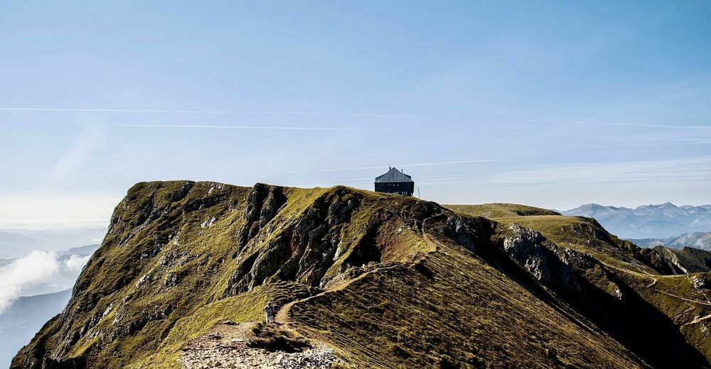
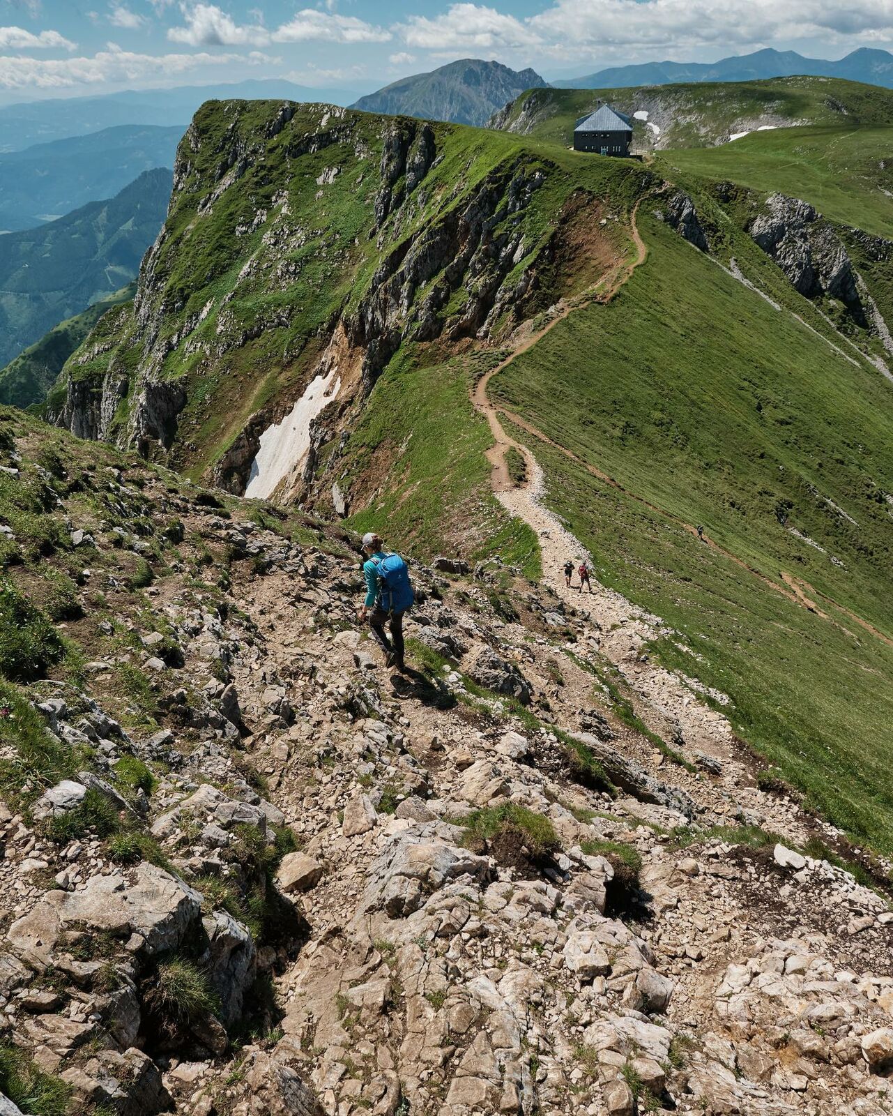
From the bus stop "Präbichl Passhöhe"(if arriving by bus) or from the "Präbichler Hof" (if arriving by car) along the marked trail through the Grübl up and over several steep steps to the Rösselhals (1770m), here in a southerly direction over the upward leading Schrofenrücken to the so-called "Stiege" (iron staircase, which leads over a rocky steep step). The "Stiege" can also be bypassed via the path branching off below the rock faces. After joining the two trails, the path leads upwards over the rugged northern slope, finally keeping left to the summit of the Reichenstein.Descent: From the summit down to the nearby Reichensteinhütte and continue as ascent.
- Highest point
- 2,144 m
- Endpoint
-
Gasthof "Präbichler Hof"
- Height profile
-

- Equipment
-
Proper backpacking makes many things easier: pack heavy things first. The water bottle should always be within easy reach in a side pocket. All things that are often needed, such as sunglasses, camera or hiking map, belong on top. An emergency kit including blister plaster belongs in every backpack and a clothing according to the "onion system" is always recommended!
- Safety instructions
-
Emergency call mountain rescue: 140
Emergency reporting tip - provide answers to the six W questions: What happened? How many injured? Where did the accident happen (possibly GPS coordinates)? Who is reporting (callback number)? When did the accident happen? Weather at the accident site?
- Tips
-
The Alpfox Adventure Park on the Präbichl is not to be missed!
Opening hours Reichensteinhütte: May to October
- Additional information
- Directions
- Public transportation
-
Timetables and travel information can be found directly at: Österreichische Bundesbahnen (ÖBB), Steiermärkische Landesbahnen (STLB), www.busbahnbim.at
With the BusBahnBim app of the Verbundlinie, timetable information has never been easier: all bus, train and tram connections in Austria can be queried by entering locations and/or addresses, stops or important points. The app is available as a free app for smartphones (Android, iOS) - on Google Play and in the
- Parking
- Author
-
The tour Eisenerzer Reichenstein from the Präbichl is used by outdooractive.com provided.


General info
-
Erzberg Leoben
2528
-
Hochschwab
1272
-
Präbichl
386