© Georg Fokter

© Georg Fokter

© Georg Fokter

© Georg Fokter

© Georg Fokter

© Georg Fokter

© Georg Fokter

© Georg Fokter

© Georg Fokter

© Georg Fokter
Tour data
9.73km
966
- 2,091m
1,059hm
1,059hm
08:50h
- Brief description
-
Technisch einfache Tour, die gute Kondition fordert (da lang).
- Difficulty
-
medium
- Rating
-
- Starting point
-
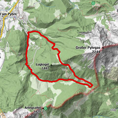
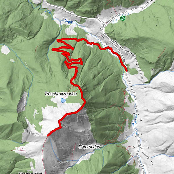
SV-Platz Oppenberg
- Route
-
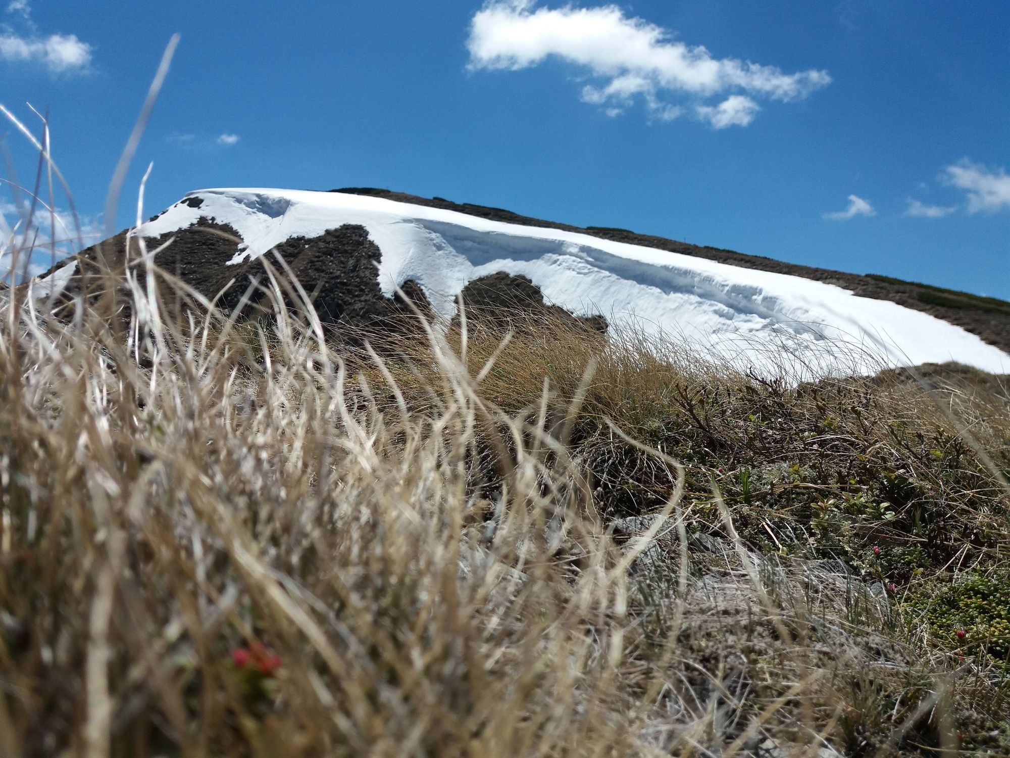
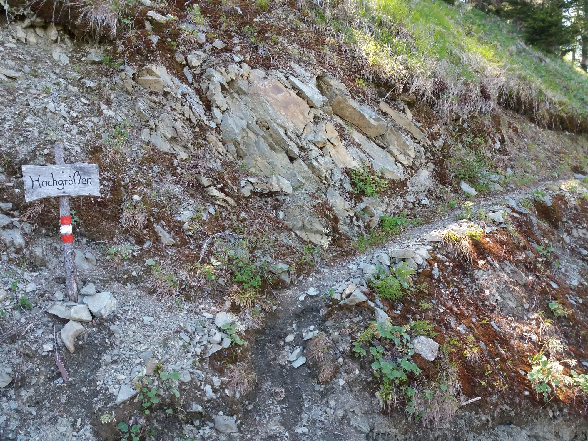
Hochgrößen (2,115 m)9.7 km
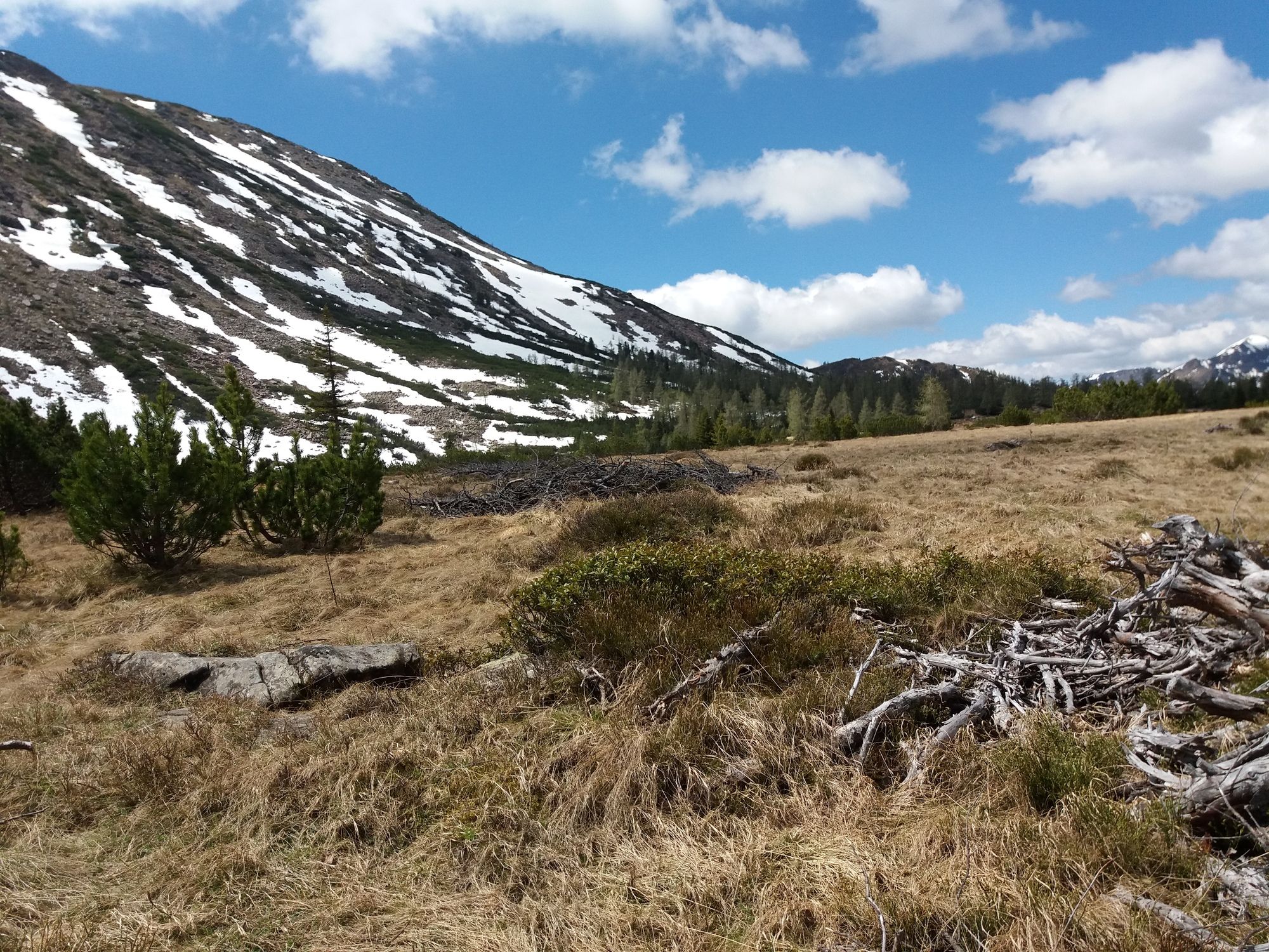
- Best season
-
JanFebMarAprMayJunJulAugSepOctNovDec
- Highest point
- Hochgrößen (2,091 m)
- Endpoint
-
Hochgrößen (2115m)
- Ticket material
-
Sehr Wichtig!
- Source
- Georg Fokter
GPS Downloads


Trail conditions
Asphalt
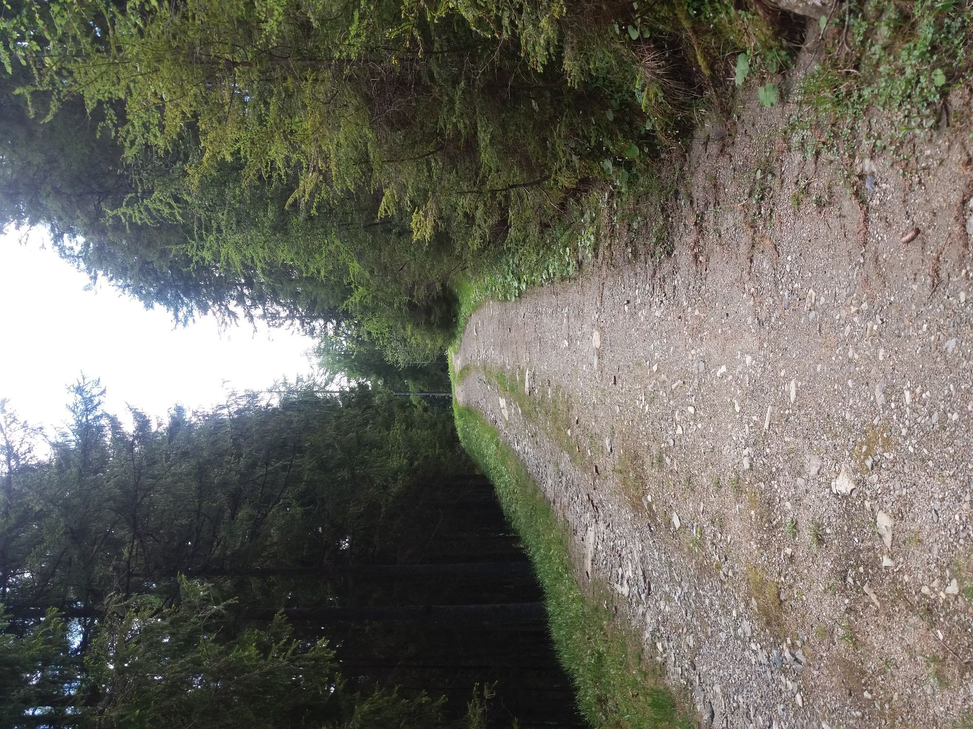
Gravel
Meadow
Forest
Rock
Exposed
Other tours in the regions
-
Gesäuse
2224
-
Grimming - Donnersbachtal
976
-
Lassing
220


")