- Brief description
-
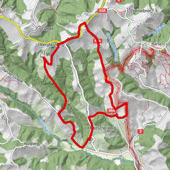
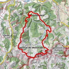
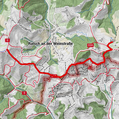
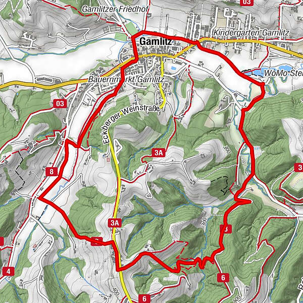
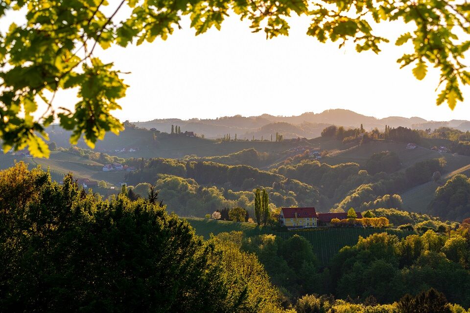
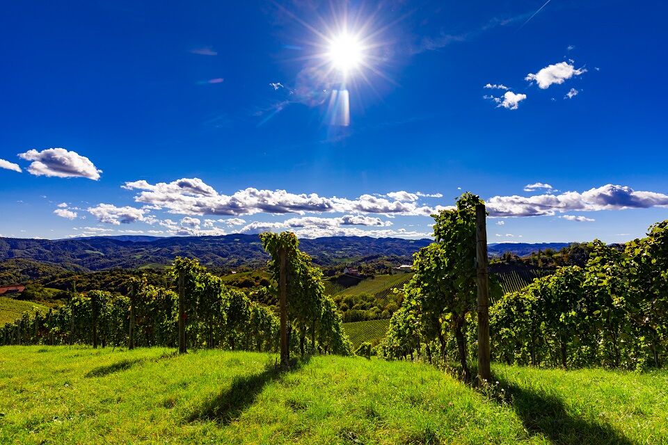
Panoramic circular hike through Gamlitz and the South Styrian Wine Route. Enjoy the view and stop for refreshments!
- Difficulty
-
easy
- Rating
-
- Route
-
Gamlitz0.2 kmWeinhof Nekrep4.5 kmGamlitz7.2 km
- Best season
-
JanFebMarAprMayJunJulAugSepOctNovDec
- Description
-
Panoramic circular hike through Gamlitz and the South Styrian Wine Route. Enjoy the view and stop for refreshments!
- Directions
-
From the sports field Gamlitz the Gamlitzbach to the landscape ponds / motor park - over the Gamlitzbach direction Ratsch / Weinstraße to the Buschenschank and winery Skoff Original - at the Buschenschank Nekrep down to Steinbach and along the Steinbach back to the starting point.
- Highest point
- 416 m
- Endpoint
-
Sportplatz Gamlitz
- Height profile
-

- Equipment
-
Sturdy shoes!
- Safety instructions
-
The trail is accessible all year round. Sturdy shoes are recommended. Please keep to the marked paths and keep them clean. Out of consideration for the forest animals, we ask you not to make noise and to keep dogs on a leash. Cycling on our trails is prohibited!
- Tips
-
Tip for on the road: 18 holes in the mini golf course Gamlitz! Open daily from 10:00-18:00!
Motor park Gamlitz
Look forward to a unique movement experience for YOUNG & OLD.
41 stations and almost 150 training variations are waiting for you.
Accessible free of charge all year round
- Directions
-
Coming from the south, north, east and west on the A9 Phyrnautobahn - exit Vogau - continue in the direction of Ehrenhausen - Gamlitz.
- Public transportation
-
By train to Ehrenhausen, you can find the current schedules at www.oebb.at.
Cab company:
Cab Petra 0664 20 7 02 07
Cab Schimautz 0664 43 52 736
- Parking
-
Parking at the sports field Gamlitz, Motorikpark Gamlitz (chargeable!) possible.


-

-
AuthorThe tour Gamlitz - Gaberhöhe - Steinbach, trail no. 3 is used by outdooractive.com provided.


General info
-
Südsteiermark
1135
-
Maribor-Pohorje
263
-
Gamlitz
290