
- Brief description
-
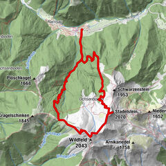
From Bodenbauer through mixed forest and alpine trail to Häuslalm. Follow the long-distance trail to the nearby Sackwiesenalm and Sackwiesensee.
- Difficulty
-
medium
- Rating
-
- Route
-
Gasthaus Bodenbauer0.0 kmHäuslalm Hütte3.7 kmSackwiesenalm (1,450 m)4.3 km
- Best season
-
JanFebMarAprMayJunJulAugSepOctNovDec
- Description
-
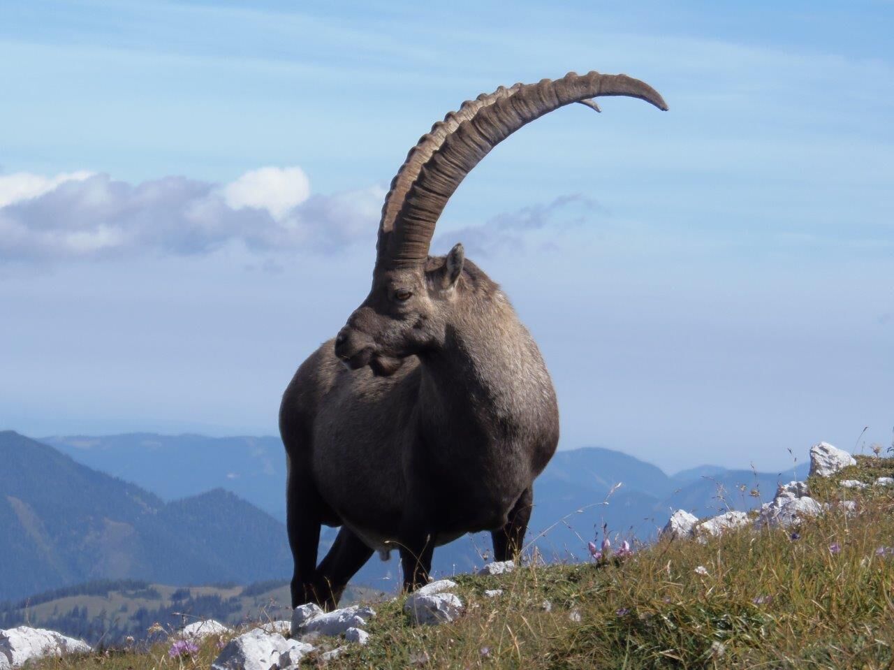
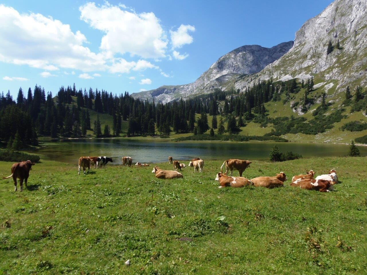
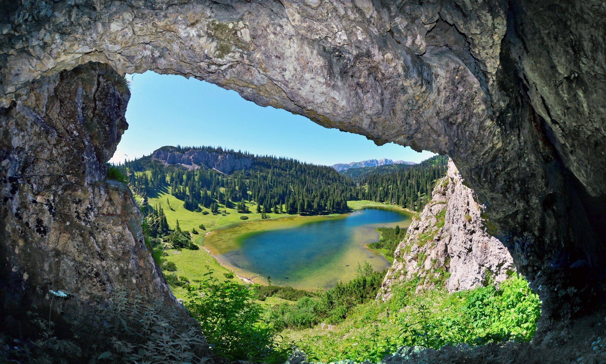
From Bodenbauer (www.der-bodenbauer.at) take the forest road into the valley to the first fork. Take trail no. 840 into the Sackwald forest; continue steadily uphill. On the northeast side, debris-free foot of the Buchbergkogel to the Häuslalmhütte (www.haeuslalm.at). Its location is ideal as a resting place, base (14 sleeping places) and lookout point. The long-distance trails no. 01/05 connect to the nearby Sackwiesenalm,1458 m, a relaxing place. After a trail crest you reach the hollow with the Sackwiesen lake (the highest but warmest lake in the Hochschwab area). It is romantically situated, surrounded by rustic mountain forest.
Walking time: 2 1/4 hours, Assessment: moderately difficult day hike
- Directions
-
Trail conditions: Forest road and marked trails - this tour is basically also suitable for winter!
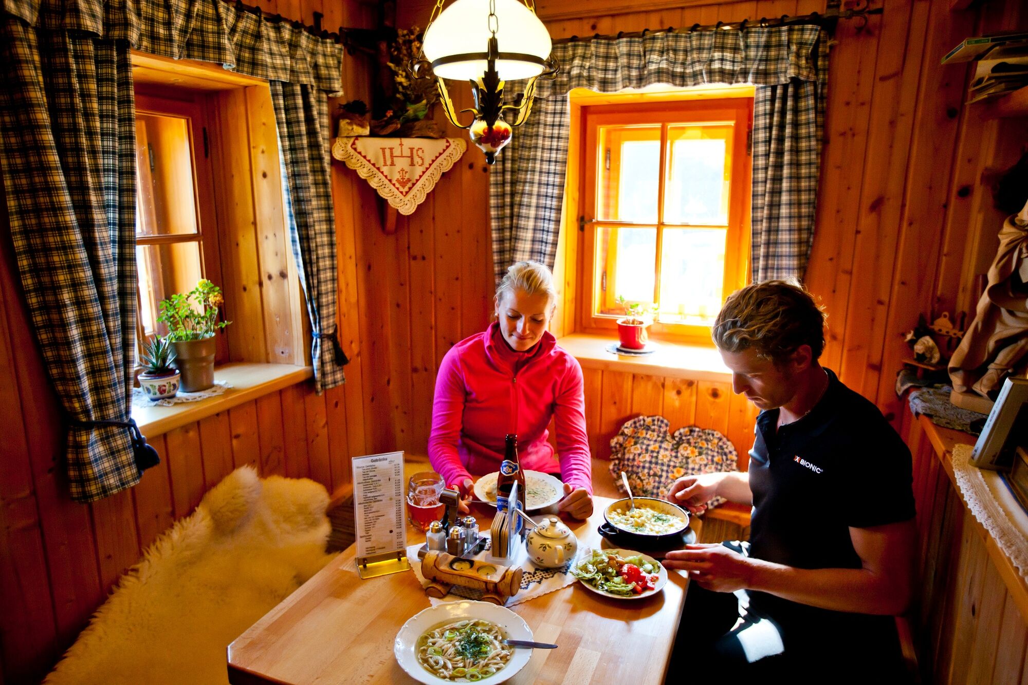
Refreshment stops: Häuslalmhütte (Tel. 0664/9503352, www.haeuslalm.at - open daily from June 1 to September 15 ( Tuesday day off), from October 15 to May 31 open Thursday to Sunday. Sackwiesenalmhütte (0664/2530369) - open from the beginning of June to September 8.
Difficulty: medium
Special features: This hiking trail combines contrasts - impressive mountain scenery at Bodenbauer and lovely alpine landscapes above.
- Highest point
- 1,510 m
- Endpoint
-
Sackwiesensee
- Height profile
-

- Equipment
-
Good ankle-high shoes or mountain boots.In any case, precautionary in the backpack: rain, wind and cold protection, tour pharmacy, sunscreen, tour provisions and a water bottle (instead of cans!).
- Tips
-
After the tour, it is worth visiting the Hochschwab Museum at the Bodenbauer (www.hochschwabmuseum.at).
- Directions
-
From the south: Take the S35 to Bruck, from there take the S6 to Kapfenberg and continue on the B20 to Thörl, before the Schachenstein castle ruins turn left onto the municipal road to St. Ilgen and continue to Bodenbauer (end of the valley).From the north: Via Mariazell and the Seeberg on the B20 to Thörl, after the Schachenstein castle ruins turn right onto the municipal road to St. Ilgen and continue to Bodenbauer (end of the valley).From the east: Via Semmering on the S6 to Kapfenberg and continue on the B20 to Thörl, before the Schachenstein castle ruins turn left onto the municipal road to St. Ilgen and continue to Bodenbauer (end of the valley).
- Public transportation
-
By train to Bruck/Mur or Kapfenberg station and from there by bus to Thörl.Line 171 (Bruck/Mur - Aflenz - Turnau) orLine 172 (Bruck/Mur - Aflenz - Mariazell)Information about train and bus at www.oebb.at and www.verbundlinie.at.
From Thörl to St. Ilgen (there is no public transport here) or to the Bodenbauer with private cab companies.
Regional cab companies:Cab Hochschwabreisen (Tel. 03861/2400), Taxi Gombotz (Tel. 03862/24990) and Taxi Steiner (Tel. 03862/51333 18)
- Parking
-
There are marked parking spaces at the Bodenbauer.


- Author
-
The tour Vom Bodenbauer zum Sackwiesensee is used by outdooractive.com provided.


General info
-
Erzberg Leoben
2522
-
Hochschwab
1270
-
Tragöß - Grüner See
470