- Brief description
-
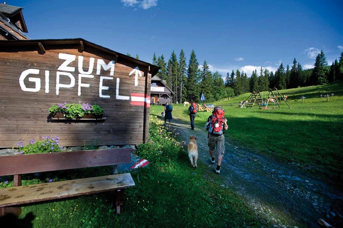
A hike with 8 consecutive peaks. During the march from Kreischberg to Frauenalpe you can enjoy the wonderful panorama. This hike is recommended only for experienced hikers.
- Difficulty
-
difficult
- Rating
-
- Route
-
Rosenkranzhöhe (2,118 m)3.0 kmKirbisch (2,140 m)3.7 kmKirbischhals (2,060 m)3.9 kmGoldachnock (2,171 m)5.6 kmSchattloch (2,033 m)6.3 kmPrankerhöhe (2,166 m)7.0 kmTeringerloch (2,047 m)7.6 kmSchwarmbrunnhöhe (2,120 m)8.0 kmUrsch (1,848 m)10.8 kmAckerlhöhe (2,040 m)12.9 kmBernhard-Fest-Hütte (1,980 m)20.1 kmFrauenalpe (1,997 m)20.3 kmMurauer Hütte23.4 km
- Best season
-
JanFebMarAprMayJunJulAugSepOctNovDec
- Description
-
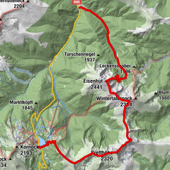
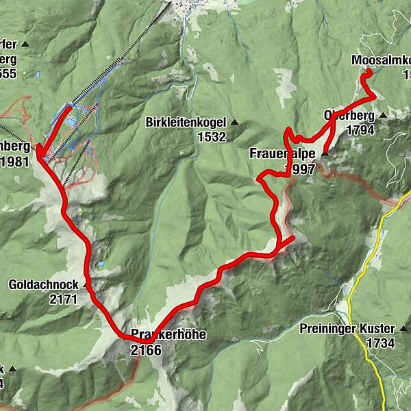
From the starting point of the Kreischberg cable car mountain station (1,760m) the hiking trail leads along the ski slope to the Kreischberg pavilion (1,981m) further to the Rosenkranzhöhe (2,118m). From there, continue into a small depression. From here the ascent to the Kirbisch (2.140m) takes place. Continue over the Kirbischhals to the Seeriegel (2,120m). This is the only point with a view to the Hauserersee.
Over the Seeriegel to the Goldachnock (with 2.171m). The Goldachnock is the highest peak of the hike. From here we march on to the Schattloch further to the Prankerhöhe (2.166); the most prominent peak of the round. The tour continues to Teringerloch via Schwarmbrunnhöhe (2,120m) to Seebodenhöhe and Ursch. From here the ascent to the Ackerlhöhe (2,040m) takes place.
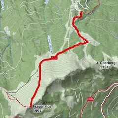
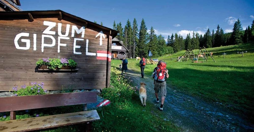
From the Ackerlhöhe the trail continues to the Turnhoferhütte, via this further to the Troghütte (1,816m). From the Troghütte the trail continues to the Murmelfelsen with cross (1,880m). Here you have to follow the signpost "Frauenalpe Nr.2". A pole marking shows the way to the Frauenalpe. The summit book is located in the Apollonia Chapel, a few meters below the summit. From the summit, the descent continues via the Bernhard-Fest-Hütte to the Käsereihütte and the Murauerhütte. To get back to the valley, we follow the path 132/109 to Murau (duration: about 1 3/4 hours.). A descent from the Frauenalpe to Murau by cab is also possible.
- Highest point
- 2,150 m
- Endpoint
-
Peak of the Frauenalpe
- Equipment
-
Sturdy high shoes with a grippy sole and protection against rain and cold are very important.
- Ticket material
- Directions
-
This tour is well accessible by train and bus
- Parking
-
Information office/railway station St. Lorenzen am Kreischberg


Trail conditions
-
TourismusRegion Murau
1747
-
Nockberge
881
-
Murau - Kreischberg
118