
- Brief description
- Difficulty
-
medium
- Rating
-
- Starting point
-
Fohnsdorf, main square
- Route
-
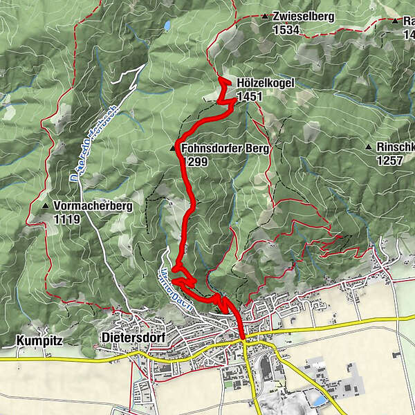
FohnsdorfPfarrkirche Fohnsdorf0.0 kmFohnsdorfer Berg (1,299 m)4.3 kmHölzelkogel (1,451 m)6.0 kmPfarrkirche Fohnsdorf11.9 kmFohnsdorf12.0 km
- Best season
-
JanFebMarAprMayJunJulAugSepOctNovDec
- Description
-
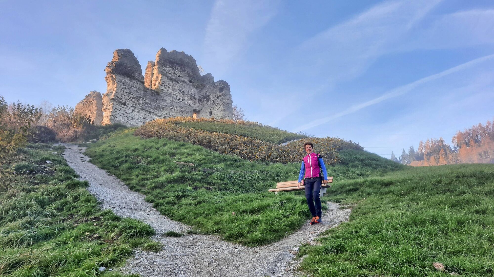
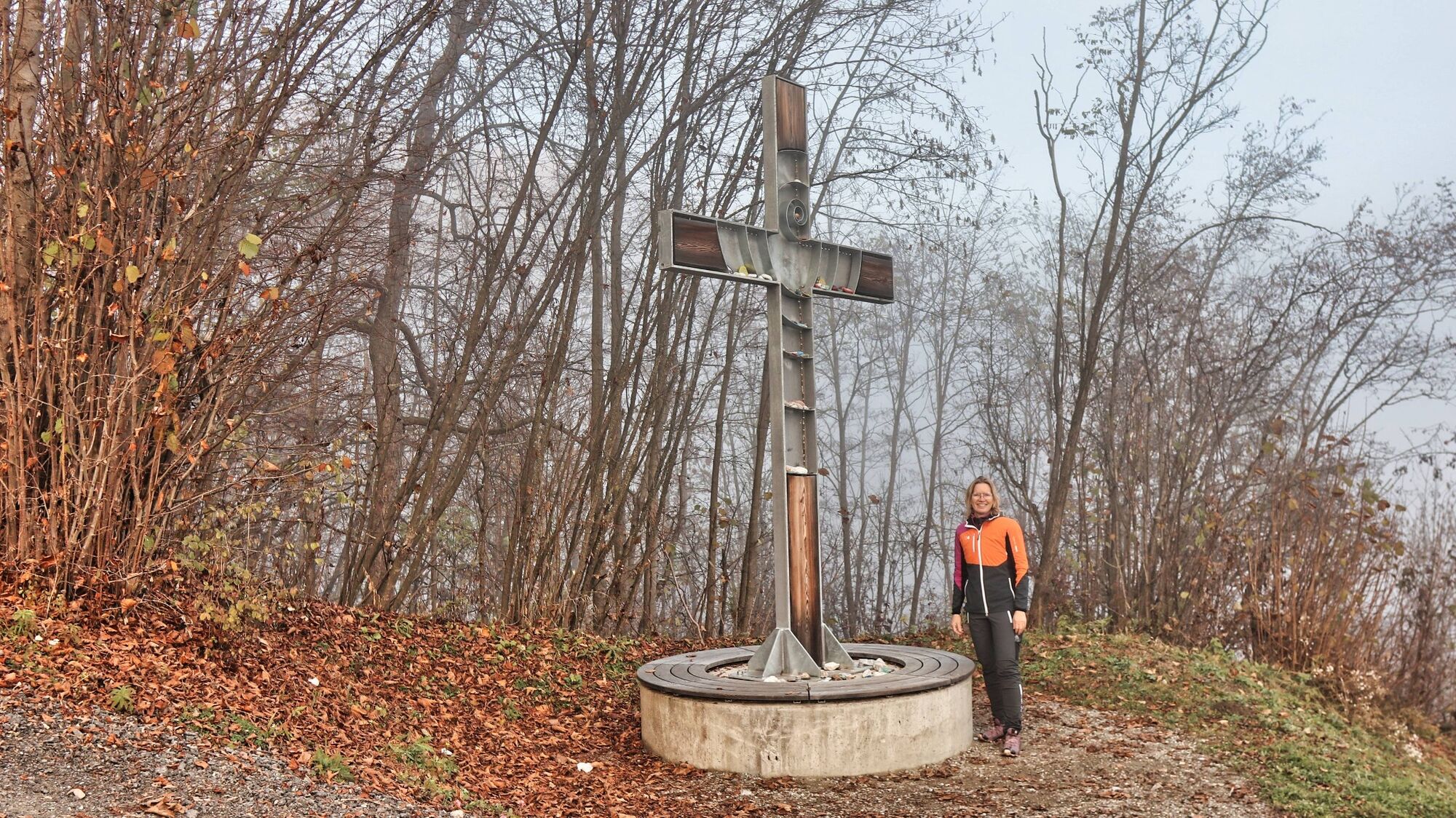
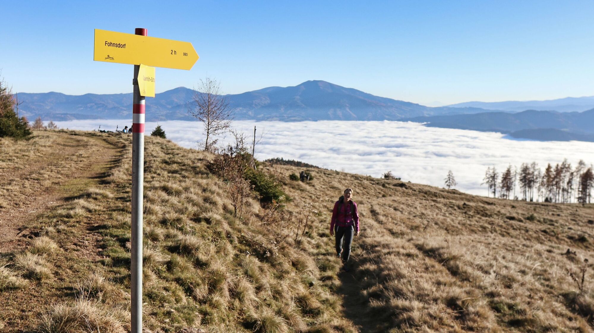
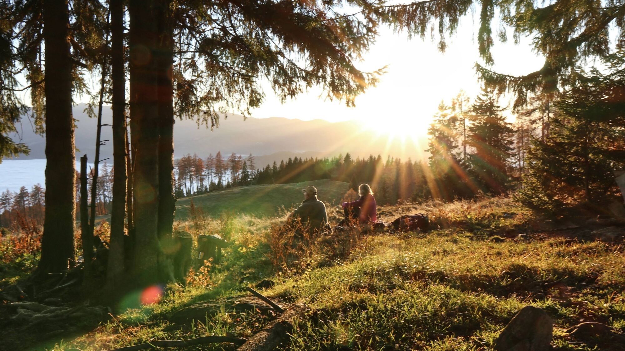
On this tour, we get to know the hiking side of Fohnsdorf. Numerous hiking trails can be found on the Gaaler Höhenzug, the local recreation area north of Fohnsdorf. Starting from Fohnsdorf, this tour via the farmstead vlg. Gstättner farm to the Hammerleck. Here we are literally travelling on the sunny side, as both a large part of the ascent and the destination, the Hammerleck, are exposed to the south. On the descent, you should definitely take a look at the Fohnsdorf ruins - with the new "Styrian Heart" built in 2020. Nearby is also the Fohnsdorf Reconciliation Cross, which symbolises common ground, openness and respect for all people. Conclusion: All in all, a beautiful hike starting from the centre of Fohnsdorf.
- Directions
-
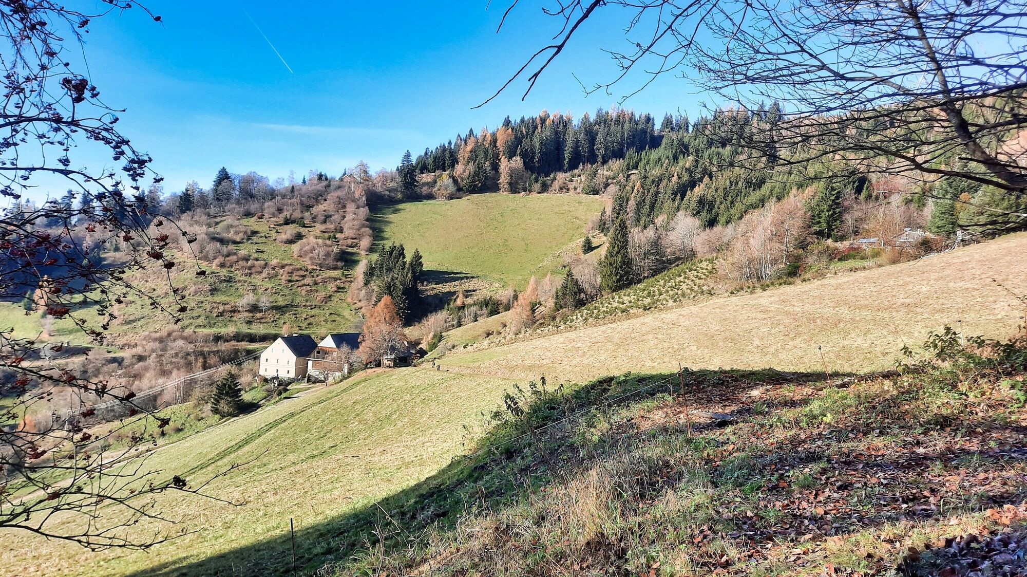
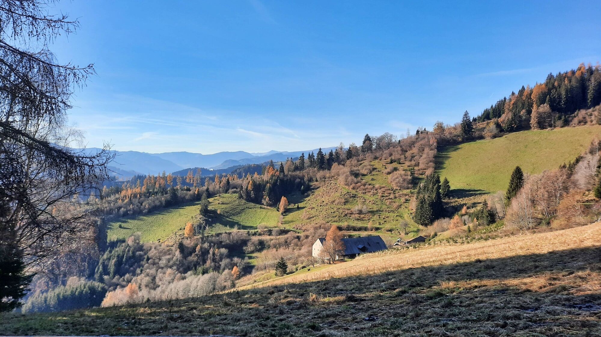
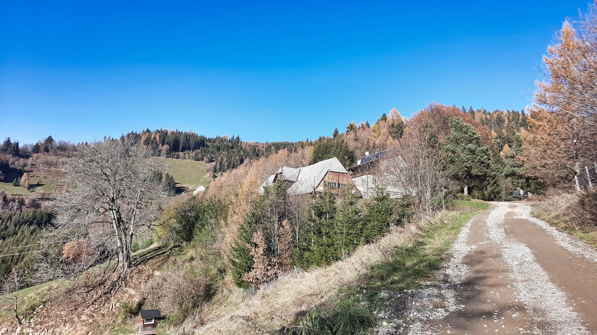
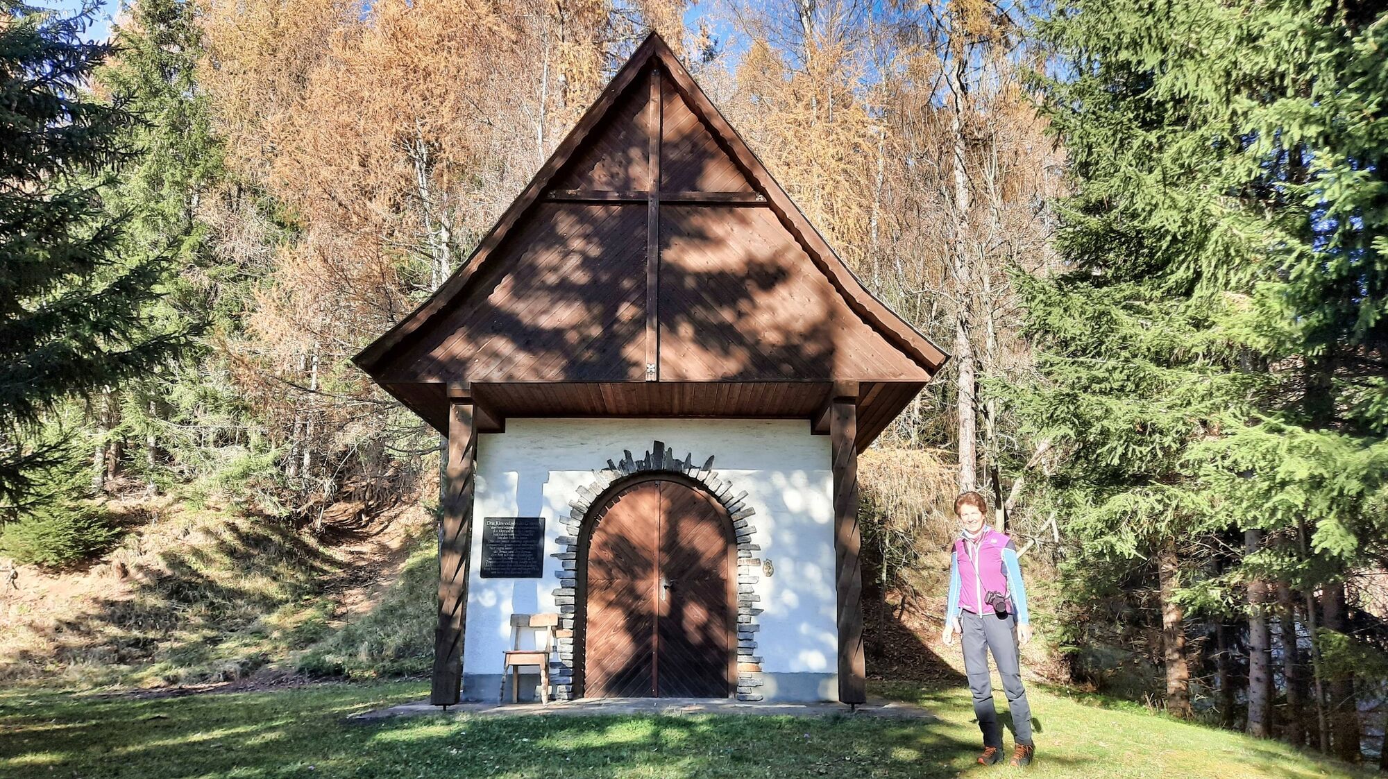
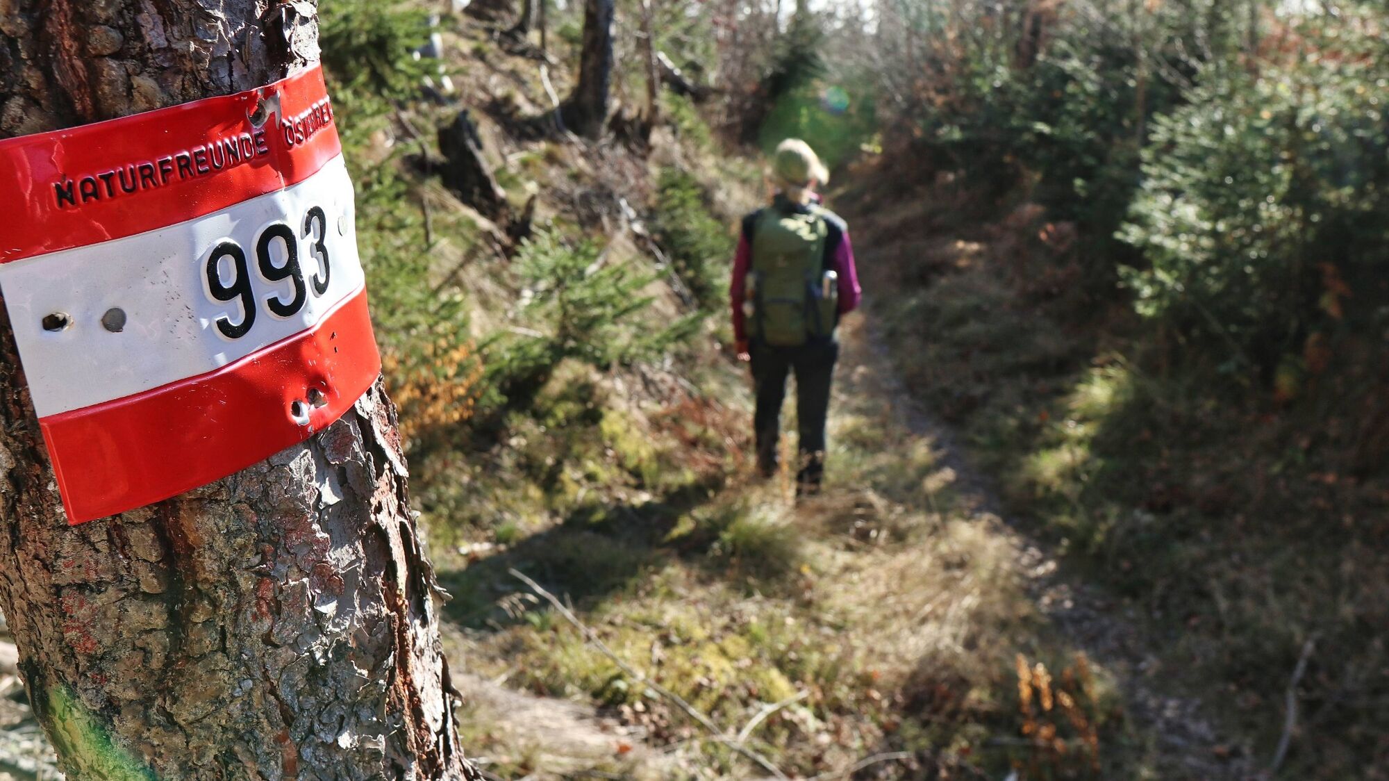
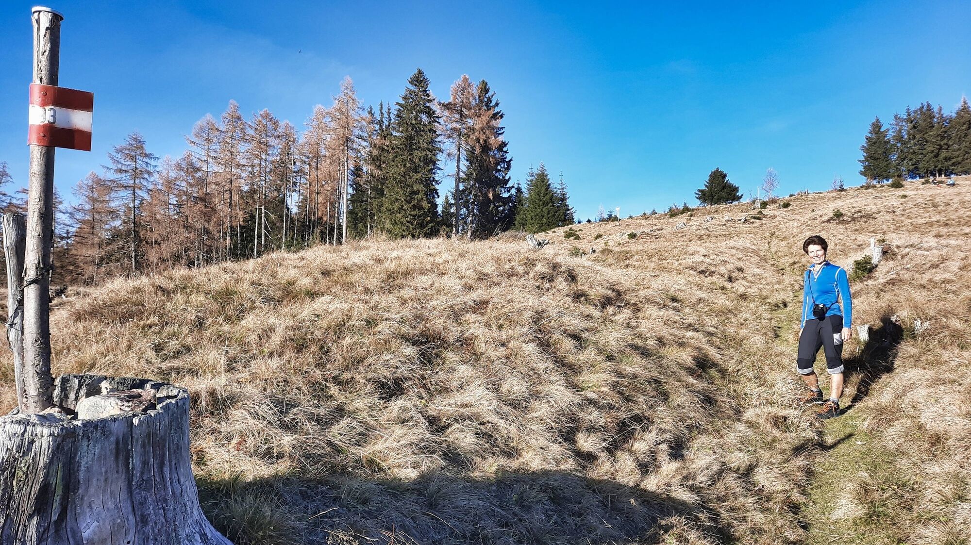
We start at the main square in Fohnsdorf (1), 736 m, and hike slightly uphill, past the church, always straight ahead, following the red-white-red markings or trail number 993. We walk slightly uphill along the densely populated area, passing a car park with a hiking overview board. We hike along the tarmac road, which then becomes a gravel road past the ruins of Fohnsdorf (Vanestorff) and continues uphill. The ascent is very scenic and after a total of approx. 3 km and 300 metres in altitude, we reach the farmstead vlg. Gstättner (2), 1040 metres above sea level. Shortly after the house, the hiking trail to the right leads to the chapel and then more steeply uphill along a path. Here we are travelling for approx. 1 km on a clear hollow path that leads to a forest path, which we continue to follow moderately uphill. The view of the surrounding mountains and the Judenburg-Knittelfeld basin becomes more impressive with every metre of altitude. The forest road ends at a hut and from now on we continue uphill in serpentines across the open alpine pastures until we reach the Hammerleck - Hölzelkogel (3), 1451 metres. The descent follows the ascent route, taking a detour to the ruins and the reconciliation cross.
- Highest point
- 1,446 m
- Endpoint
-
Fohnsdorf, main square
- Height profile
-

- Equipment
-
Backpack with rain cover Telescopic / hiking poles Mountain / hiking boots Gloves: waterproof and warm Headgear / sunglasses Outerwear: Onion layer system, T-shirt, jumper, jacket and winter jacket with hood Hiking trousersSeat pad Water bottle / thermos flask (on cooler days a warming drink is pleasant) Snack or snack First aid kit with blister plasters and tick tweezers
Other important items of equipment
Route description Detailed plan of the hike Hiking map: For an overview, a 1 : 50,000 scale map of the respective region GPS device mobile phone - Safety instructions
-
There are a few rules to follow to ensure conflict-free coexistence on mountain pastures and meadows, especially when travelling with dogs. (Source: www.sichere-almen.at - 06/2021 Avoid contact with grazing livestock, do not feed animals, keep a safe distance! Behave calmly, do not frighten grazing cattle!Mother cows protect their calves. Avoid encounters between suckler cows and dogs! Always keep dogs under control and on a short lead. If an attack by a grazing animal is foreseeable: Put them on a lead immediately! Do not leave hiking trails on mountain pastures and meadows! If grazing animals block the path, keep as far away as possible! When approaching grazing animals: Stay calm, do not turn your back, avoid the animals! Leave the grazing area quickly at the first sign of restlessness! Pay attention to fences! If there is a gate, use it, then close it again and cross the pasture quickly! Treat the people working here, nature and the animals with respect!
A few tips on correct and fair behaviour in the forest: (Source: www.bundesforste.at - 6/2021)
Hikers should avoid visiting the forest approx. 1.5 hours before sunrise and after sunset, as wild animals are particularly active at this time. Plastic bottles, handkerchiefs, cigarette butts etc. have no place in the forest! Please make sure that you do not leave any rubbish in the forest. In principle, every person in the forest is allowed to pick 2kg of mushrooms and berries per day for their own use. It is only prohibited if the forest owner expressly forbids it.Alpine emergency call:
Mountain rescue emergency number: 140
EU emergency number: 112
Weather service:
Direct link mountain weather Styria:
https://www.zamg.ac.at/cms/de/wetter/produkte-und-services/bergwetter/steiermark
- Tips
-
The hike can be extended to the Gaaler Höhe or Fohnsdorfer Hütte.
- Additional information
-
Murtal adventure region
Hotel Restaurant Perschler, Tel.: +43 3573 34204, 8753 Rattenberg, Landstraße 14, www.gasthof-perschler.at
Landhaus Wilhelmer, Tel.: +43 3577 22631, 8753 Aichdorf, Bundesstraße 19, www.wilhelmer.net
Gasthof Moser, Tel.: +43 3573 21470, 8753 Fohnsdorf, Grazerstraße 3, www.gasthaus-moser.eu
Cafe Restaurant Engelhardt, Tel.: +43 3573 4880, 8753 Fohnsdorf, Hauptplatz 9, www.engelhardt-fohnsdorf.at
Hotel Restaurant Schloss Gabelhofen, Tel.: +43 3573 5555-0, 8753 Hetzendorf, Schlossgasse 54, www.gabelhofen.at
Gasthaus Pizzeria Zum Kerzenschein, Tel.: +43 3573 20172, 8753 Hetzendorf, Judenburgerstraße 29, www.zumkerzenschein.at
Pizzeria La Rosa, Tel.: +43 3573 27548, 8753 Fohnsdorf, Hauptstraße 14, Facebook-Seite
Pizzaservice Milano, Tel.: +43 3573 21996, 8753 Fohnsdorf, Hauptplatz 6, www.milano-pizzaservice.at
Hauptplatztreff, Tel.: +43 3573 677 63691968, 8753 Fohnsdorf, Hauptstraße 1
Postwirt, Tel.: +43 3573 2135, 8753 Fohnsdorf, Landstraße 17
Stoxi’s Mostschänke, Tel.: +43 3573 3554, 8753 Fohnsdorf, Schlapfkogelweg 30
Gasthaus Mooswirt, Tel.: +43 3573 3566, 8753 Fohnsdorf, Steinemetzgraben 22, www.mooswirt.com
Bäckerei Cafe Wildbacher, Tel.: +43 3573 2264, 8753 Fohnsdorf, Hauptstraße 32c, Bäckerei Cafe Wildbacher.at
Bäckerei Konditorei Madenberger, Tel.: +43 3573 6034, 8753 Fohnsdorf, Hauptstraße 5, madenberger.at
Fleischerei Autischer, Tel.: +43 3573 2359, 8753 Fohnsdorf, Siemensstraße 1, Fleischerei Autischer.at
Petra’s Hofladen, Tel.: +43 6641454064, 8753 Fohnsdorf, Hauptstraße 1
Dorfladen, Tel.: +43 664 88414843, 8753 Fohnsdorf, Hauptplatz 1A, dorfladen-fohnsdorf.at
- Directions
-
From St. Michael in Upper Styria via the Murtal motorway S36 (toll sticker required) to the "Zeltweg-West" exit. Then via Aichdorf to Fohnsdorf (36 km, approx. 25 minutes).
From Judenburg via the Murtal motorway S36 (toll sticker required) to the "Judenburg-Ost" exit and on to Fohnsdorf (10 km, approx. 15 minutes).
- Public transportation
- Parking
-
No time limit and free parking at the stadium in Fohnsdorf. The car park (on the country road at the eastern end of the town towards Rattenberg) is just a 5-minute walk from the main square.

- Author
-
The tour Hammerleck über Gstättner is used by outdooractive.com provided.


General info
-
Erlebnisregion Murtal
1782
-
Steirisches Zirbenland
711
-
Fohnsdorf
190