
- Brief description
-
Beautiful hiking tour along the alpine pastures with some refreshment stops and beautiful views!
- Difficulty
-
medium
- Rating
-
- Starting point
-
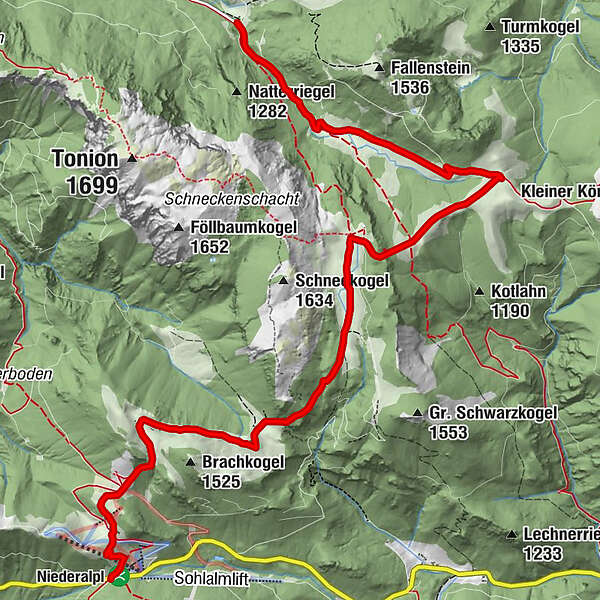
Niederalpl pass summit
- Route
-
Berggasthof Plodererhof0.1 kmWetterinalm Sennhütte0.7 kmWetterl1.1 kmWeißalm1.9 kmHalterhütte Ochsenboden3.2 kmRitzzeichenschacht4.3 kmHerrenboden (1,402 m)4.3 kmKluftschacht5.6 kmDürrieglalm6.7 kmSchacht?7.1 km
- Best season
-
JanFebMarAprMayJunJulAugSepOctNovDec
- Description
-
From the top of the pass on the long-distance hiking trail 405 via the Wetterinalm (Sennhütte) and Weißalm (Sennhütte) to Herrenboden (Sennhütte). From there turn right and continue to the Dürriegelalm (Sennhütte) and from there only downhill past the Falbersbachalm to Schöneben.
ATTENTION: 2 cars are needed for the tour (one should be parked in Schöneben), otherwise the same route must be walked back again.
Alternative: in Schöneben continue to Fallenstein (additional 1 hour) and from there take the Rufbus or cab back to Niederalpl.
The Rufbus runs from 1 May to 26 October every Saturday, Sunday and public holiday, as well as Thursday and Friday during the summer vacations.
Further information and registration: Taxi Scheucher, Tel.: +43 664 48 37 688
- Directions
-
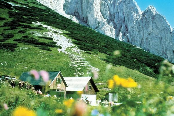
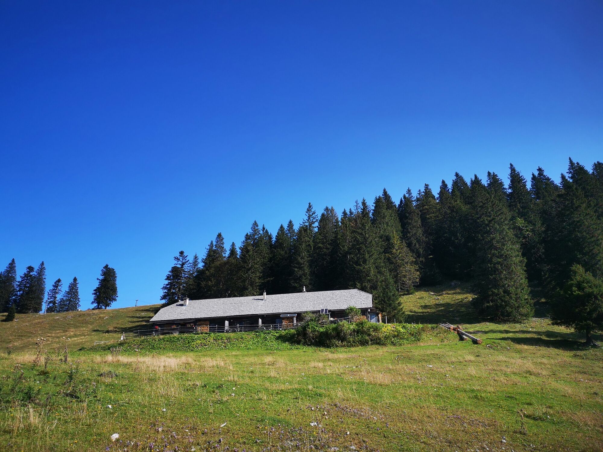
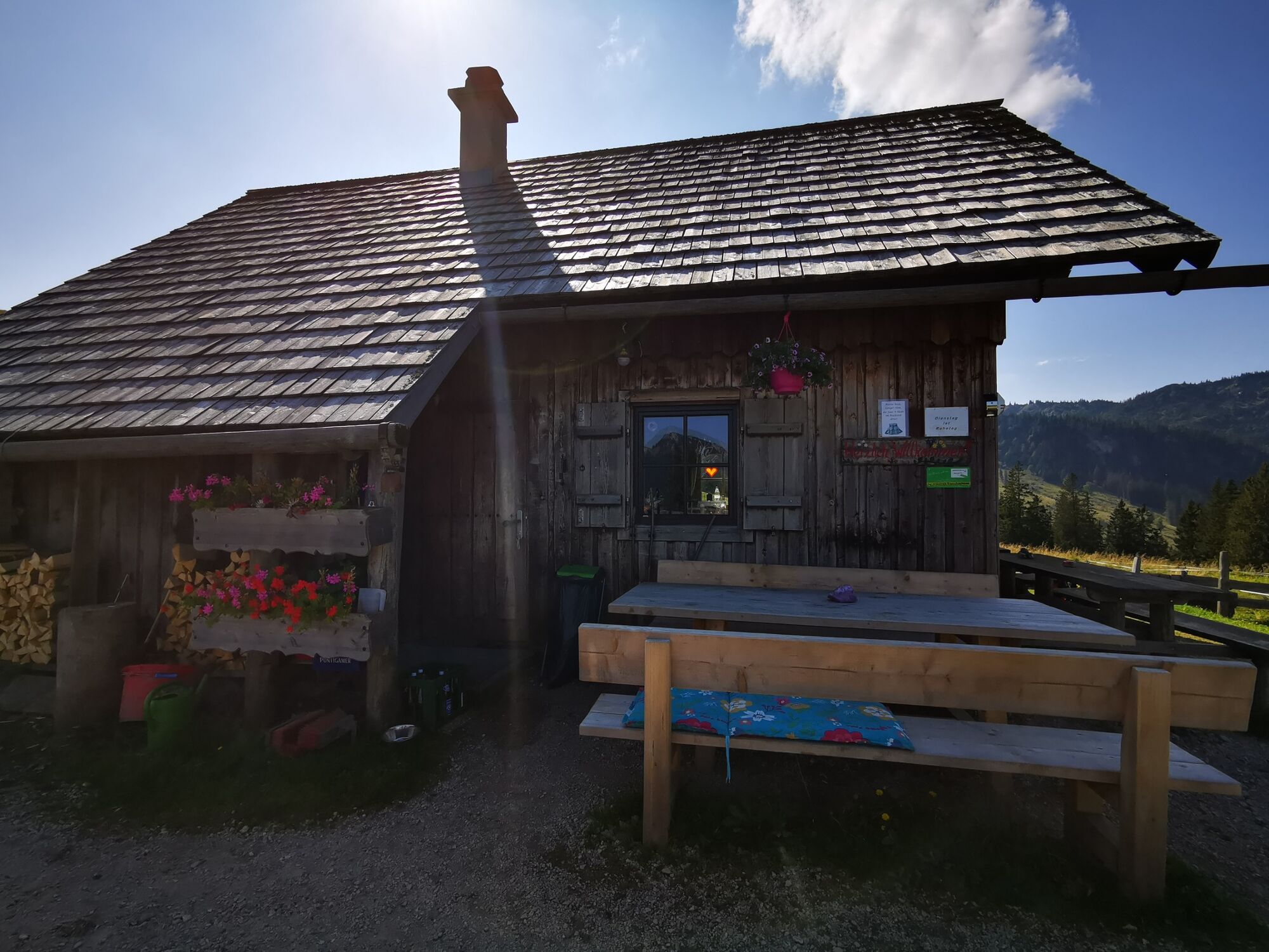
The tour starts at the pass summit Niederalpl. The path leads behind the inn Plodererhof slightly uphill until after about 10 minutes a forest road is reached, then after another 10 minutes you come to the Wetterinalm with the first refreshment option (Wetterinhütte, info at Tel.: +43 (0) 3882 2366. From the Wetterinalm it goes along a forest road leisurely about 40 minutes further to the Weißalm with another refreshment option (Weißalmhütte, Tel.: +43 (0) 676/72 45 037).
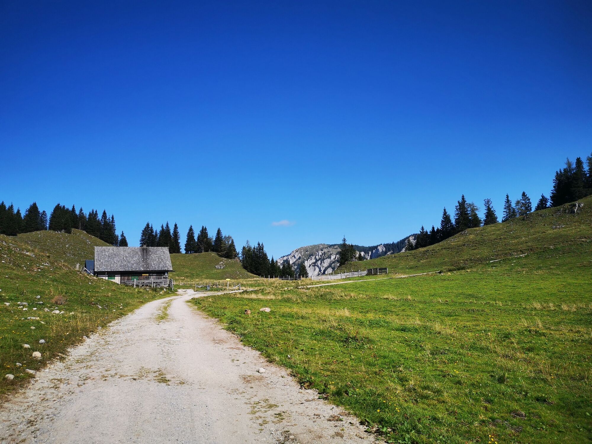
From the Weißalm, the trail continues along a road for about 20 minutes until you finally reach the alpine pasture at Ochsenboden. There is also a refreshment stop at Ochsenboden. From Ochsenboden the trail continues along a forest path for another 30 minutes to Herrenboden (Sennhütte on Herrenboden, Tel.: +43 (0) 676/325 41 50).
After the Herrenboden hut, do not follow the well-trodden path straight on, but branch off to the right through the meadow until you see a stone wall in the forest. (the path is not so easy to find, it is best to ask for the way again at the hut, where you will receive accurate and friendly information :) ).
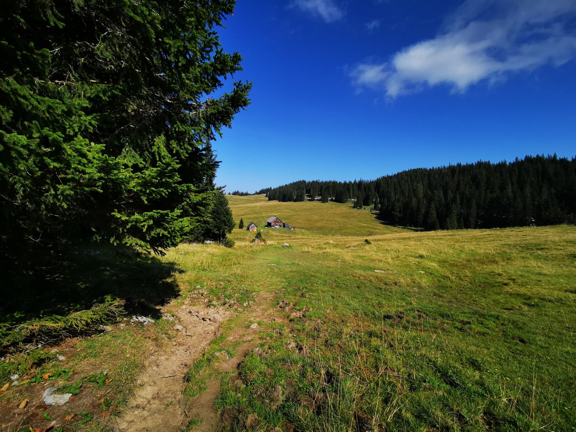
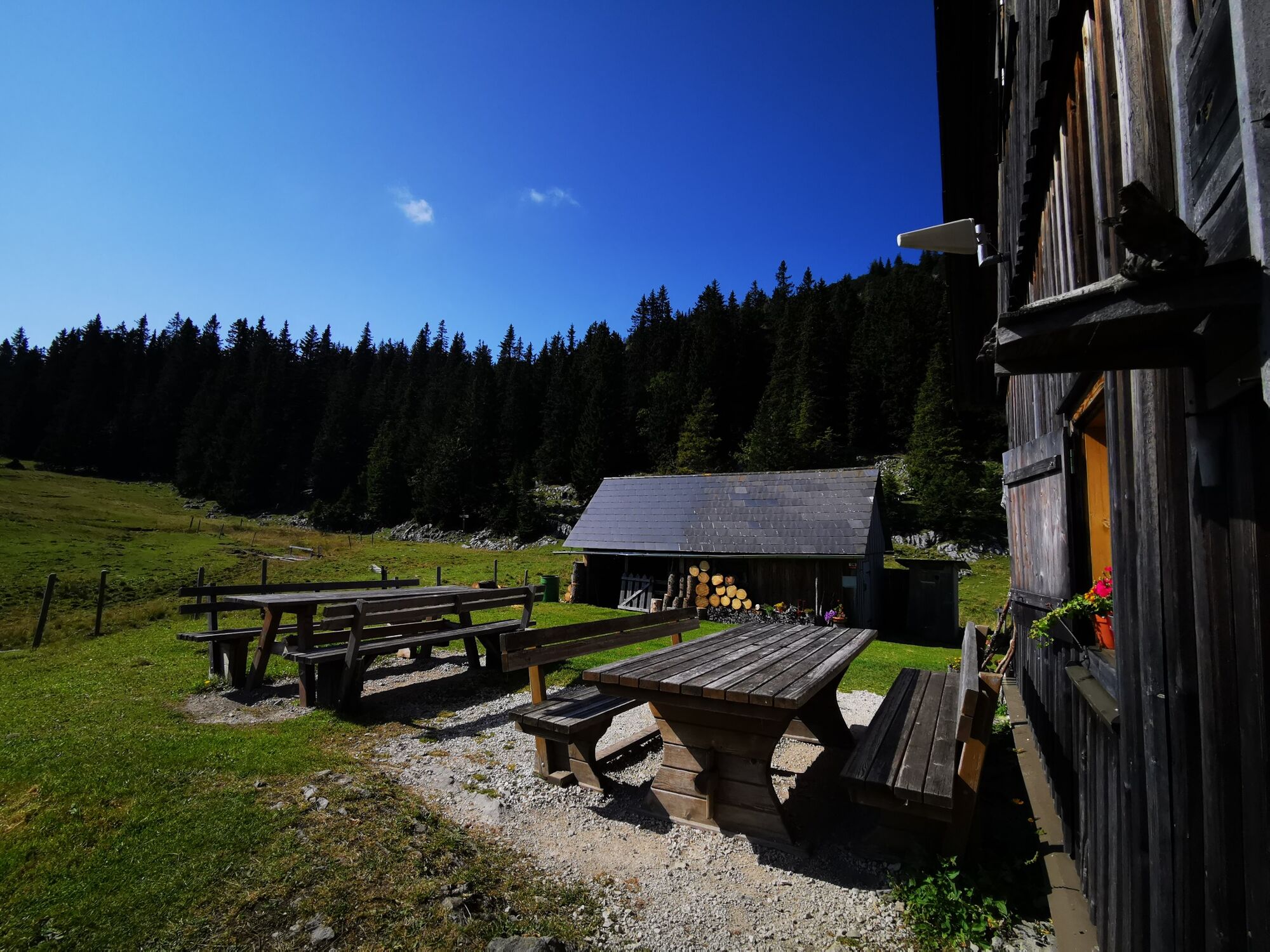
When you reach the stone wall, follow the red markings along the path (after about 15 minutes lookout point with a beautiful view of the Dürriegelalm), which always appear in the distance until you come to a fence, where the path divides: either up to the left or down to the right. To the Dürriegelalm you continue to the right. This narrow path now leads somewhat steeper downhill (ATTENTION: very stony path, partly slippery and muddy!!) until you come out again on a large meadow. Now it goes the last piece along the meadow to the Dürriegelalm, which you can already see in the distance. Walking time from Herrenboden to the Dürriegelalm is about 45 minutes. At the Dürriegelalm there is now the last opportunity to stop for refreshments (Sennhütte on the Dürriegel, Tel.: +43 (0) 676/34 20 103).
Now a forest road leads along a beautiful alpine landscape and the Falbersbachalm to Schöneben. From the Dürriegelalm to Schöneben the walking time is about 40 minutes, it goes continuously downhill.
- Highest point
- 1,488 m
- Endpoint
-
Schöneben
- Height profile
-

- Equipment
-
Sturdy shoes necessary.
Proper backpacking makes many things easier: pack heavy things first. The water bottle should always be within easy reach in a side pocket. All things that are often needed such as sunglasses, camera or hiking map belong on top. An emergency kit including blister plaster belongs in every backpack and a clothing according to the "onion system" is always recommended!
- Safety instructions
-
Emergency call mountain rescue: 140
Emergency reporting tip - provide answers to the six W questions: What happened? How many injured? Where did the accident happen (possibly GPS coordinates)? Who is reporting (callback number)? When did the accident happen? Weather at the accident site?
- Tips
-
Stop and rest in a hut along the way!
- Additional information
- Directions
-
Coming from Mariazell through Gußwerk in the direction of Seeberg,in Wegscheid, however, turn right, drive through Aschbach and then along some hairpin bends to Niederalpl Passhöhe.
- Public transportation
-
Call bus line 196 between Mariazell and Niederalpl.
The Rufbus runs from May 1 to October 26 every Saturday, Sunday and public holiday as well as Thursday and Friday during the summer vacations.
Further information and registration: Taxi Scheucher, Tel.: +43 664 48 37 688
- Parking


- Author
-
The tour Alpine pasture hike Niederalpl - Schöneben is used by outdooractive.com provided.


General info
-
Hochsteiermark
4066
-
Mariazellerland
1506
-
Halltal
373