


- Brief description
-
Mountain tour to one of the most striking peaks and one of the most beautiful mountain lakes of the Schladminger Tauern.
- Difficulty
-
difficult
- Rating
-
- Starting point
-
Top station cable car
- Route
-
Berggasthof Scharfetter0.0 kmKrummholzhütte0.0 kmTOMiziel0.1 kmHauser Kaibling viewpoint1.0 kmHauser Kaibling (2,015 m)1.0 kmRossfeldsattel (1,877 m)2.2 kmSeeschartl (2,070 m)3.4 kmZwieslingscharte (2,381 m)5.3 kmHöchstein (2,543 m)5.7 kmFilzscharte (2,213 m)6.5 kmRossfeldsattel (1,877 m)9.3 kmTOMiziel11.4 kmKrummholzhütte11.4 kmBerggasthof Scharfetter11.4 km
- Best season
-
JanFebMarAprMayJunJulAugSepOctNovDec
- Description
-
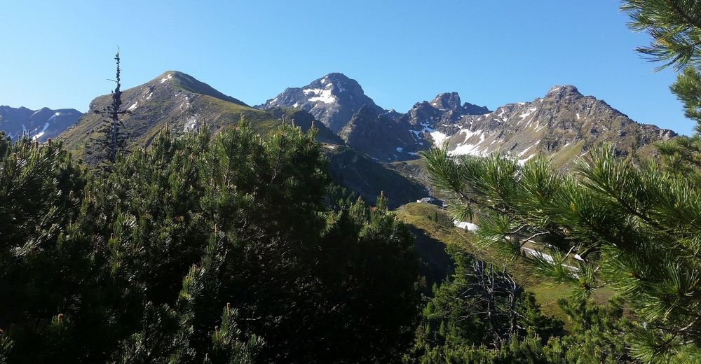
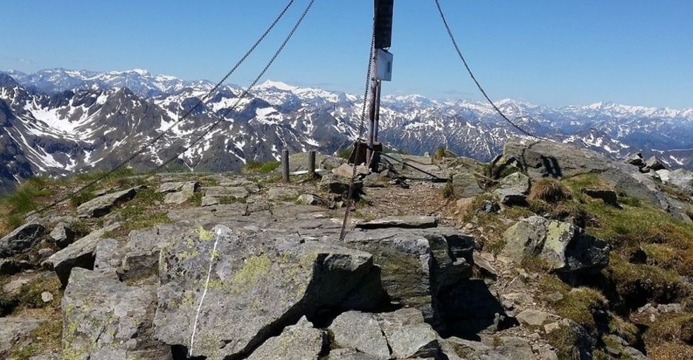
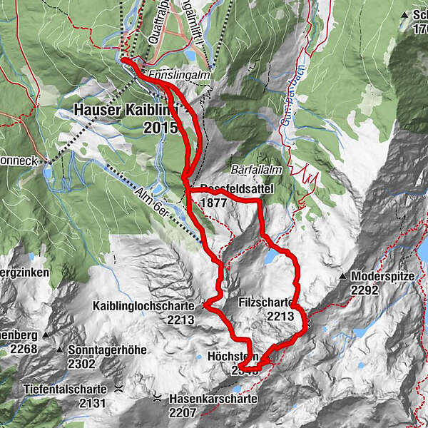
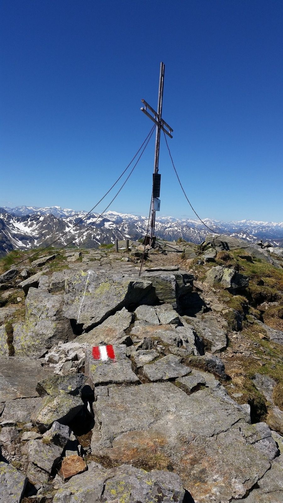
The summit tour from Hauser Kaibling over the Seescharte and the Höchstein is one of the most impressive high alpine panorama trails in the Schladming-Dachstein region. Because of the starting point at high altitude, we are spared lengthy ascents. The tour starts already above the tree line and offers magnificent views. Especially impressive is the Tauern panorama with Waldhorn, Klafferkessel und Hochgolling from the summit of the Höchstein.
- Directions
-
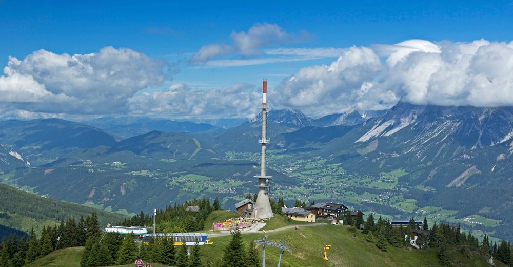
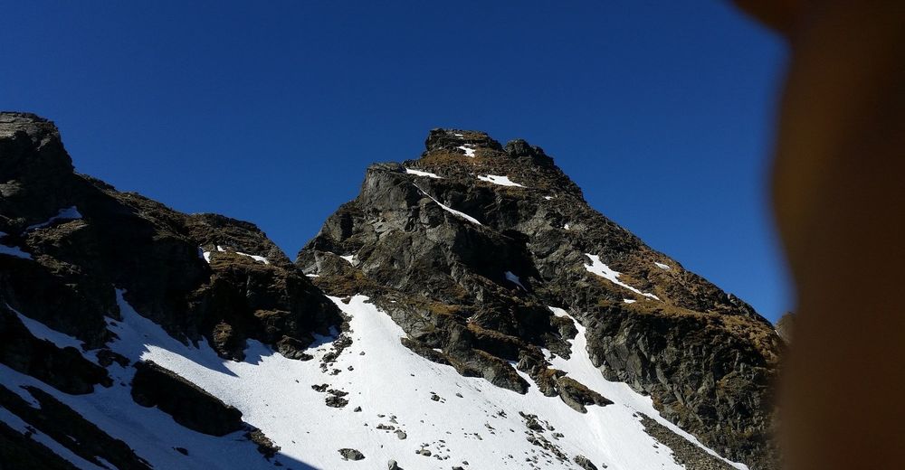
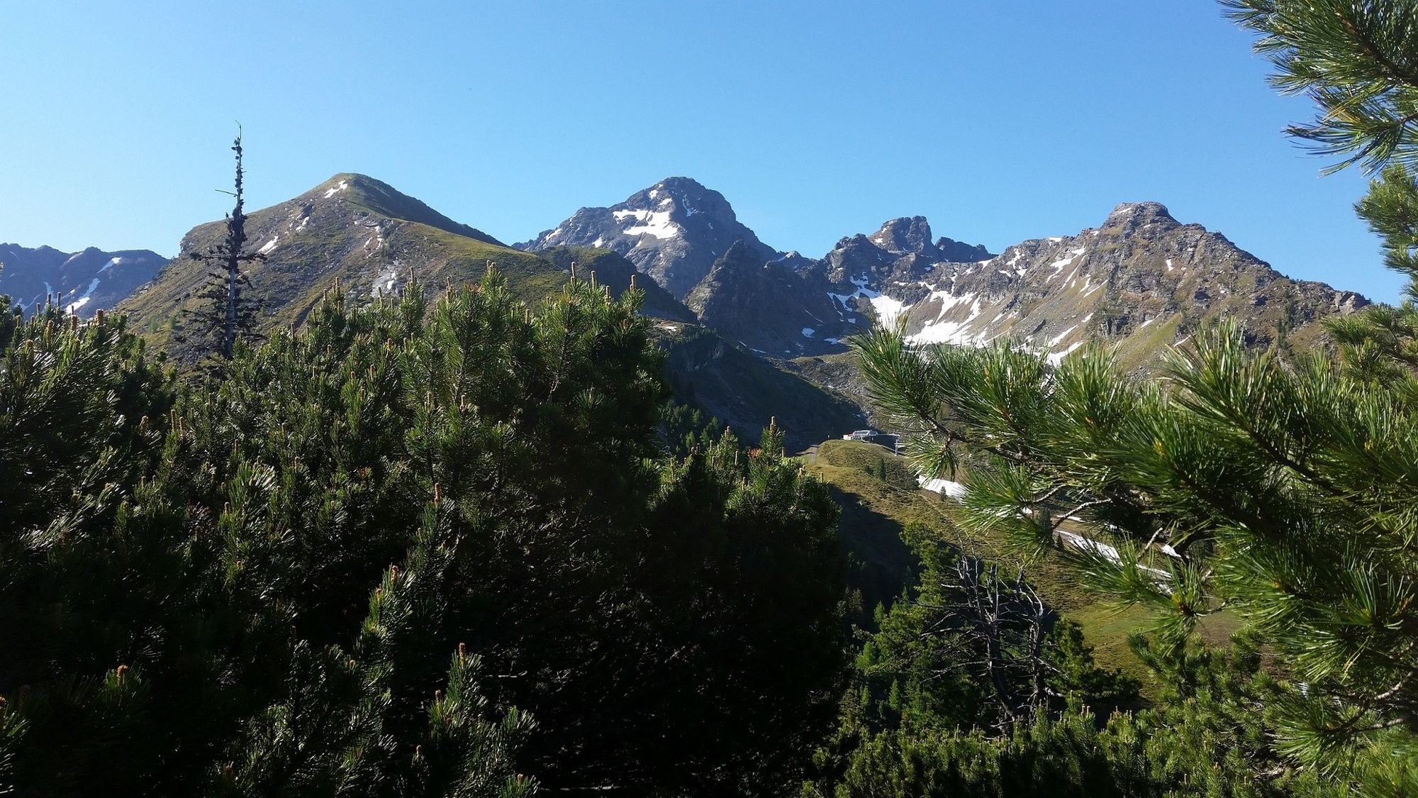
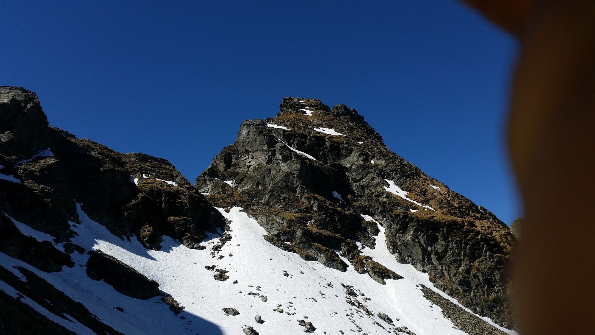
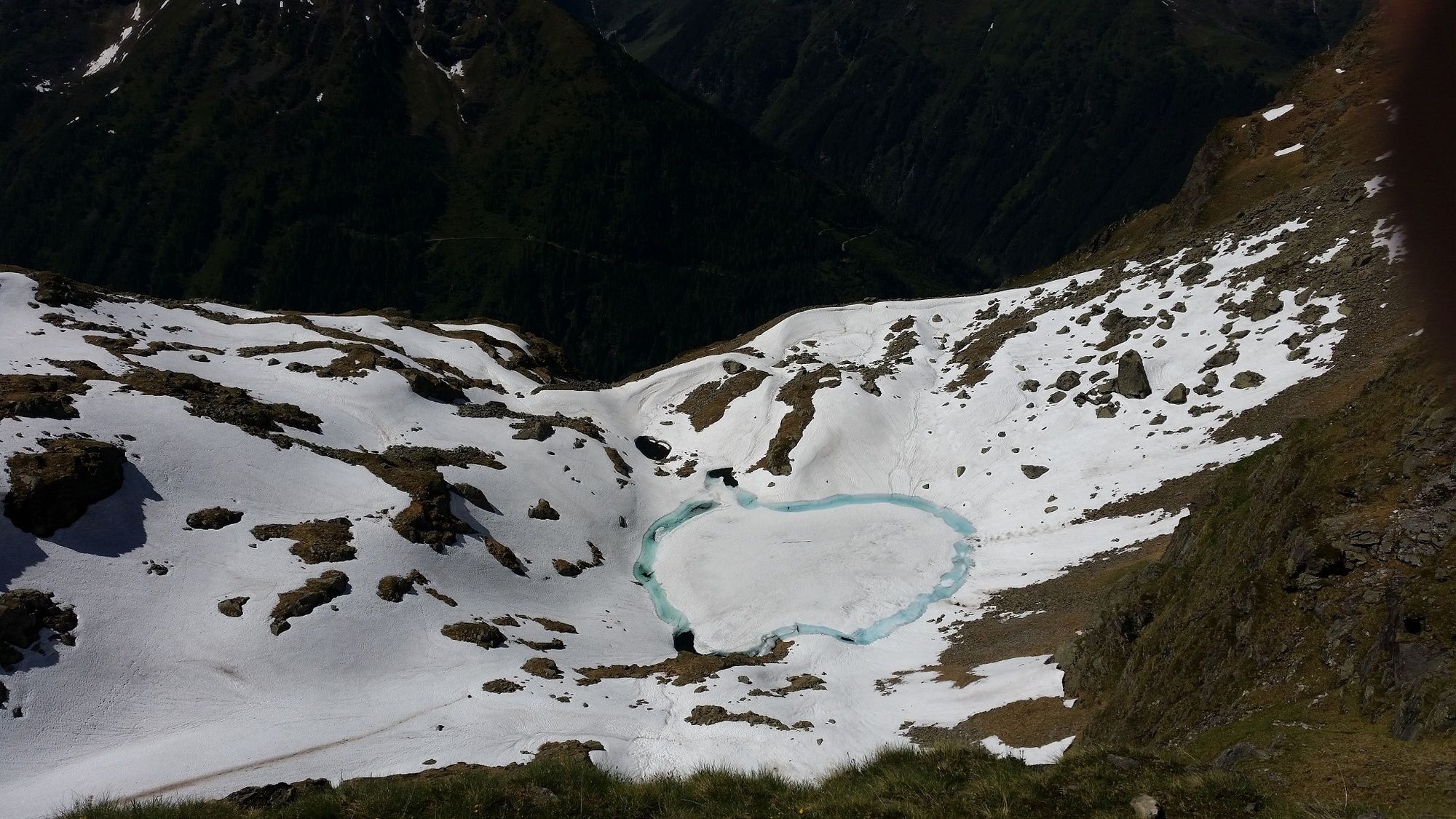
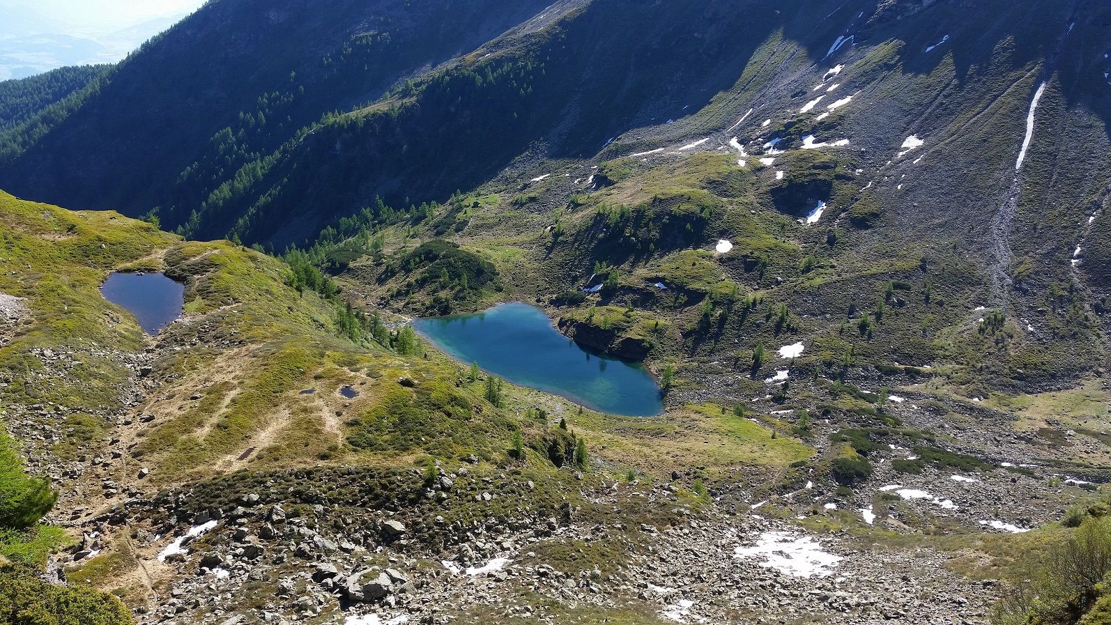
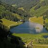
From the top station of the Schladminger Tauern cable car or the chair lift Quattralpina to Hauser Kaibling, the trail heads south past the transmitter mast and over a striking grass ridge up to the summit cross of Hauser Kaibling (2,015 m). Up here, the view of the Höchstein gives you a small foretaste of the experiences of the next few hours. Now we go south on the free ridge and through mountain pine fields down to the Rossfeld saddle. We continue on trail no. 780 under the Bärfallspitze to the Seescharte. When you reach the saddle, you can see the lake "Moaralmsee", which is located deep below. A narrow and very steep path leads down to the lake. However, our path leads over a steep step up to the Kaiblinglochscharte. After a short flat stretch it gets steep again - under the Zwiesling there are some wire ropes for protection. The last meters to the Gifpel are once again very demanding and lead over rocky climbing terrain to the cross. Once at the top, the efforts of the climb are quickly forgotten, the view from all sides is indescribably beautiful. After an extensive rest at the summit, the route continues on the northeast ridge down to the Filzscharte. The path leads over rough block terrain, with intermediate safety measures but without major difficulties downhill. At the Filzscharte (2,213 m) the path branches off to the right to the Hans-Wödl-Hütte. Our next destination, the Moaralmsee, is on the left side, we reach the beautifully situated lake after the descent on path no. 781. Impressively the massif of the Höchstein is reflected in the water of the lake. If you follow the little stream that leaves the mountain lake, you will reach the alpine pastures in the Gumpental. Our route, however, leads us along the steep slopes of the Bärfallspitze, which are covered with grass and bushes, back to the Rossfeld saddle (path no. 45). From here we take the shortest way following the marking No. 780 to the starting point at the cable car top station.
- Highest point
- 2,502 m
- Endpoint
-
Top station cable car
- Height profile
-

- Equipment
-
sturdy shoes, rain gear
- Safety instructions
-
Sure-footedness and head for heights
- Tips
-
Good physical condition, alpine experience, sure-footedness and head for heights - if all this is available, nothing stands in the way of an unforgettable summit victory.
- Additional information
-
Tour at your own risk! No liability will be accepted for any given or occurring alpine driving (weather, etc.).
- Directions
-
Ennstalbundesstraße (B320) - Haus im Ennstal:
- valley station Schladminger Tauern cable car (above the catholic church in Haus im Ennstal)
- valley station Hauser Kaibling cable car (directly next to the main road)
- Public transportation
-
Postbus (L900) - Exit: Haus Ort oder Hauser Kaibling Seilbahn
- Parking
-
parking area Schladminger Tauern cable car or Hauser Kaibling cable car
-
-
AuthorThe tour Hauser Kaibling (2.015 m) - Höchstein (2.543 m) - Moralmsee is used by outdooractive.com provided.


General info
-
Schladming - Dachstein
3001
-
Haus - Aich
1364
-
Haus im Ennstal
366


