


- Brief description
-
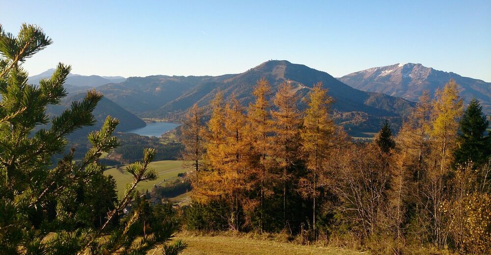
There are several ways to hike the Mariazeller Bürgeralpe. The shortest variant takes about 1 hour and leads in turns under the cable car supports on the mountain. Of course we also have the possibility to hike over the Stehralm or via the Habertheuersattel to the beautiful Aussichtsberg.
- Difficulty
-
medium
- Rating
-
- Starting point
-
center of Mariazell
- Route
-
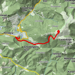
Mariazell0.0 kmRudolfsbrünnl1.0 kmBerggasthof2.5 kmBürgeralpe (1,270 m)2.6 kmEdelweißhütte2.7 kmErlaufseeblick3.2 kmHabertheurersattel (1,015 m)4.7 kmSankt Sebastian8.1 kmMariazell8.9 km
- Best season
-
JanFebMarAprMayJunJulAugSepOctNovDec
- Directions
-
We hike from the center of the village via Schießstattgasse to Buschniggweg (also called Sebastiani or Rosenkranzweg). After about 5 minutes we turn right onto trail 694 and hike through the forest and along numerous switchbacks to the mountain station (1,270m).
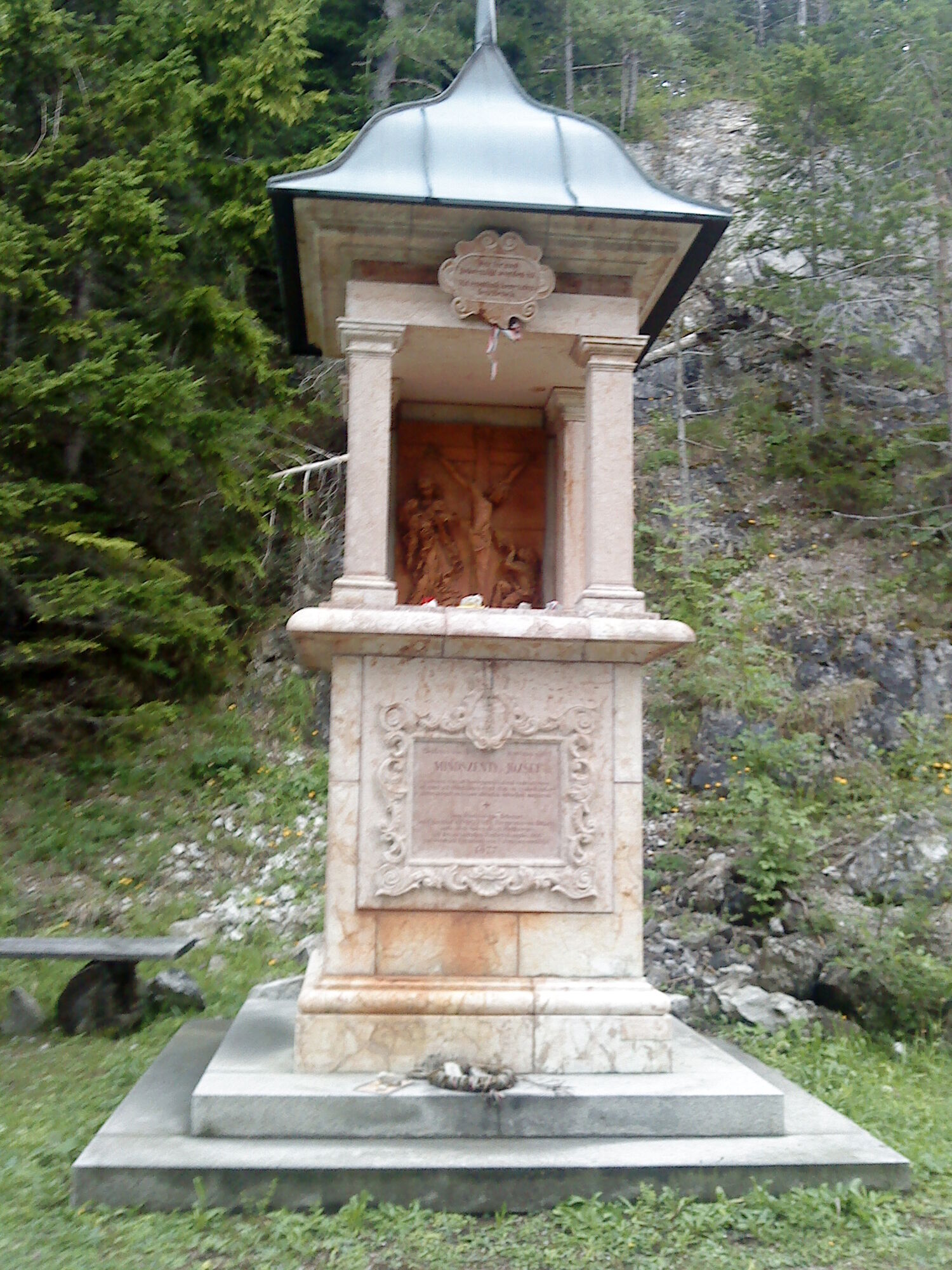
After a rest in the mountain inn or at the Pfanni in the Edelweißhütte, we continue on trail 694 to the Habertheuersattel and then turn left onto trail 692. At the fork in the Habertheuer (option straight ahead to St. Sebastian or right to Mitterbach) we keep left and follow the Sebastiani Rosenkranzweg, past the Holzknechthütte and along the rosary stations to Mariazell.
Refreshment stops:
Berggasthof Bürgeralpe, tel.: +43 (0) 3882 2508 Edelweiss hut, Tel.: +43 (0) 3882 4255 Numerous restaurants in Mariazell - Highest point
- 1,263 m
- Endpoint
-
Bürgeralpe Mariazell
- Height profile
-

- Equipment
-
Proper backpacking makes many things easier: pack heavy things first. The water bottle should always be within easy reach in a side pocket. All things that are often needed such as sunglasses, camera or hiking map belong on top.
An emergency kit belongs in every backpack!
A clothing according to the "onion system" is always recommended!
A good hiking boot is a good companion and should never be missing on the mountain!Do not forget a blister plaster just in case!
- Safety instructions
-
Emergency call mountain rescue: 140
Emergency reporting tip - provide answers to the six W questions: What happened? How many injured? Where did the accident happen (possibly GPS coordinates)? Who is reporting (callback number)? When did the accident happen? Weather at the accident site?
Safety tips for a carefree hiking trip with dog can be found here
- Tips
-
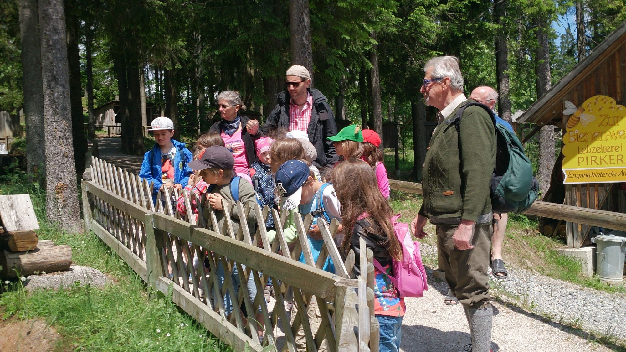
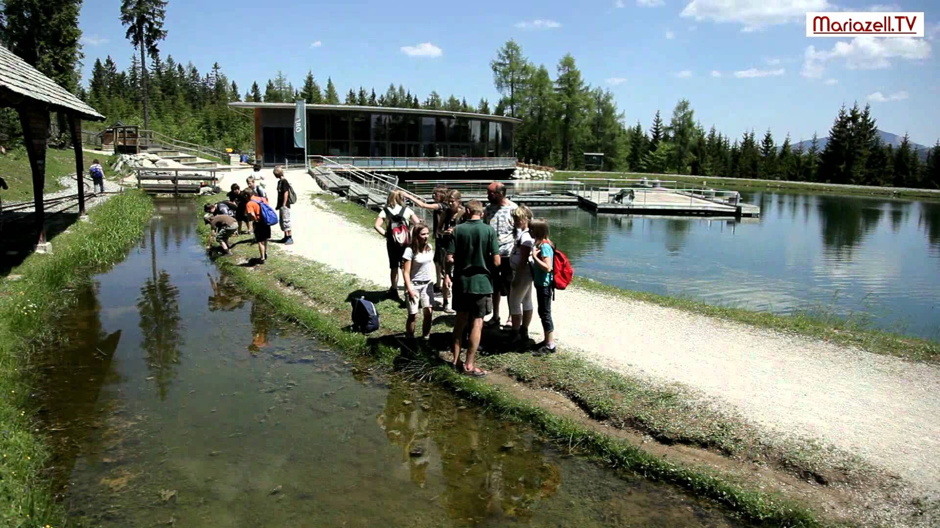
Don't forget to visit the woodcutter's land located at the mountain station. Work processes from bygone times have been recreated here and give an interesting insight into the life of the lumberjacks of yesteryear.
- Public transportation
-
ÖBB www.oebb.at , Verbundlinie Steiermark www.busbahnbim.at , Mariazellerbahn www.mariazellerbahn.at
With the BusBahnBim app of Verbundlinie, timetable information has never been easier: all connections by bus, train and streetcar in Austria can be queried by entering locations and/or addresses, stops or important points.
The app is available as a free app for smartphones (Android, iOS) - on Google Play and in the App Store.
- Parking


- Author
-
The tour Around the Mariazell Bürgeralpe (694 and 692) is used by outdooractive.com provided.


General info
-
Mostviertel
2451
-
Mariazellerland
1503
-
Mariazeller Bürgeralpe
380