


- Brief description
-
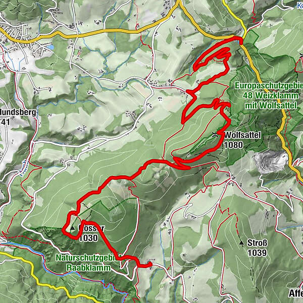
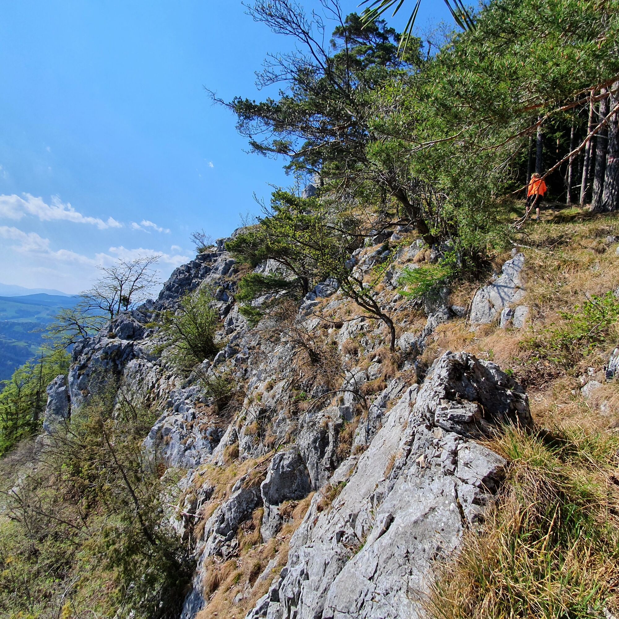
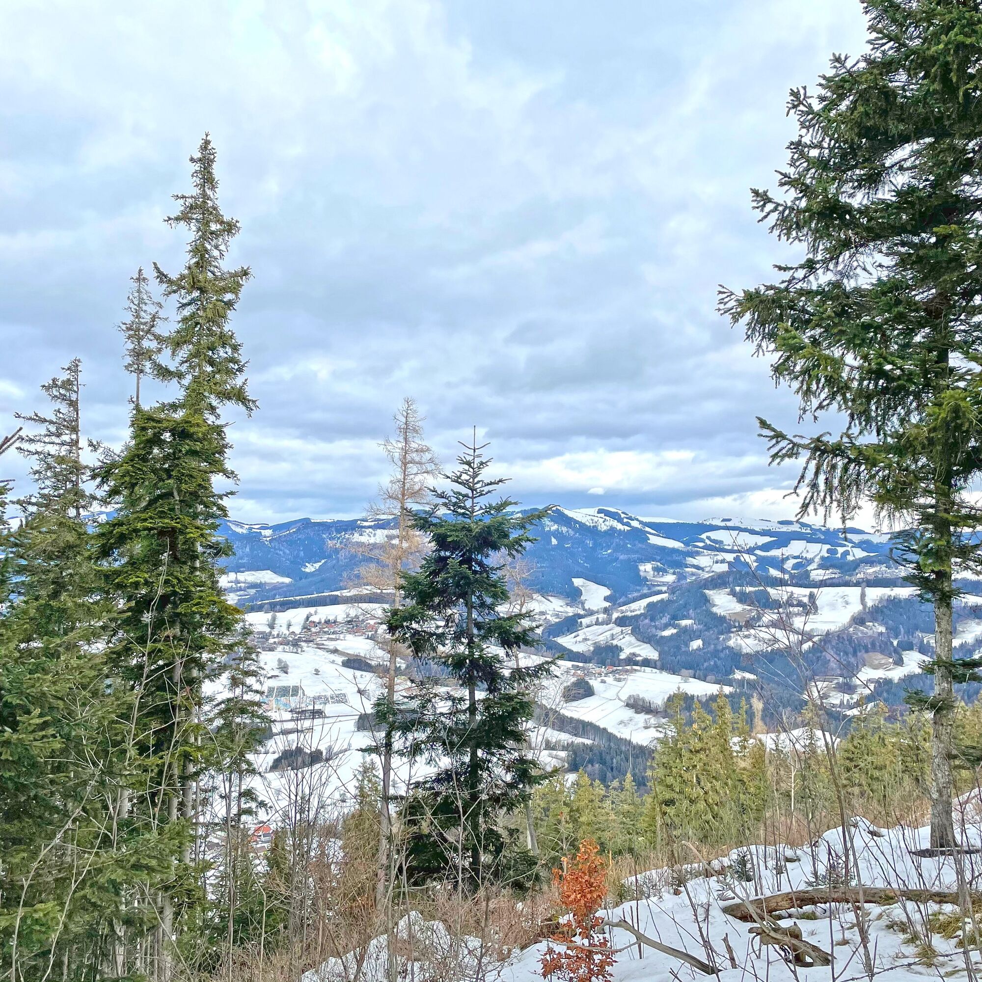
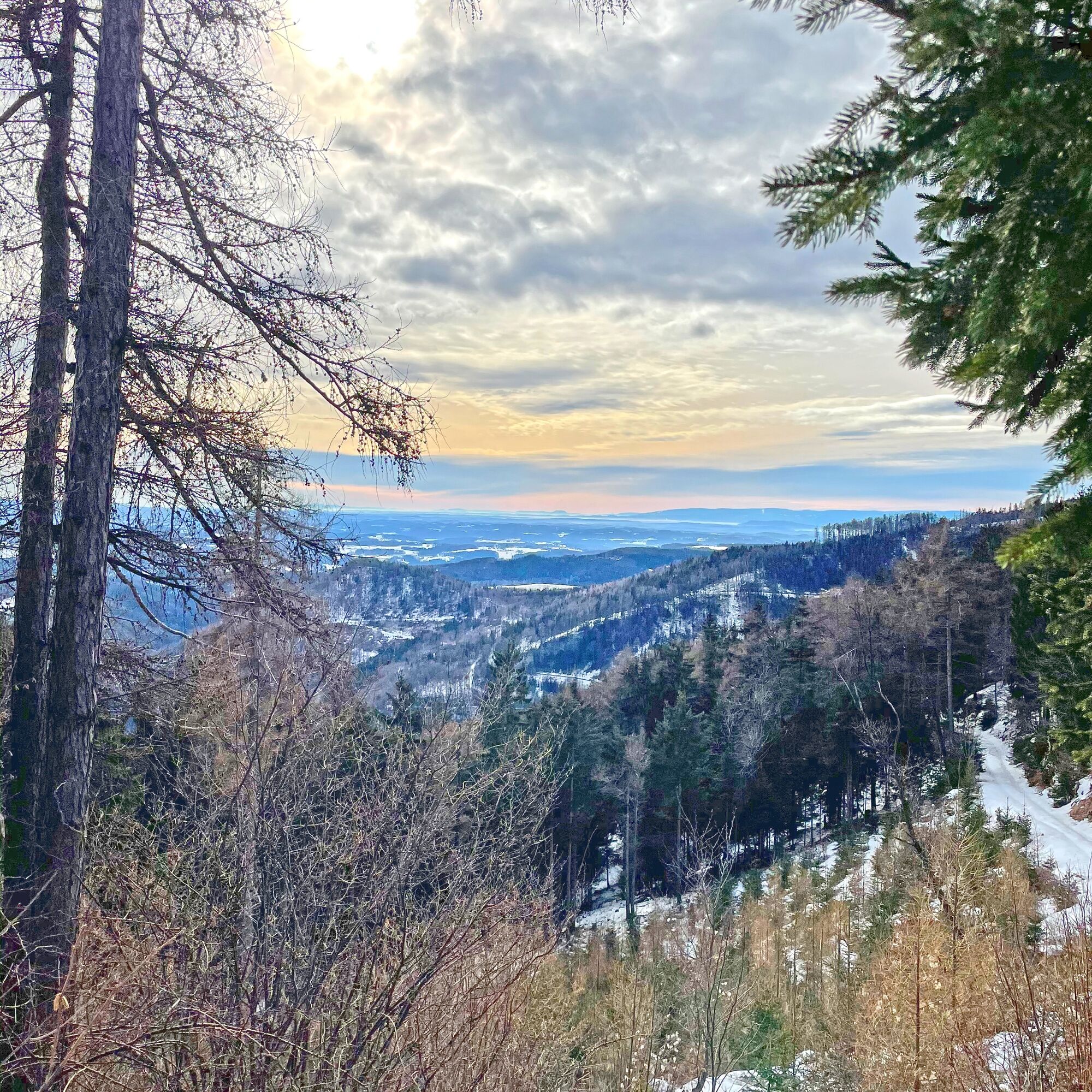
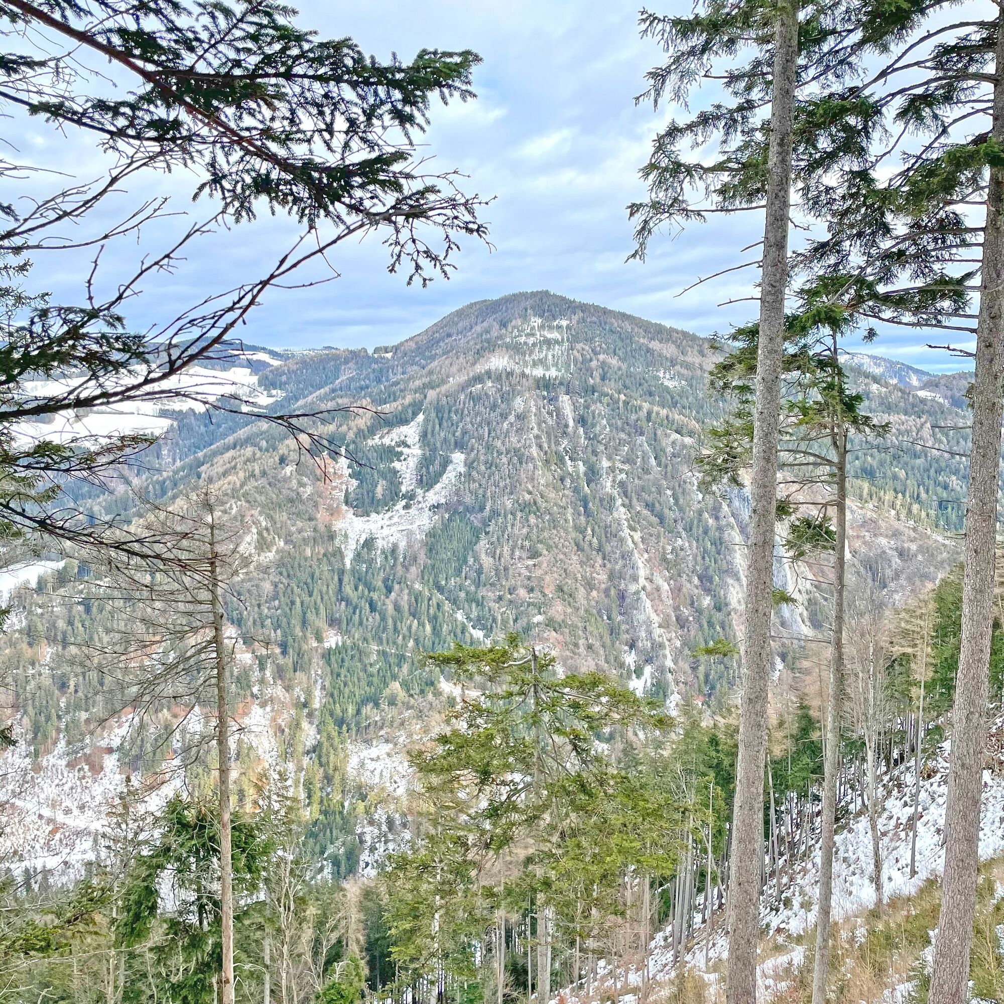
This tour goes over the Saddle Mountains, which stand between the Raabklamm and Weizklamm gorges. Here you have views in all directions and great views from all the mountains.
- Difficulty
-
medium
- Rating
-
- Starting point
-
Dürntalwirt Inn
- Route
-
Dürntalwirt0.1 kmGrasslhöhle0.3 kmGösser (1,030 m)2.4 kmLärchsattel4.0 kmWachthaussattel (950 m)4.8 kmWolfsattel (1,080 m)6.7 kmWeizeben9.3 km
- Best season
-
JanFebMarAprMayJunJulAugSepOctNovDec
- Description
-
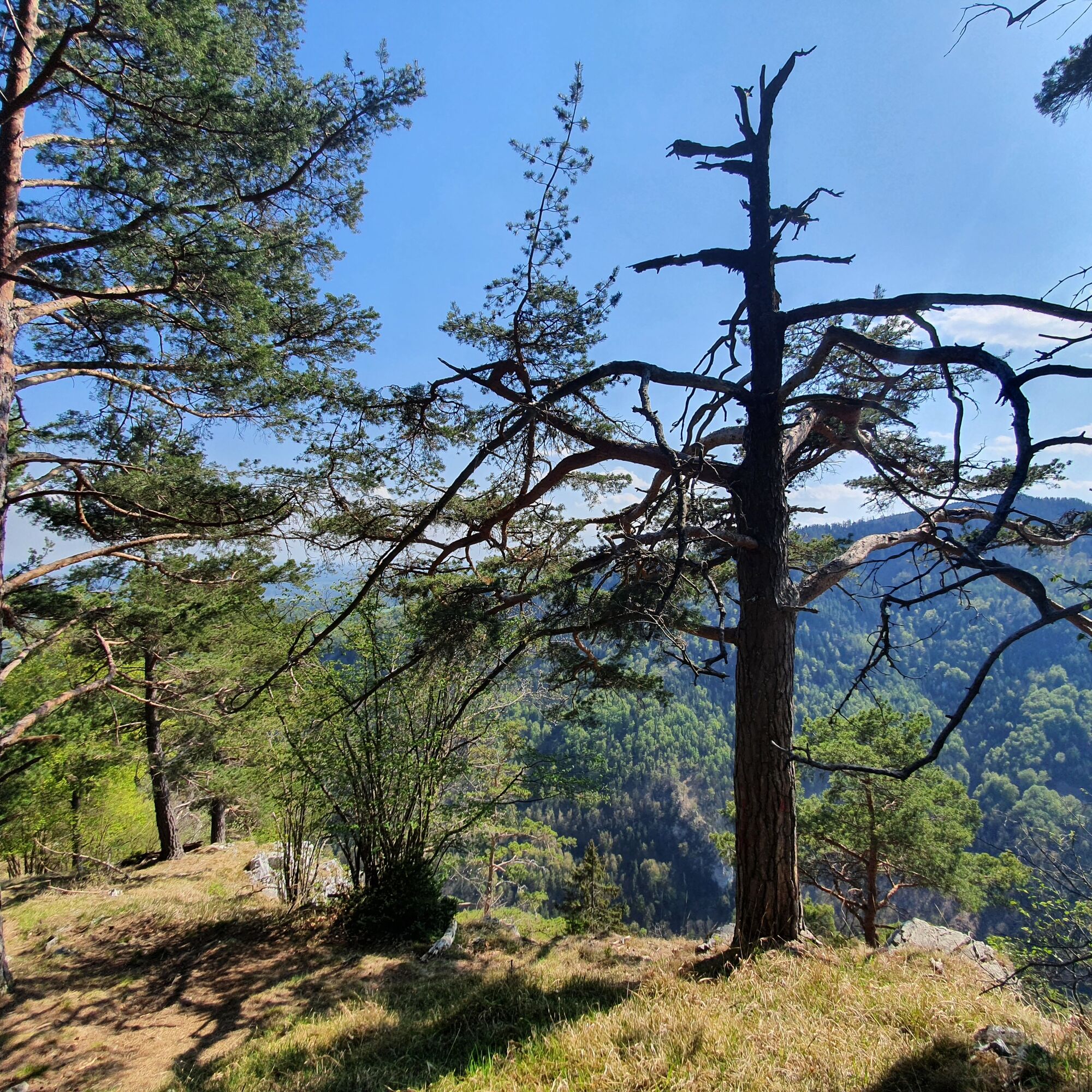
On this route you explore the Saddle Mountains, which are located between the Raab and Weiz gorges. You are offered views from the Raabklamm gorge over the alpine pastures into the Weizklamm gorge. The easy ascents to the individual saddle mountains provide a constant change of pace. The hike also scores with its wide meadows, which invite you to relax and have a snack in the warm months. The perfect day hike right on your doorstep.
- Directions
-
We start our route at the Dürntalwirt inn.
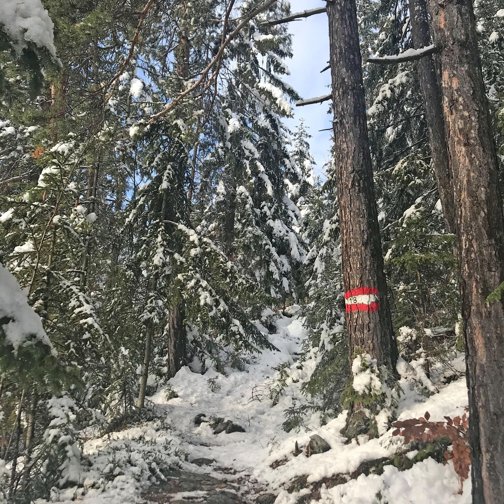
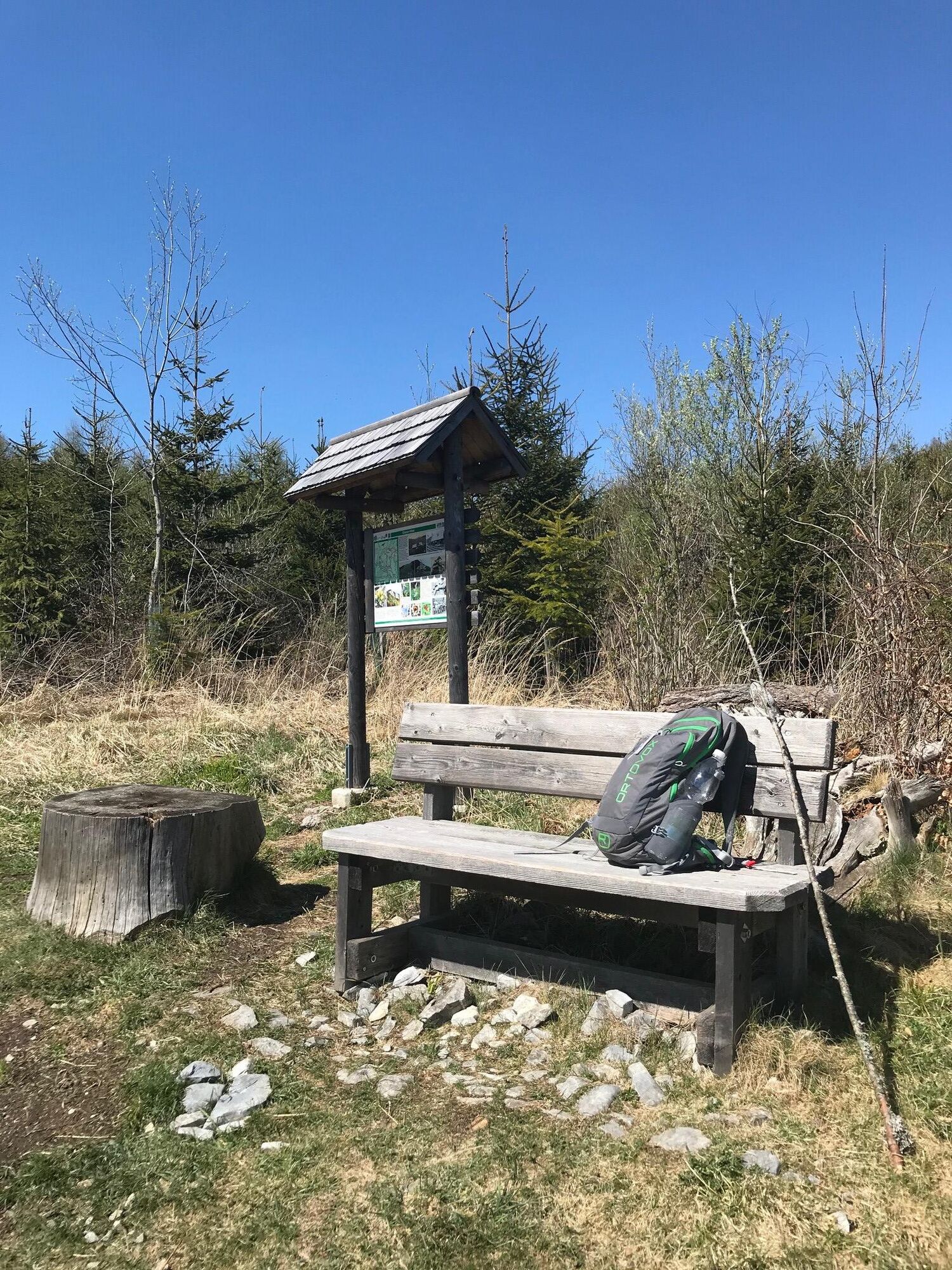
First we follow the signposts in the direction of the Naas Cave Trail. When we reach the Grasslhöhle cave, we follow trail no. 18 in the direction of Gösser. Always following the Austrian flags, we come to a rise with a seat after the first ascent.
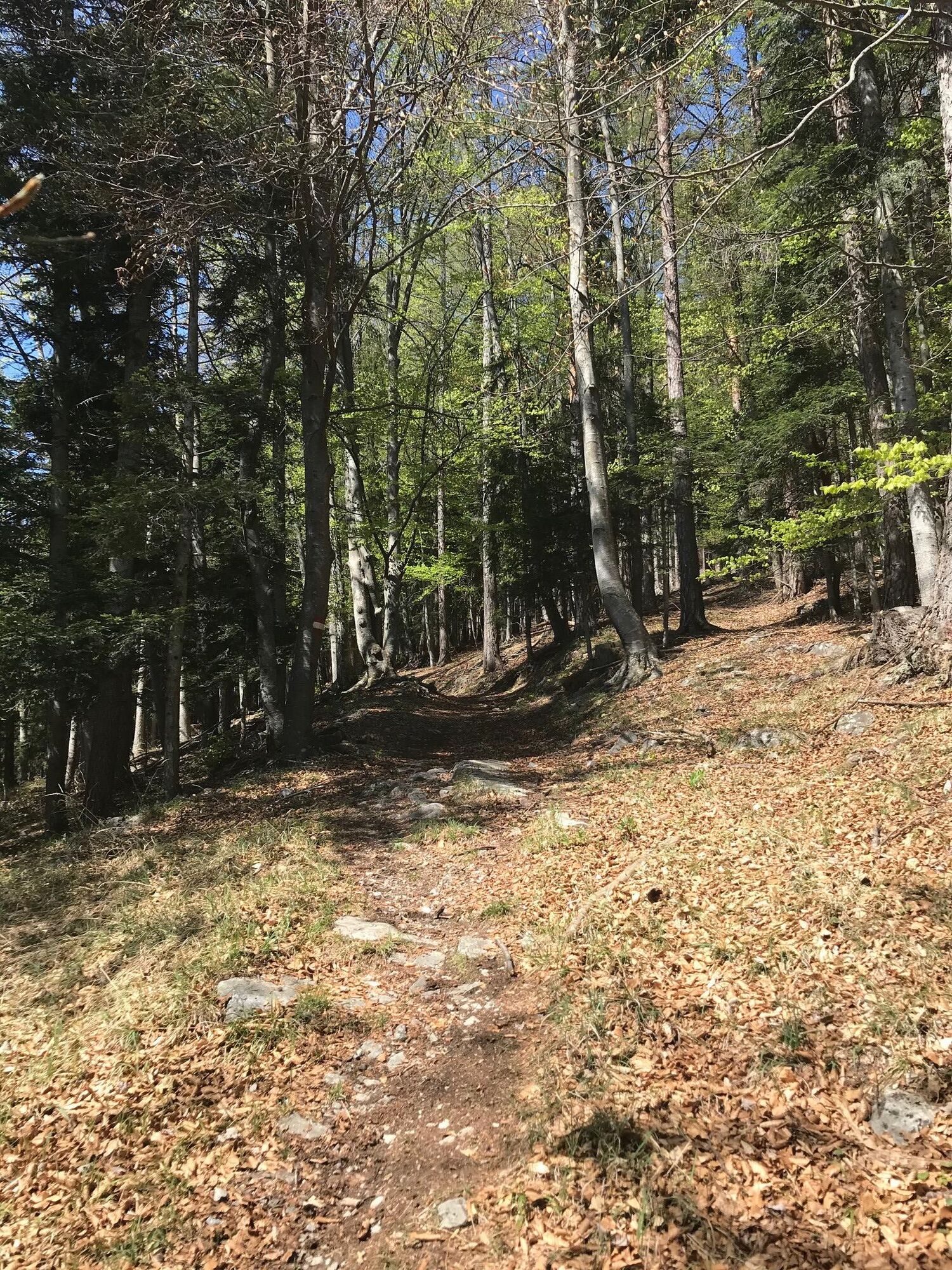
After a short rest, we follow the signs to the left towards Gösser. Soon we reach the highest point of the Gösser. We follow the markings on the descent and walk along a forest road towards the Lärch saddle.
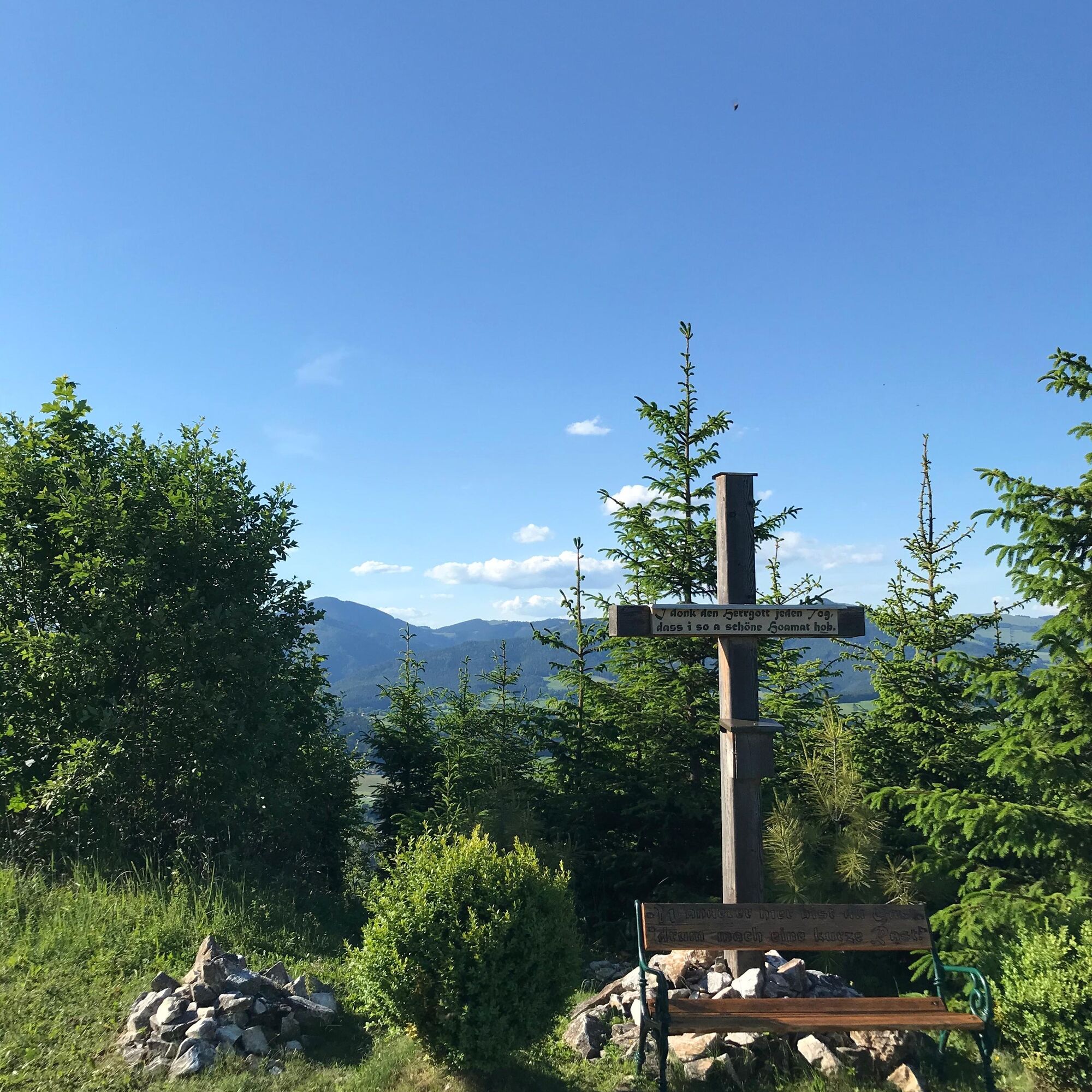
Turn left towards the Lärch saddle and follow the forest road. Soon we come to a junction where we keep to the right to go up to the Lärch saddle. Follow the path until you see the cross on the summit of the Lärch saddle.
Already here we have a great view of Passail to the left of the cross. Continue along the path. After a short while we come to a fork, where we keep to the right.
Soon we reach the Wachthau saddle, which we have to cross. This is followed immediately by the Wolf saddle, where the summit book can be found on a hill.
We follow the path a little further and soon come to a path on the left side. We descend this path and follow the three colours (yellow, blue, red) until we reach the Kreuzwirt, our destination. - Highest point
- 1,057 m
- Endpoint
-
Dürntalwirt Inn
- Height profile
-

- Equipment
-
Small rucksack with water bottle (+ provisions)
Sturdy shoes
Appropriate clothing - preferably several layers - "onion principle"
Rain and sun protection
Hiking poles as required
Cell phone
Small first aid kit
Route description
Before starting the hike, check where you can stop for refreshments, including opening times, or pack suitable food and drink. - Safety instructions
-
Important telephone numbers: European emergency call: 112 Emergency call mountain rescue: 140 (if possible, please provide GPS data) Rescue: 144 Fire department: 122 Police: 133
Tips for even more hiking fun: Rules of conduct when hiking
A few tips on correct and fair behavior in the forest:
(Source: www.bundesforste.at )
Hikers should avoid visiting the forest approx. 1.5 hours before sunrise and after sunset, as wild animals are particularly active at this time. Plastic bottles, handkerchiefs, cigarette butts etc. have no place in the forest! Please make sure that you do not leave any garbage in the forest. Camping and making fires is strictly forbidden in the forest! In principle, every person in the forest is allowed to collect 2 kg of mushrooms and berries per day for their own use. It is only prohibited if the forest owner expressly forbids it. - Tips
-
Take a blanket and a good snack with you and enjoy them while enjoying one of the great views of the Saddle Mountains.
- Additional information
- Directions
-
The district capital of Weiz is located in Eastern Styria.
From Graz via the main road: Take Kaiser-Franz-Josef-Kai and Wickenburggasse to Jahngasse / B67a. Follow the road on the B72 to Weiz and take the exit towards Weiz-West.
From Weiz you must then drive via Weizer Hauptplatz in the direction of Mortantsch. Then keep going in the direction of Leska and follow the road for about another 5 km to Dürntalwirt Inn.
- Public transportation
- Parking


-

-
AuthorThe tour Saddle Mountains Tour from the Gösser to the Wolf Saddle is used by outdooractive.com provided.


General info
-
Erlebnisregion Graz
2783
-
Naturpark Almenland
1767
-
Naas
502


