- Brief description
-
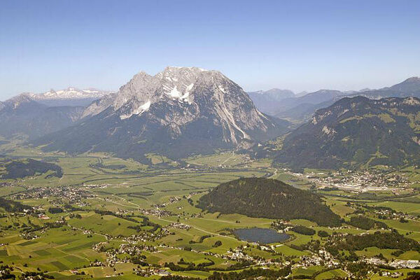
The Panorama Trail is easy and not too demanding. But as the name suggests, it is a "must do" for all passionate runners because of the magnificent panorama around Gröbming.
- Difficulty
-
easy
- Rating
-
- Starting point
-
Gröbming - Parkplatz gegenüber der Polizei
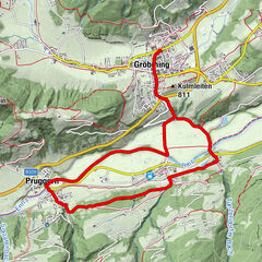
- Route
-
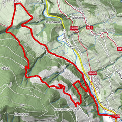
GröbmingFriedfofskapelle0.0 kmHofmanning0.5 kmWeyern4.5 kmJausenstation Stodermaut5.8 kmWinkl6.8 kmGröbming9.1 kmFriedfofskapelle9.3 km
- Best season
-
JanFebMarAprMayJunJulAugSepOctNovDec
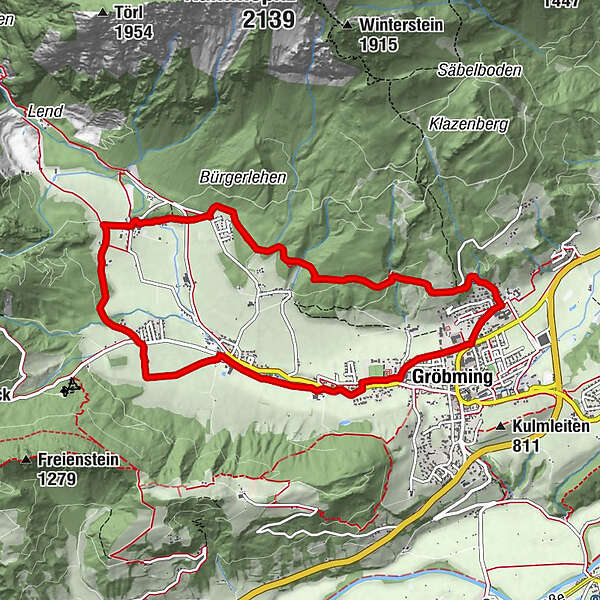
- Description
-
Starting from the center of Gröbming, the round leads over the 100er Panoramaweg in the direction of Oberwinkl. Beautiful villages and easy paths characterize the picture of this running round. Because of the wonderful panorama around Gröbming, the comfortable, short and not too demanding Panorama Trail is a "must do" for all passionate runners.
- Directions
-
Starting from the center of Gröbming, the round leads over the 100er Panoramaweg in the direction of Oberwinkl. Beautiful villages and easy paths characterize the picture of this running round. Because of the wonderful panorama around Gröbming, the comfortable, short and not too demanding Panorama Trail is a "must do" for all passionate runners.
- Highest point
- 913 m
- Endpoint
-
Gröbming - Parkplatz gegenüber der Polizei
- Height profile
-

- Equipment
-
suitable footwear, weatherproof clothing
- Directions
-
From Salzburg: A 10 Tauernautobahn to Altenmarkt/Pongau junction - B 320 Ennstalbundesstraße - Gröbming
From Graz: A 9 Phyrn Motorway to St. Michael junction - Liezen B 320 to Gröbming
From Linz: A 9 Phyrnautobahn to Liezen (Bosrucktunnel MAUT!! or Phyrnpass) - B 320 to Gröbming
- Parking
-
public parking places towards the police-station in Gröbming

- Author
-
The tour Panorama Trail (Number 3) is used by outdooractive.com provided.