- Brief description
-
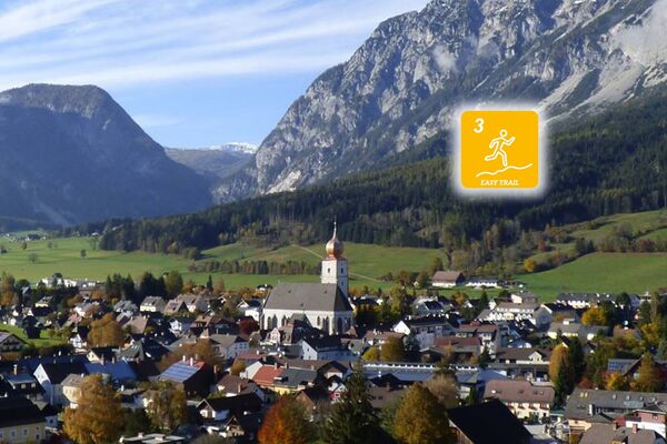
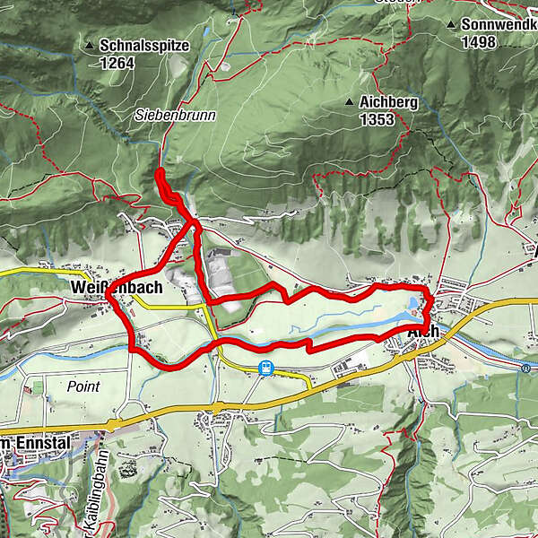
Easy trail running course from Aich, which is suitable as a running lap either completely or only in parts.
- Difficulty
-
easy
- Rating
-
- Starting point
-
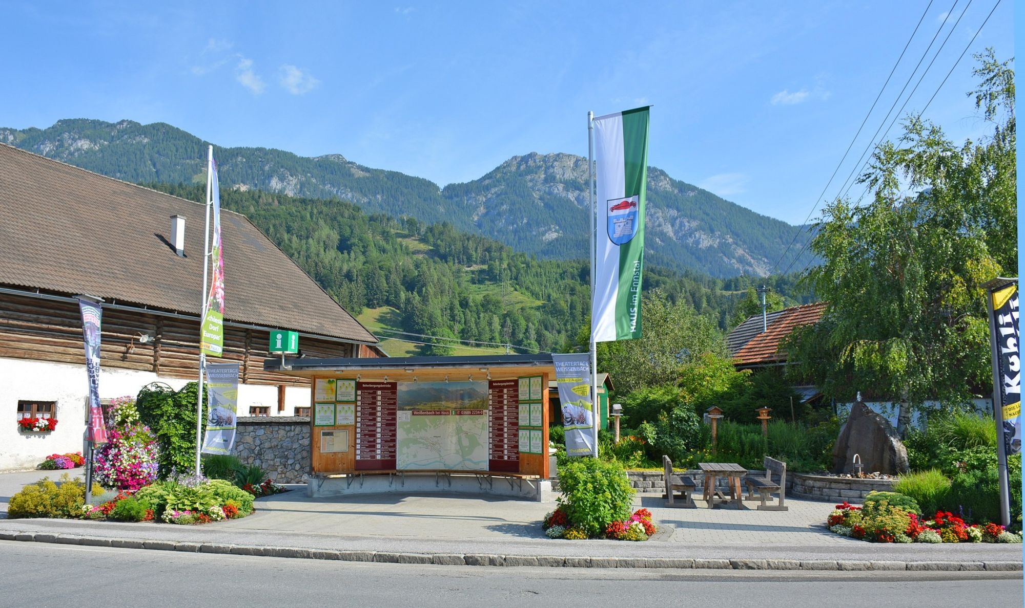
Village square Aich
- Route
-
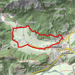
GrafenwirtAichBärenwirt0.1 kmWeißenbach5.9 kmAich9.7 kmGrafenwirt9.8 km
- Best season
-
JanFebMarAprMayJunJulAugSepOctNovDec
- Description
-
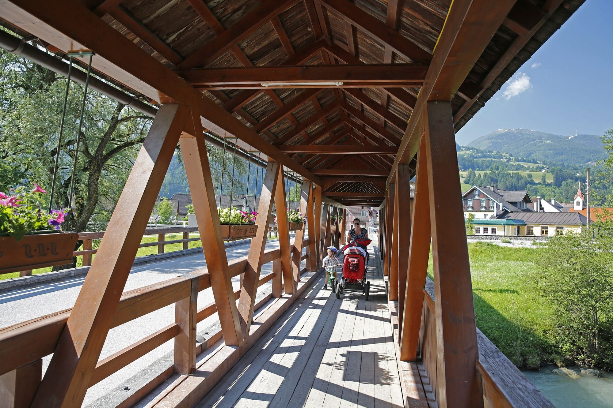
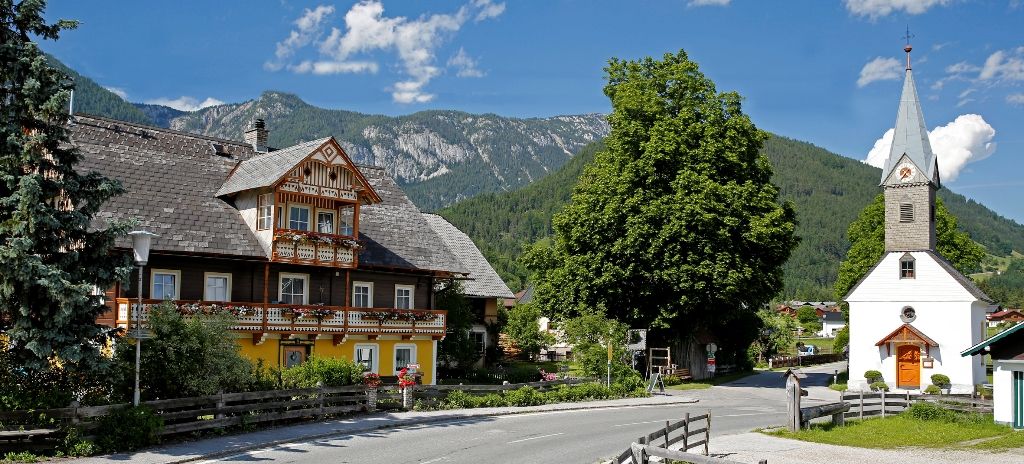
A wonderful route that leads through the idyllic villages of Aich and Weißenbach. Asphalt roads; forest, meadow and forest paths
- Directions
-
start: Village square Aich/parking area Gasthof GrafenWirt - railroad crossing - Enns River bridge - crossroad Millereck - Langtrum until Arnoldhof - turn left and follow the street (appr. 1 km) - forest path until Lärchschachenweg - parking area Kneipp facility/crossing Sonnberg - forest and root path until Kneipp facility (direction Gradenbachtal) - turn and back to crossing Sonnberg - follow the street to the centre of Weißenbach - leave Weißenbach in direction Haus im Ennstal - after Enns River bridge (nearby Weißenbach) turn left and follow the path next to the Enns River - railroad crossing Ruperting - Enns river bridge (Ruperting) - follow the meadow path until Village square Aich
- Highest point
- 765 m
- Endpoint
-
Village square Aich
- Height profile
-

- Equipment
-
suitable footwear
- Tips
-
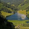
Summer: Cooling down is guaranteed - swimming lake Aich and Kneipp facility Weißenbach!
- Directions
-
main road (B320) - exit: Aich - village square Aich/parking area inn GrafenWirt
- Public transportation
-
bus (line 900) - exit: Aich Bundesstraße
Regional trains that stop at railway station Aich.
- Parking
-
Parking area inn GrafenWirt
Public parking area opposite the Landhotel Bärenwirt (next to the Enns river)

-
-
AuthorThe tour Aich Trail (No. 5) is used by outdooractive.com provided.


General info
-
Schladming - Dachstein
72
-
Haus - Aich
50
-
Aich
15