- Brief description
-
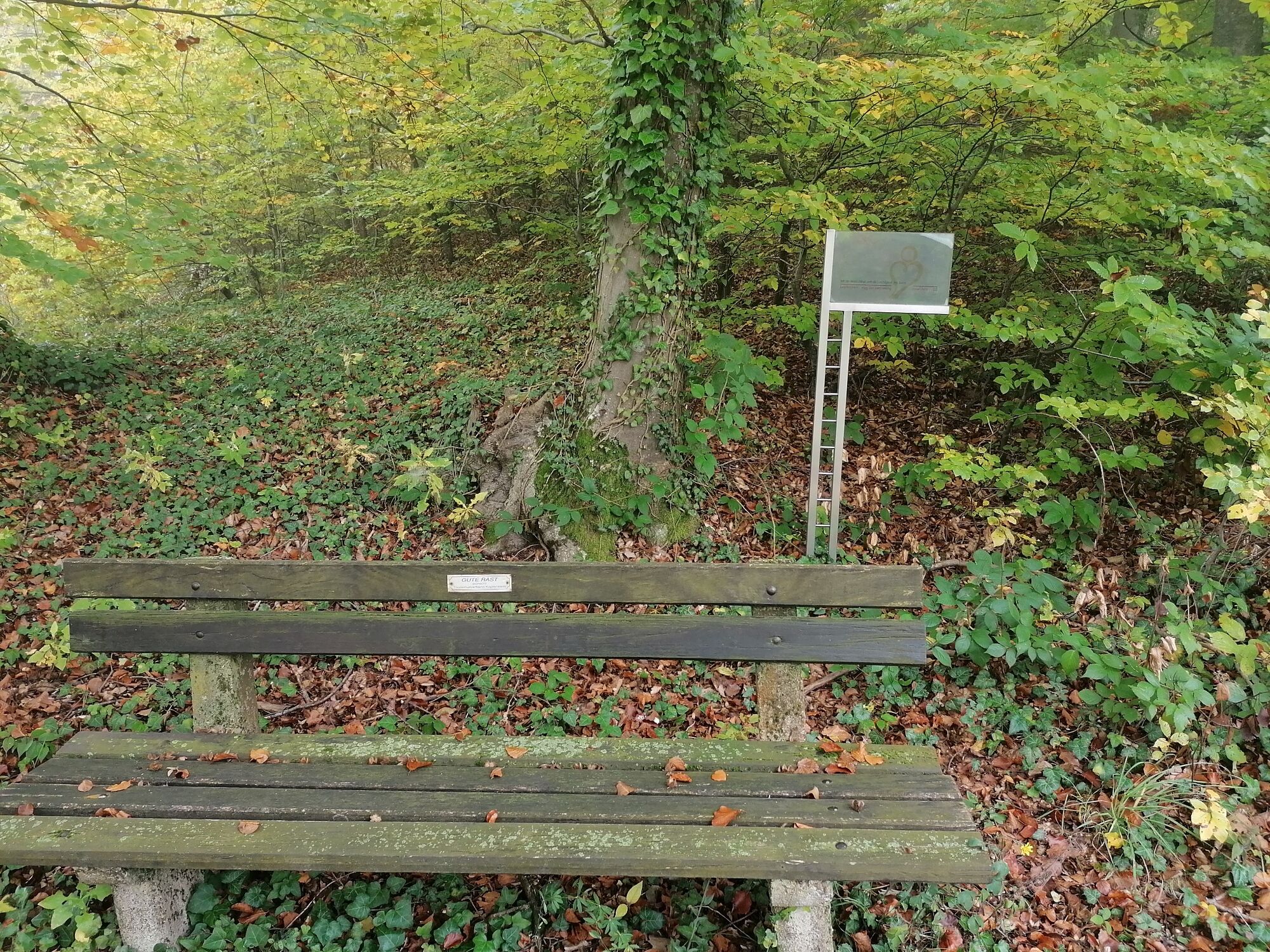
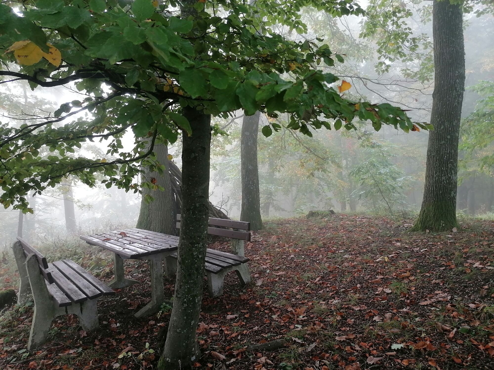
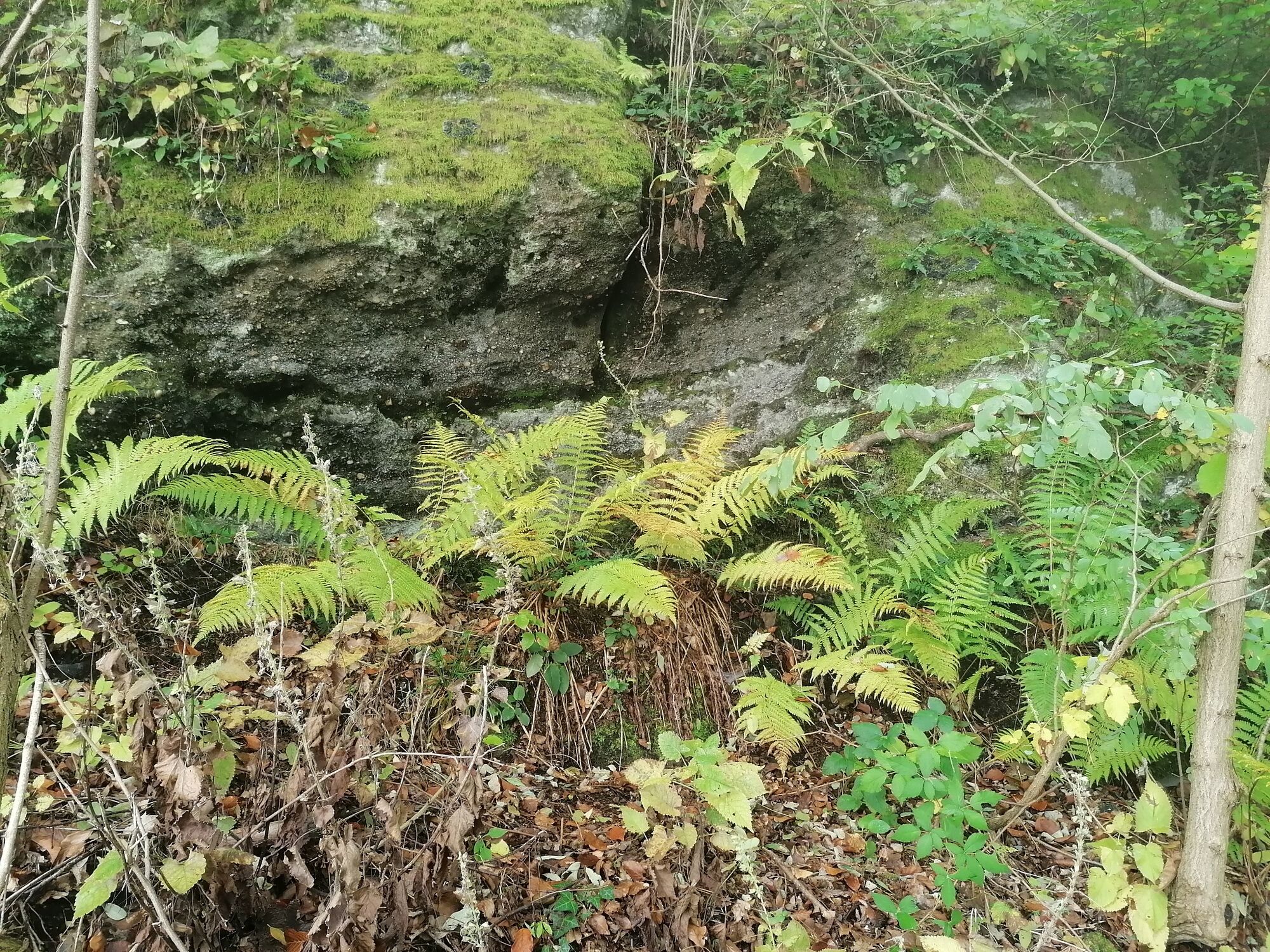
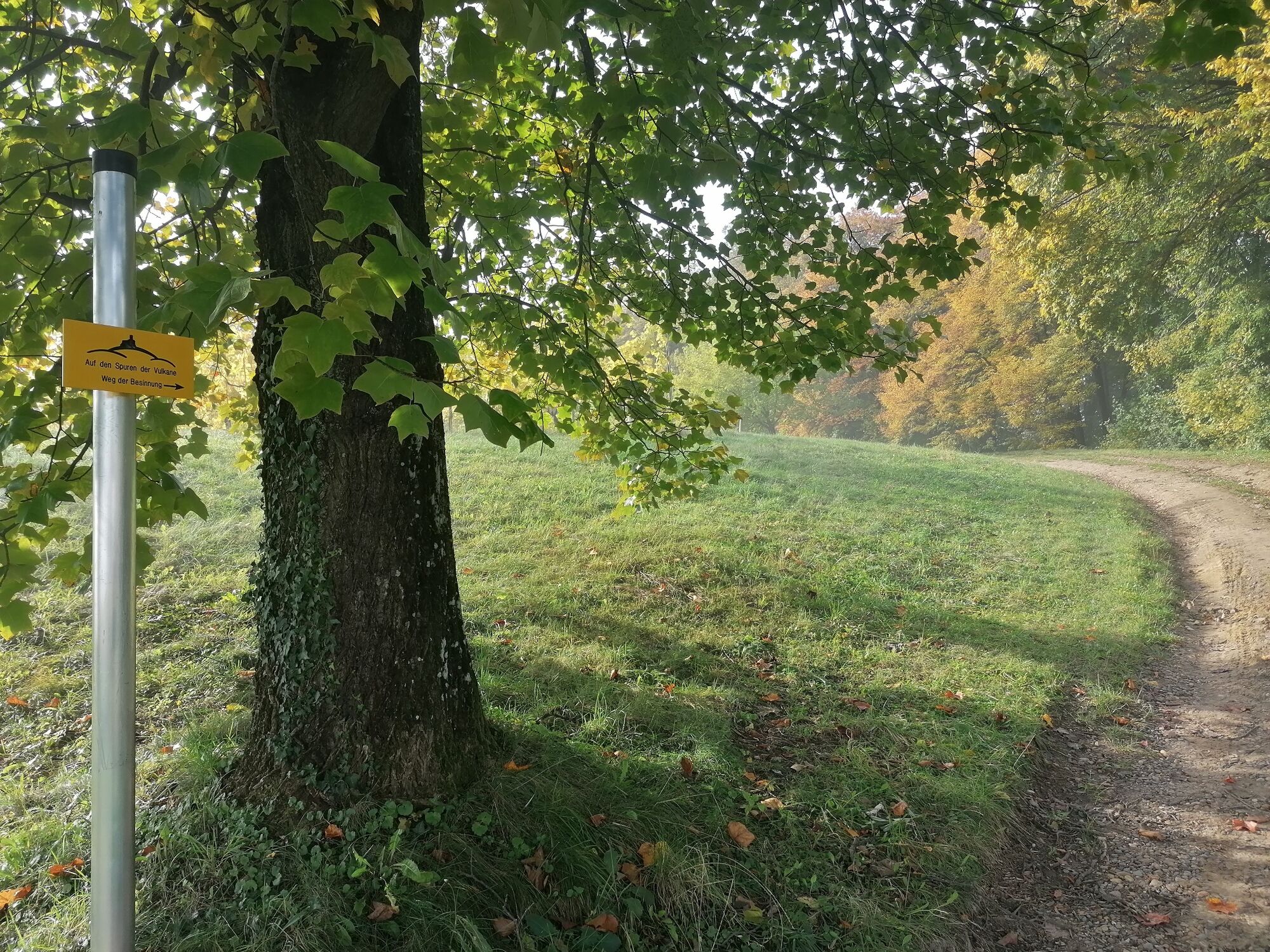
The geomantic places along the trail invite you to recharge your batteries and spend time. Let's take the time and feel the energy along the path of reflection!
- Difficulty
-
easy
- Rating
-
- Starting point
-
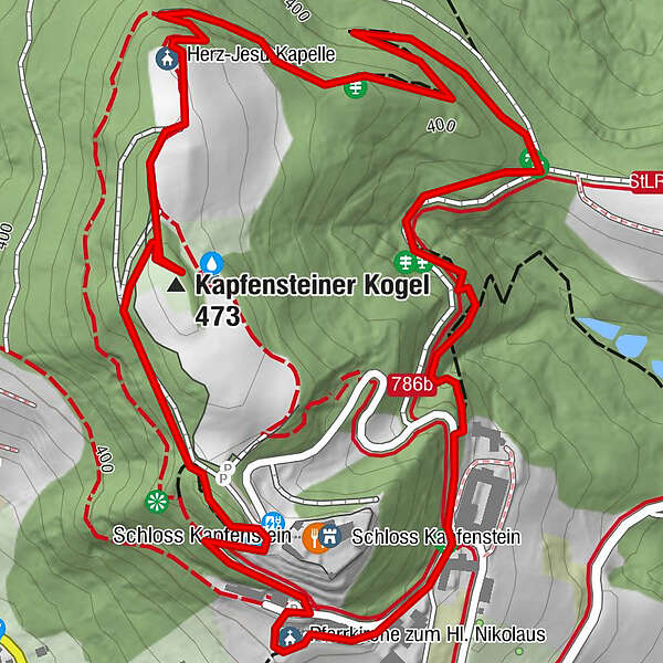
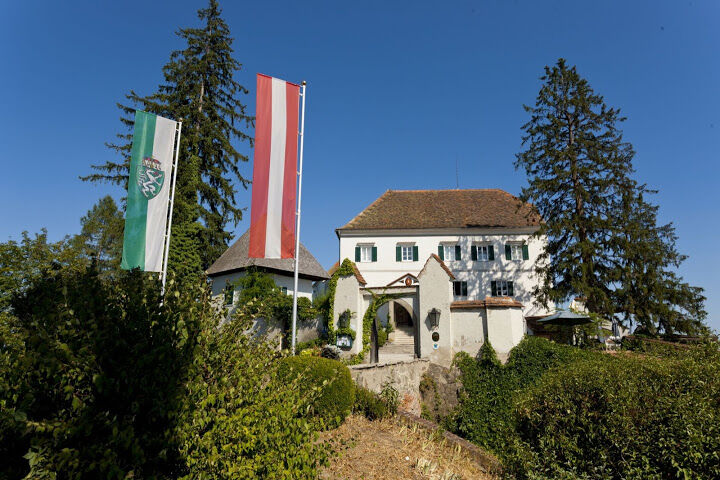
Gasthof Kapfensteinerhof
- Route
-
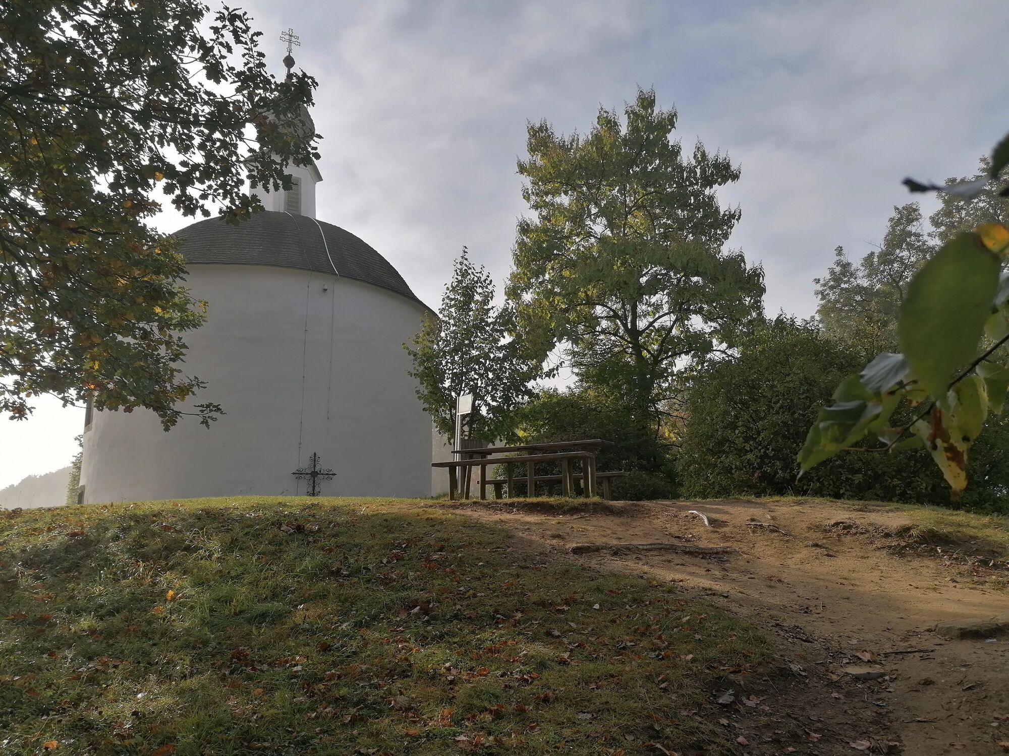
Herz-Jesu Kapelle1.3 kmKapfensteiner Kogel (473 m)1.6 kmPfarrkirche zum Hl. Nikolaus2.3 kmKapfenstein2.3 kmKapfensteinerhof2.5 km
- Best season
-
JanFebMarAprMayJunJulAugSepOctNovDec
- Description
-
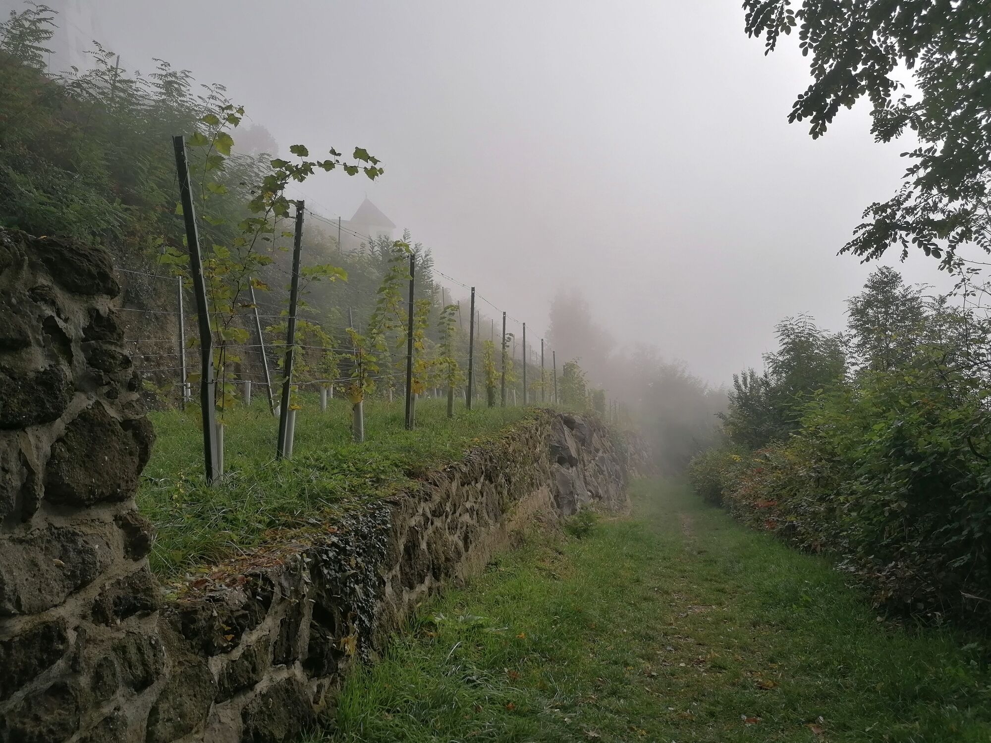
"The path of reflection leads us over the Kapfensteiner Kogel, into a wonderful landscape in the heart of the volcanic country of southeastern Styria. Selected places invite you to experience the diversity of nature and culture in their visible but also invisible qualities."
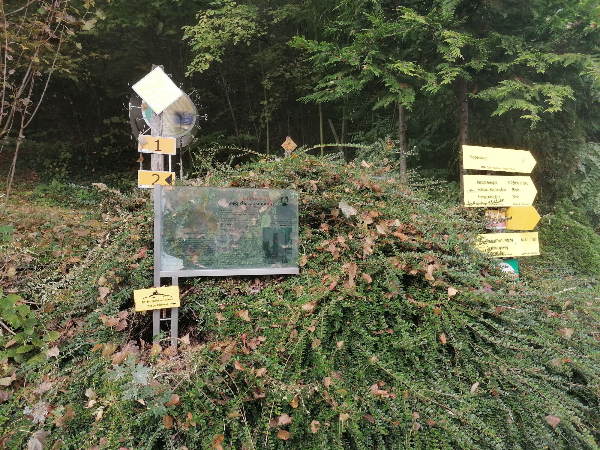
STATIONS along the way:
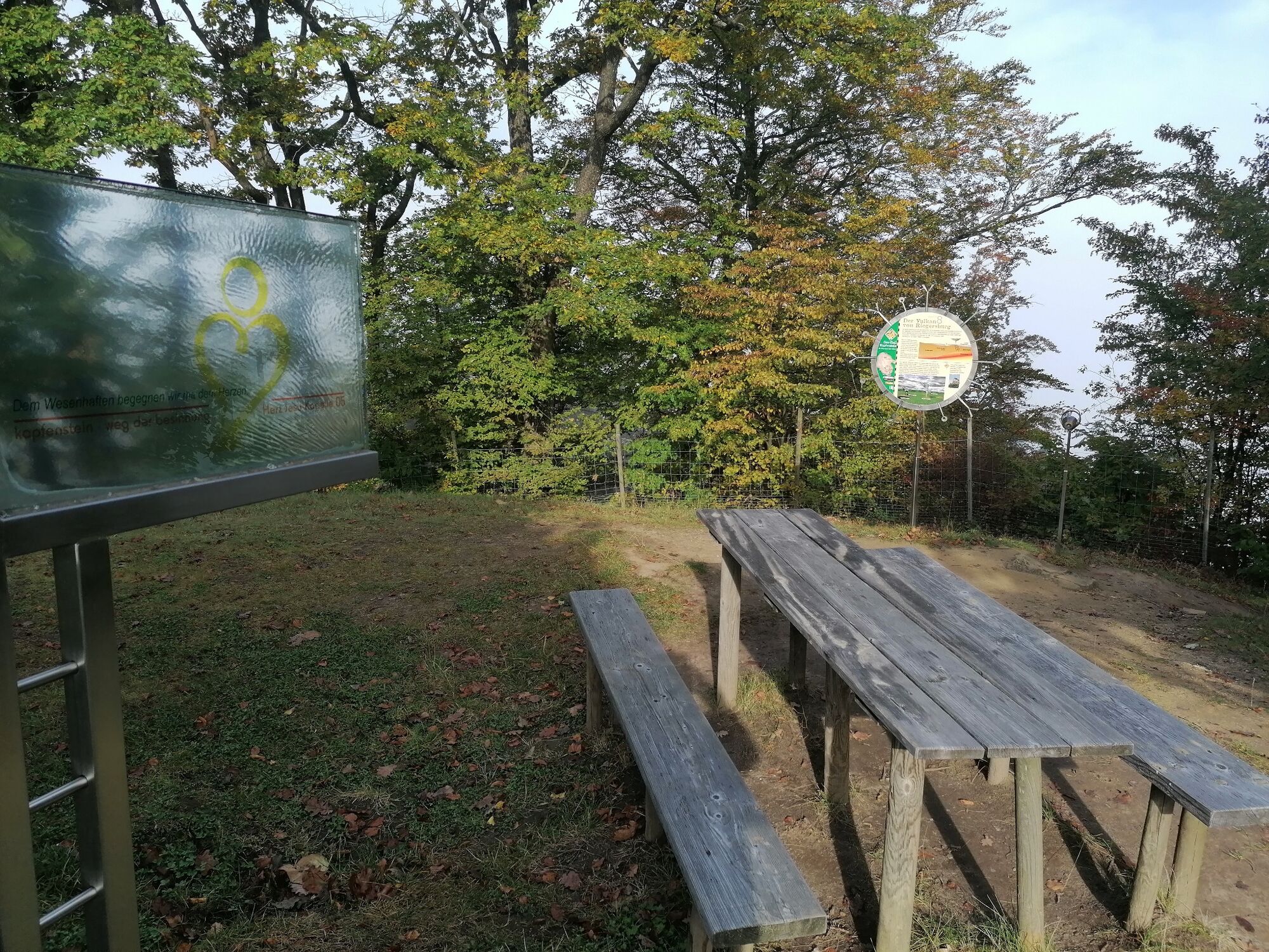
1.Hoher Stein - Flowing, the power of the earth rises and fills the space full of vitality.
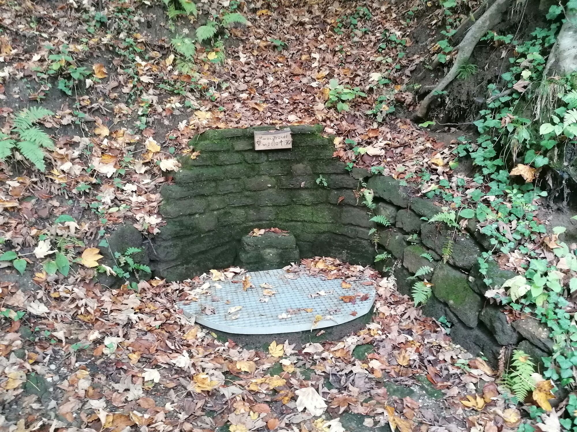
2.Marienbründl - The source leads us to the origin of life.
3.Josefsbild - With the vastness opens the lightness of being.
4.Place of Fire - The inner fire inspires the spirit.
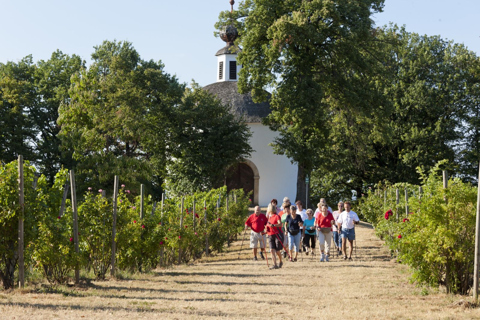
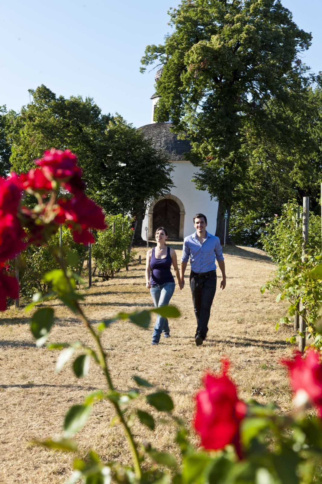
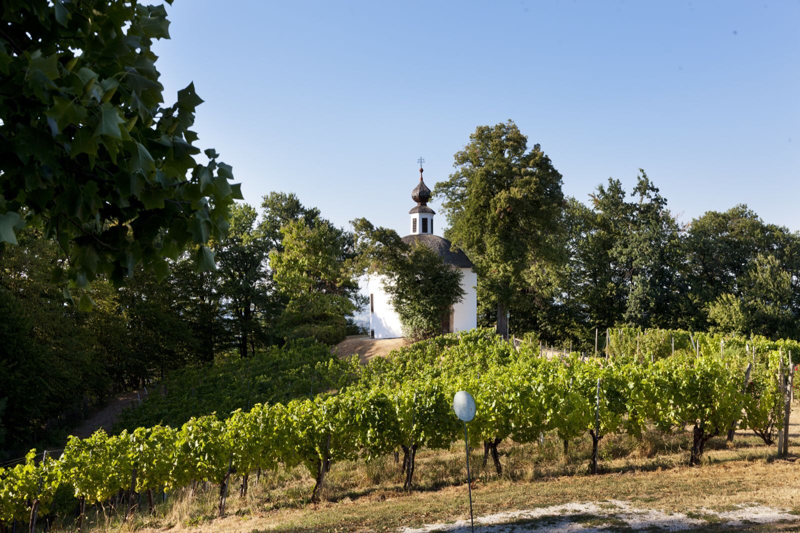
5.Sacred Heart Chapel - We encounter the essential with the heart.
6.Vital center - Everything is connected with everything.
7.Place of dance - Movement and rhythm carry life.
8.St. Nicholas Parish Church - The encounter with God is also an encounter with the landscape and with ourselves.
9.Place at the church - Communication promotes mutual understanding. - Directions
-
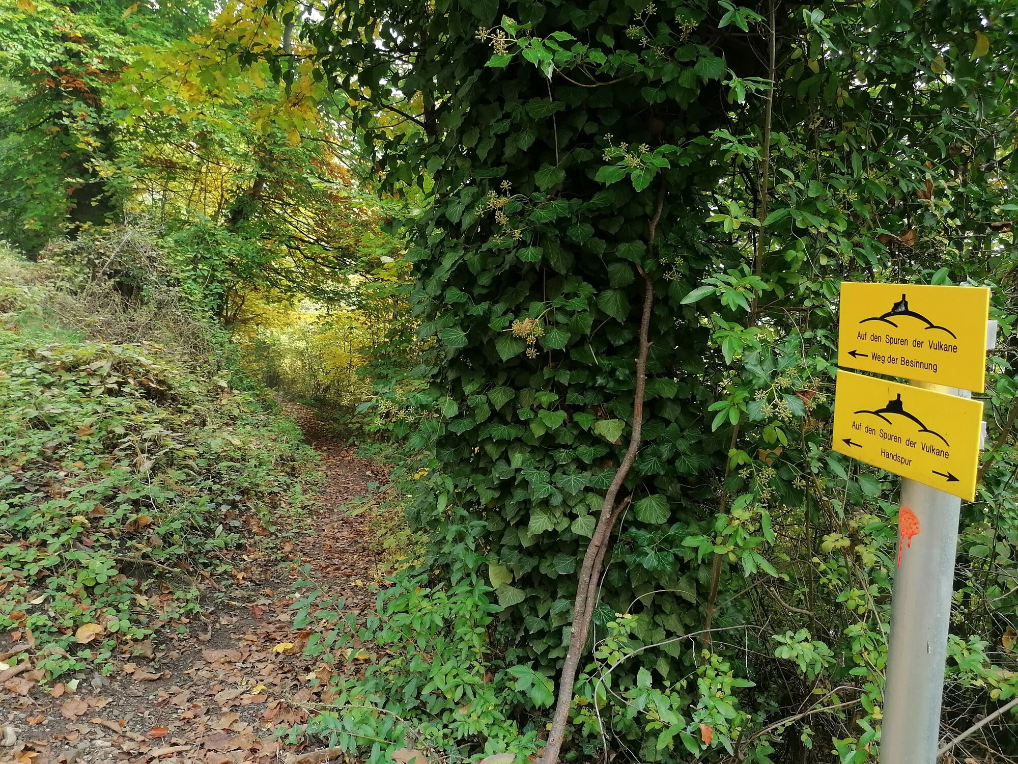
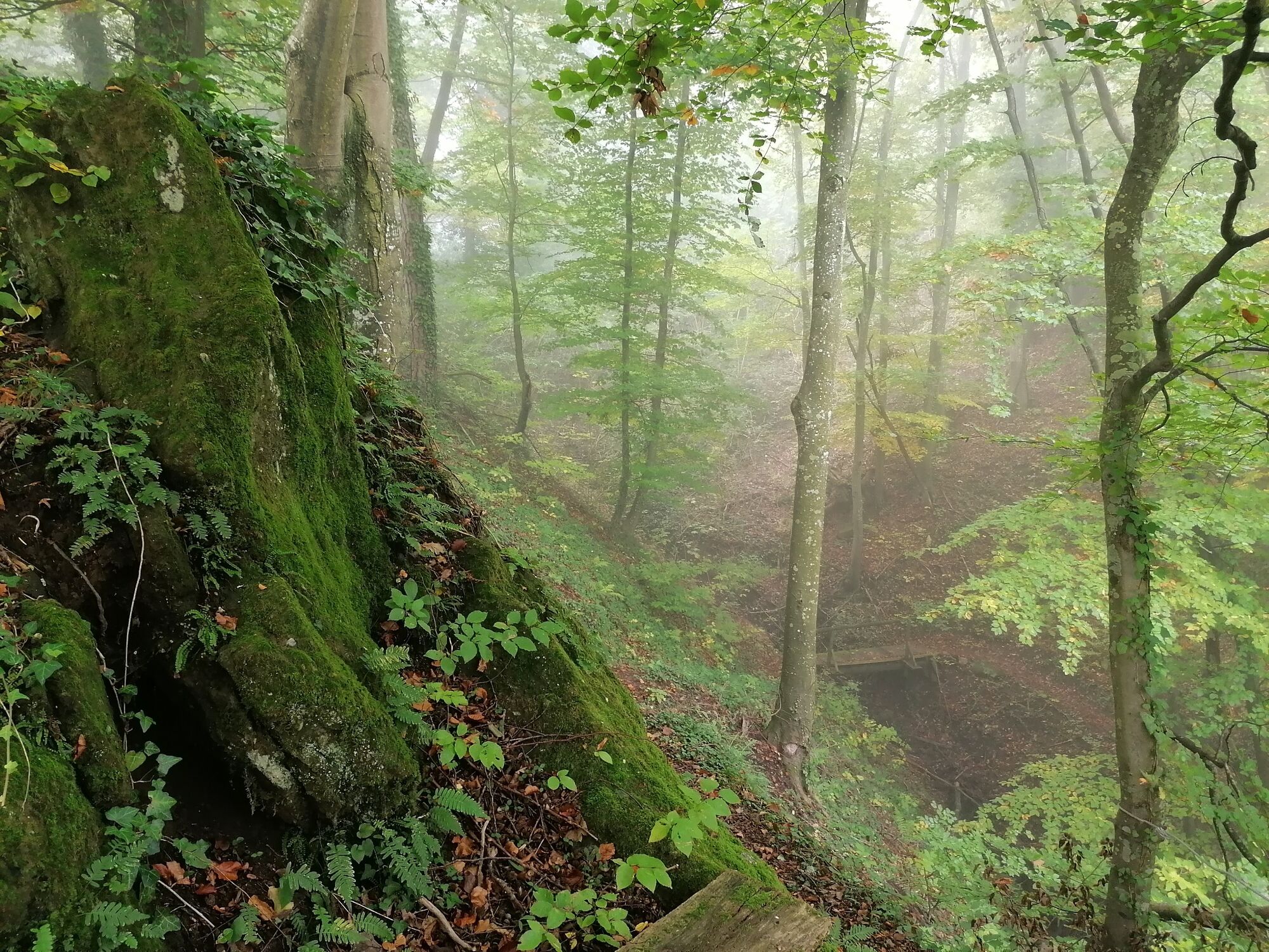
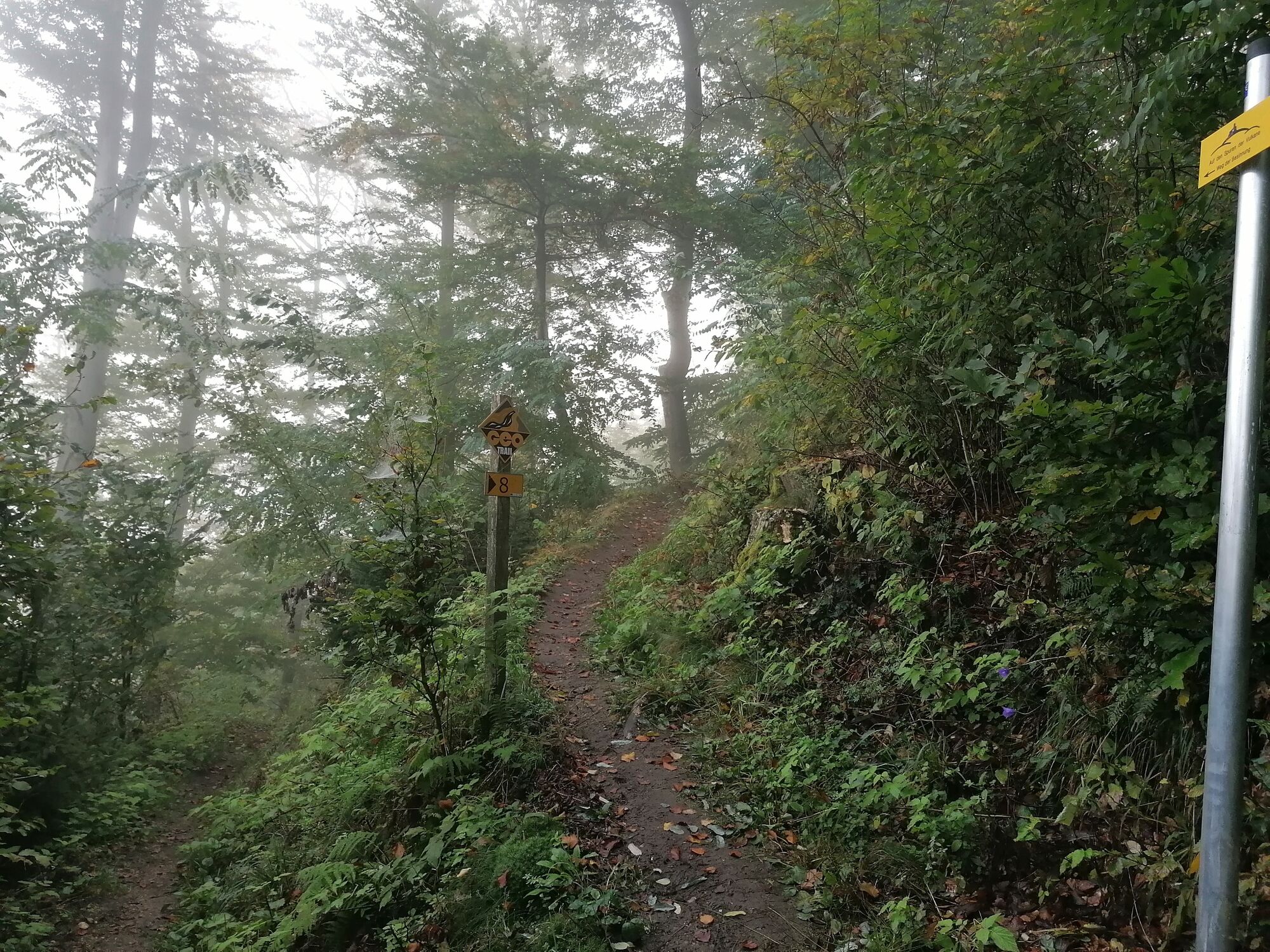
Nine geomantic places around the Kapfensteiner Kogel invite you to perceive the special qualities of energy resting places and the power of nature. Starting from the Kapfensteinerhof inn, this contemplation trail leads you on partly narrow paths through steep terrain and invites you to trace the four elements enjoy the charming atmosphere around the Herz-Jesu chapel, hike to the highest point of the Kapfensteiner Kogel and finally relax under a pear tree in front of the church.
- Highest point
- 470 m
- Endpoint
-
Gasthof Kapfensteinerhof
- Height profile
-

- Equipment
-
Proper backpack packing makes many things easier: Pack heavy things first. The water bottle should always be within reach in a side pocket. All the things that are often needed, such as sunglasses, camera or hiking map, belong on top. An emergency kit, including blister plasters, belongs in every rucksack and it is always advisable to dress in layers.
- Safety instructions
-
Emergency call mountain rescue: 140
ambulance: 144
European emergency call: 112
firefighters: 122
police: 133Tips when reporting an emergency – Answer these six WH questions: What happened? How many people are injured? Where did the accident happen (are there GPS coordinates)? Who is reporting the incident (callback number)? When did the accident happen? What is the weather like at the site of the incident?
- Tips
-
Take time to feel the geomantic places and actively perceive them!
- Additional information
- Directions
- Public transportation
-
Detailed information about arriving by ÖBB (Austrian Federal Railways) can be found at www.oebb.at or on the Verbundlinie Steiermark website www.busbahnbim.at
With Verbundlinie’s BusBahnBim route planner app, planning your journey has never been easier: simply enter towns and/or addresses, stop names or points of interest to check all bus, train and tram connections in Austria. The app is available free of charge for smartphones – on Google Play and in the App Store
- Parking


-

-
AuthorThe tour Trail of reflection (Weg der Besinnung) is used by outdooractive.com provided.


General info
-
Thermen- & Vulkanland
1324
-
Bad Gleichenberg
372
-
Kapfenstein
170