- Brief description
-
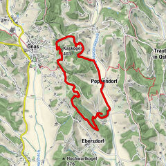
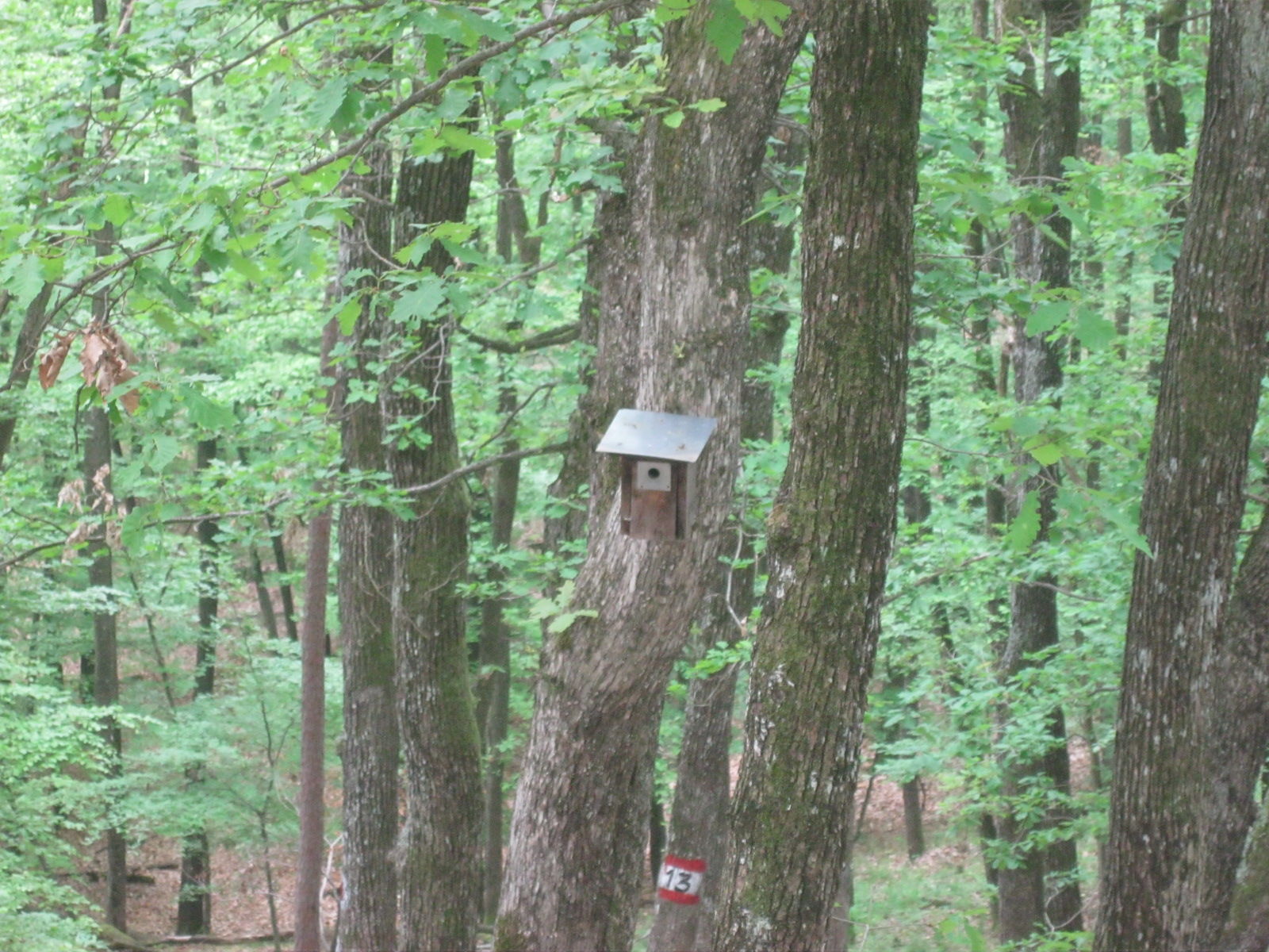
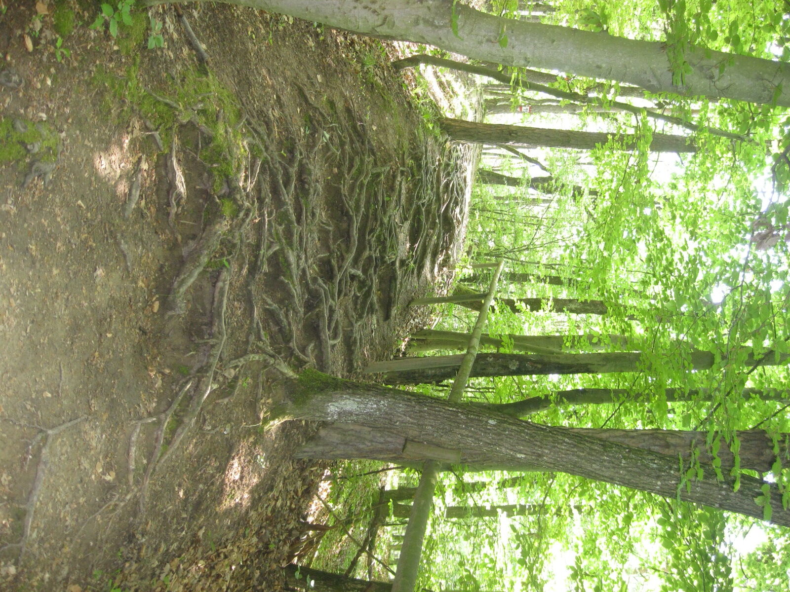
The eventful circular trail around the Gleichenberger Kogeln shows us the fascination and versatility of the mixed forest. A summit cross? Yes, there is at the Gleichenberger Kogel!
- Difficulty
-
medium
- Rating
-
- Starting point
-
Eichgrabenweg
- Route
-
Edelweißwarte1.0 kmGleichenberg Dorf4.1 kmBernreith5.5 km
- Best season
-
JanFebMarAprMayJunJulAugSepOctNovDec
- Description
-
The Gleichenberger Kogel, on which the forest adventure trail leads, is the peak of the oldest and most powerful volcano in the region. Around 16 million years ago, this volcano with a diameter of around 30 kilometers rose as an island from a sea. Today, most of the volcano is buried under thick layers of gravel.
Until the beginning of the 20th century, the millstone quarry at Gleichenberger Kogel was a quarrying area for millstones for fruit and grain mills, but also for countersinks and building stones. The stone blanks were worked out by hand, block by block. The transport of the heavy stone slabs over steep wooden chutes and with ox or horse-drawn carts was often difficult and dangerous.
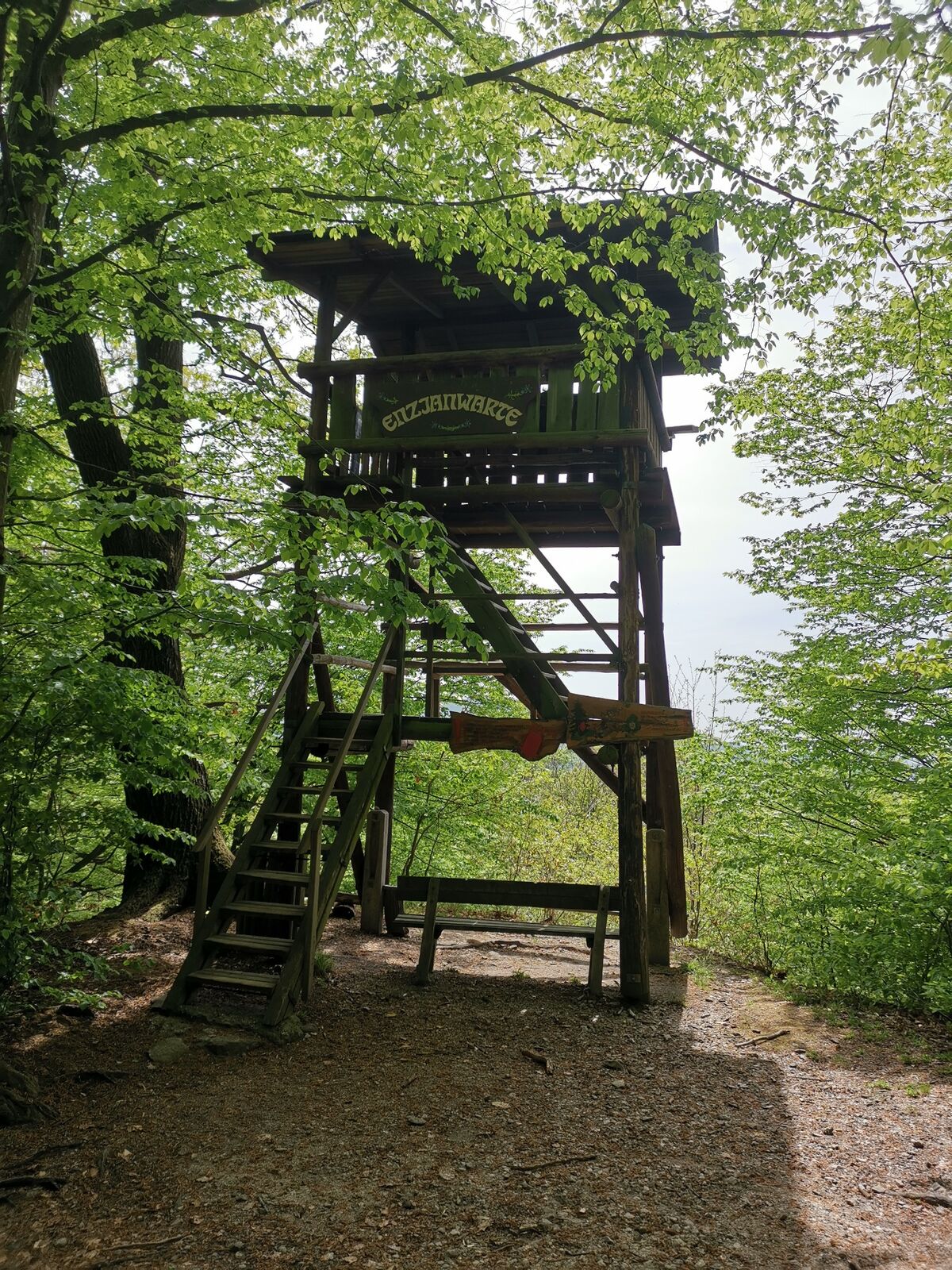
The Enzian hut on the forest adventure trail once served as a forge where the tools were sharpened. It was renovated by the "Bergkameraden vom Enzian" and is now a popular picnic spot. (Hut not managed).
- Directions
-
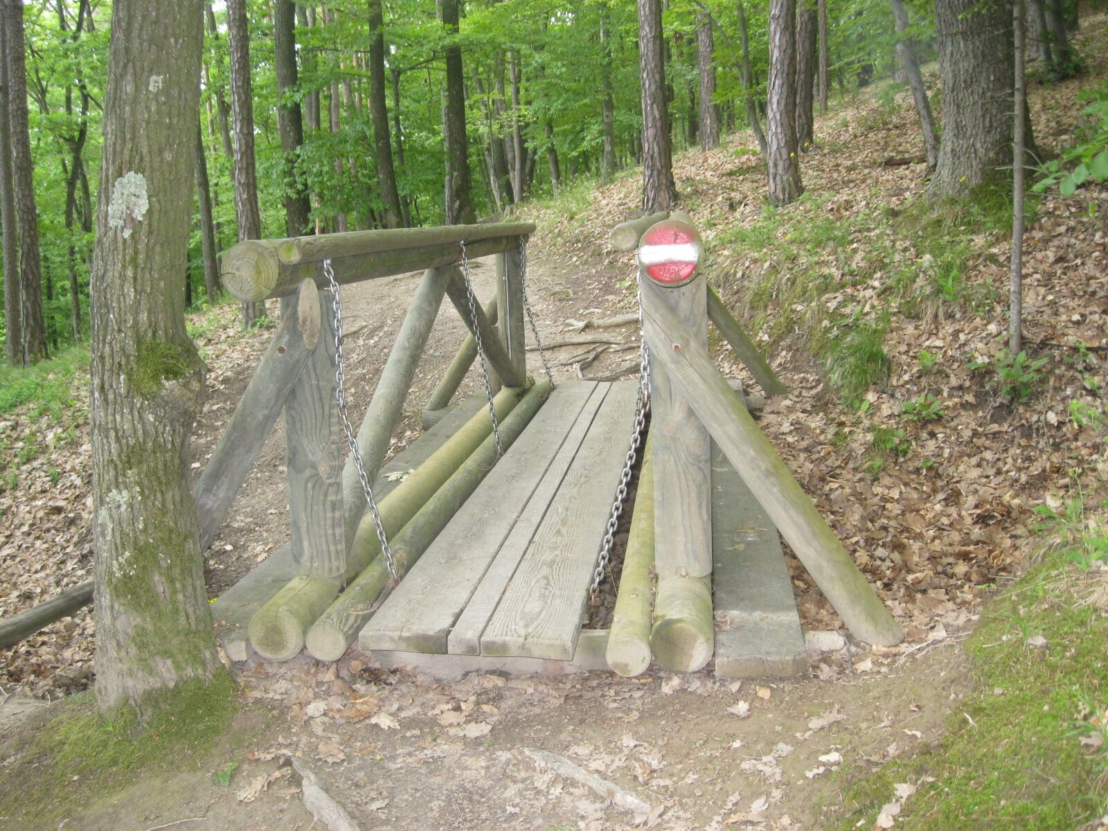
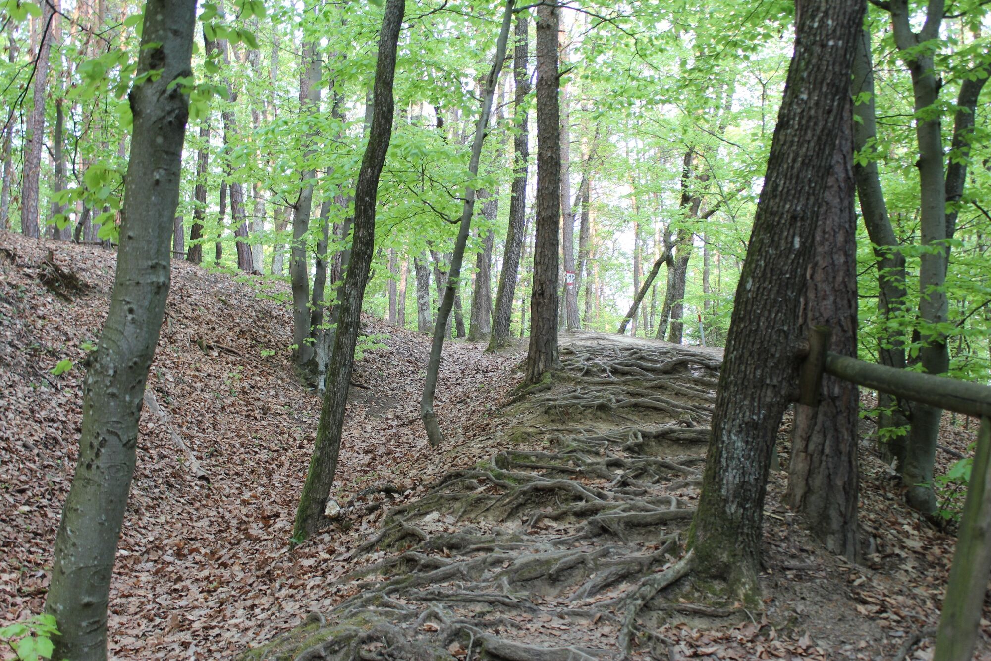
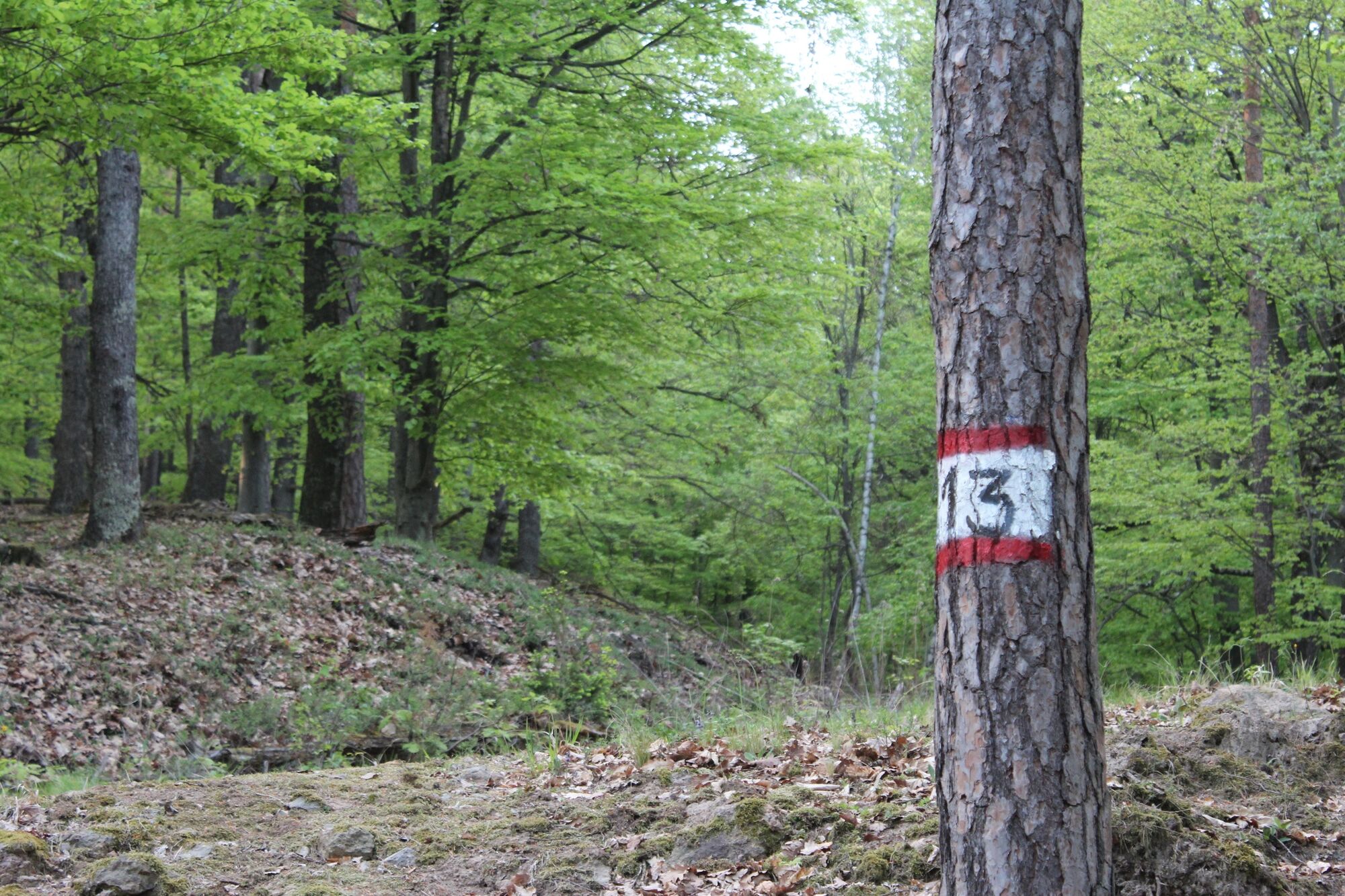
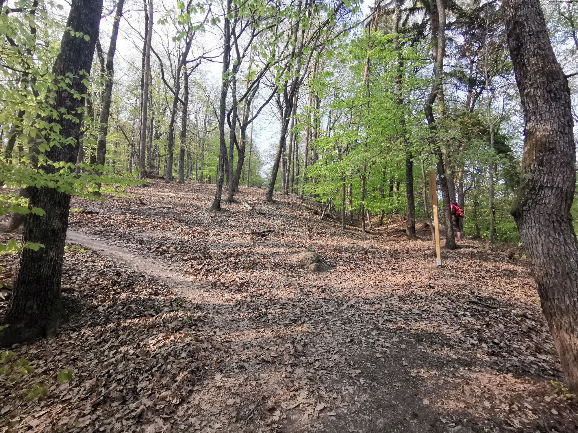
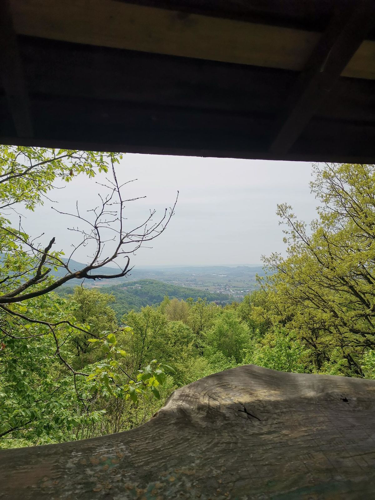
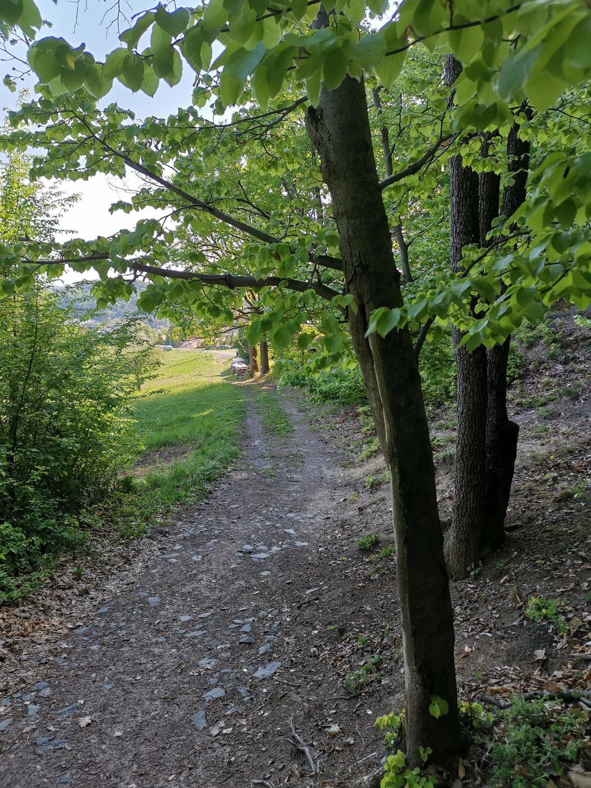
Our starting point for the hike is the Bad Gleichenberg tourist office. After a few minutes we reach the entrance to the forest adventure trail, to the "Eichgraben": The path leads over the Celtic tree circle to the millstone quarry, a romantic place that is often used as a resting place. Continue via the shelter hut to the summit of the Gleichenberger Kogel (598 m) which also has a summit cross, probably a rarity in Thermenland Steiemark. Enjoy the shady hike through the mixed forest of the Gleichenberger Kogel and hike towards Gleichenberg village and via the donkey trail back to the starting point.
- Highest point
- 501 m
- Endpoint
-
Eichgrabenweg
- Height profile
-

- Equipment
-
Proper backpack packing makes many things easier: Pack heavy things first. The water bottle should always be within reach in a side pocket. All the things that are often needed, such as sunglasses, camera or hiking map, belong on top. An emergency kit, including blister plasters, belongs in every rucksack and it is always advisable to dress in layers.
- Safety instructions
-
Emergency call mountain rescue: 140
ambulance: 144
European emergency call: 112
firefighters: 122
police: 133Tips when reporting an emergency – Answer these six WH questions: What happened? How many people are injured? Where did the accident happen (are there GPS coordinates)? Who is reporting the incident (callback number)? When did the accident happen? What is the weather like at the site of the incident?
- Tips
-
Take a short detour and sign the summit book at Gleichenberger Kogel!
- Additional information
- Directions
- Public transportation
-
Detailed information about arriving by ÖBB (Austrian Federal Railways) can be found at www.oebb.at or on the Verbundlinie Steiermark website www.busbahnbim.at
With Verbundlinie’s BusBahnBim route planner app, planning your journey has never been easier: simply enter towns and/or addresses, stop names or points of interest to check all bus, train and tram connections in Austria. The app is available free of charge for smartphones – on Google Play and in the App Store
- Parking


- Author
-
The tour Kogel circular trail (Kogelrundweg) is used by outdooractive.com provided.


General info
-
Oststeiermark
2125
-
Bad Gleichenberg
372
-
Bad Gleichenberg
154


 Pauritsch_Tourismus Saßtal")