- Brief description
-
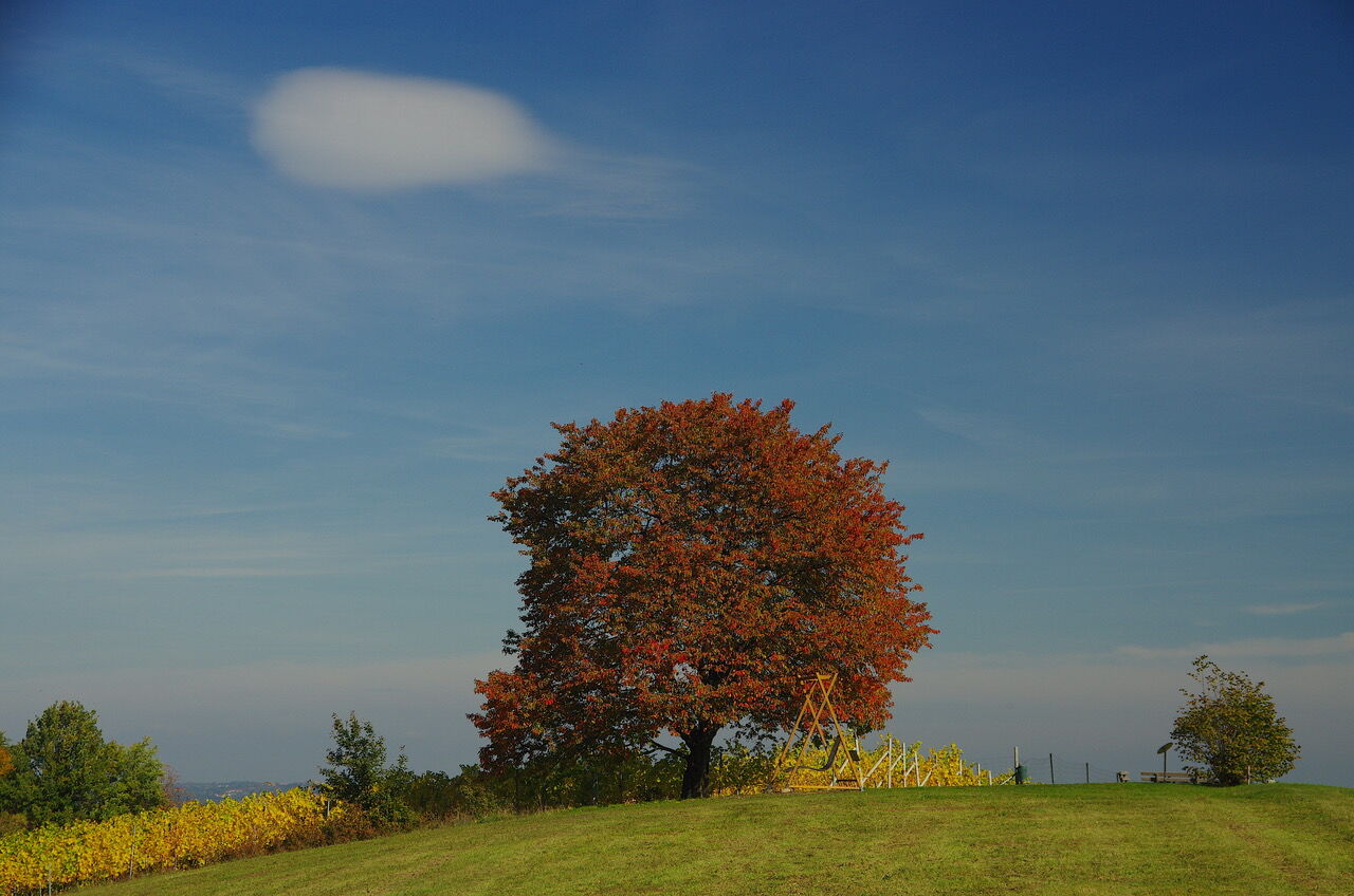
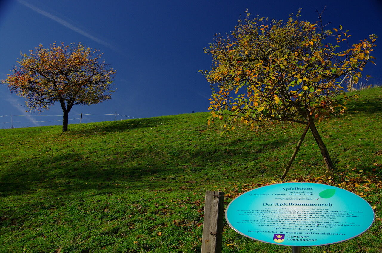
One of the most popular themed trails around the spa. Meet your birthday tree on 2.6 km and get to know your positive and negative characteristics.
- Difficulty
-
easy
- Rating
-
- Starting point
-
Spa Loipersdorf
- Route
-
Begehbare Weinflasche mit Weinglas0.6 km
- Best season
-
JanFebMarAprMayJunJulAugSepOctNovDec
- Description
-
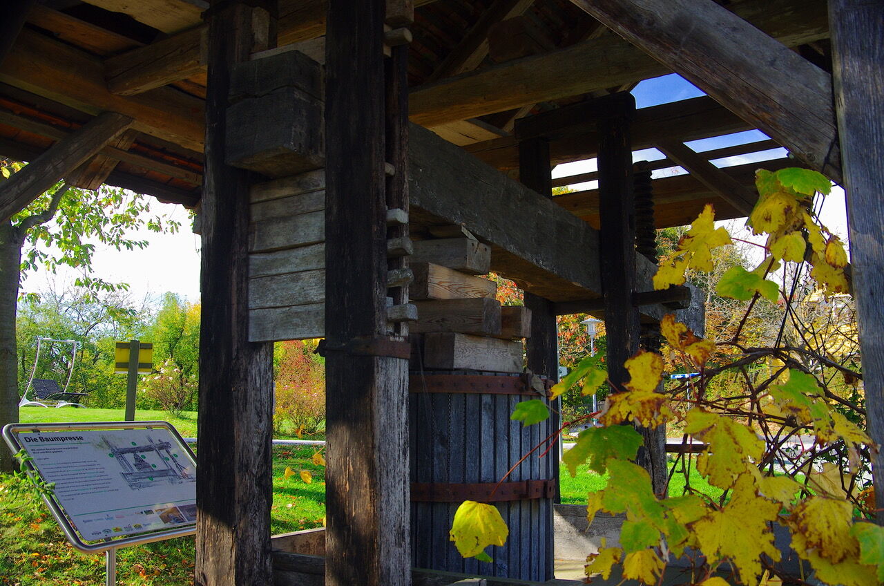
This path is peppered with many special features. In addition to the 22 described "birthday trees", where everyone can read their good and bad characteristics in black and white, there are virtually additional picnic areas and floating loungers along the way, a swinging birch bench, an old tree press and stations of the motor skills trail. But even scenically this path offers a lot. You walk past vineyards to the highest point of the community with a far-reaching view to Hungary and in the evenings you often have fantastic sunsets, which you can enjoy in a floating lounger. At the end of the path you can enjoy typical Styrian delicacies at the Thermenheurige Kropf or Riegler's Buschenschank. On the way back to the starting point you have the most beautiful view of the spa area.
- Directions
-
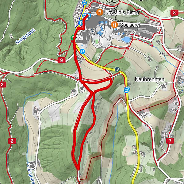
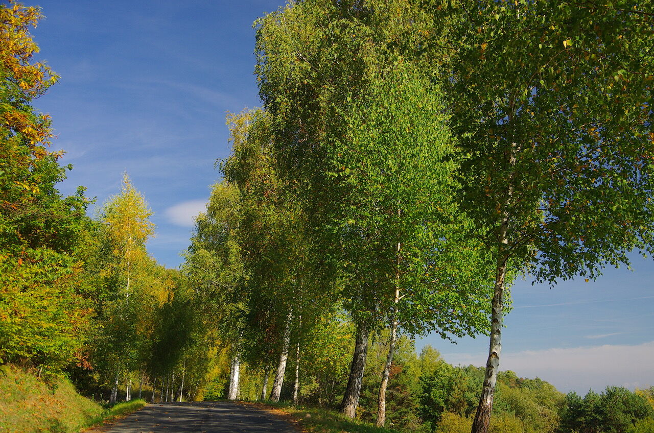
Start at the entrance to the spa in the direction of Hotel Stoiser. It goes up to the Lautenberg, direction Herberge/Birkenhof and turns right at the birch trees between the vineyards on the dirt road. After a short stretch of forest you meet an asphalt road, turn left here. After about 500 m you will again come to the group of birch trees. Here you turn right and make a short loop before you come to the end of the path. At the asphalt road turn right back to the starting point at the entrance to the spa. Approximately half of the trail is asphalt road, the rest is meadow and forest road.
- Highest point
- 374 m
- Endpoint
-
Spa Loipersdorf
- Height profile
-

- Equipment
-
Proper backpack packing makes many things easier: Pack heavy things first. The water bottle should always be within reach in a side pocket. All the things that are often needed, such as sunglasses, camera or hiking map, belong on top. An emergency kit, including blister plasters, belongs in every rucksack and it is always advisable to dress in layers.
- Safety instructions
-
Emergency call mountain rescue: 140
ambulance: 144
European emergency call: 112
firefighters: 122
police: 133Tips when reporting an emergency – Answer these six WH questions: What happened? How many people are injured? Where did the accident happen (are there GPS coordinates)? Who is reporting the incident (callback number)? When did the accident happen? What is the weather like at the site of the incident?
- Tips
-
The many special features along the way invite you to walk it several times.
- Additional information
- Directions
-
FROM VIENNA & LOWER AUSTRIA
By car: South freeway (A2) to exit Ilz/Fürstenfeld. From here via Fürstenfeld bypass to Bad Loipersdorf.
FROM GRAZBy car: on the A2 motorway in the direction of Vienna as far as the Ilz/Fürstenfeld exit. From here via Fürstenfeld bypass to Bad Loipersdorf.
FROM WESTERN AUSTRIA AND BAVARIA
By car: via Salzburg on the Phyrn freeway (A9) and the Süd freeway (A2) or via Carinthia on the Süd freeway (A2) to the Ilz/Fürstenfeld exit. From here via Fürstenfeld bypass to Bad Loipersdorf.
FROM ITALY OR SLOVENIA
By car: via Villach on the southern freeway (A2) to the Ilz - Fürstenfeld - Bad Loipersdorf exit or via Maribor on the Phyrn freeway (A9) and the southern freeway (A2) in the direction of Vienna to the Ilz/Fürstenfeld exit. From here via Fürstenfeld bypass to Bad Loipersdorf.
- Public transportation
-
Detailed information about arriving by ÖBB (Austrian Federal Railways) can be found at www.oebb.at or on the Verbundlinie Steiermark website www.busbahnbim.at
With Verbundlinie’s BusBahnBim route planner app, planning your journey has never been easier: simply enter towns and/or addresses, stop names or points of interest to check all bus, train and tram connections in Austria. The app is available free of charge for smartphones – on Google Play and in the App Store
- Parking

-

-
AuthorThe tour Tree circle path (Baumkreisweg) is used by outdooractive.com provided.


General info
-
Thermen- & Vulkanland
1324
-
Loipersdorf bei Fürstenfeld
463
-
Loipersdorf
113