- Brief description
-
An ideal themed and adventure circular hiking trail for the whole family in the Joglland - Waldheimat region, with many adventure stations that invite us to join in.
- Difficulty
-
easy
- Rating
-
- Starting point
-
Start pavilion Waisenegg (part of the municipality of Birkfeld)
- Route
-
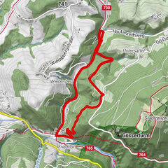
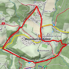
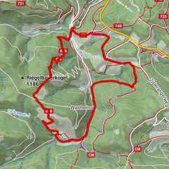
WaiseneggGallbrunner6.4 kmWaisenegg7.9 km
- Best season
-
JanFebMarAprMayJunJulAugSepOctNovDec
- Description
-
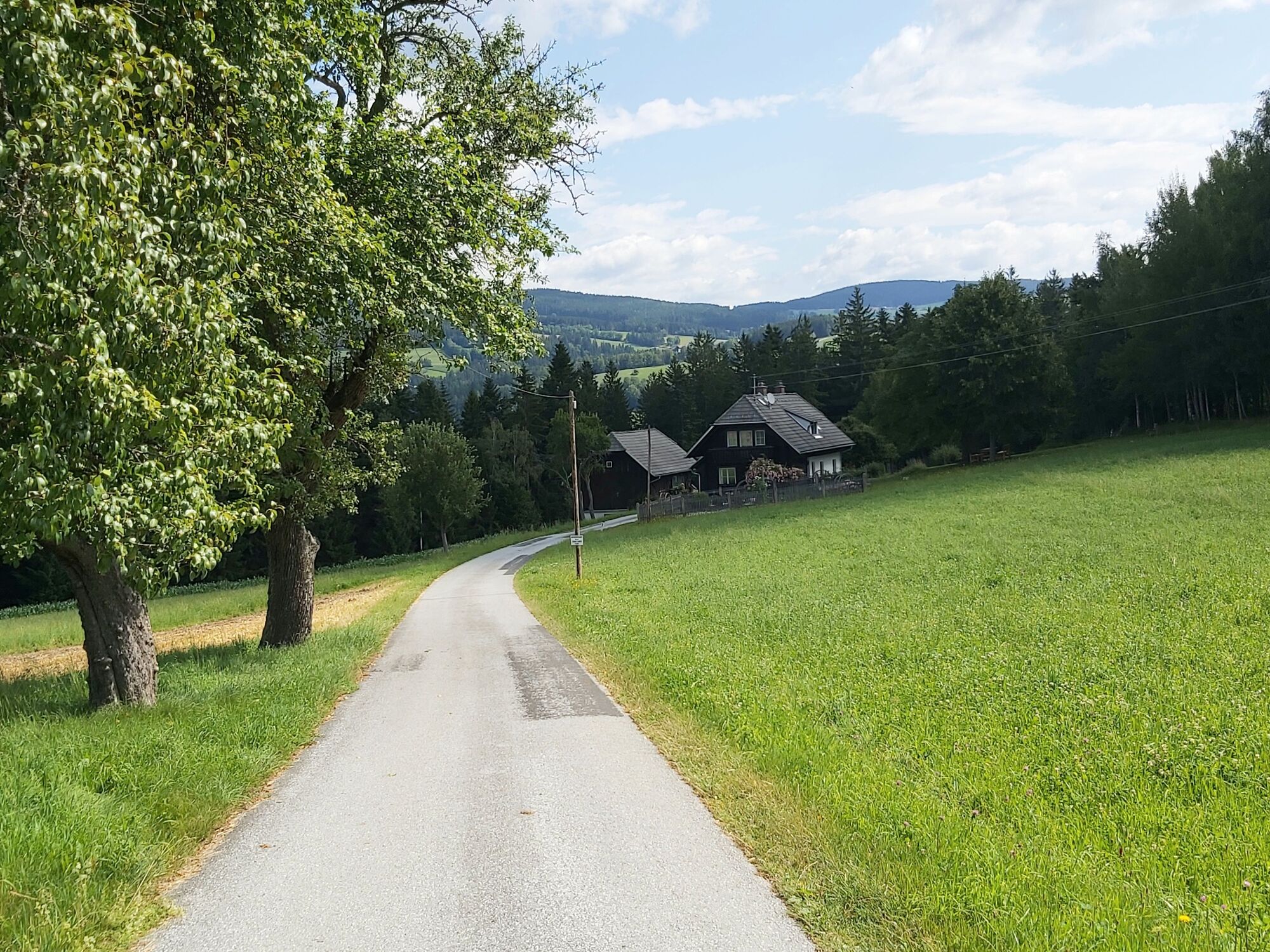
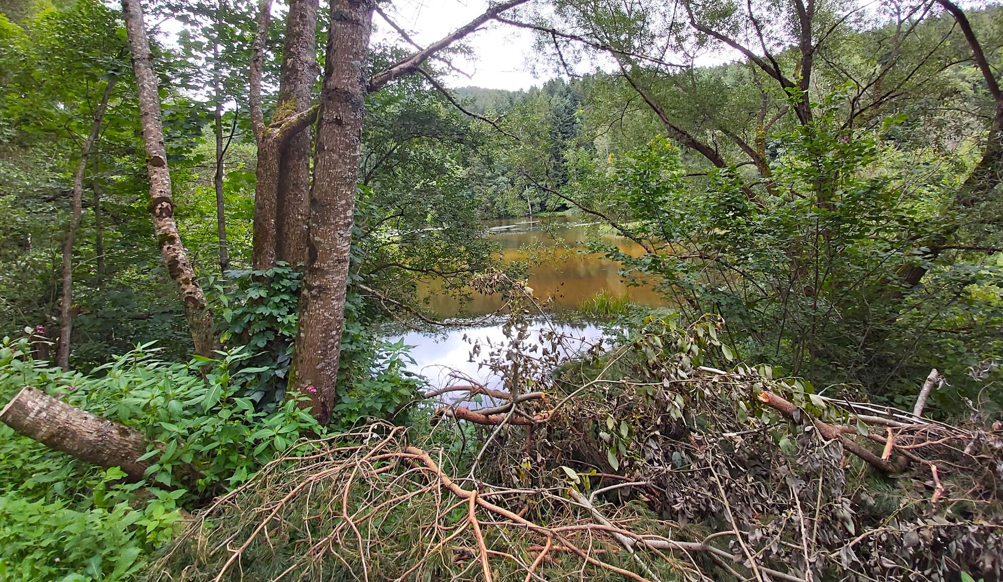
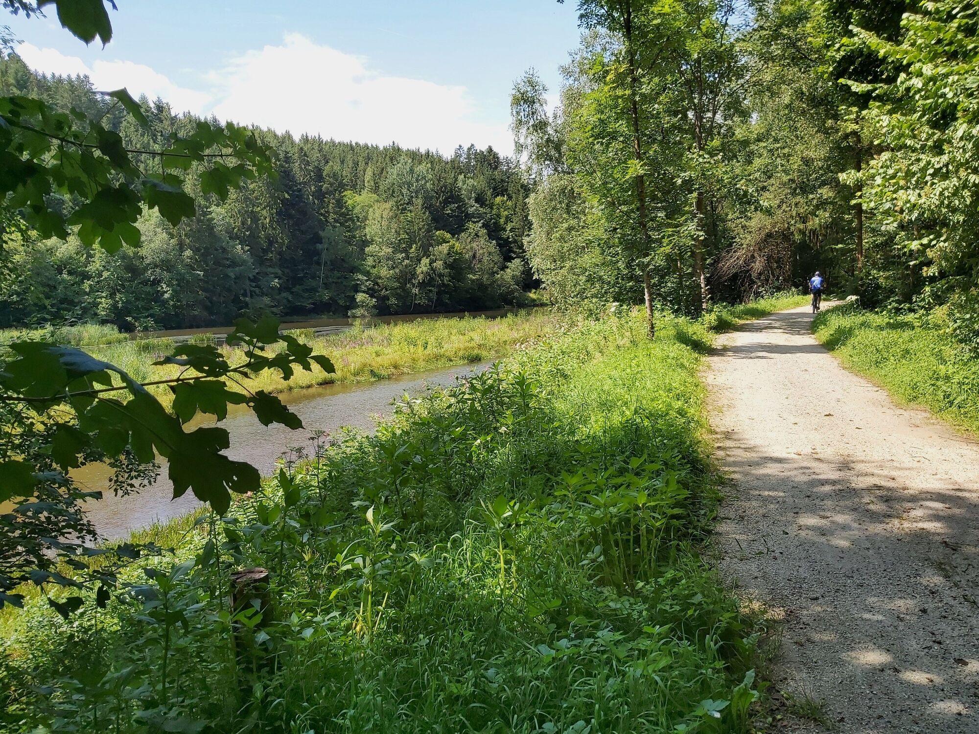
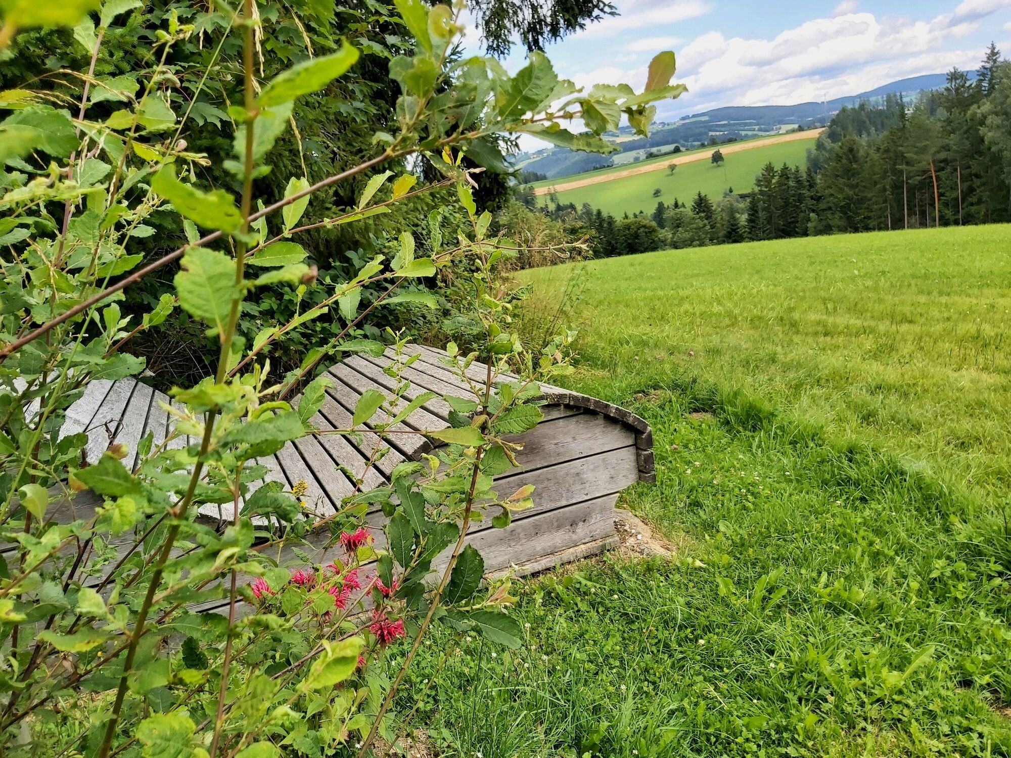
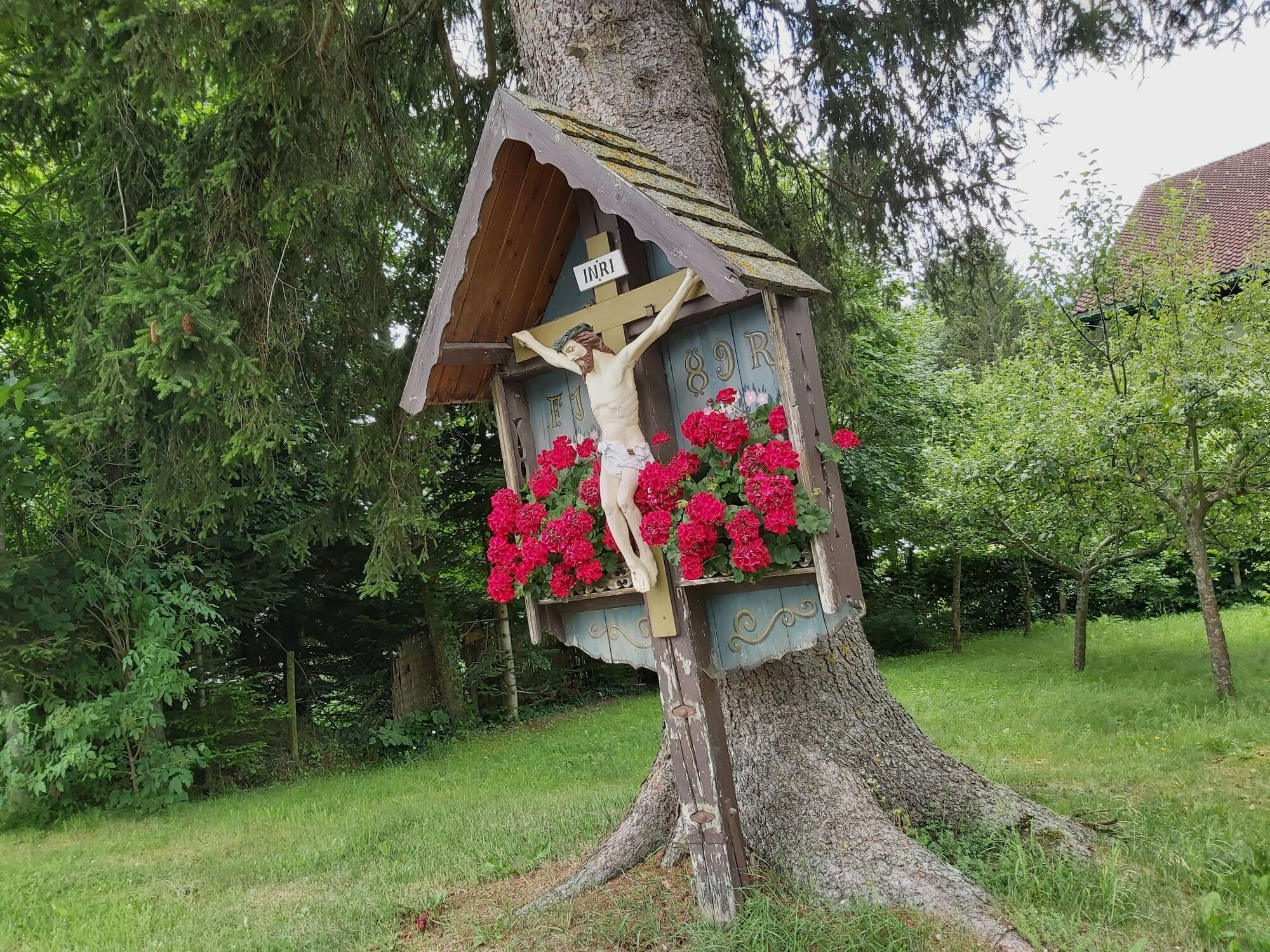
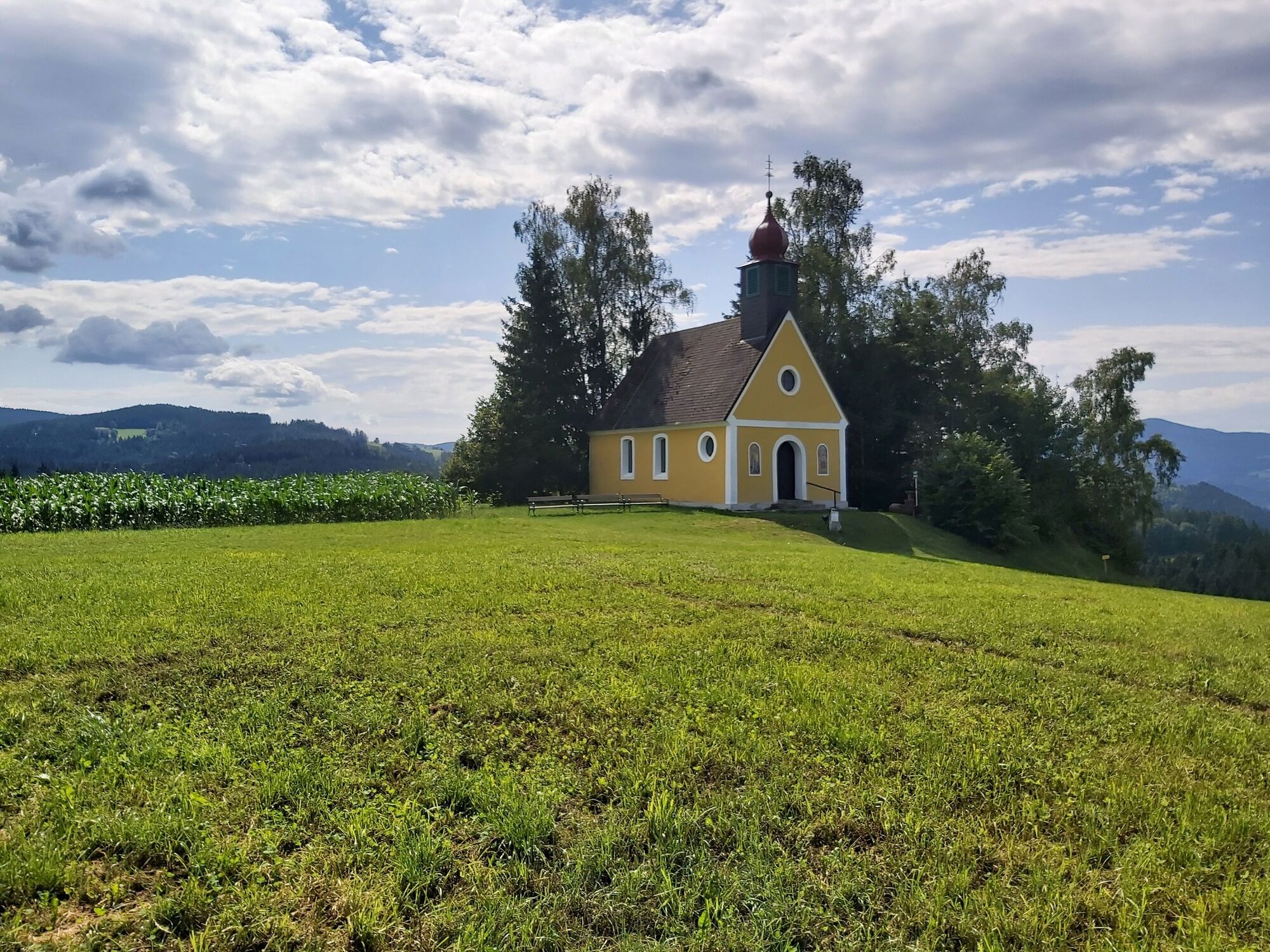
The path of the labyrinths in the municipality of Birkfeld (Waisenegg district) invites children to enjoy the fun through the labyrinths and us adults to unwind and slow down. The trail leads us from the center of Waisenegg downhill to the Feistritz river, on the bike path past the Jausenstation-Seehütte, further in the direction of Birkfeld, over forest and meadow paths uphill to the Gallbrunner inn and along the municipal road back to the starting point.
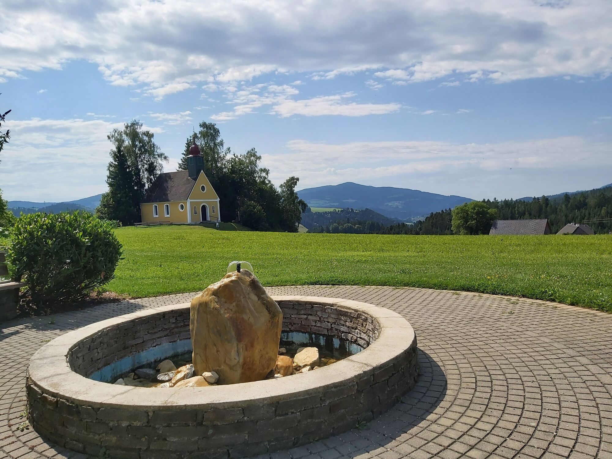
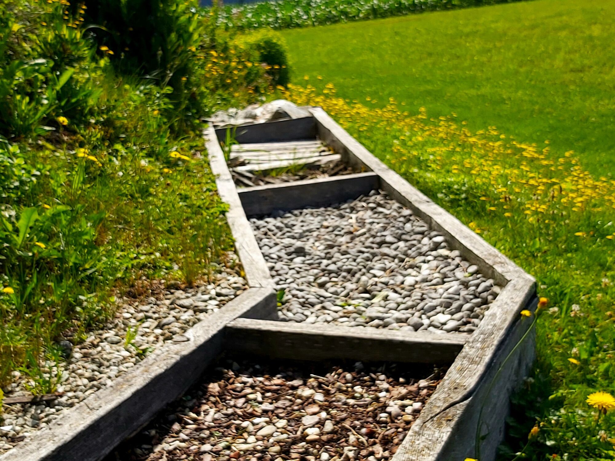
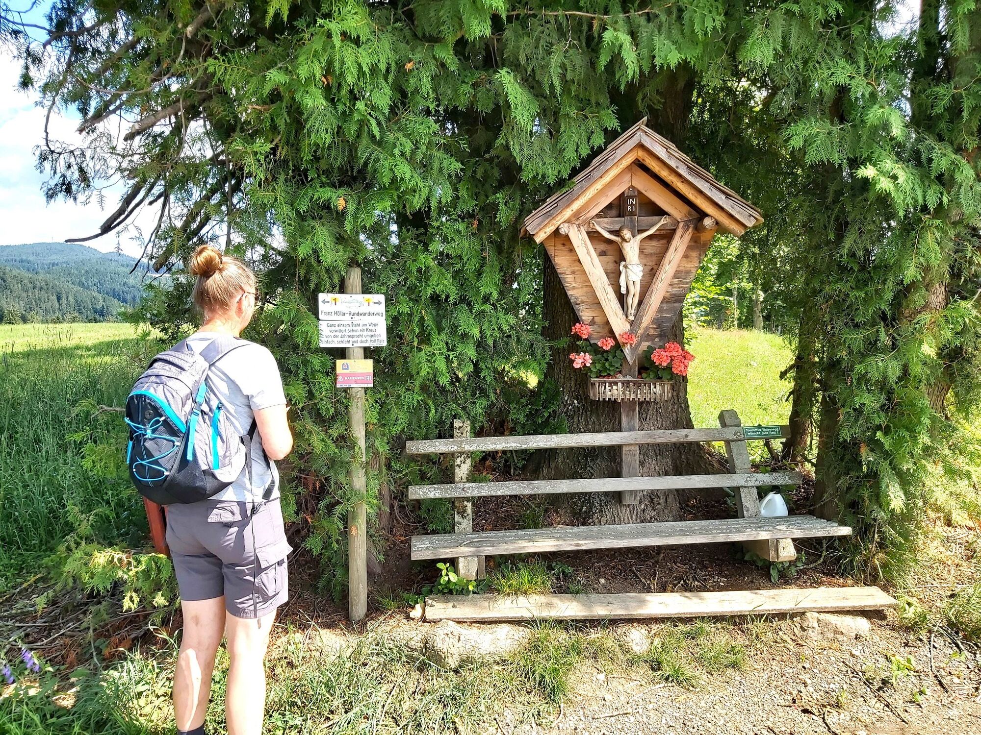
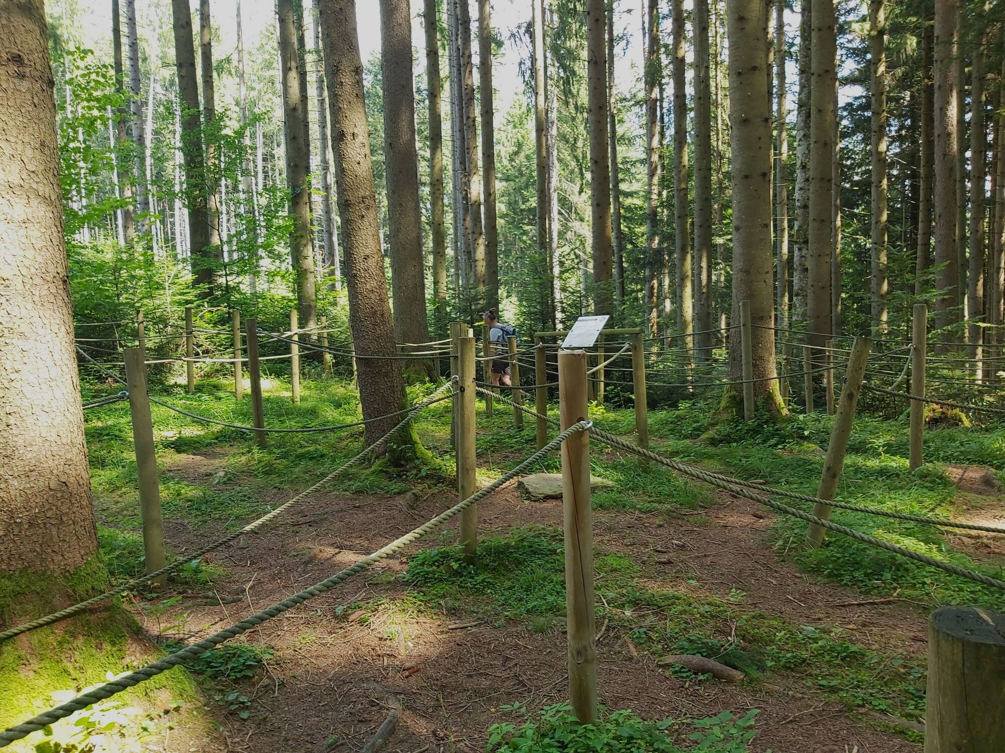
A barefoot trail and six different labyrinths provide variety and entertainment. Text panels invite us to inner contemplation.
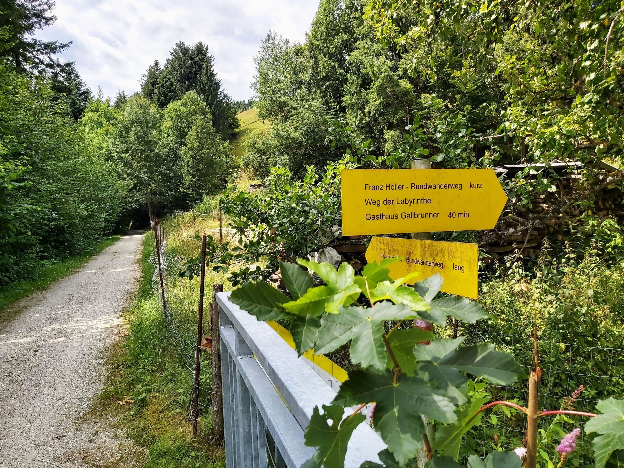
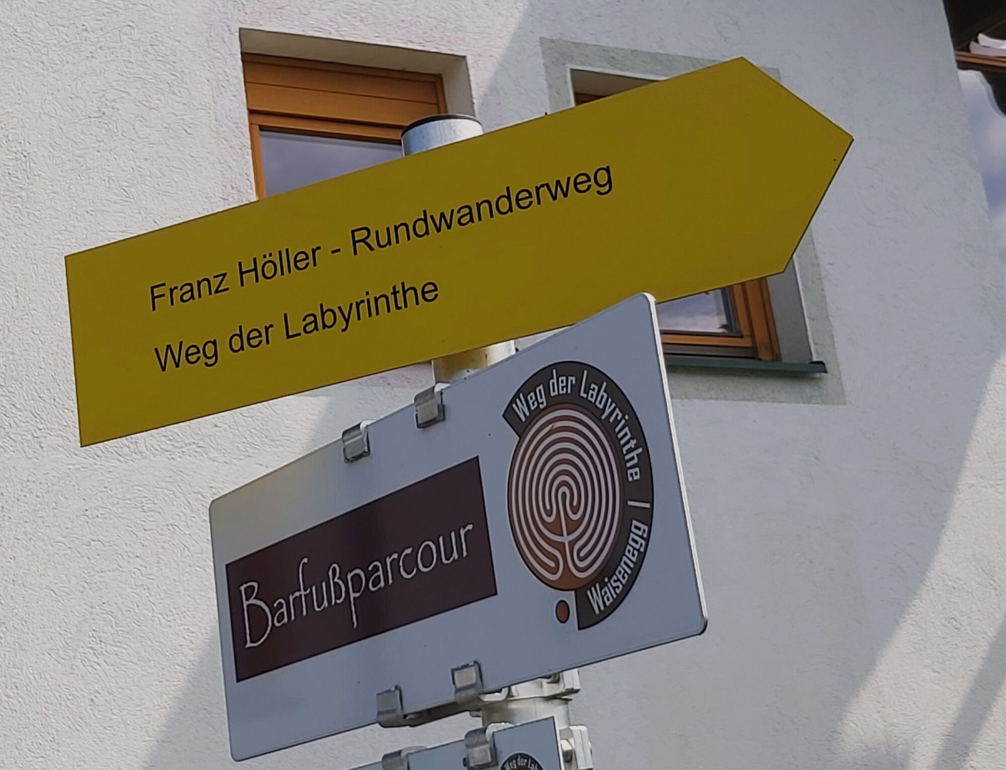
The yellow marker boards with the inscription "Weg der Labyrinthe" show us the way from the pavilion at the former Waisenegg municipal office through the entire loop!
Translated with www.DeepL.com/Translator (free version)
- Directions
-
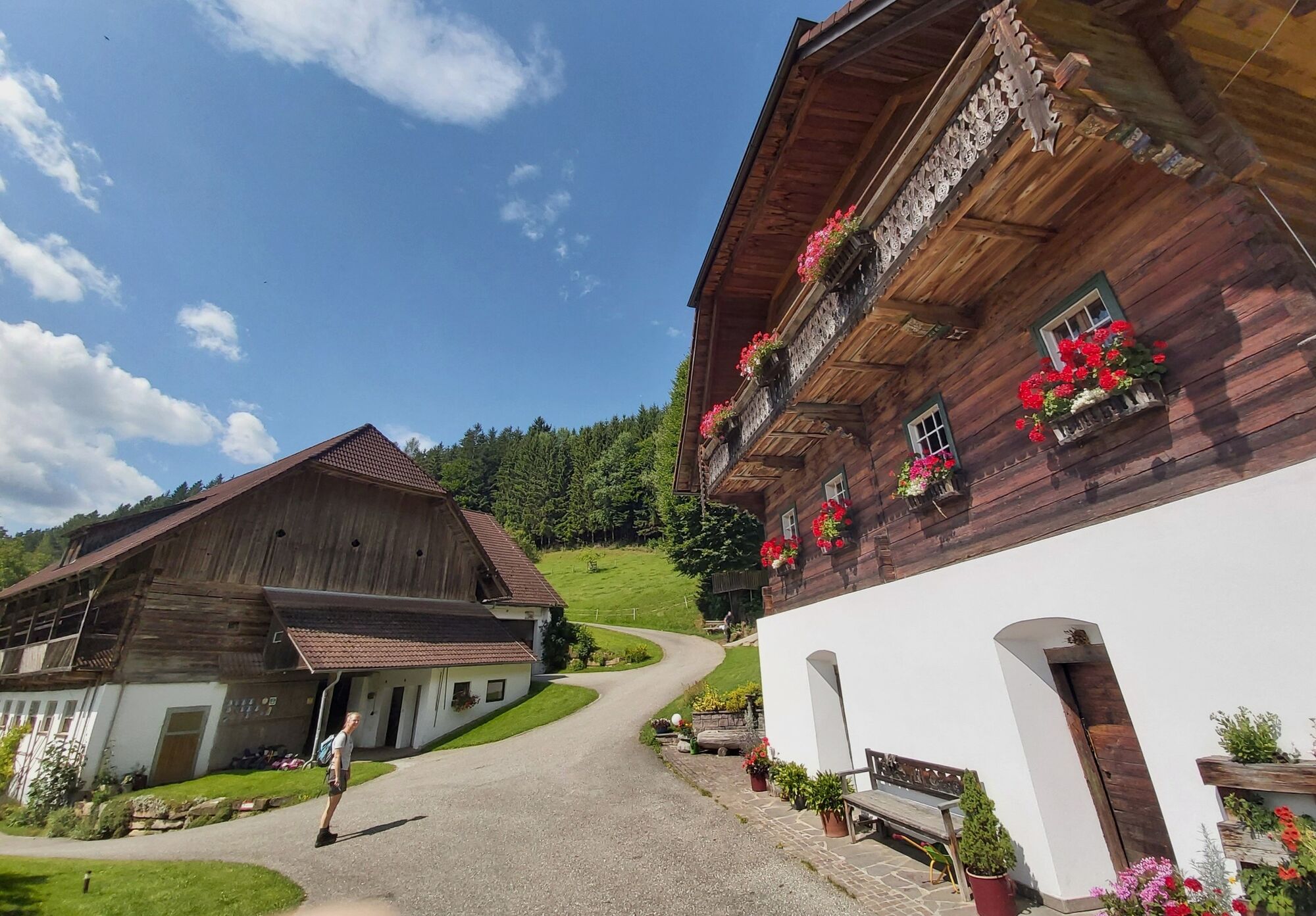
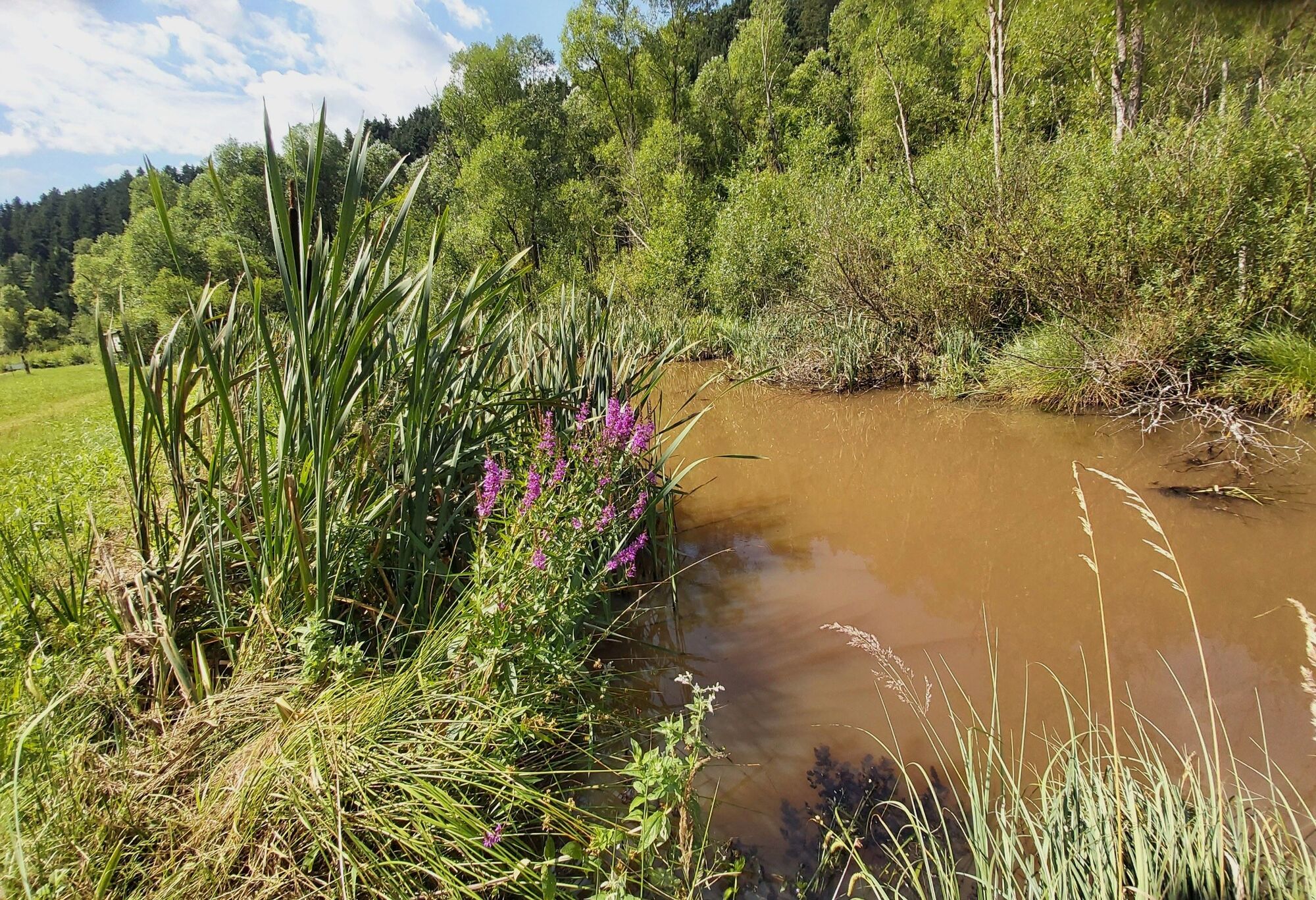
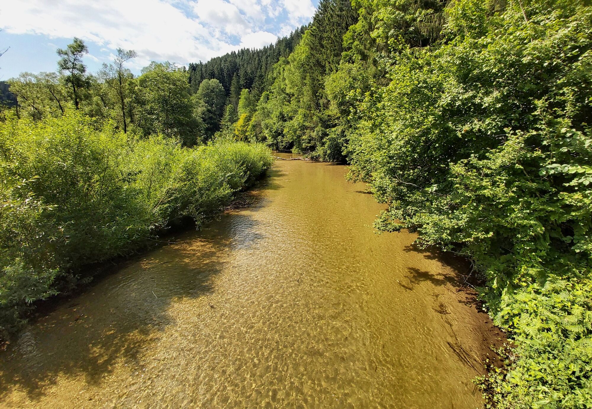
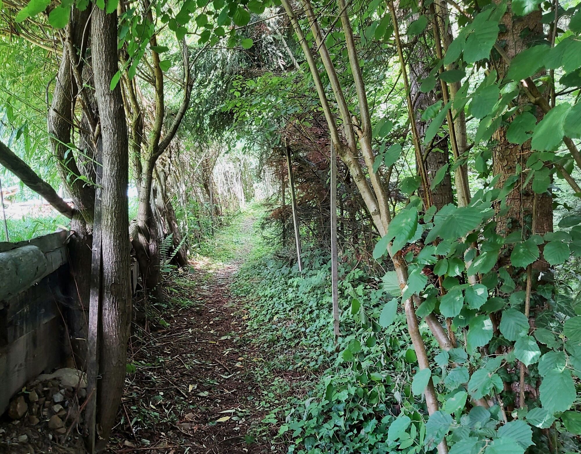
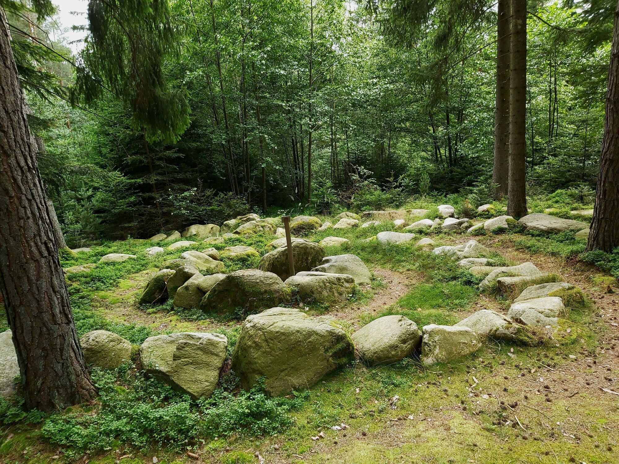
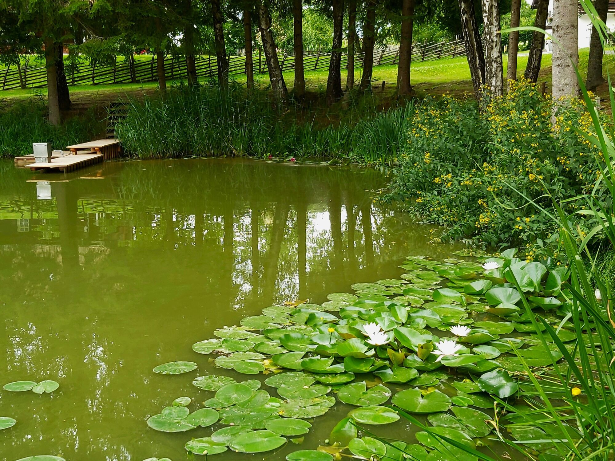
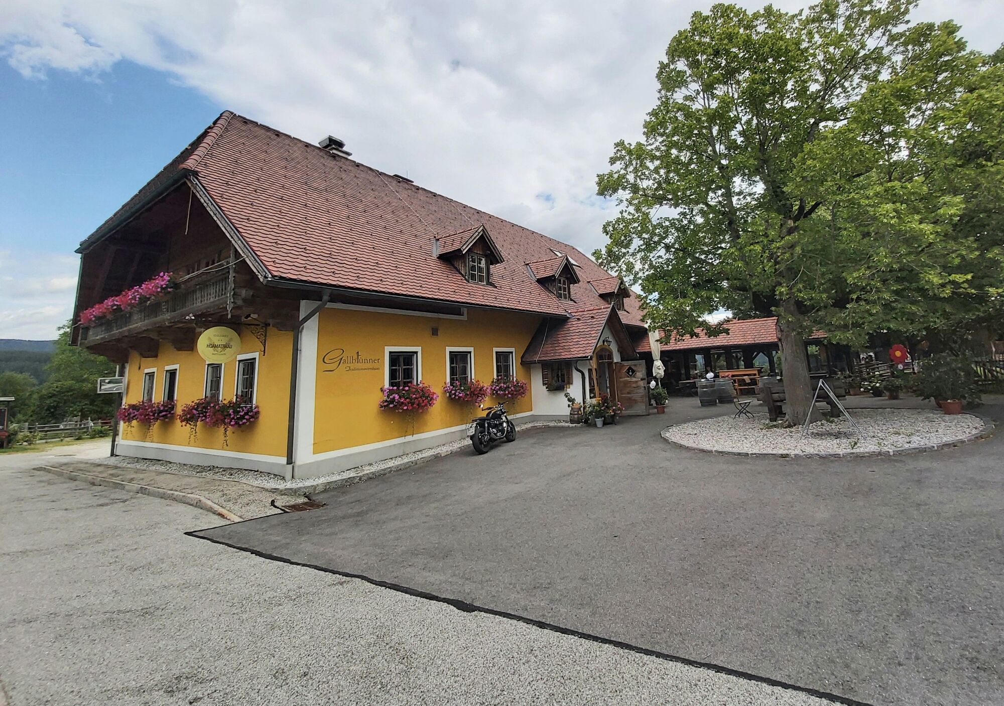
We start in Waisenegg at the pavilion at the parking lot in front of the kindergarten Here you will find the first labyrinth, the "ball labyrinth" Then we cross the parking lot and go to the barefoot course next to the kindergarten We continue on the path to the Peace Chapel We go down the meadow to the asphalt road, there we turn left onto the gravel road. Follow the gravel road down into the forest to the rope labyrinth. We follow the signpost until we reach a farm, the road leads us downstream Now we have reached the balance labyrinth Passing the farm, the road leads us further to the Feißtritz, where we cross the footbridge to the Jausenstation Seehütte (+43 664 4251187) Back on the cycle path we continue in the direction of Birkfeld until we reach the Blancesteg bridge. After the bridge we leave the cycle path, cross a gravel road and follow the forest path with a short ascent After a short stretch we arrive at the willow labyrinth The exit of the willow labyrinth shows us the way to a gravel road, which leads us to the meditation couch If we continue up the forest path diagonally to the meadow, along the trees to the soccer field and cross the road, we come to the stone labyrinth. Through the forest we come to a fish pond We continue along the gravel road and pass the inn Gallbrunner (+43 3174 4410) There we cross the country road L114, follow it and turn off onto an access road. From this access road we go to the municipal road and back to the starting point
- Highest point
- 762 m
- Endpoint
-
Start pavilion Waisenegg (part of the municipality of Birkfeld)
- Height profile
-

- Equipment
-
Small rucksack with water bottle (+ provisions)
Sturdy shoes
Appropriate clothing - if possible several layers - "onion principle".
Rain and sun protectionWalking sticks as required
Mobile phone
Small first aid kit
Route description
Before starting the hike, check the possibilities for refreshments, including opening times, or pack appropriate food and drink.
- Safety instructions
-
European emergency call: 112
Emergency call mountain rescue: 140 (if possible please provide GPS data)
Rescue: 144
Fire brigade: 122
Police: 133
Walk at your own risk!
Tip for reporting an emergency - give answers to the six W-questions:What happened? How many people were injured? Where did the accident happen (possibly GPS coordinates)? Who reported the accident (call-back number)? When did the accident happen? Weather at the accident site?
A few tips on correct and fair behaviour in the forest: (Source: www.bundesforste.at )
Hikers should avoid visits to the forest about 1.5 hours before sunrise and after sunset, as wild animals are particularly active during this time.
Plastic bottles, handkerchiefs, cigarette butts etc. have no place in the forest! Please make sure that you do not leave any rubbish in the forest.
Camping and lighting fires are strictly forbidden in the forest!
In principle, every person is allowed to pick 2 kg of mushrooms and berries per day for personal use. It is only prohibited if the forest owner expressly forbids it.
- Tips
-
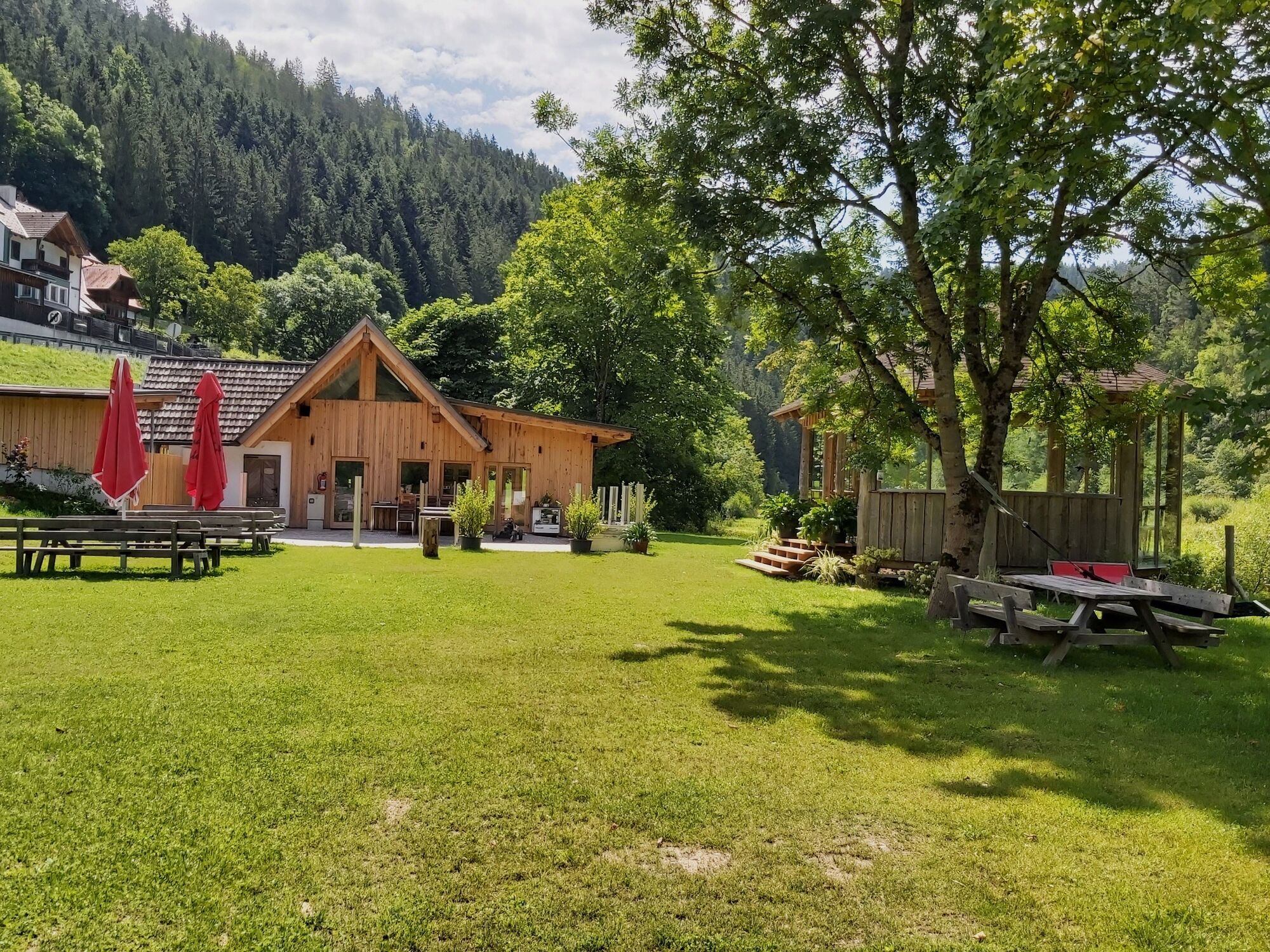
The refreshment stops directly along the trail provide refreshment on the way, for example the Gallbrunner gourmet restaurant or the Joglland-Seehüte of the Töglhofer family directly on the Feistritz reservoir.
- Additional information
- Directions
-
Arrival from Vienna: A2 to Hartberg, B54 direction Graz to junction Pöllau, Birkfeld. After Pöllau turn left to Birkfeld about 15 km.
From Graz: A2 to Gleisdorf exit, B64 direction Weiz. Traffic circle before Weiz on the B72 direction Anger, Birkfeld. From Weiz about 25 km.
From Salzburg: S6 via Bruck, Kapfenberg to exit Allerheiligen im Mürztal. Immediately after the exit turn right towards Fischbach, Birkfeld. Approx. 35 km via Schanzsattel to Birkfeld.
- Public transportation
- Parking
-
Parking at the start pavilion in the district of Waisenegg (municipality of Birkfeld)


-

-
AuthorThe tour Path of the labyrinths is used by outdooractive.com provided.


General info
-
Hochsteiermark
4082
-
Joglland - Waldheimat
1513
-
Birkfeld
377