


- Brief description
-
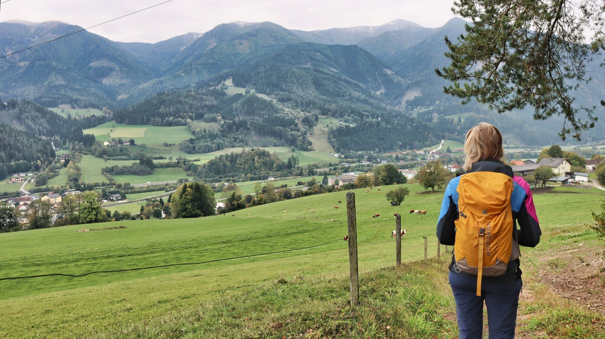
The hiking trail from Kammern to Mautern - or vice versa - offers beautiful views into the Liesing Valley, a ruin steeped in history and a grotto with a devotional niche.
- Difficulty
-
medium
- Rating
-
- Starting point
-
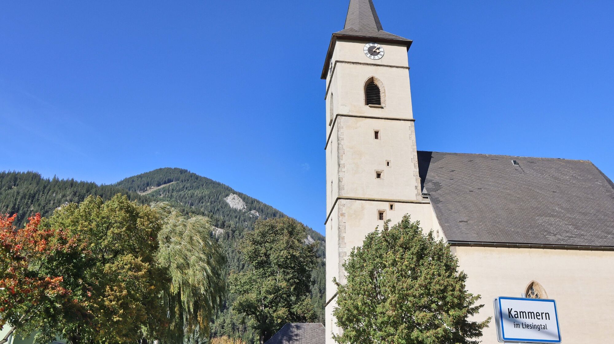
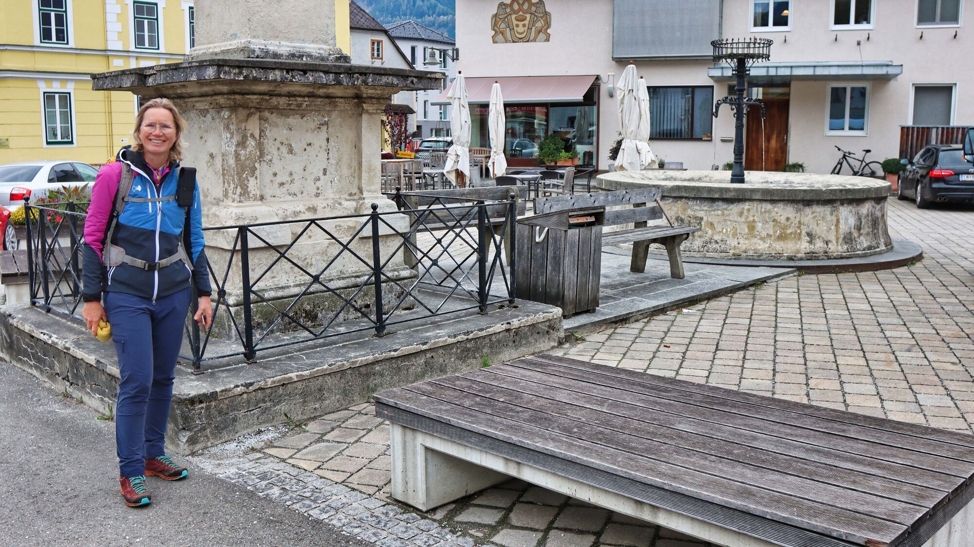
Main square chambers
- Route
-
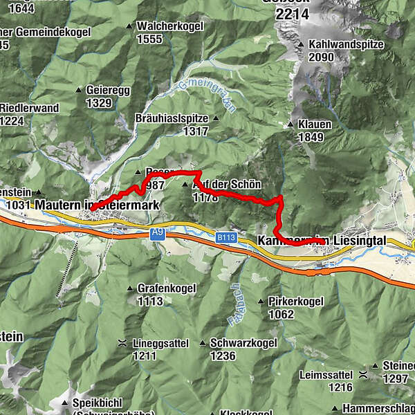
Kammern im Liesingtal0.0 kmTannleiten5.4 kmEselberg7.0 kmMautern in Steiermark8.6 kmGasthaus zur Traube8.7 km
- Best season
-
JanFebMarAprMayJunJulAugSepOctNovDec
- Description
-
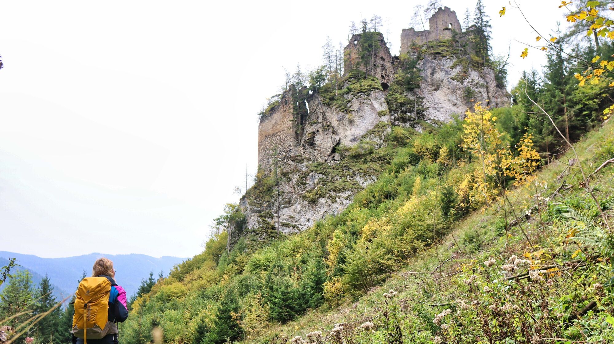
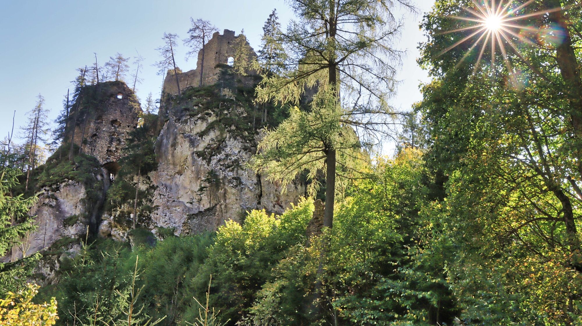
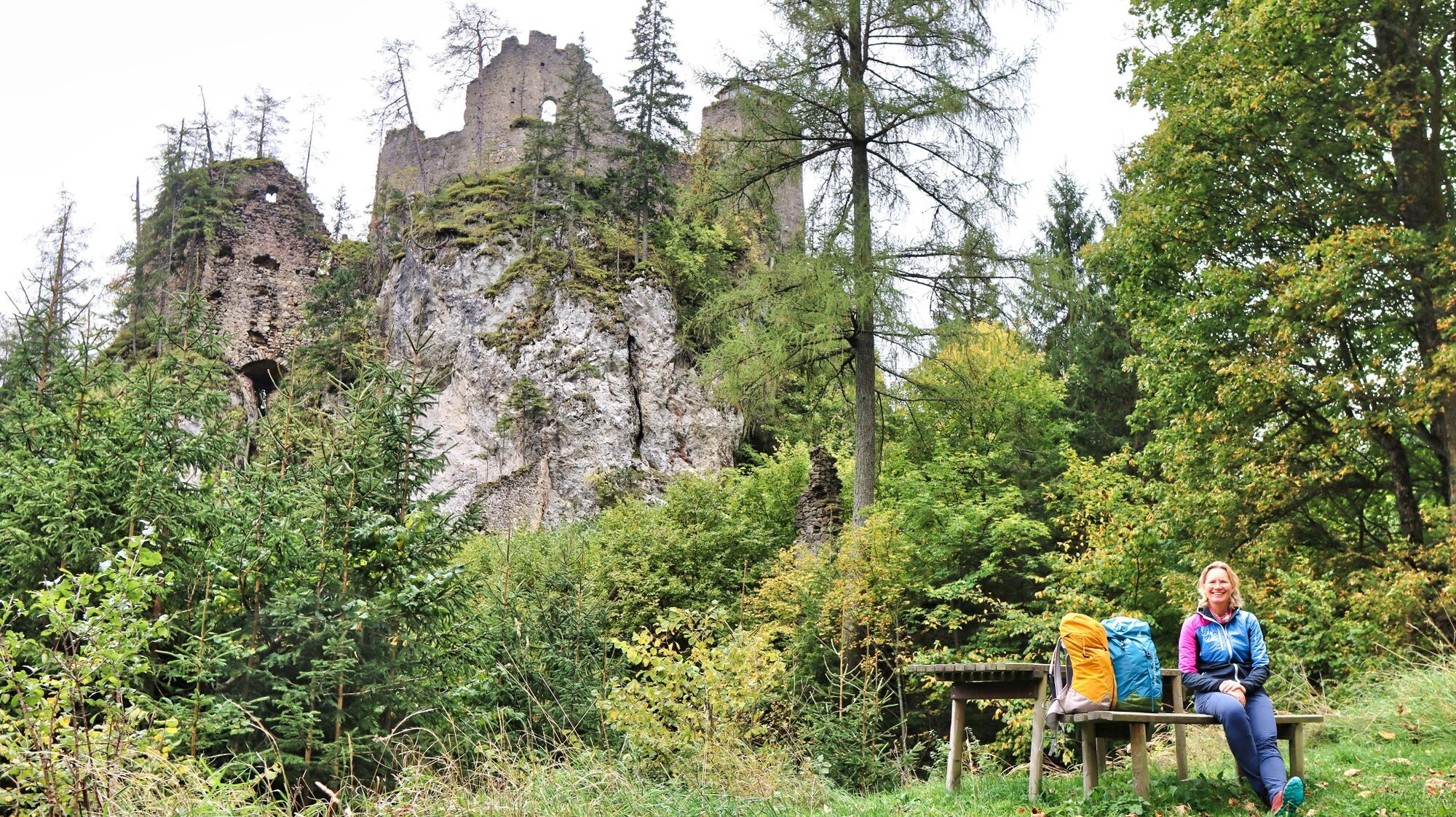
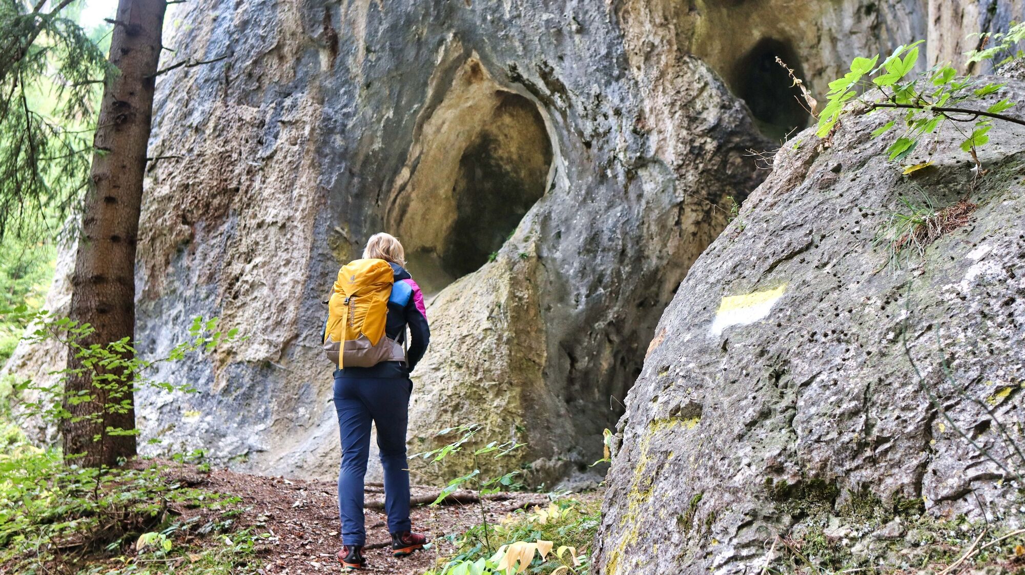
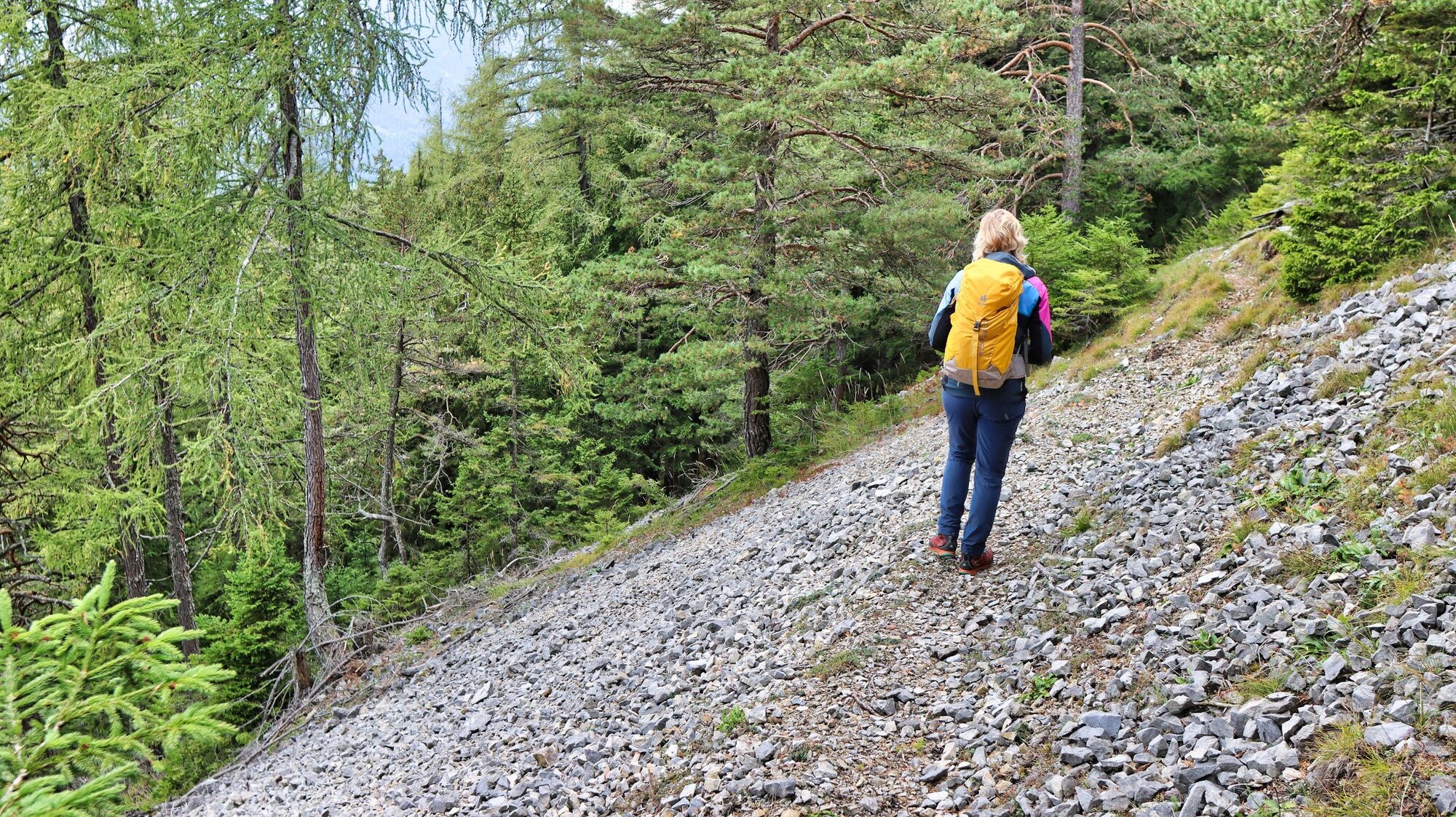
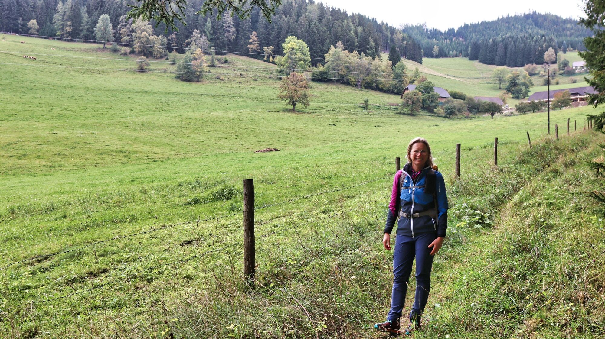
With the hiking or theme trail "Rittersteig" you can connect the villages of Kammern and Mautern in a wonderful way. The entire hiking trail is well marked (yellow-white) except for a few places, has its own signage system (Rittersteig) and is also equipped with several information boards around the ruin Kammerstein. The beautifully laid out trail leads mostly through the forest, whereby you repeatedly pass places with steep rocky outcrops that open up a fantastic view of the Liesing Valley. If you only want to walk a short loop, the Kammerstein ruins and the nearby grotto are already nice destinations, especially for children. Kammerstein Castle was built in the 2nd half of the 13th century and was probably already dilapidated at the beginning of the 16th century. Several information boards inform in detail about the history and the legend "Vom Fenstersturz auf Kammerstein". Due to the railroad stations of both villages, the trail can be combined very well with a train journey.
- Directions
-
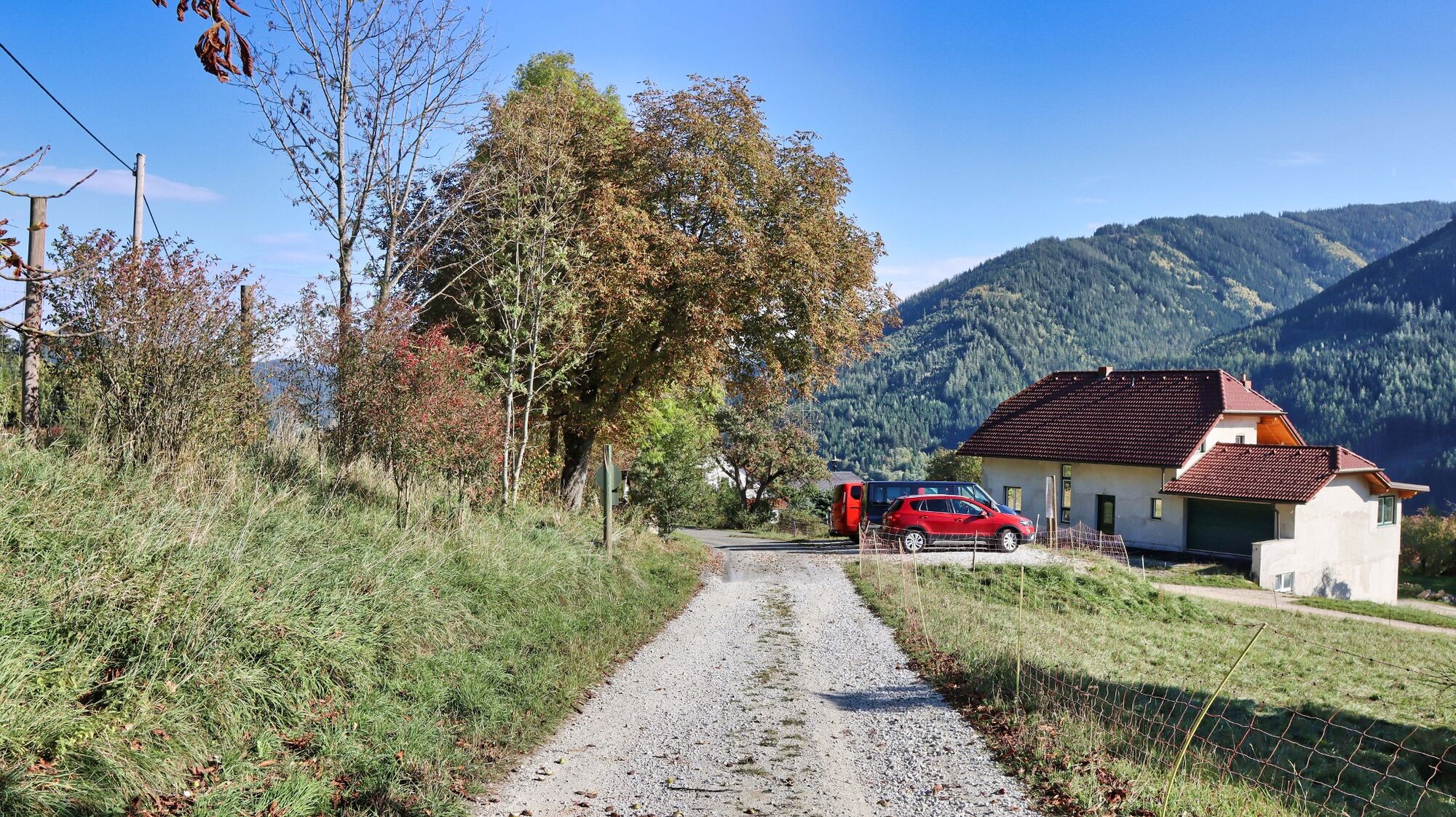
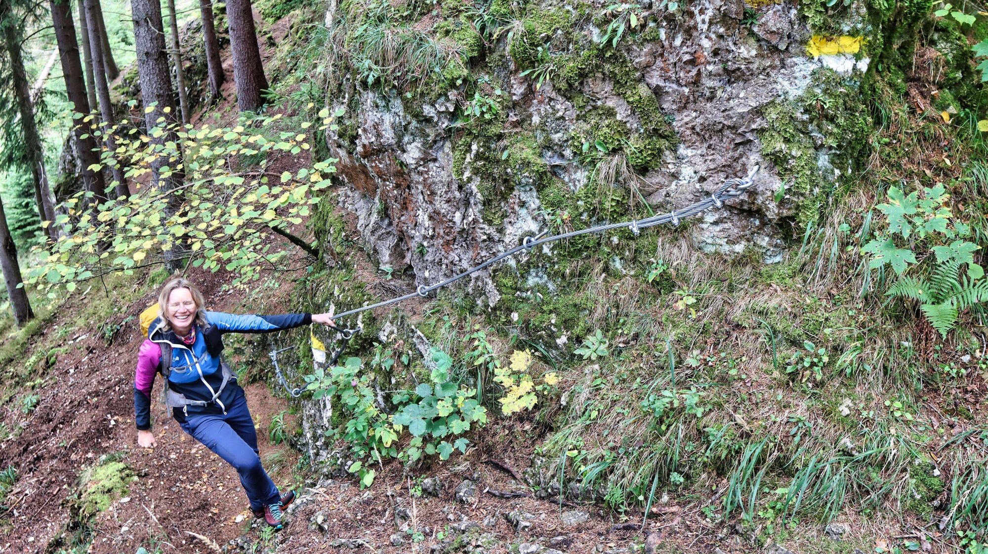
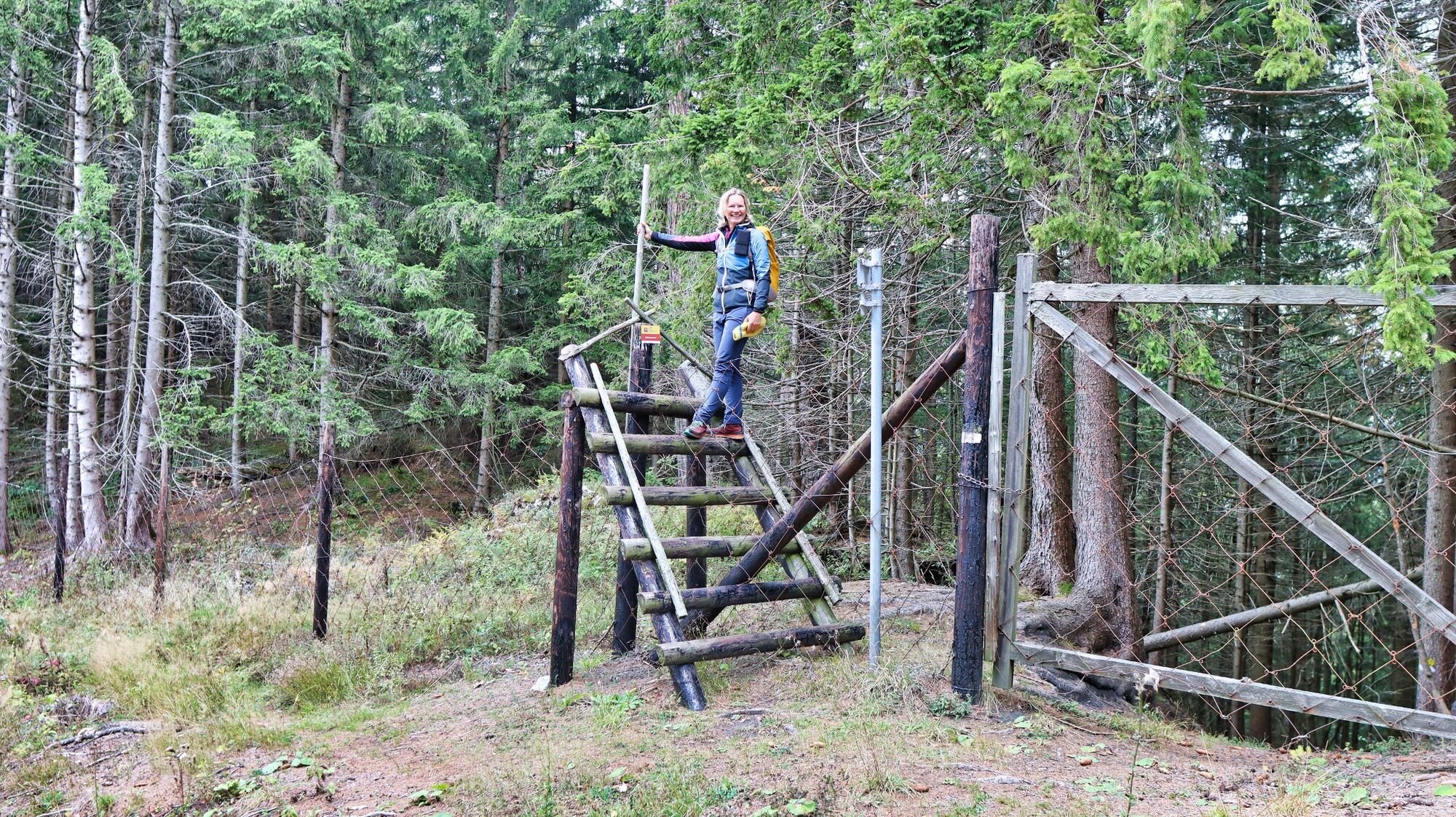
We start in Kammern (1), 664 m, orient ourselves at the Rüsthaus Kammern, which we pass and follow the road slightly uphill. At the end of the asphalt road we reach a parking lot. From now on we continue on a forest road, where the yellow and white markings make orientation very easy. From the ruin Kammerstein (2), 996 m, we are on a climb and soon reach the grotto with a devotional niche. The next 1.5 kilometers are continuously uphill; in between also a bit steeper. Also steep are the rocky outcrops with a great view, which can be reached with a short detour from the path. After a leisurely descent, we cross a fence crossing (3), 1143 m, and continue downhill until we reach a construction container. Here we point left downhill, follow the path until we reach the road with the wooden hut "Zum Zimmerer". A few meters later a path leads downhill to the right to a road, which we follow to the right for about 100 meters, in order to continue - slightly uphill - on the right again. The well-marked trail leads to a forest road, which leads to the meadows and shortly after to the center of Mautern (4), 693m.
- Highest point
- 1,203 m
- Endpoint
-
Main square chambers
- Height profile
-

- Equipment
-
Backpack with rain cover Telescopic / hiking polesMountain / hiking boots Gloves: waterproof and warming Headgear / sunglasses Outerwear: Onion layer system, T-shirt, sweater, jacket and winter jacket with hood Hiking pantsSeat pad Drinking bottle / thermos flask (on cooler days a warming drink is pleasant) Snack First aid kit with blister plaster and tick tongs
Other important equipment
Route description Detailed plan of the hike Hiking map: For overview a map in scale 1 : 50 000 of the respective region GPS device cell phone - Safety instructions
-
Predominantly narrow and often steep, the path leads through the terrain.
A few tips for correct and fair behavior in the forest: (Source: www.bundesforste.at - 6/2021)
Hikers should avoid visits to the forest about 1.5 hours before sunrise and after sunset, as wildlife is particularly active during this time. Plastic bottles, handkerchiefs, cigarette butts & Co have no place in the forest! Please make sure that you do not leave any trash in the forest. Camping and making fire - is strictly forbidden in the forest! In principle, each person is allowed to collect 2 kg of mushrooms and berries per day for personal use in the forest. It is only forbidden if the forest owner expressly forbids it.Alpine emergency call: Mountain rescue emergency number: 140 EU emergency call: 112
Emergency call rescue: 144
Emergency reporting tip - give answers to six important questions: What happened? How many injured? Where did the accident happen (possibly GPS coordinates)? Who reported the accident (call-back number)? When did the accident happen? Weather at the accident site?
Weather service: www.zamg.ac.at
Direct link mountain weather Styria: https://www.zamg.ac.at/cms/de/wetter/produkte-und-services/bergwetter/steiermark
- Tips
-
From both villages you can make attractive mountain hikes; see the hiking tips of Kammern and Mautern
- Additional information
-
Tourismusverband ERZBERG LEOBEN
Hauptplatz 3
8700 Leoben
Phone: +43 3842 481 4 810
Refreshment stops in Kammern
Gasthof Judmayer, Tel.: +43 3844 8272, 8773 Kammern im Liesingtal, Hauptstraße 54
Restaurant Purgar, Tel.: +43 3844 87042, 8773 Kammern im Liesingtal, Hauptstraße 52
Refreshment stops in Mautern
Gasthof Lieber, Tel.: +43 3845 2232, 8774 Mautern, Josefiplatz 6,
Maier Family Inn, Tel.: +43 3845 2217, 8774 Mautern, Hauptstraße 2,
Pizzeria Mautern, Tel.: +43 3845 21513, 8774 Mautern, Hauptplatz 4
- Directions
- Public transportation
-
ÖBB www.oebb.at or Verbundlinie Steiermark www.busbahnbim.at.
With the BusBahnBim app from Verbundlinie, timetable information has never been easier: all bus, train and streetcar connections in Austria can be queried by entering locations and/or addresses, stops or important points.
The app is available as a free app for smartphones (Android, iOS) - on Google Play and in the App Store.
- Parking


- Author
-
The tour Rittersteig is used by outdooractive.com provided.


General info
-
Erzberg Leoben
2530
-
Hochschwab
1272
-
Kammern im Liesingtal
220


 & Kaiserschild (rechts)")


