- Brief description
-
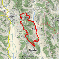
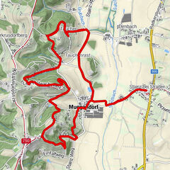
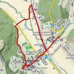
The network of hiking trails on the "traces of the volcanoes" in Thermen- & Vulkanland Steiermark shows the image of a man. A buffet of pictures opens up between extinct volcanoes.
- Difficulty
-
medium
- Rating
-
- Starting point
-
Train station Feldbach
- Route
-
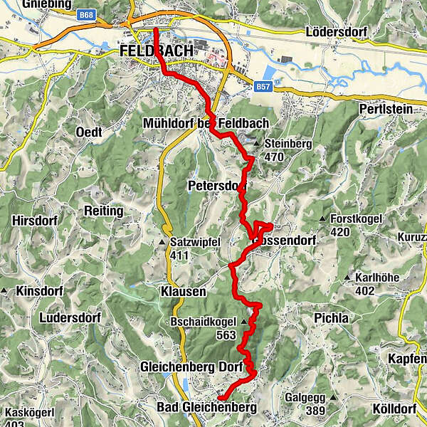
FeldbachStadtpfarrkirche St. Leonhard0.2 kmFeldbach0.6 kmMühldorf bei Feldbach3.3 kmWiesbüchel7.8 kmKulmberghof9.2 kmEdelweißwarte12.7 kmBad Gleichenberg15.0 km
- Best season
-
JanFebMarAprMayJunJulAugSepOctNovDec
- Description
-
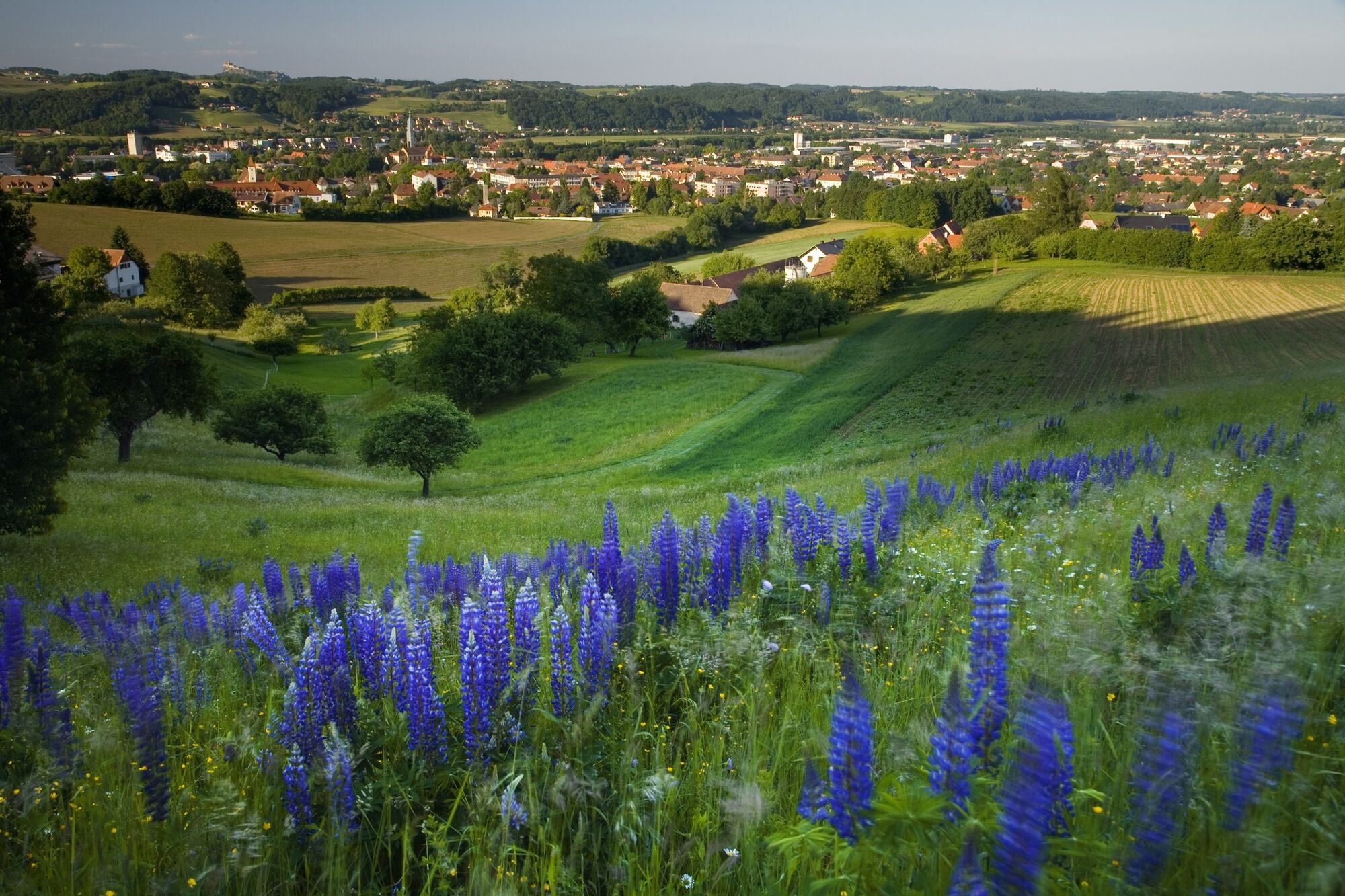
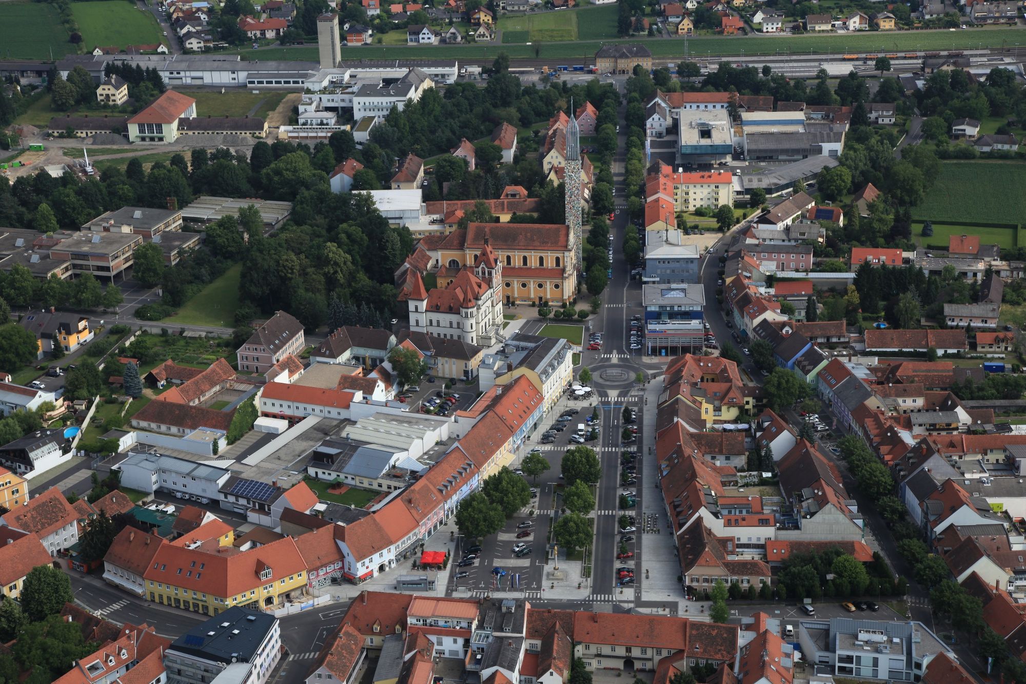
The hiking trail from Feldbach via Mühldorf, Gossendorf, the millstone quarry to the spa town of Bad Gleichenberg forms the backbone of the hiking trail network, which is created in the form of a human. The return from Bad Gleichenberg to Feldbach can be made comfortably with the Gleichenberg train. The train schedule can be found at www.stlb.at.
Those who wish can walk from the Gleichenberg train station along the railroad hiking trail back to Feldbach.
- Directions
-
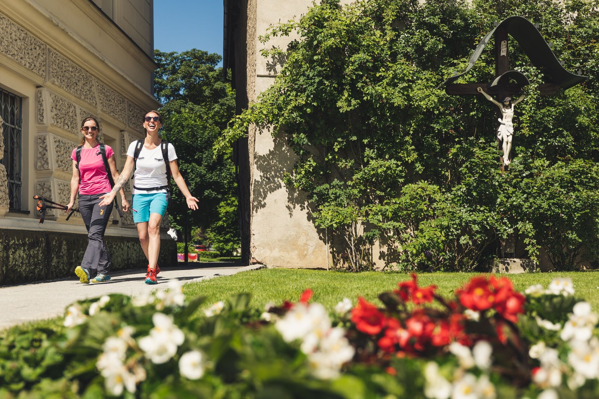
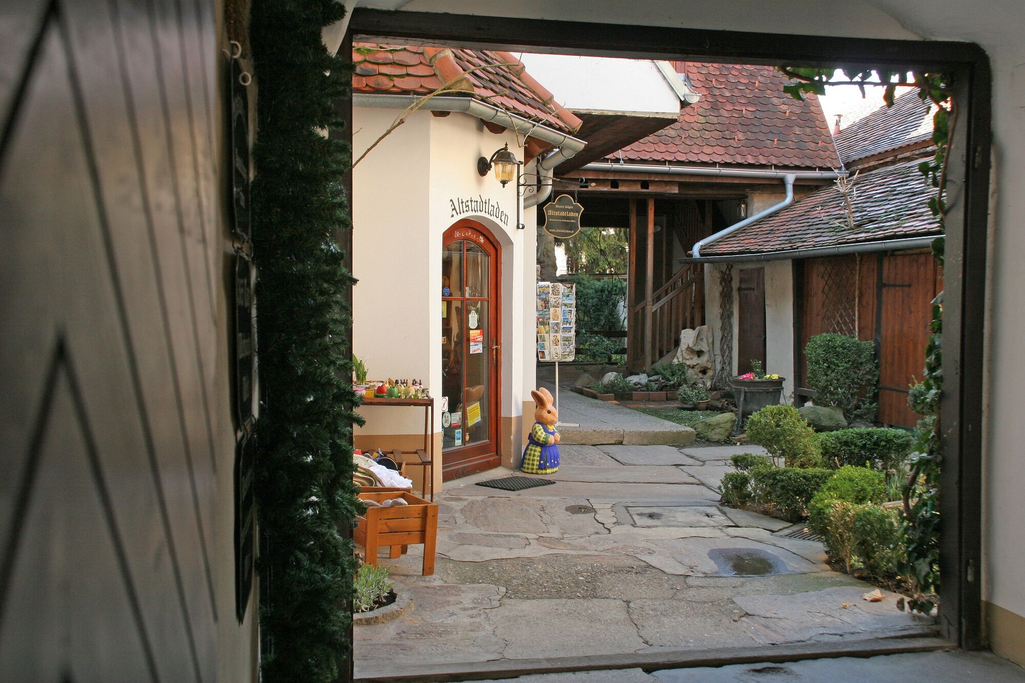
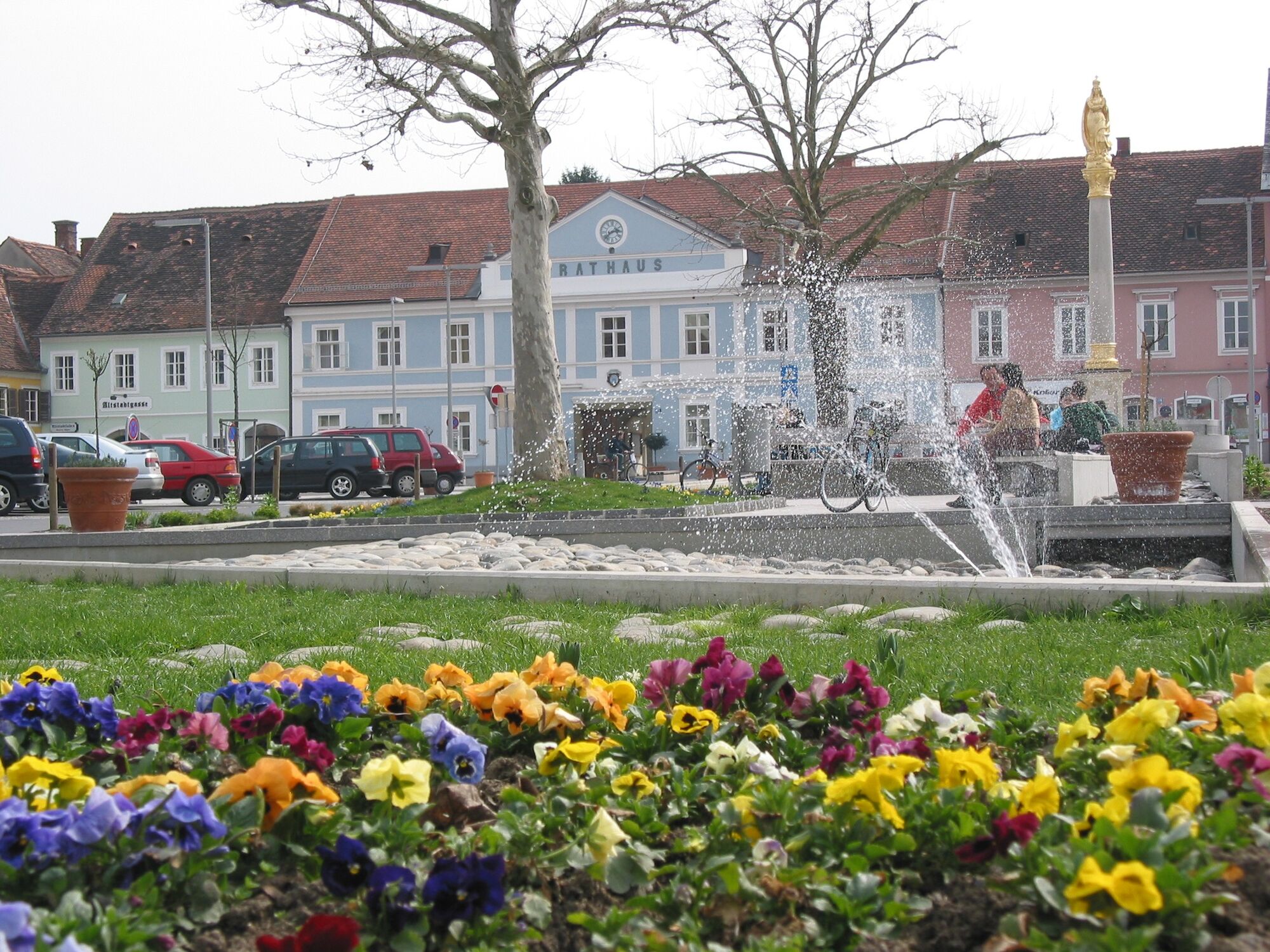
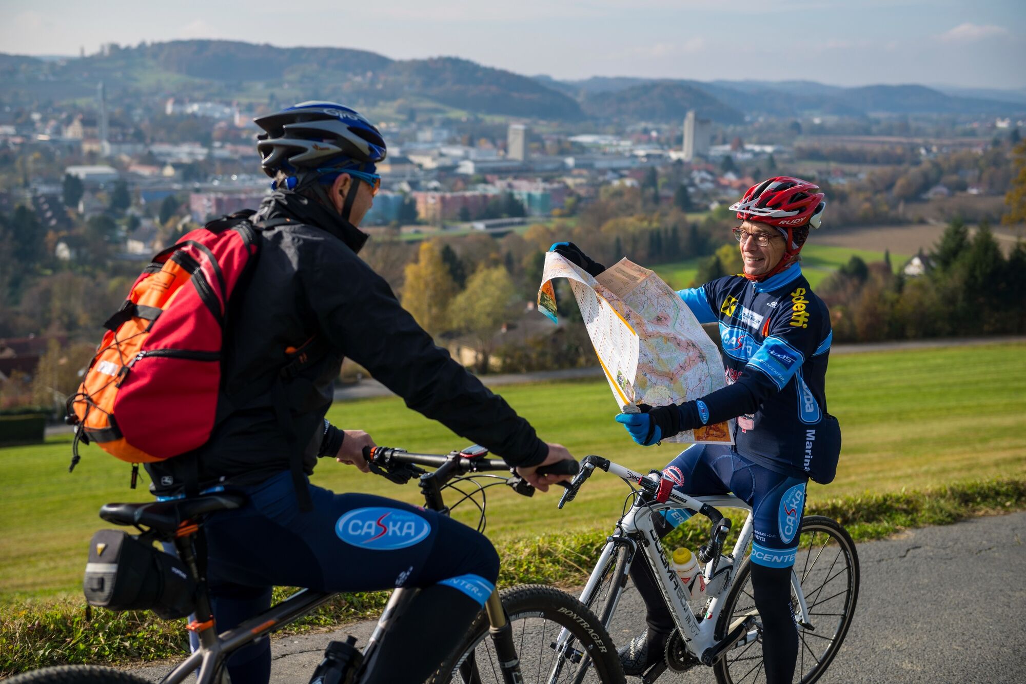
First we walk from the Feldbach train station into town to the main square. Continuing via Burgfried we leave Feldbach and arrive at Mühldorf, from where we climb the Steinberg, a basalt volcano. On the stone spine we hike towards the two Gleichenberger Kogel, cross a ditch and climb to the Höchkogel in Gossendorf, which offers a fantastic view of the gently rolling landscape. Continuing along the ridge, we finally reach the Gleichenberger Kogel, the oldest volcano in the region. The reddish and yellowish shimmering rock at the quarry, which we cross during the ascent, is trass rock, which was formed by volcanic vapors and gases after the extinction of the volcano. Here, very close by, is also mined the natural fango that is used in the thermal baths for mud packs.
We bypass the quarry and hike halfway up under the summit of the Bschaidkogel to the millstone quarry. Here, with a little luck, you may even find fossils that were washed up here about 10 million years ago by what was then called the "Mur"!
On the forest path we then descend to Bad Gleichenberg, the heart center in which natural healing waters for cardiovascular problems bubble up. Through the town center we come to the famous spa park. A little further is then already the station of the Gleichenberger Bahn, where either the tour No. 13 connects or the possibility to return to Feldbach.
- Highest point
- 494 m
- Endpoint
-
Train station Bad Gleichenberg
- Height profile
-

- Equipment
-
Proper backpack packing makes many things easier: Pack heavy things first. The water bottle should always be within reach in a side pocket. All the things that are often needed, such as sunglasses, camera or hiking map, belong on top. An emergency kit, including blister plasters, belongs in every rucksack and it is always advisable to dress in layers.
- Safety instructions
-
Emergency call mountain rescue: 140
ambulance: 144
European emergency call: 112
firefighters: 122
police: 133Tips when reporting an emergency – Answer these six WH questions: What happened? How many people are injured? Where did the accident happen (are there GPS coordinates)? Who is reporting the incident (callback number)? When did the accident happen? What is the weather like at the site of the incident?
- Tips
-
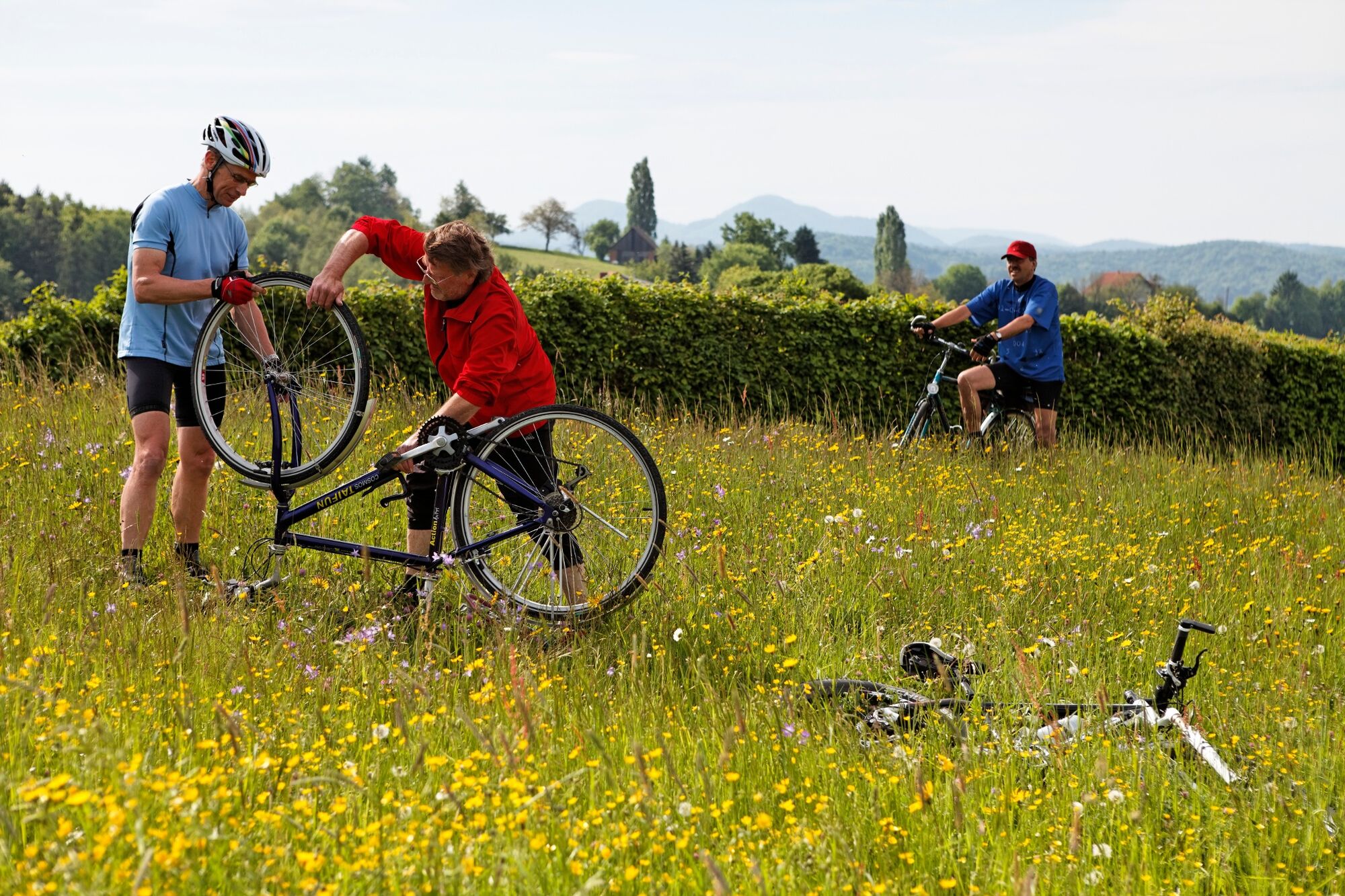
The hike leads mainly along forest paths and small side roads. Several climbs between 70 to 150 meters in altitude allow beautiful views.
- Additional information
-
Information
Tourist office Thermen- & Vulkanland
Guest information Feldbach
Main square 1, 8330 FeldbachE-Mail: christine.neuhold@thermen-vulkanland.at
Web: www.thermen-vulkanland.atOpening hours:
Mon-Fri from 9-12 and 13-16 hrs.
Foyer from 6-22 hTours in the footsteps of volcanoes
Guided hikes or geomantic experience of the eruptive history of the volcanic land
SPIRIT of regions
Auersbach 71, 8330 Feldbach
Tel.: +43 664 9682882
Web: www.spiritour.at
The Styria Tours App , which is available for free on Google Play and in the App Store (Android, iOS), offers detailed first-hand information: short facts (length, duration, difficulty, ascent and descent in altitude meters, ratings), map, route descriptions, altimeter, compass, summit finder, navigation along the tour. In addition, you can create your personal favorites list of favorite tours and points, save tours and destinations offline, play on social media channels and more. - Directions
- Public transportation
-
Detailed information about arriving by ÖBB (Austrian Federal Railways) can be found at www.oebb.at or on the Verbundlinie Steiermark website www.busbahnbim.at
With Verbundlinie’s BusBahnBim route planner app, planning your journey has never been easier: simply enter towns and/or addresses, stop names or points of interest to check all bus, train and tram connections in Austria. The app is available free of charge for smartphones – on Google Play and in the App Store
- Parking
-
P+R at Feldbach train station (no short-term parking zone). There are numerous parking spaces available.
Parking in the area of the city center Feldbach:
The parking duration is 2 hours. Parking in the shopping city of Feldbach is free of charge.
A parking meter must be used and is available free of charge at the tourist office.


- Author
-
The tour Backbone (Rückgrat) / Feldbach-Bad Gleichenberg is used by outdooractive.com provided.


General info
-
Oststeiermark
2126
-
Bad Gleichenberg
372
-
Bad Gleichenberg
154