3 Volcanoes Trail - In the footsteps of volcanoes (3-Vulkane-Weg - Auf den Spuren der Vulkane)


- Brief description
-
The network of hiking trails on the "traces of the volcanoes" in Thermen- & Vulkanland Steiermark shows the image of a man. A buffet of pictures opens up between extinct volcanoes.
- Difficulty
-
difficult
- Rating
-
- Starting point
-
1. Österreichisches Vulkanmuseum Gniebing oder Bahnhof Gniebing
- Route
-
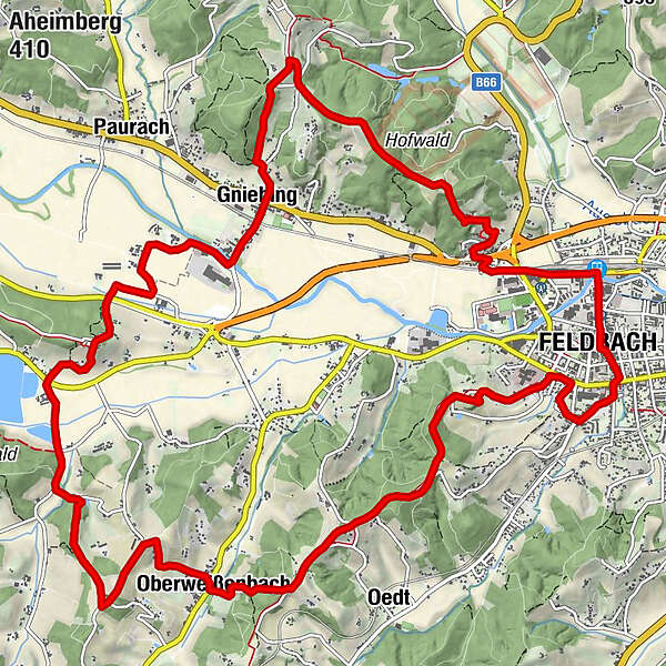
FeldbachStadtpfarrkirche St. Leonhard0.2 kmFeldbach0.6 kmFriedhofskapelle1.1 kmEvangelische Pfarrkirche2.0 kmKalvarienberg2.9 kmOberweißenbach6.0 kmDorfwirt Menüexpress Friesinger6.1 kmHartlberg7.4 kmMoosbuschen11.4 kmGniebing12.8 kmAuersberg16.3 kmFeldbach17.8 kmFeldbach18.0 km
- Best season
-
JanFebMarAprMayJunJulAugSepOctNovDec
- Description
-
Even the "original Styrians" knew where to live...
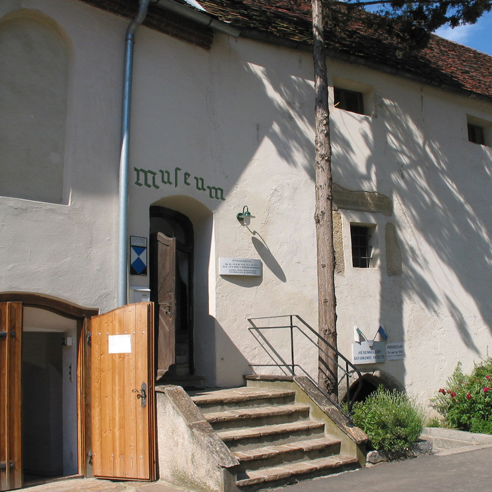
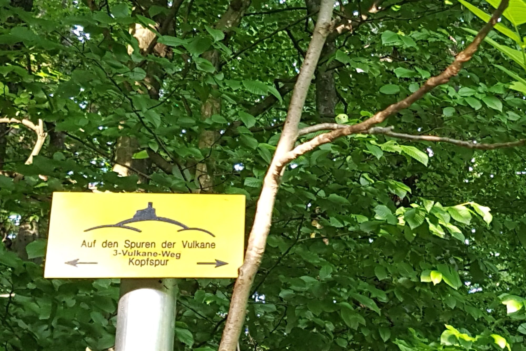
The 3-Volcano Trail starts at the 1st Austrian Volcano Museum in the Gniebing district. The museum is located in the service building right next to the fire station. Here you can immerse yourself in the volcanic past of the Vulkanland and understand how the volcanoes shaped the landscape and the people. The 3-Volcano Trail is located on the head track and partly on the backbone of the hiking trail network "On the tracks of the volcanoes". - Directions
-
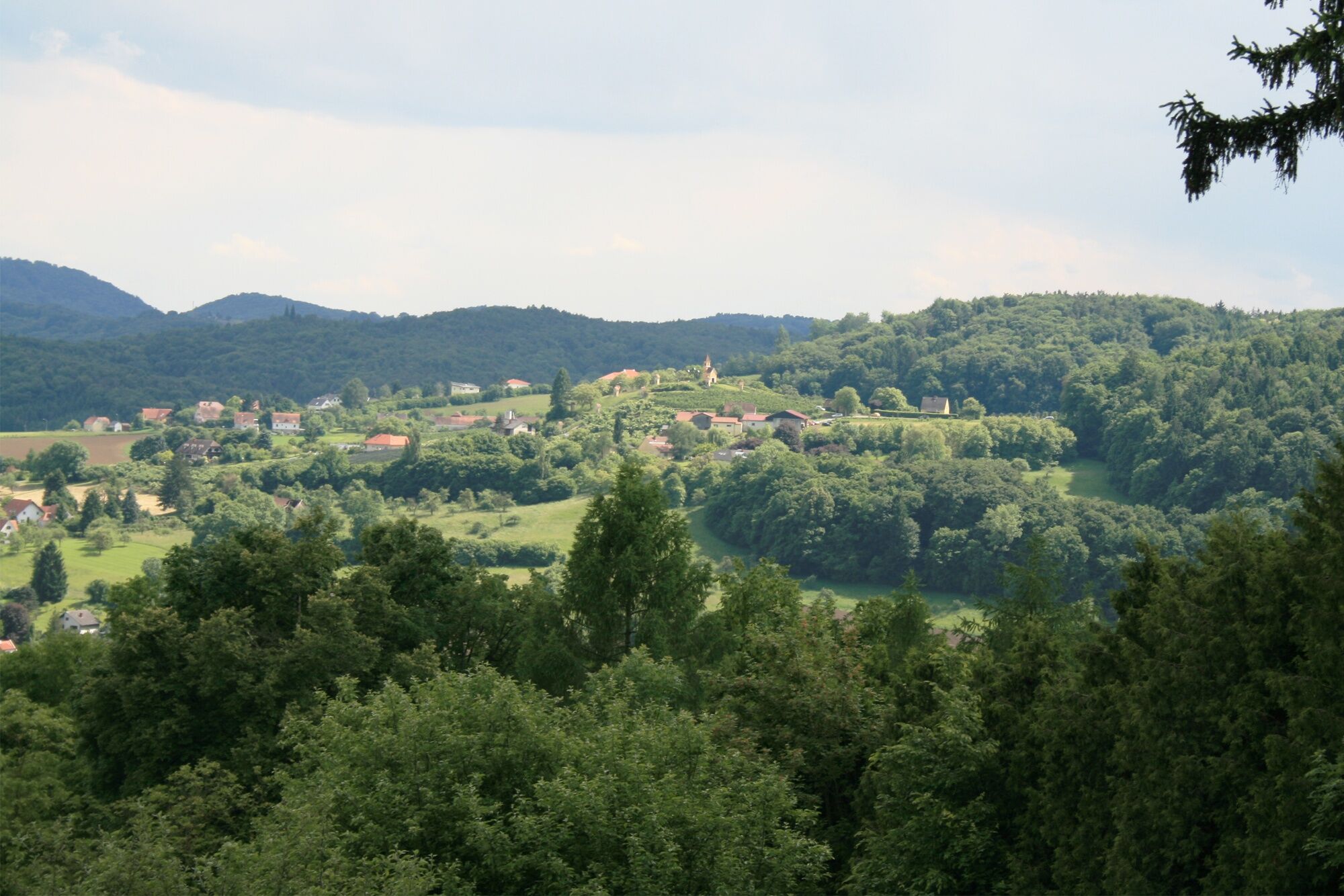
From the 1st Austrian Volcano Museum in the service point Gniebing, next to the fire station, we go briefly along the road towards Gleisdorf and then left away to the train station. Soon we come across the Raab and dive into the fields of the Raab valley, between which our path leads in a few turns to the other side of the valley. There we still have to cross the road and then we go up to the Saazkogel with the Laurentius church from the 14th century. However, this place was already appreciated by our ancestors 6000 years ago and in Roman times there was a real small town a little further down, whose traces we can visit on our further way along the slope.
Through a garden and over a house driveway we come to the country road, which we cross at the GH Frisch. We continue across the valley and into the side ditch, but soon turn off there and finally reach a forest path. This leads us uphill to Brandlegg, where we hike along quite flat with a wonderful view of fruit and elderberries and beyond, until it goes steeply down through the orchards to Oberweißenbach. Diagonally across the road we walk past the tennis court already back up to the ridge, where we meet the railroad hiking trail. From now on we can enjoy without further effort the path on the hill with many views up to the Kalvarienberg, where the view now finally opens into the Raab valley.
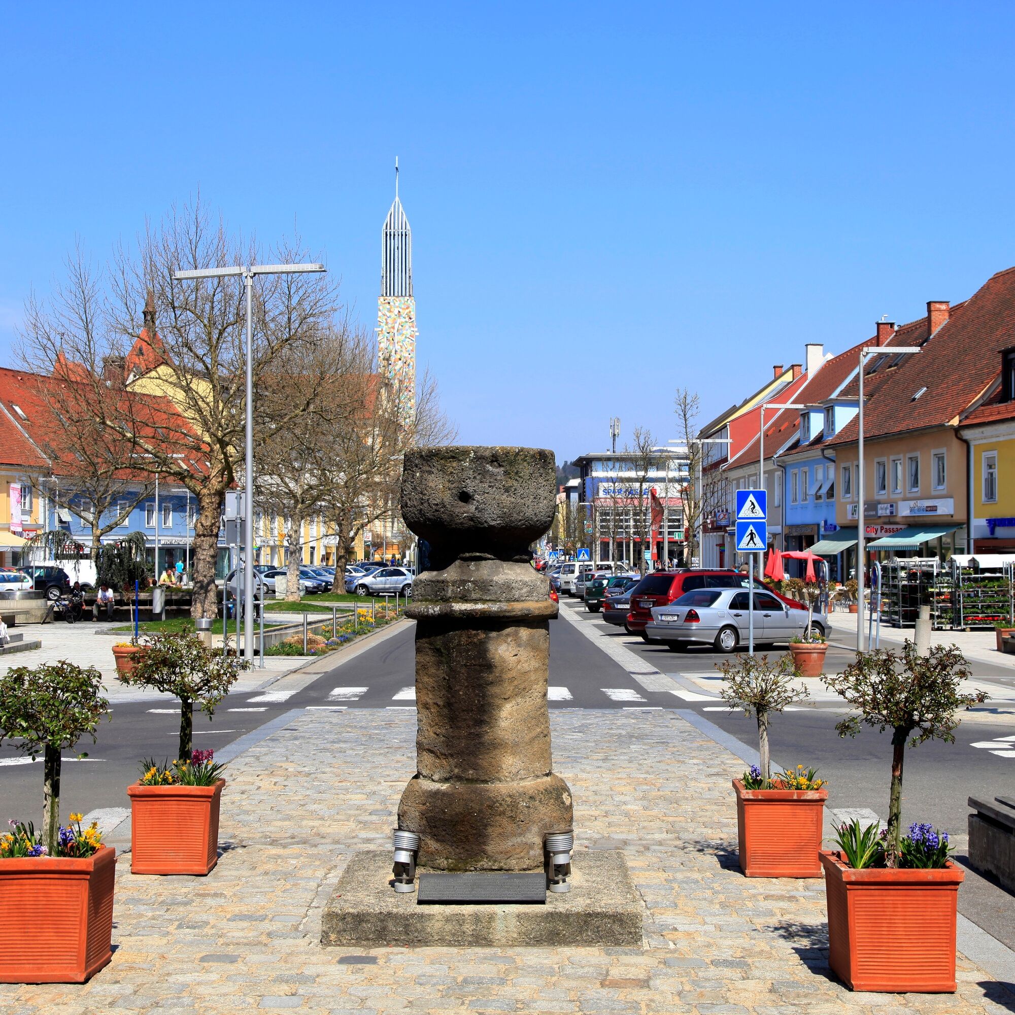
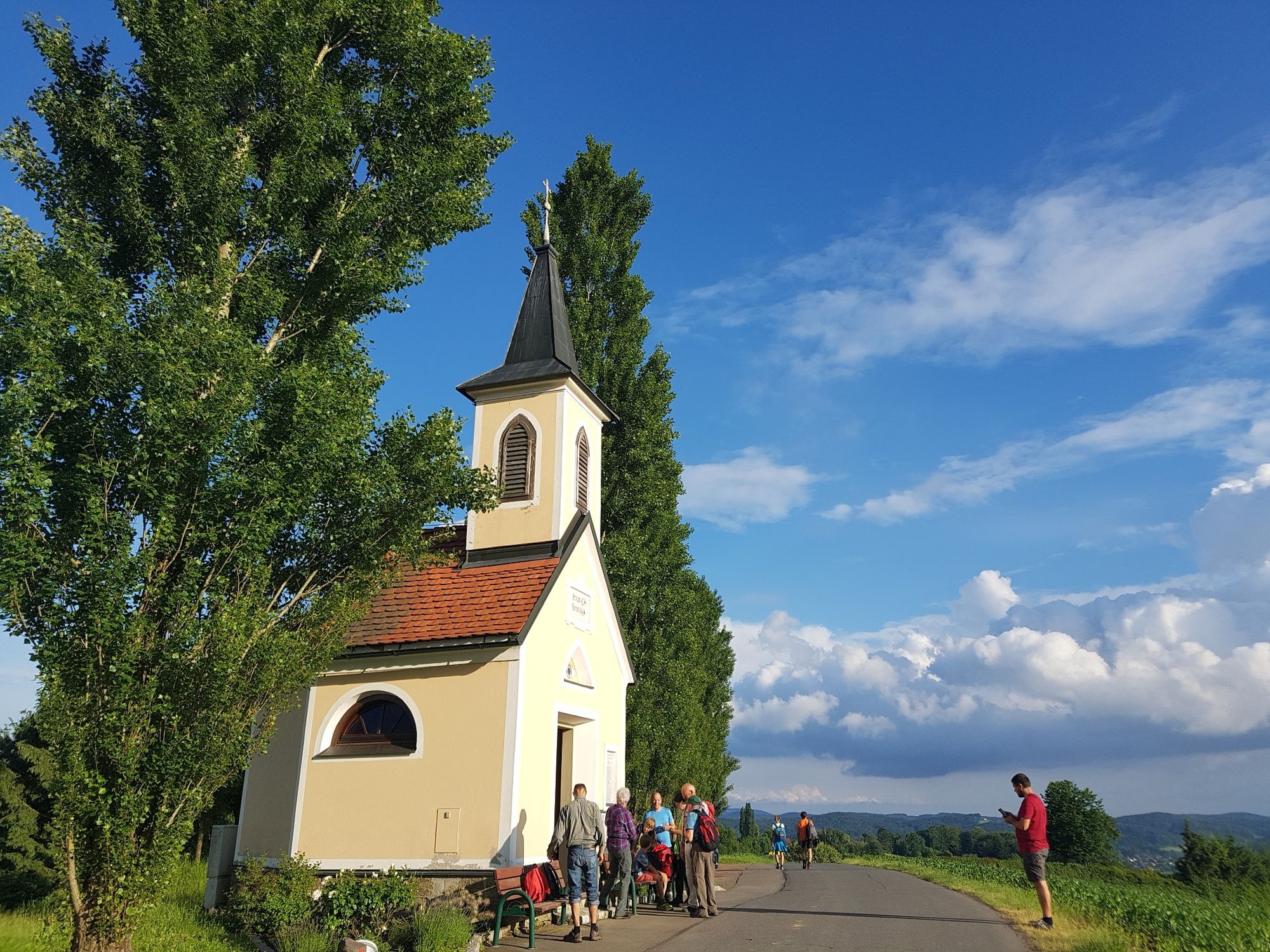
We continue our walk past the provincial hospital to Feldbach and along winding paths through the main square to the train station. Along the railroad we leave the town again, cross the railroad and start our last ascent below past the parachutist monument - the only one of its kind in the German-speaking area - to the Auersberg. At the top, we pass a Hallstatt burial ground to the Platzerkapelle chapel, where not only a rest area but also the surprisingly wide panoramic view invites you to linger. Next to it, you can visit a hail defense rocket hut, where the corresponding equipment used to be housed. From here, the trail goes quite directly along the edge of the forest back down to Gniebing.
- Highest point
- 397 m
- Endpoint
-
1. Österreichisches Vulkanmuseum Gniebing oder Bahnhof Gniebing
- Height profile
-

- Equipment
-
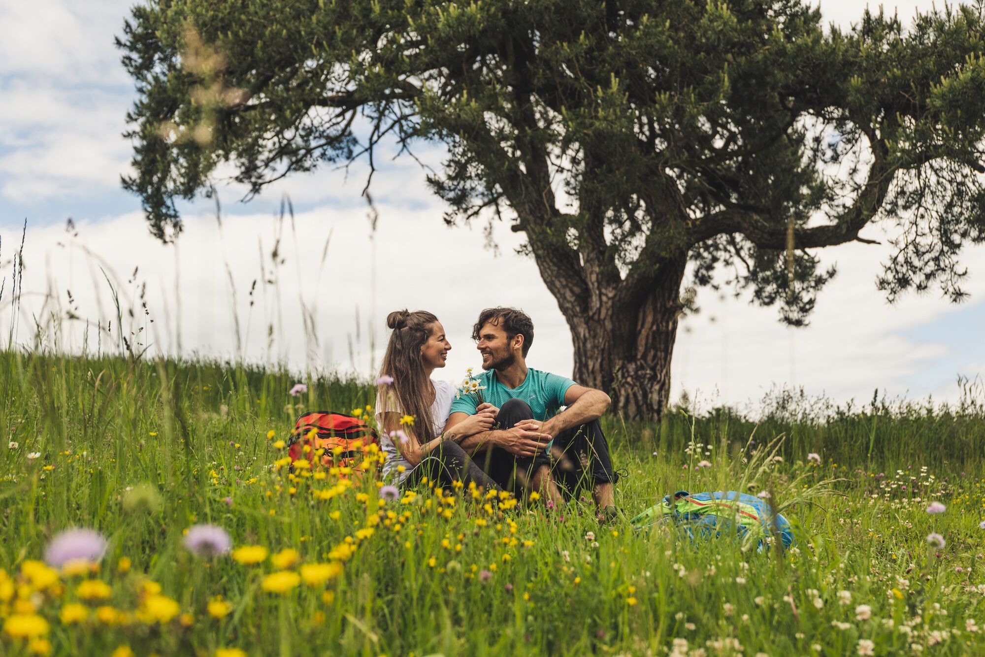
Proper backpack packing makes many things easier: Pack heavy things first. The water bottle should always be within reach in a side pocket. All the things that are often needed, such as sunglasses, camera or hiking map, belong on top. An emergency kit, including blister plasters, belongs in every rucksack and it is always advisable to dress in layers.
- Safety instructions
-
Emergency call mountain rescue: 140
ambulance: 144
European emergency call: 112
firefighters: 122
police: 133Tips when reporting an emergency – Answer these six WH questions: What happened? How many people are injured? Where did the accident happen (are there GPS coordinates)? Who is reporting the incident (callback number)? When did the accident happen? What is the weather like at the site of the incident?
- Tips
-
An extensive circular hike on forest paths to the city walk. The tour can also be hiked as a stage tour in two days.
- Additional information
-
Tourist office Thermen- & Vulkanland
Guest info Feldbach
Main square 1, 8330 FeldbachE-Mail: christine.neuhold@thermen-vulkanland.at
Web: www.thermen-vulkanland.atOpening hours:
Mon-Fri from 9-12 and 13-16 hrs.
Foyer from 6-22 h
Tours in the footsteps of volcanoes
Guided hikes or geomantic experience of the eruptive history of the volcanic land
SPIRIT of regions
Auersbach 71, 8330 FeldbachTel.: +43 664 9682882
Web: www.spiritour.at
The Styria Tours App , which is available for free on Google Play and in the App Store (Android, iOS), offers detailed first-hand information: short facts (length, duration, difficulty, ascent and descent in altitude meters, ratings), map, route descriptions, altimeter, compass, summit finder, navigation along the tour. In addition, you can create your personal favorites list of favorite tours and points, save tours and destinations offline, play on social media channels and more. - Directions
- Public transportation
-
Detailed information about arriving by ÖBB (Austrian Federal Railways) can be found at www.oebb.at or on the Verbundlinie Steiermark website www.busbahnbim.at
With Verbundlinie’s BusBahnBim route planner app, planning your journey has never been easier: simply enter towns and/or addresses, stop names or points of interest to check all bus, train and tram connections in Austria. The app is available free of charge for smartphones – on Google Play and in the App Store
- Parking


- Author
-
The tour 3 Volcanoes Trail - In the footsteps of volcanoes (3-Vulkane-Weg - Auf den Spuren der Vulkane) is used by outdooractive.com provided.


General info
-
Oststeiermark
2126
-
Feldbach
408
-
Feldbach
145