
- Brief description
-
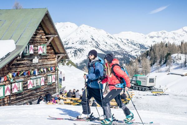
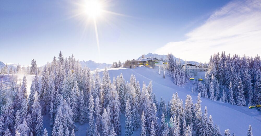
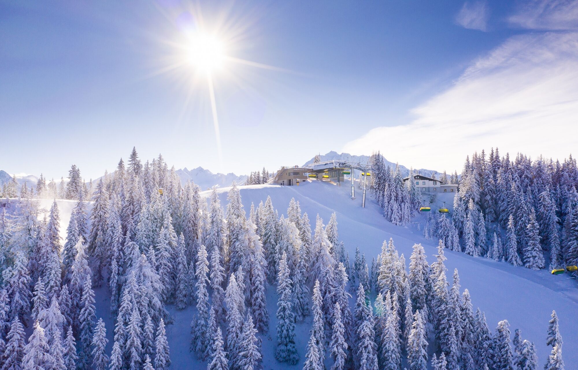
Ski tour through the forests of the famous Planai with the viewpoint at the summit.
- Difficulty
-
medium
- Rating
-
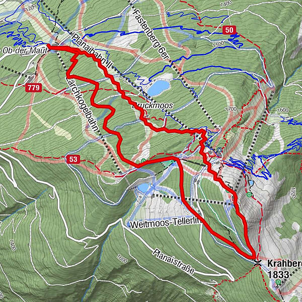
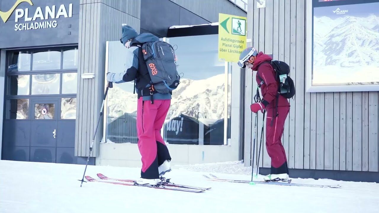
- Starting point
-
Planai middle station / Lärchkogel valley station
- Route
-
Rabbit Creek2.0 kmKrahbergsattel (1,833 m)3.4 kmPlanai (1,906 m)3.9 kmStation 2 Vogelwelt4.5 km
- Best season
-
AugSepOctNovDecJanFebMarAprMayJunJul
- Description
-
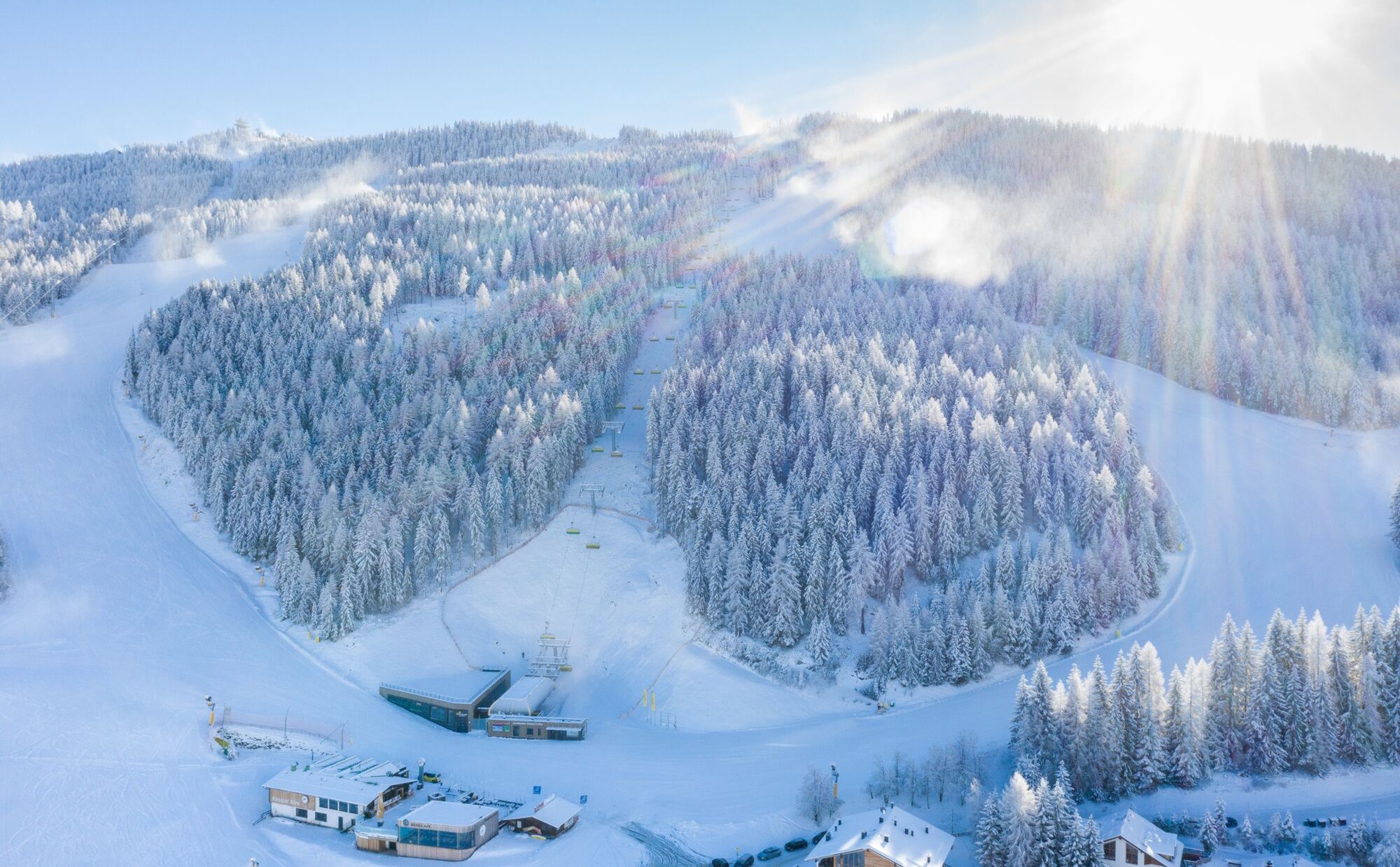
The ascent track on the Planai starts at the Planai middle station or Lärchkogel valley station and leads in the first section via the WM path up to the Lärchkogel. The trail then continues to the Planai summit at 1.906 m. As the ascent track largely leads through the forest, attention must be paid to the snow conditions off the piste. The ticket must be purchased in advance at the ticket office at the Lärchkogel valley station. Please note that the ski tour is only possible during the opening hours of the pistes. Subject to charge - ticket required! You can find the ticket prices here: www.planai.at/en/tickets-and-prices/winter-prices
- Directions
-
The ascent trail starts at the Planai middle station / Lärchkogel valley station and in the first section leads up to the Lärchkogel via the WM path.
It then continues to the Planai summit at 1.906m. Since most of the ascent trail leads through the forest, attention must be paid to the snow conditions outside the slope. The route is marked with boards - please note the guidance system and follow the signposted route.
- Highest point
- 1,902 m
- Endpoint
-
Planai Summit
- Exposition
- Height profile
-

- Equipment
-
Ski touring equipment consisting of skis/splitboard, skins and poles
Avalanche transceiver (LVS), shovel and probe
Change of bodysuit & bonnet
Sunglasses for the ascent, ski goggles & helmet for the descent
Warm gloves, possibly light gloves for the ascent
Thermos flask with a warm drink, e.g. tea and muesli bar - Safety instructions
-
Outside the opening hours of the pistes (from 8:30 a.m. to 5:00 p.m.), the pistes are generally closed due to the risk of serious accidents during the preparation of the pistes (winch, etc.). It is forbidden to drive on or enter the closed pistes. Climbing along the ski slope outside the operating hours is not permitted. There is a danger to life due to the use of winches to prepare the slopes!
GPS data and orientation aids
Available GPS data - like hiking maps - are only an orientation aid, as they can never represent an exact image or the level of detail of a path in reality. Particularly in the case of danger spots, it must therefore always be decided in the end on the basis of the conditions on site whether and what the further course of the path will be.
In an emergency, please dial the following emergency numbers:
No. 140 - for alpine emergencies - Austria-wide
No. 112 - Euro emergency call GSM emergency call serviceMountain sports are - even more so in winter - above all subject to personal responsibility. Tourism associations, mountain railways or avalanche warning services accept no liability whatsoever on the basis of information provided. The Planai-Hochwurzen lifts and the Schladming Tourist Association thank you for your understanding!
The following applies in principle: Before every ski tour or snowshoe hike it is essential to check the current weather and avalanche report - to be found at www.lawine-steiermark.at.
For detailed descriptions, please contact a local alpine school or a mountain guide: www.schladming-dachstein.at/mountainguide
- Additional information
-
Ski pass holders ask not to forget the ski pass - otherwise a ticket must be purchased from the ticket machine.
Since most of the ascent track leads through the forest, attention must be paid to the snow conditions away from the slopes.
Tourist Office: www.schladming-dachstein.at
Information about buses and cable cars: www.planai.at
- Arrival
-
By car to Schladming and further on the country road up to the Pto the toll station.
- Public transportation
- Parking
-
There are parking spaces on the right in front of the toll booth.
-

-
AuthorThe tour Ski tour Planai is used by outdooractive.com provided.