- Brief description
-
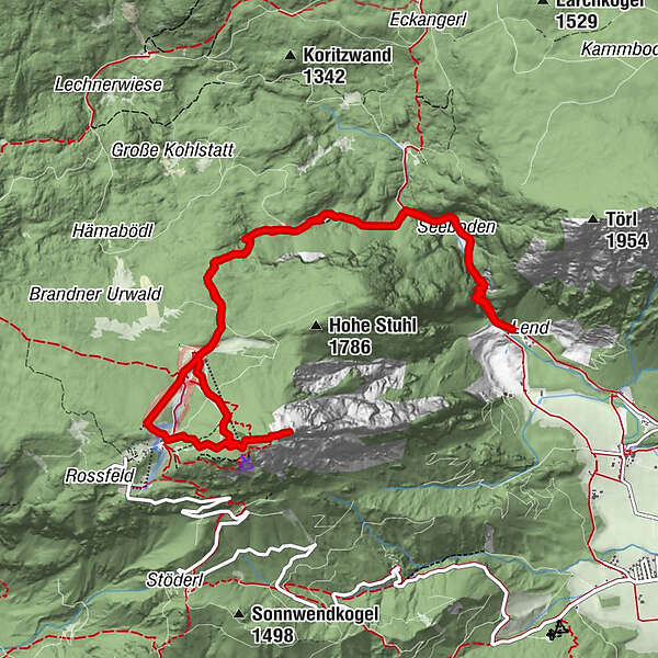
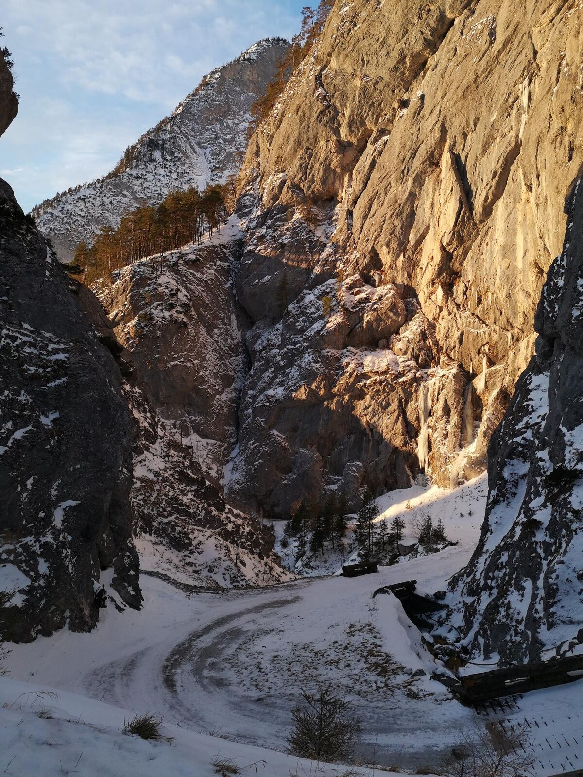
From Lend through the ovens over the Rotwandschlag up to the Stoderalm and on to the summit.
- Difficulty
-
medium
- Rating
-
- Starting point
-
Kneipp facility
- Route
-
Seeboden1.0 kmStoderalm4.3 kmBrünner Hütte4.6 kmStoderzinken6.5 kmSeeboden11.3 km
- Best season
-
AugSepOctNovDecJanFebMarAprMayJunJul
- Description
-
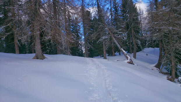
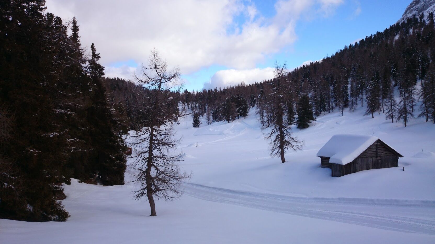
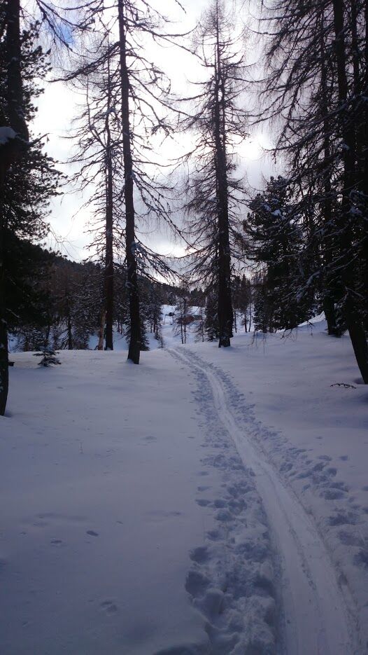
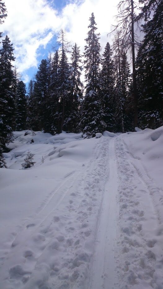
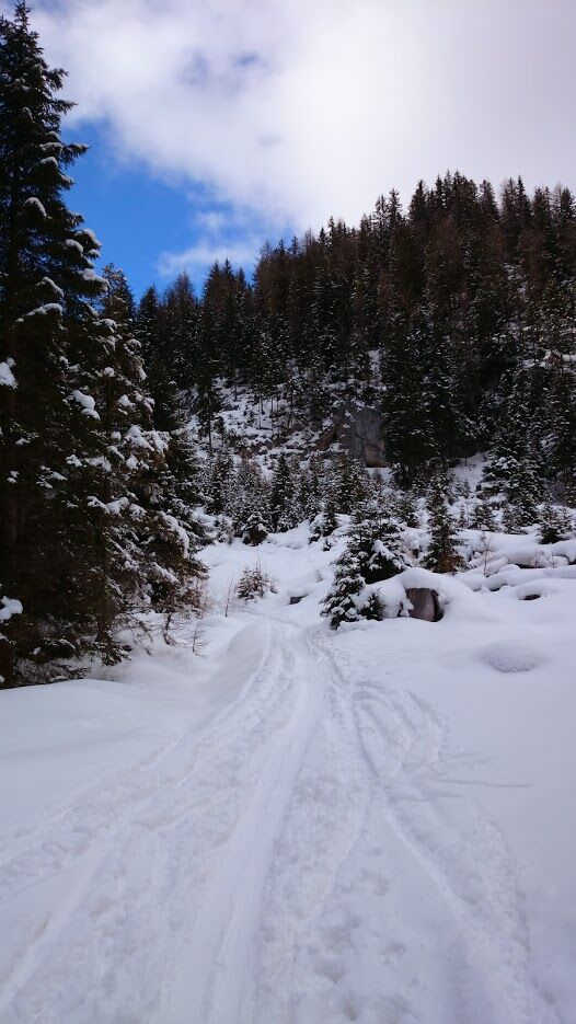
Ascend through the Öfenschlucht gorge, then turn left through the Rotwandschlag gorge to the Brünnerhütte hut and on to the Steinerhaus hut (both are unattended). Then begin the ascent to the summit cross of the Stoderzinken. Return to the valley on the same path.
We recommend a detour to the Rosemi Alm.
- Directions
-
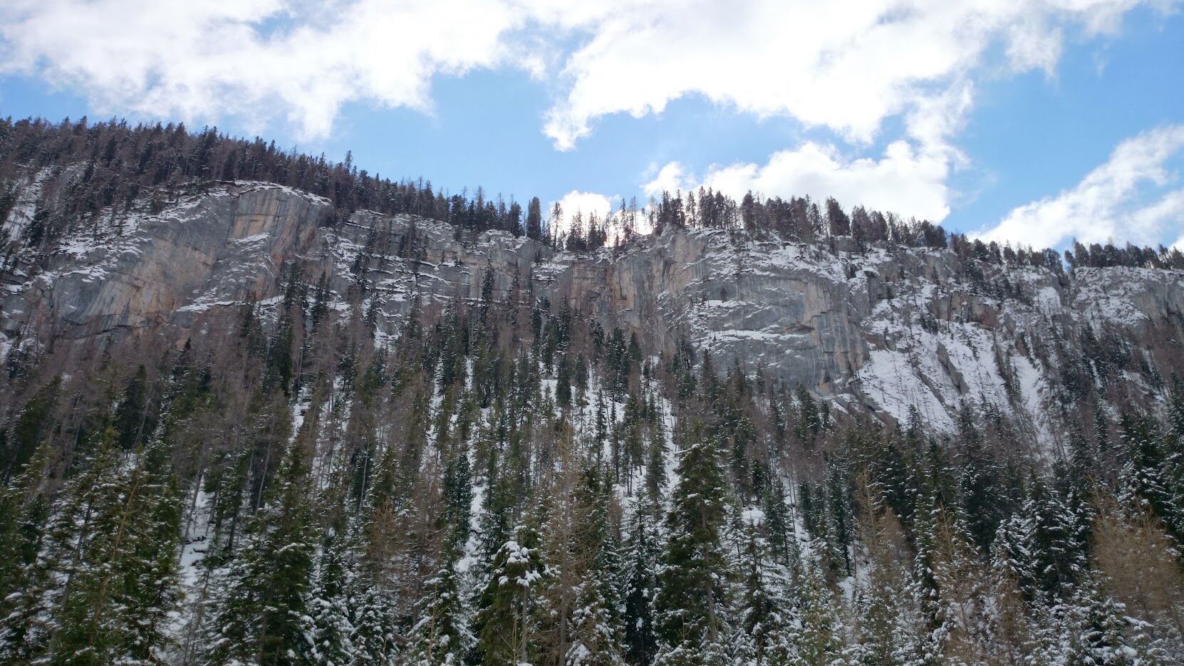
From Lend through the ovens, following the path until you reach the first pasture grate. Then keep left, through the snow-covered forest over the red wall to the Stoderalmen. Here begins the ascent to the summit, from where you have a magnificent view of the Dachstein, even as far as the Großglockner. The Hohe Tauern and Niedere Tauern mountains to the south and southwest provide a magnificent panoramic view of our natural landscape.
The descent is on the same path.
- Highest point
- 2,043 m
- Endpoint
-
Top of Stoderzinken
- Height profile
-

- Equipment
-
Avalanche beacon, probe and shovel are essential in open terrain.
Ski touring equipment consisting of skis/splitboard, skins, poles and possibly crampons.
Food, warm drinks, spare clothing and a first aid kit.
Choose your clothing according to the onion layer principle.
Maps and/or tour descriptions. GPX tracks on your mobile phone or GPS device are also helpful.
You can rent ski touring and safety equipment from Sport Mandl Gröbming - Safety instructions
-
Mountain sports and the assessment of the situation on site is your own responsibility. Tourism organisations or avalanche warning services do not accept any liability based on the information provided.
Check the weather and avalanche situation the evening before every ski tour at www.lawine-steiermark.at, avalanche mobile phone: +43 664 8105928 Don't go on a ski tour alone. It's more fun together anyway! Always behave in a risk-aware manner and react to danger signs! Observe existing regulations, e.g. hunting and wildlife protection areas, reforestation or young growth areas. You should always have a fully charged mobile phone with you. Have you also saved the emergency numbers?
Mountain rescue: 140. If you have no signal, take out the SIM card and dial 112. - Tips
-
SummitLynx- Your digital summit and hut book - available worldwide and always with you!
- Additional information
- Arrival
- Public transportation
-
Taxi Stocker: +43 6649635232
- Parking
-
Kneipp facility Lend (free of charge)

- Author
-
The tour Skitour Stoderzinken (2048m) is used by outdooractive.com provided.


General info
-
Schladming - Dachstein
250
-
Haus - Aich
124
-
Aich
16