- Brief description
-
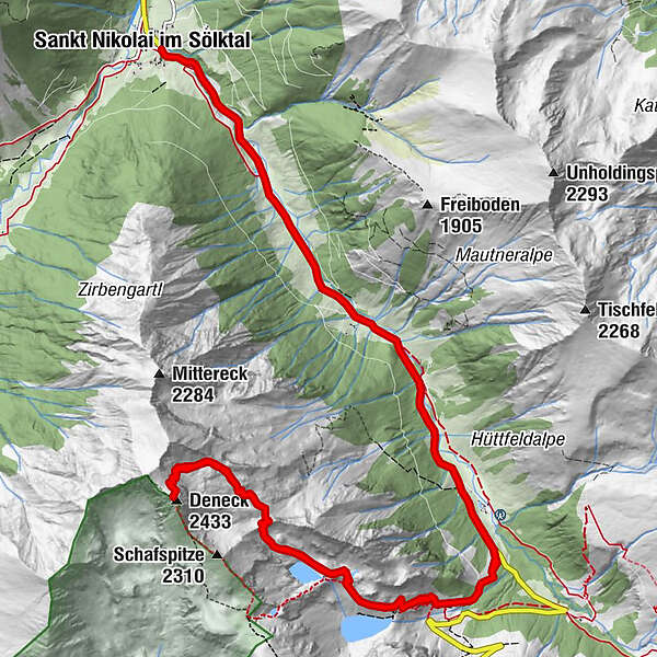
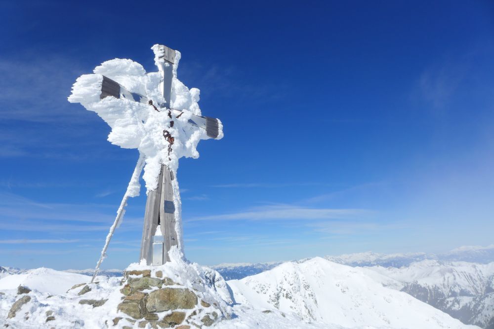
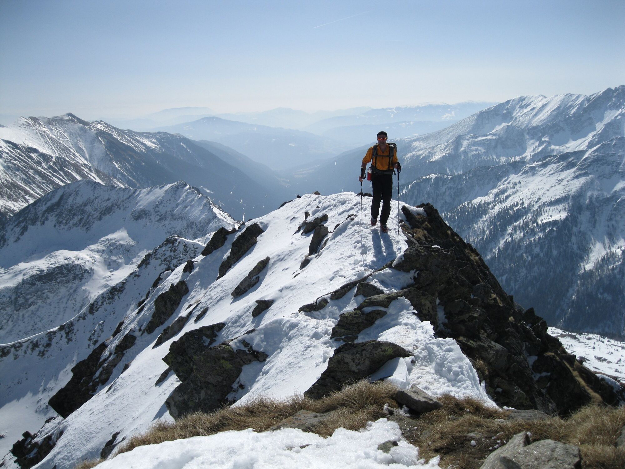
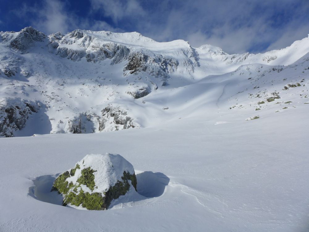
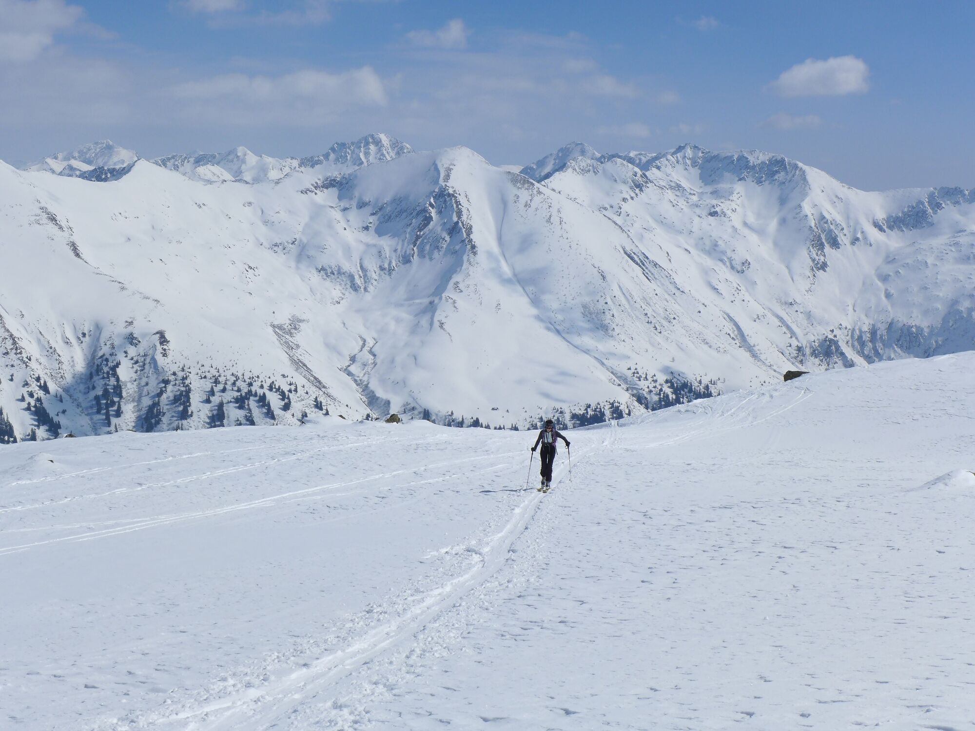
The Deneck convinces in winter as well as in summer with a varied landscape and a wonderful panorama.
- Difficulty
-
difficult
- Rating
-
- Starting point
-
St. Nikolai im Sölktal
- Route
-
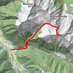
Sankt Nikolai im SölktalKaltenbachalm5.7 kmDeneck (2,433 m)9.4 kmKaltenbachalm13.2 kmSankt Nikolai im Sölktal18.8 km
- Best season
-
AugSepOctNovDecJanFebMarAprMayJunJul
- Description
-
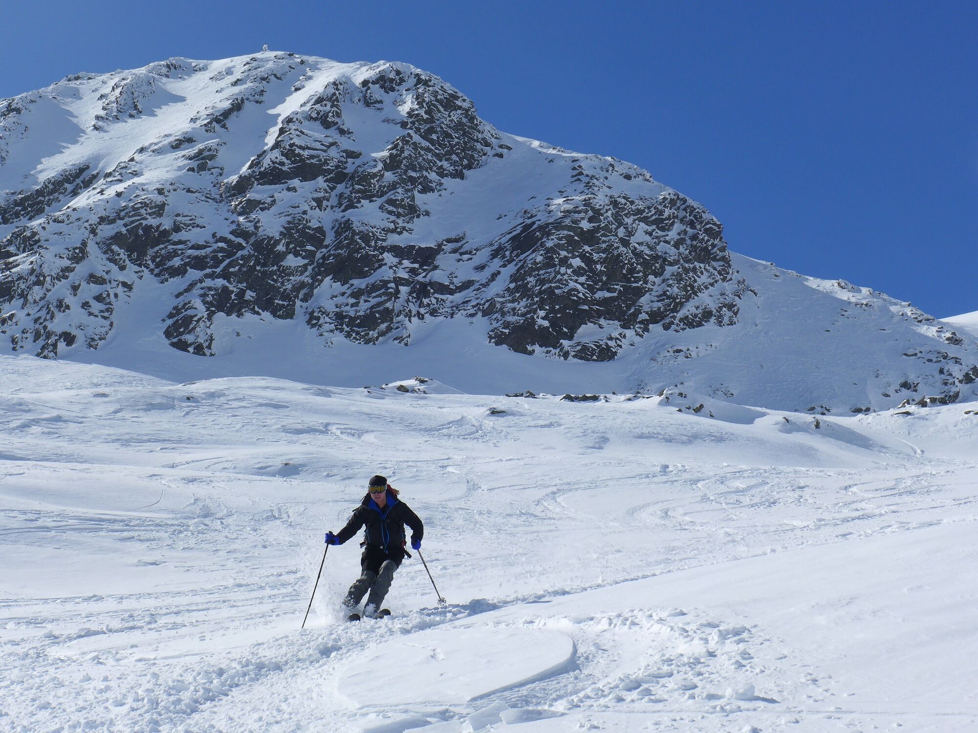
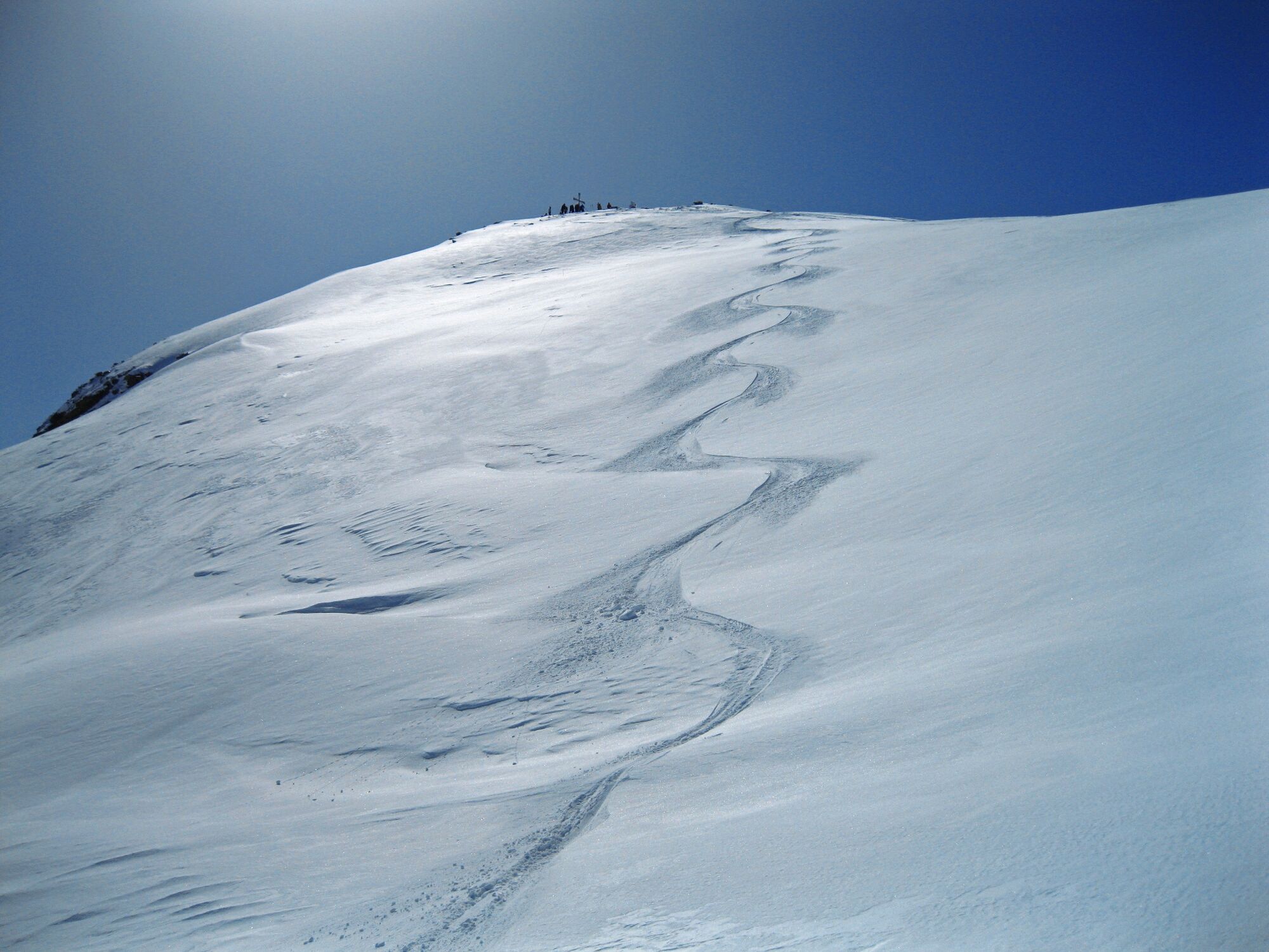
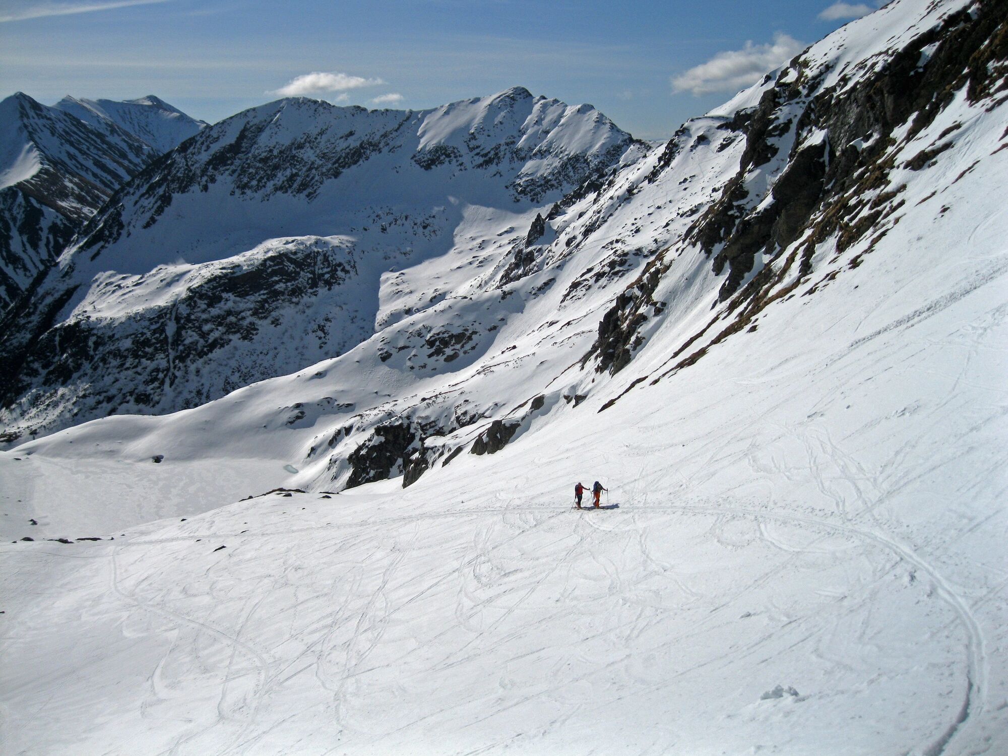
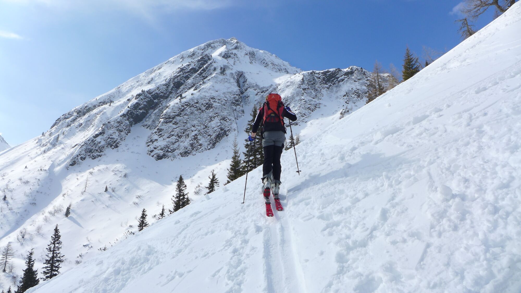
Ascent: Along the street towards the mountain rescue hut. After this hut you walk on the right side through a high forest in the direction of the Kaltenbachalm. Along the summer check marks to the Mittlere Kaltenbachsee.
From here on there are two possible variants. The first one is the easier one: you walk southwest-wards and pass the Obere Kaltenbachsee on the left side and across the Ertrachboden to the Deneck.
The second variant would be: you walk northwest-wards towards Sonnkar to the Deneck. - Directions
-
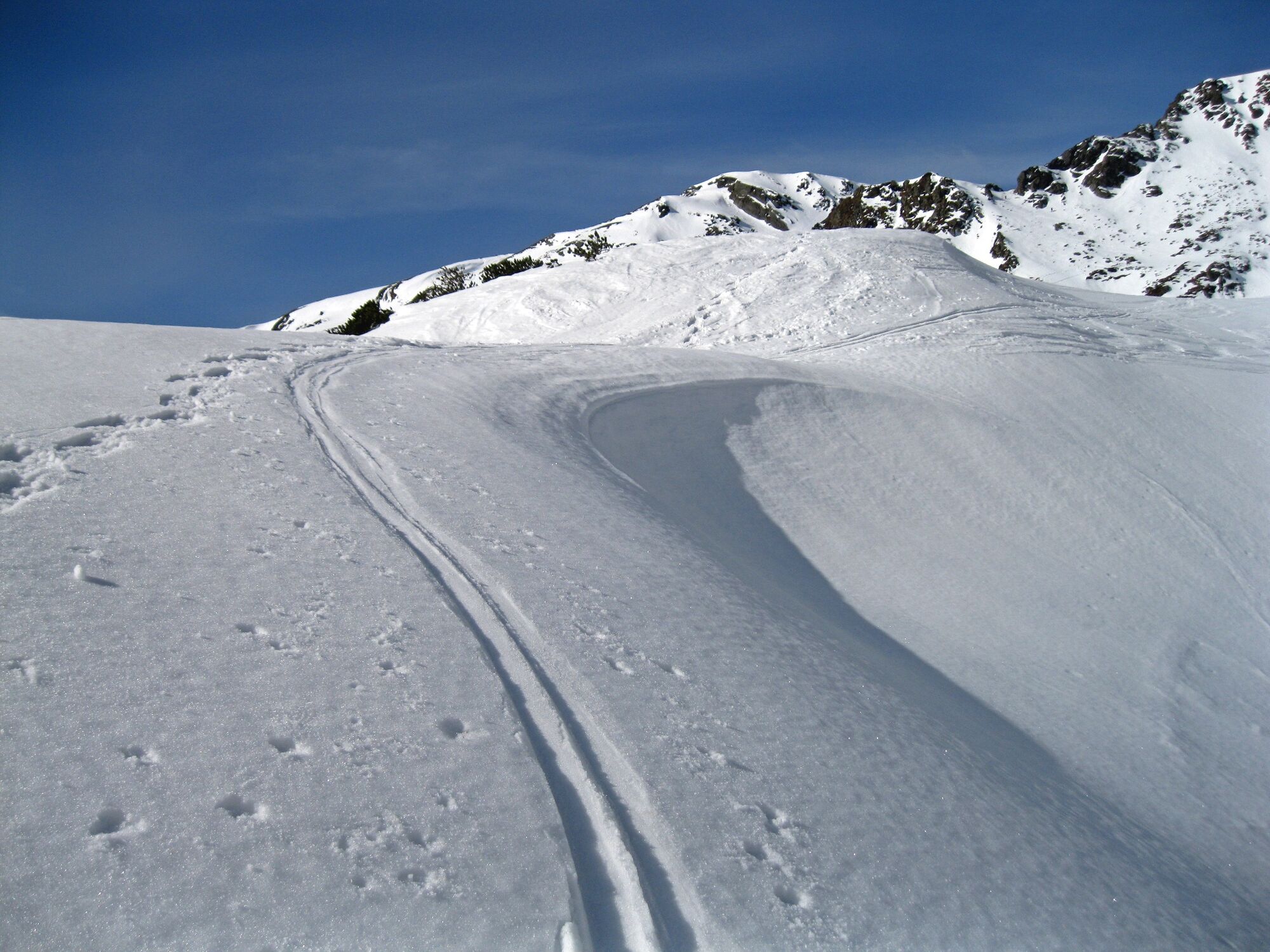
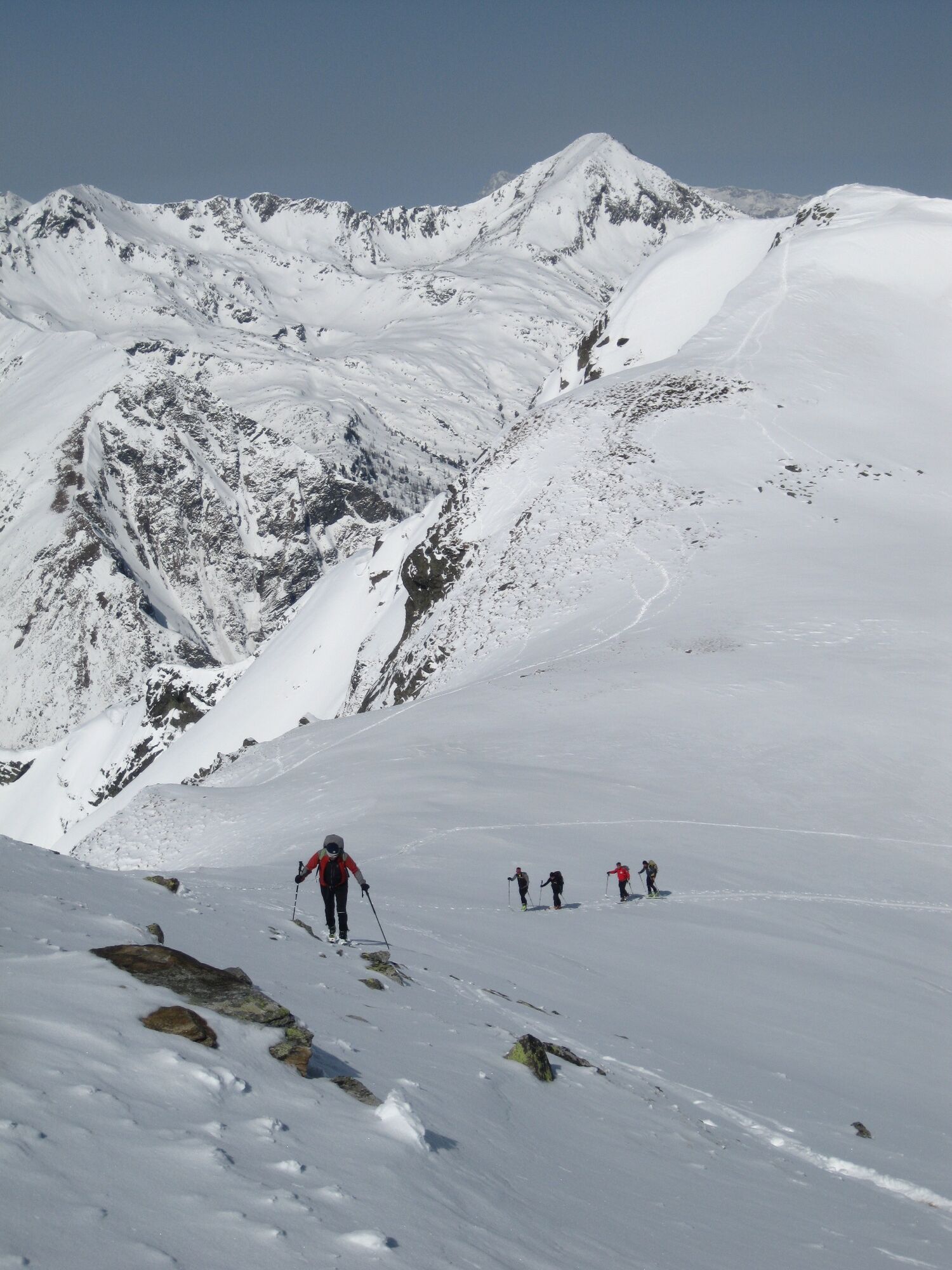
Ascent: Along the Sölkpass road in the direction of the mountain rescue hut, after this right through the sparse high forest in the direction of the Kaltenbachalm. Along the summer markings to the Mittlerer Kaltenbachsee. Continue in a northwesterly direction over the saddle to Sonnkar. In a wide curve through the Sonnkar to the summit.
For the descent there are 2 variants:
Option 1: Same as ascent
Option 2: Over the Sonnkar towards Sonnkarhütte. From here in the area of the summer path in the fall line to the road.
- Highest point
- 2,384 m
- Endpoint
-
St. Nikolai im Sölktal
- Exposition
- Height profile
-

- Equipment
-
Avalanche beacon, probe and shovel are essential in open terrain.
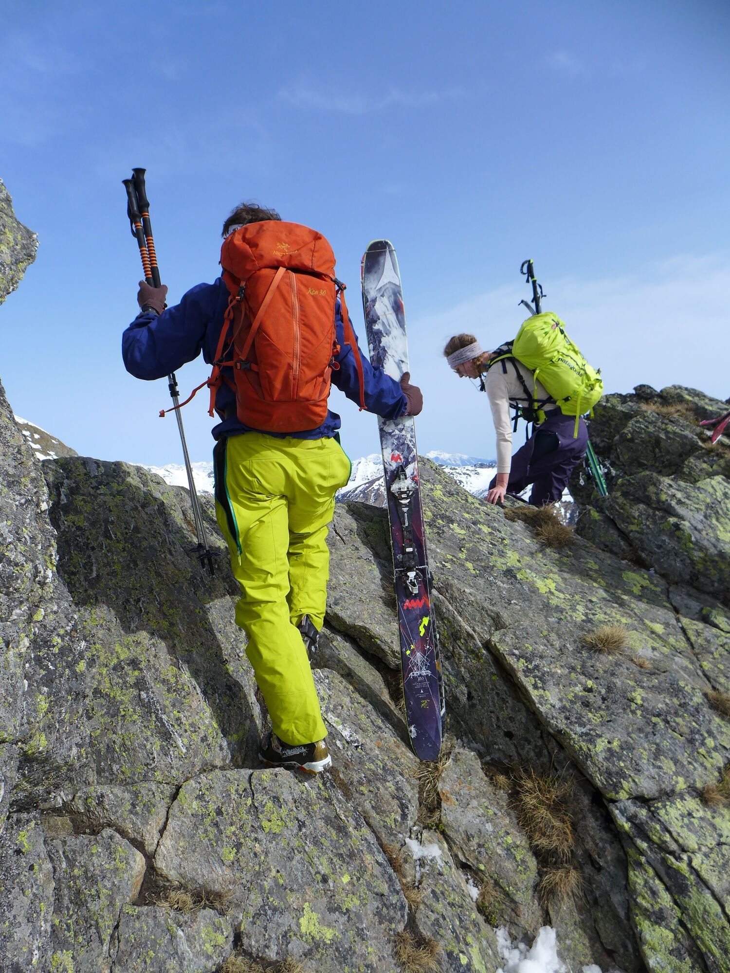
Ski touring equipment consisting of skis/splitboard, skins, poles and possibly crampons.
Food, warm drinks, spare clothing and a first aid kit.
Choose your clothing according to the onion layer principle.
Maps and/or tour descriptions. GPX tracks on your mobile phone or GPS device are also helpful.
You can rent ski touring and safety equipment from Sport 2000 Mandl Gröbming - Safety instructions
-
Mountain sports and the assessment of the situation on site is your own responsibility. Tourism organisations or avalanche warning services do not accept any liability based on the information provided.
Check the weather and avalanche situation the evening before every ski tour at www.lawine-steiermark.at, avalanche mobile phone: +43 664 8105928 Don't go on a ski tour alone. It's more fun together anyway! Always behave in a risk-aware manner and react to danger signs! Observe existing regulations, e.g. hunting and wildlife protection areas, reforestation or young growth areas. You should always have a fully charged mobile phone with you. Have you also saved the emergency numbers?
Mountain rescue: 140. If you have no signal, take out the SIM card and dial 112. - Additional information
- Directions
-
From Pruggern towards Großsölk, from there to St.Nikolai
- Public transportation
-
Train Station Stein/Enns from there with
Taxi Mayer: +43 676 60 28 107 oder +43 676 54 09 858
- Parking
-
Parking Lot St.Nikolai im Sölktal


- Author
-
The tour Deneck 2.433 m is used by outdooractive.com provided.