- Brief description
-
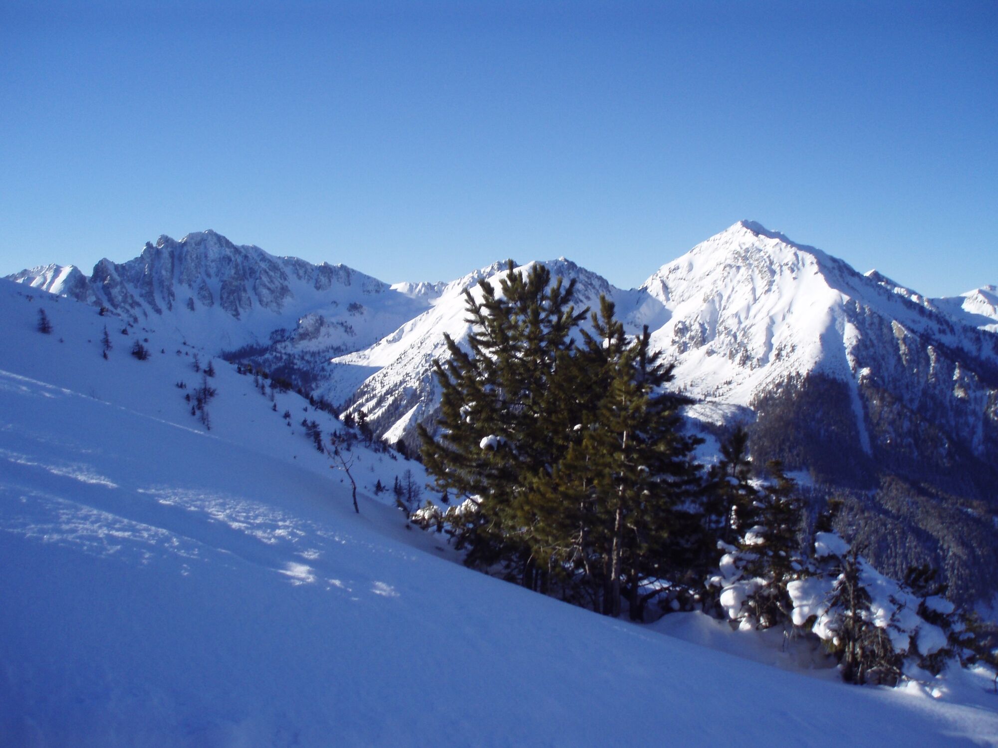
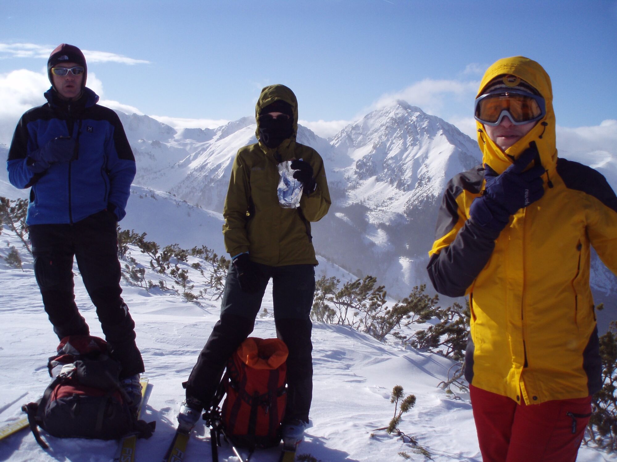
With good tracks the Lattenberg is the optimal deep snow mountain. With its neighbours Kerschkern and Griesmoarkogel in good ski touring company.
- Difficulty
-
medium
- Rating
-
- Starting point
-
Parking area Bergerhube
- Route
-
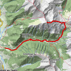
Lattenberg (2,018 m)3.6 km
- Best season
-
AugSepOctNovDecJanFebMarAprMayJunJul
- Description
-
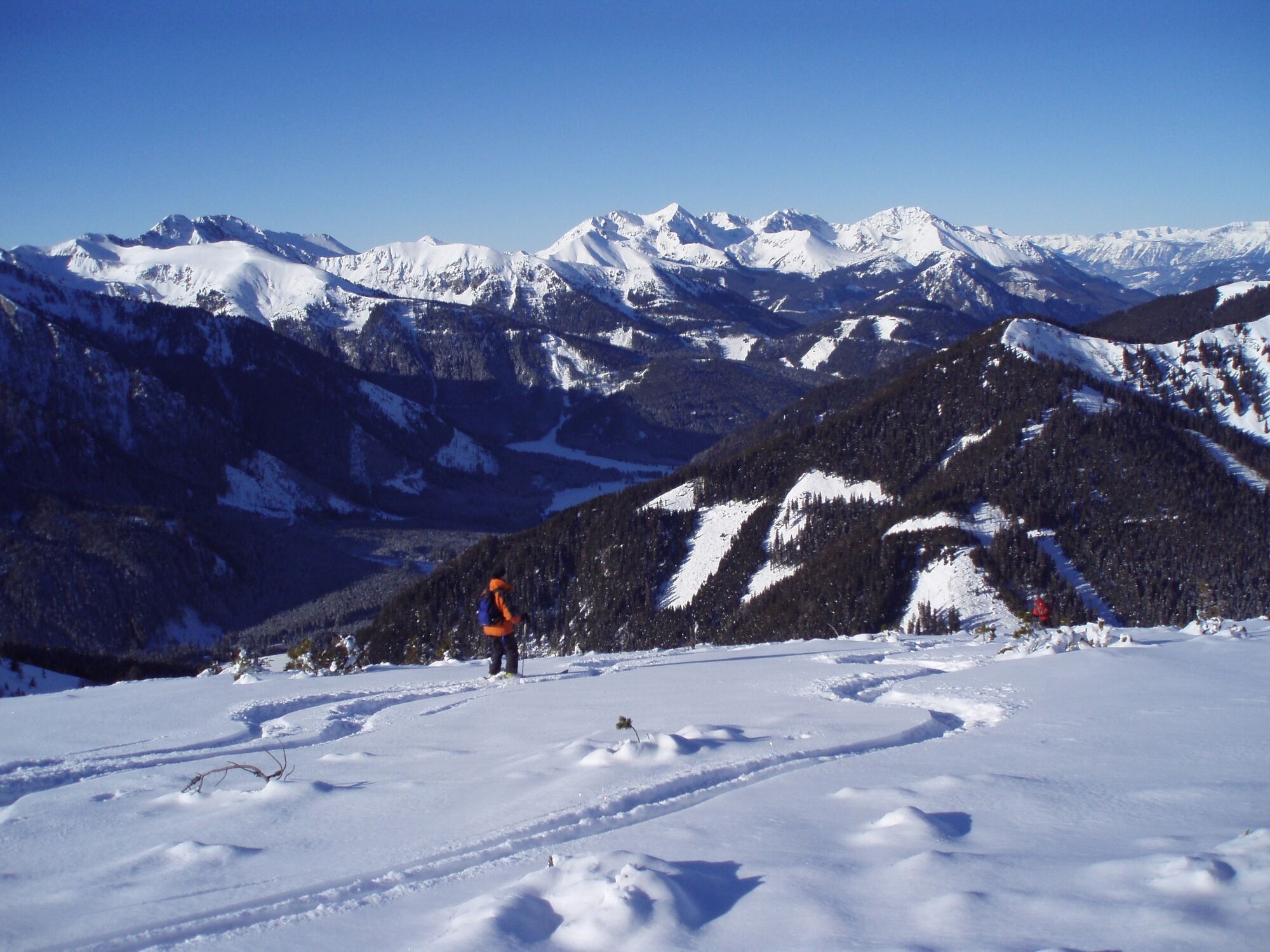
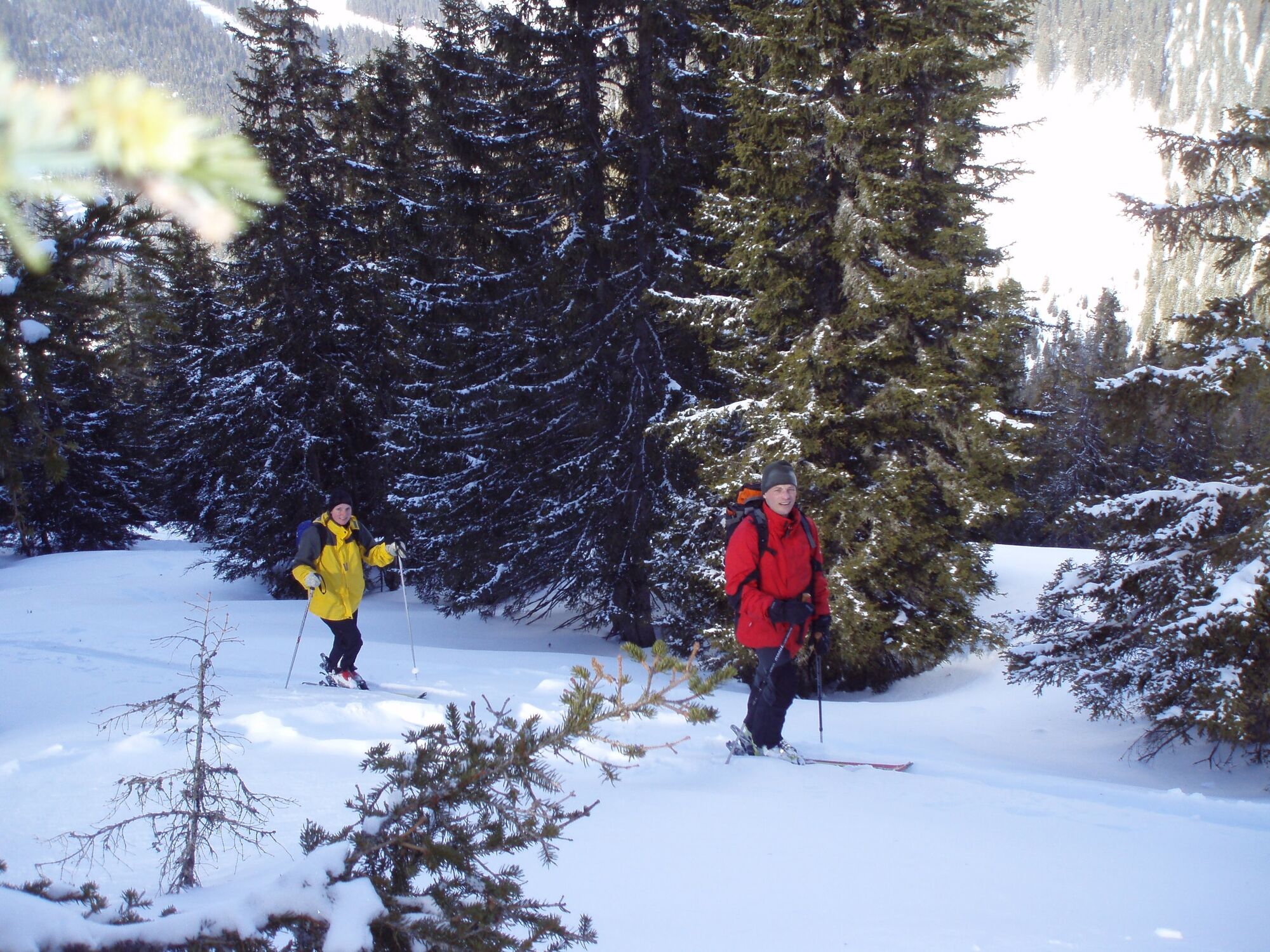
The tour to the Lattenberg first leads along a rather flat forest road. This is followed by a ridge that is easy to walk and ski on in good snow conditions. Afterwards, use a track through the forest that has been created for ski tourers. Above the timberline, the route leads over the wide, flat ridge towards the summit. The last stretch before the summit is steeper.
The wind often blows above the forest line, so the snow in this area is sometimes wind-blown.
- Directions
-
From Bergerhube, follow the forest road in the direction of Moaralm. At the first sharp right-hand bend at about 1300m, follow the road straight on. For about 40 metres in altitude, as long as the path rises slightly, stay on it. As soon as the trail flattens out, leave it and head NW until you reach the forest road again. Now the forest road leads briefly downhill, you follow the road for a short while until you see a ridge with a clear cut on the right. Climb over this ridge. Do not go too far to the left, as there is a game resting zone at the feeding area.
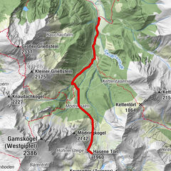
You climb safely 200 metres in altitude over this ridge. In the forest that follows, there is a small track that is easy to follow. This area can also be used for the descent. You reach the timberline via this track. Here you follow the wide ridge. The last part to the summit is over the northern ridge to the Lattenberg. Watch out for the cornices in the direction of Liesingkar.
- Highest point
- 1,999 m
- Endpoint
-
Parking Area Bergerhube
- Exposition
- Height profile
-

- Equipment
-
Emergency equipment:
Burial tool, shovel, probe.
First aid kit, 2 man bivouac sack, tape, headlamp
Signal cartridges, storm fuse, candle
Tools (Leatherman)
Wax for skis and/or skins
Crampons
Thermos bottle or normal drinking bottle
Clothes, suitable for the weather
Gloves, spare gloves
Bonnet
Sun cream, sunglasses, goggles
Topographic map of the area
GPS
drink, food
- Safety instructions
-
You are in alpine terrain on every ski tour, so alpine dangers must be taken into account.
Consistent tour planning is required for every tour:
Weather report: www.zamg.at , www.alpenverein.at , www.yr.no
Avalanche situation report: www.lawine.at
The avalanche situation always depends on the current conditions. Ascent and descent tracks must be carefully planned and selected.
Often the wind is very strong above the timberline. In poor visibility, orientation above the timberline is a challenge.
Pay attention to the game rest zone!
Avalanche seminars, ski technique courses for ski tourers and guided tours:
- Tips
-
Bergerhube, don´t miss the soup!
- Additional information
- Directions
-
From the north
On the A9, the Pyhrnautobahn, take the Trieben exit. From there, take the B 114 in the direction of Judenburg to Hohentauern. After 6 km turn left into the Triebental. Follow the road to the end to Bergerhube.
From the south
Take the S36, the Murtalschnellstraße to Judenburg, continue on the B 317 to the turn-off for the B114 towards Liezen. Follow the road until Hohentauern (approx. 35 km). Drive 3 km in the direction of Trieben. Turn into the Triebental on the right-hand side. Follow the road to the end to Bergerhube.
- Public transportation
- Parking
-
Large Bergerhube car park, chargeable


- Author
-
The tour Lattenberg, der unscheinbare Wunderbare is used by outdooractive.com provided.