
- Brief description
-
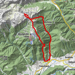
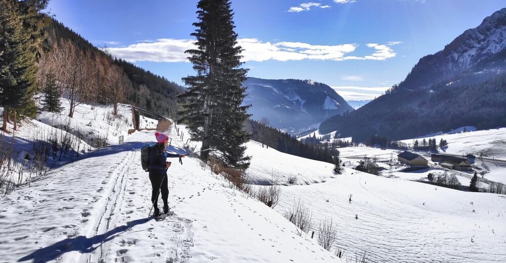
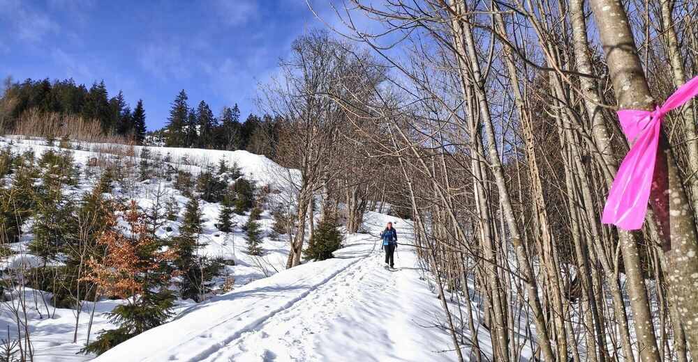
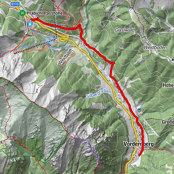
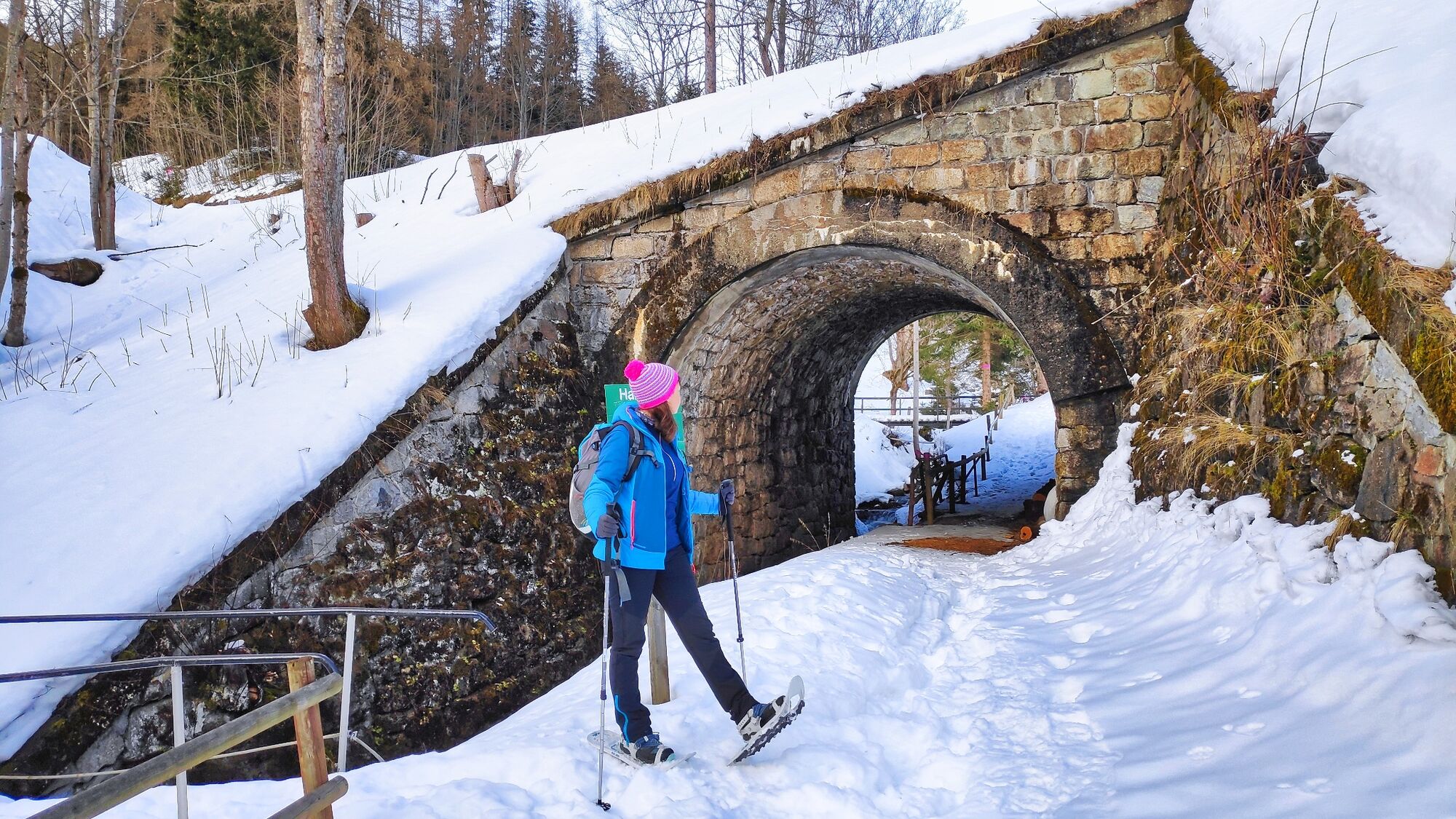
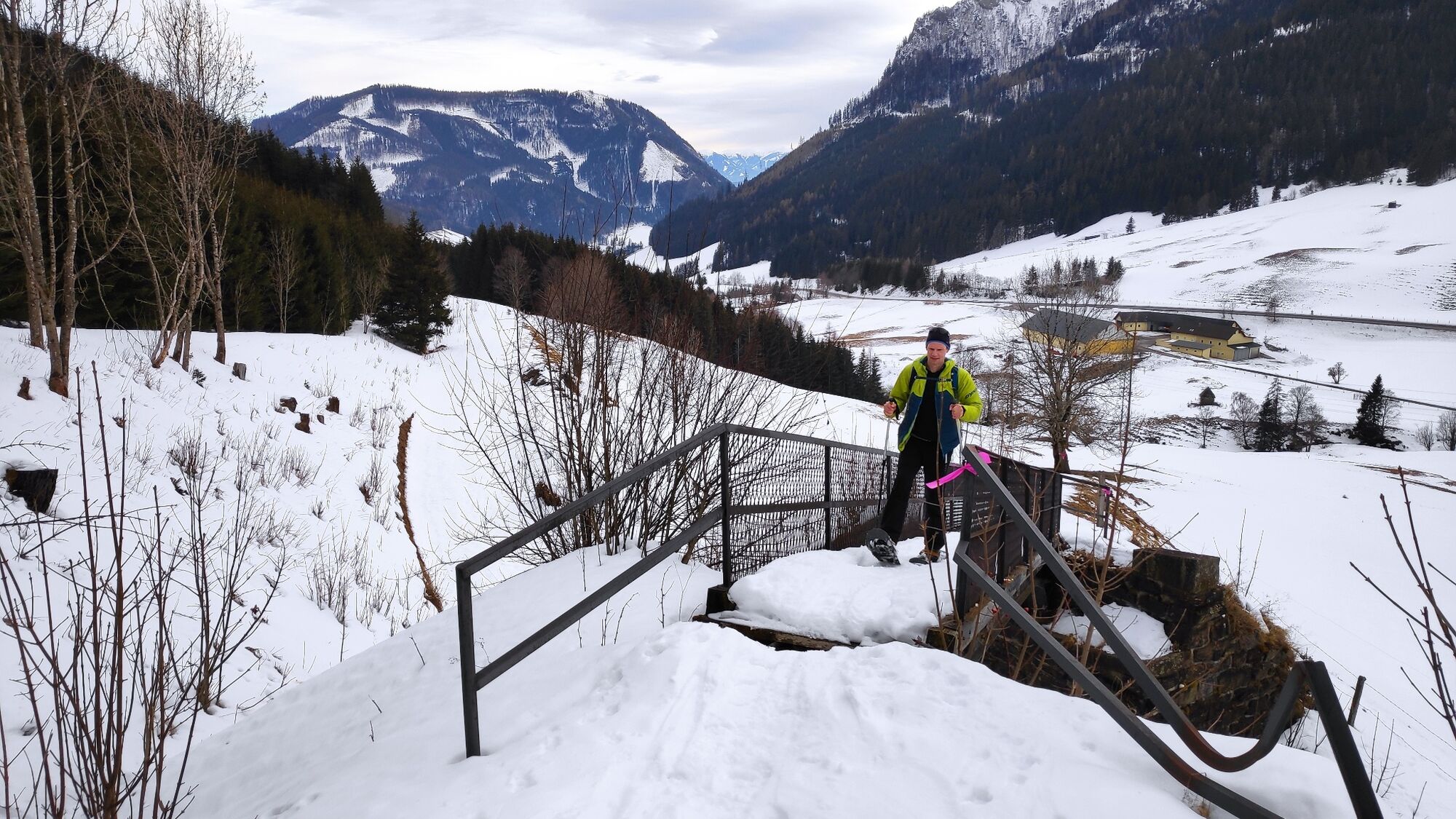
The snowshoe trail begins with the bus ride from the main square in Vordernberg to the Präbichl Passhöhe. From the bus stop near the mountain rescue follow the marking "Erzwanderweg".
- Difficulty
-
medium
- Rating
-
- Starting point
-
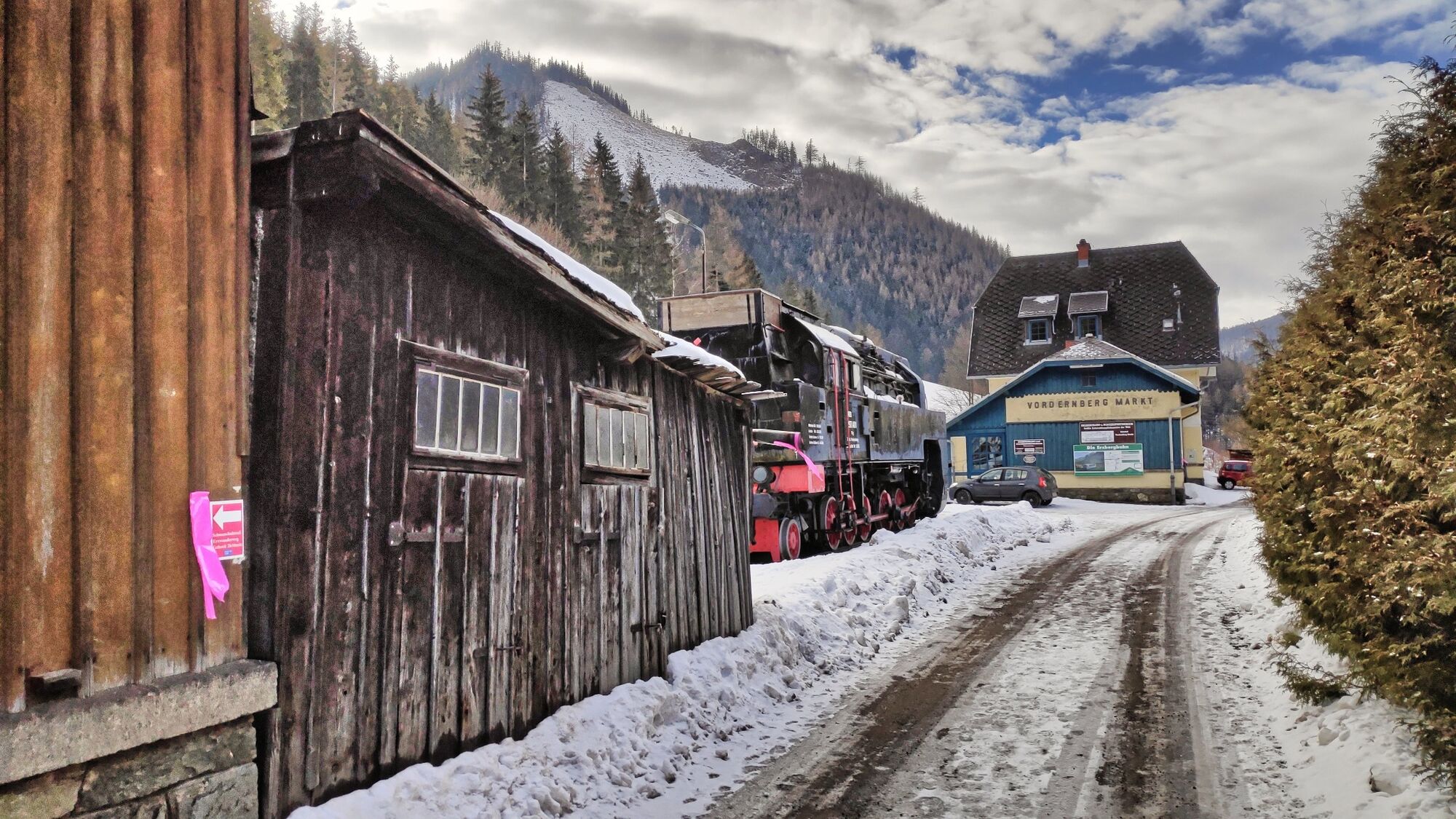
Vordernberg train station
- Route
-
Vordernberg6.1 km
- Best season
-
AugSepOctNovDecJanFebMarAprMayJunJul
- Description
-
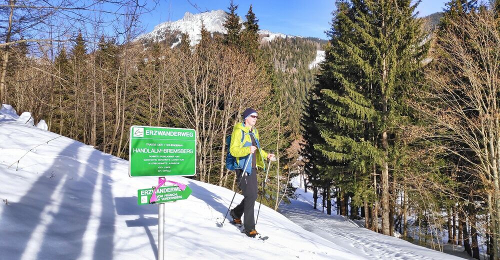
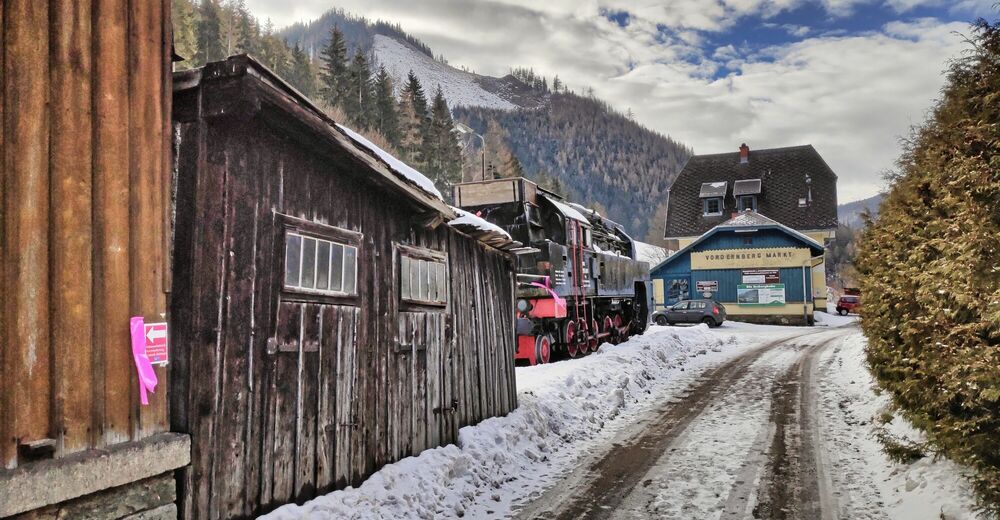
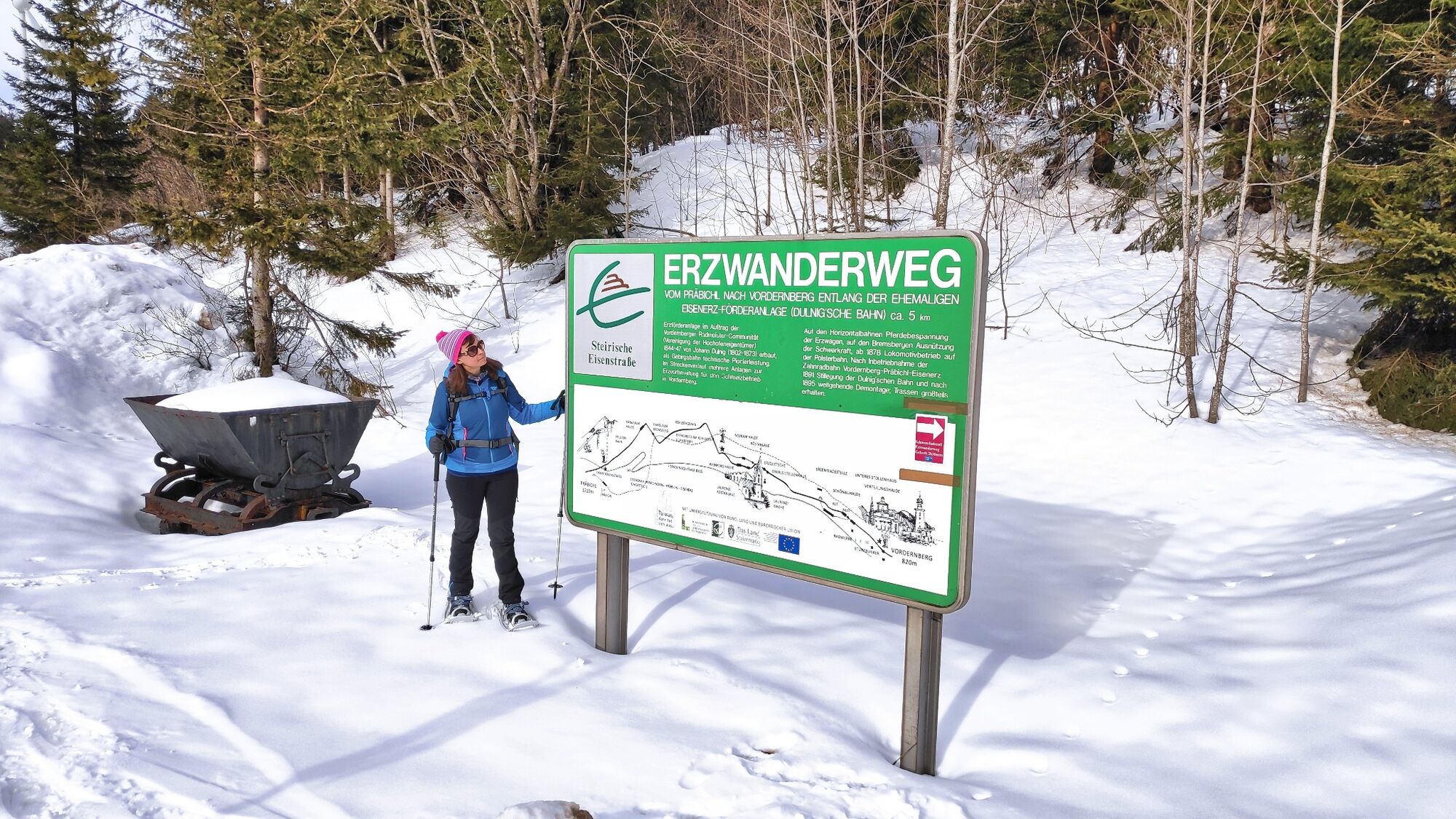
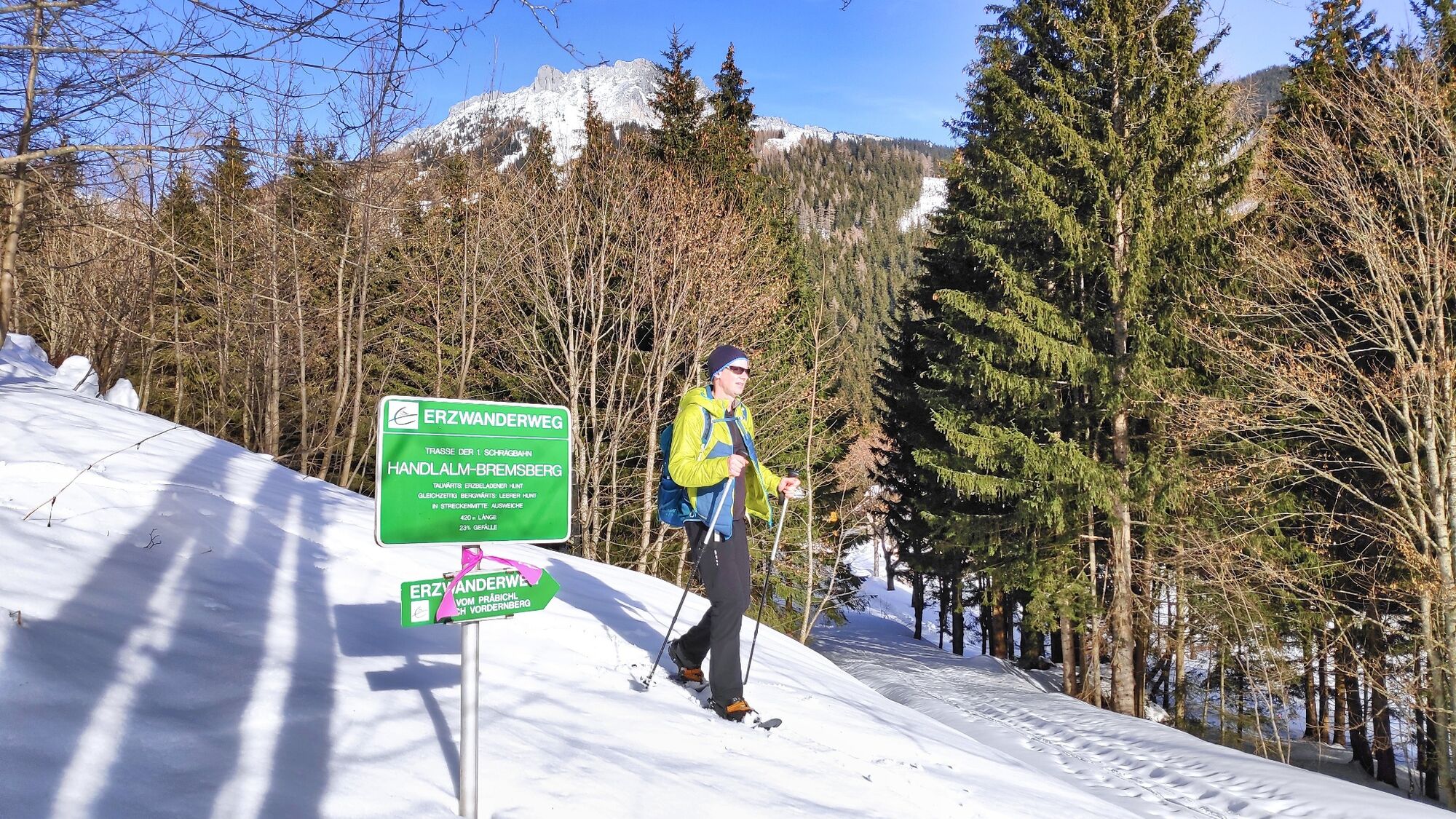
The processing of ore at the Styrian Erzberg is inseparably linked to the economic history of Styria. While in the early Middle Ages iron production still functioned in manageable quantities around the Erzberg, the situation changed in the second half of the 13th century with the use of water power. With it, production could be increased significantly. The big challenge now was the transport from the mountain via Präbichl to the wheel works in Vordernberg, where the ore was smelted into pig iron. In 1844, Archduke Johann commissioned his brother-in-law, Johann Dulnig, to build an ore conveyor railroad. The Dulnig ore railroad was unique in the world. It consisted of a continuous rail system with 5 horizontal tracks and 2 inclined elevators ("Bremsberge"), as well as ore magazines, stockpiles and a roasting plant.
- Directions
-
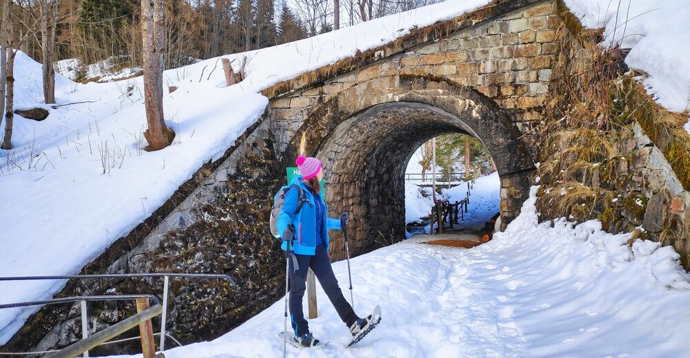
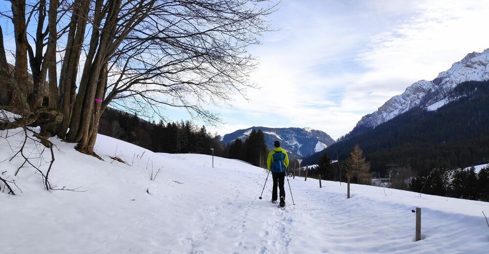
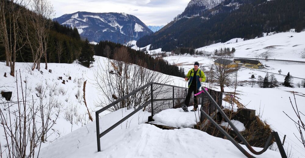
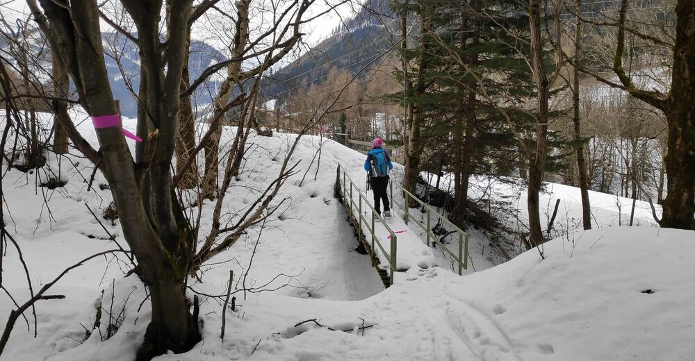
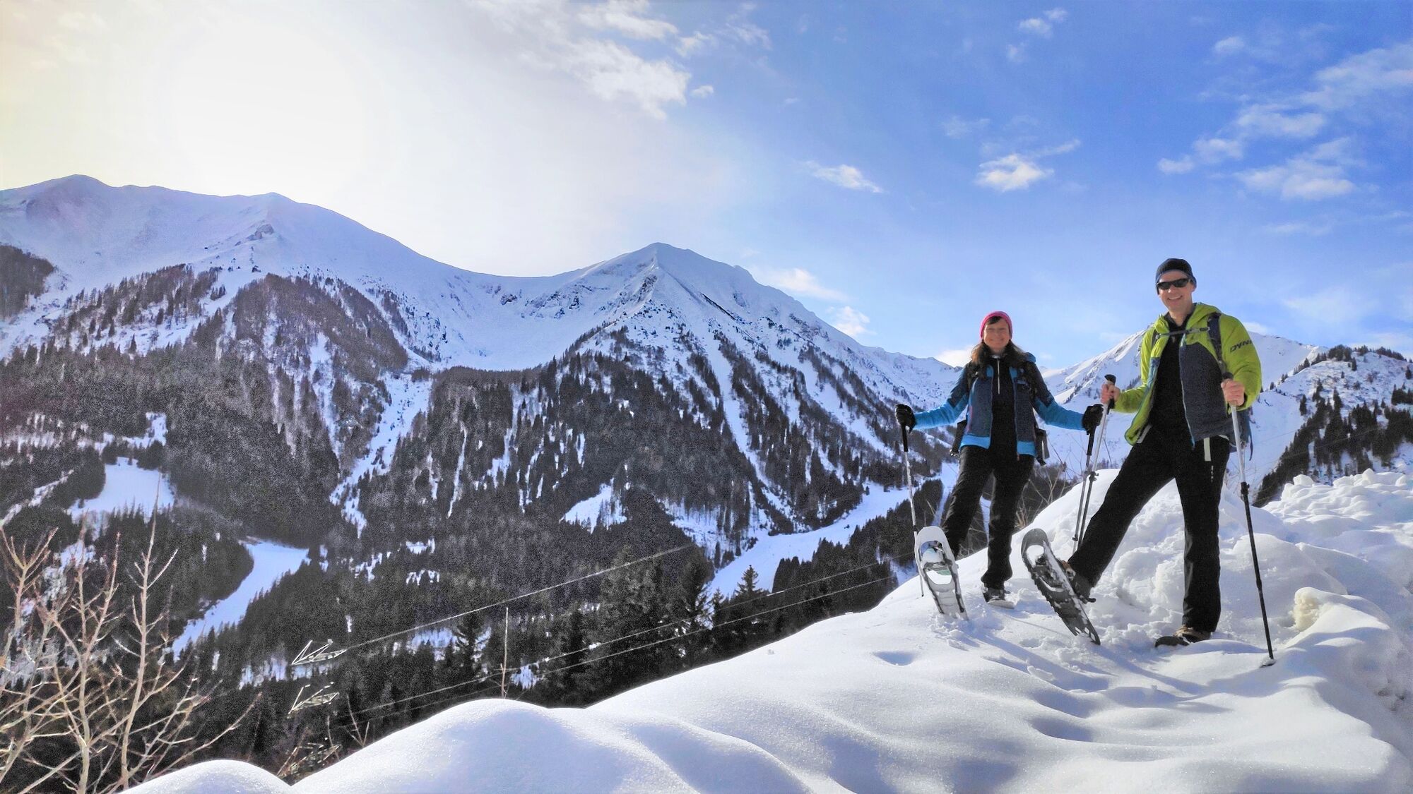
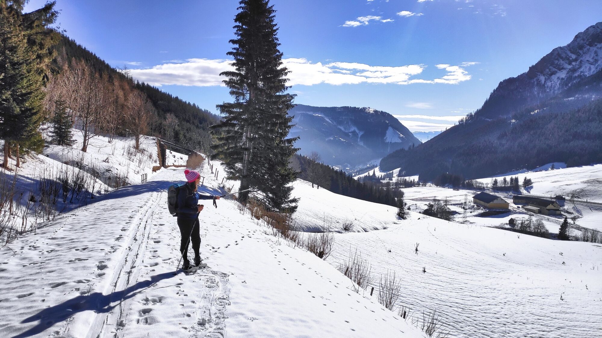
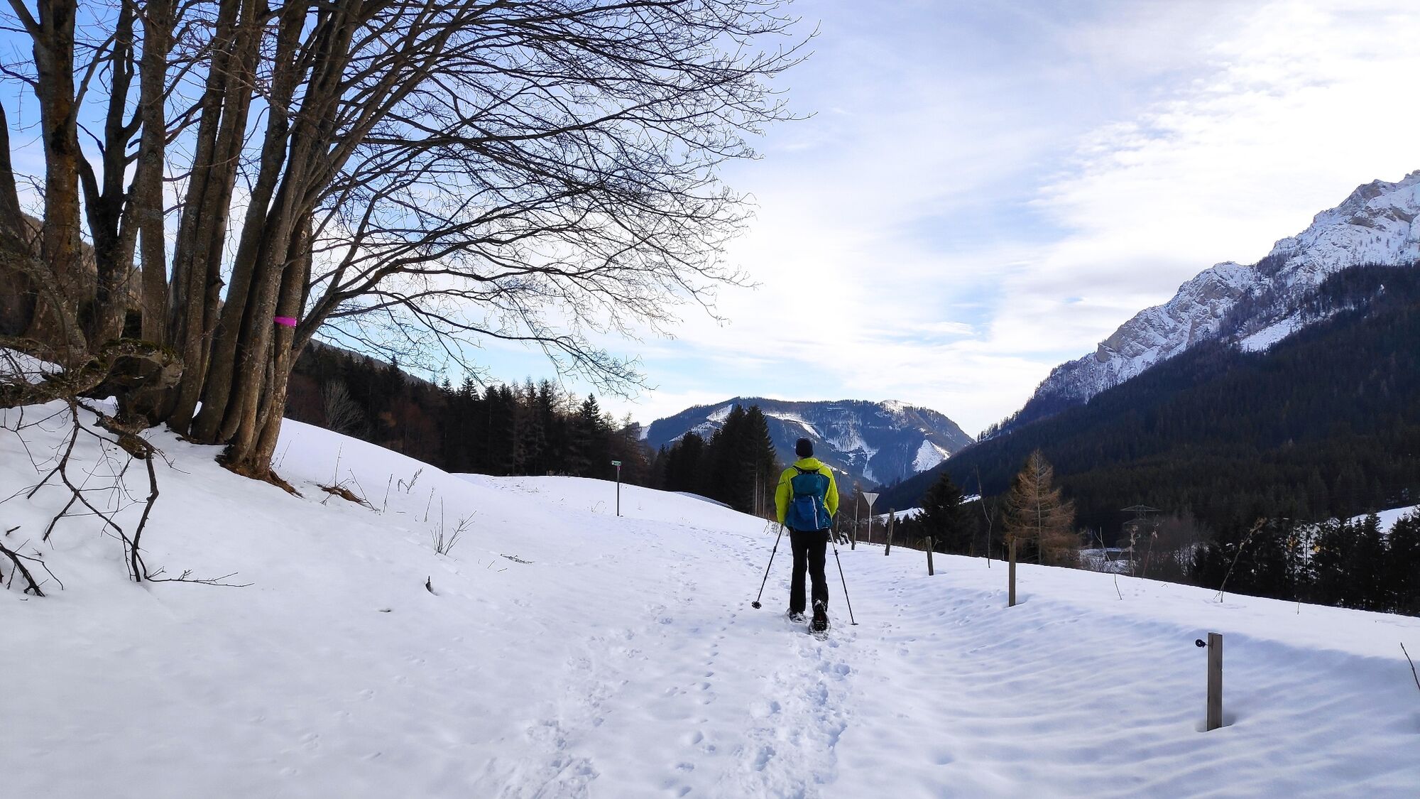
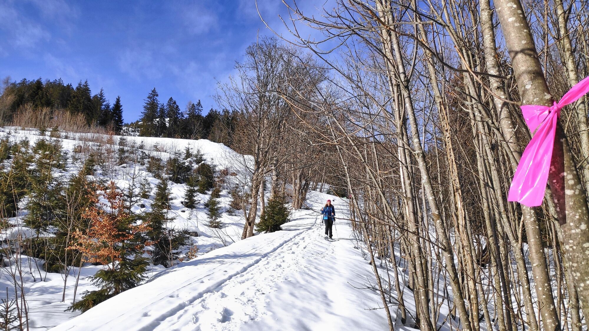
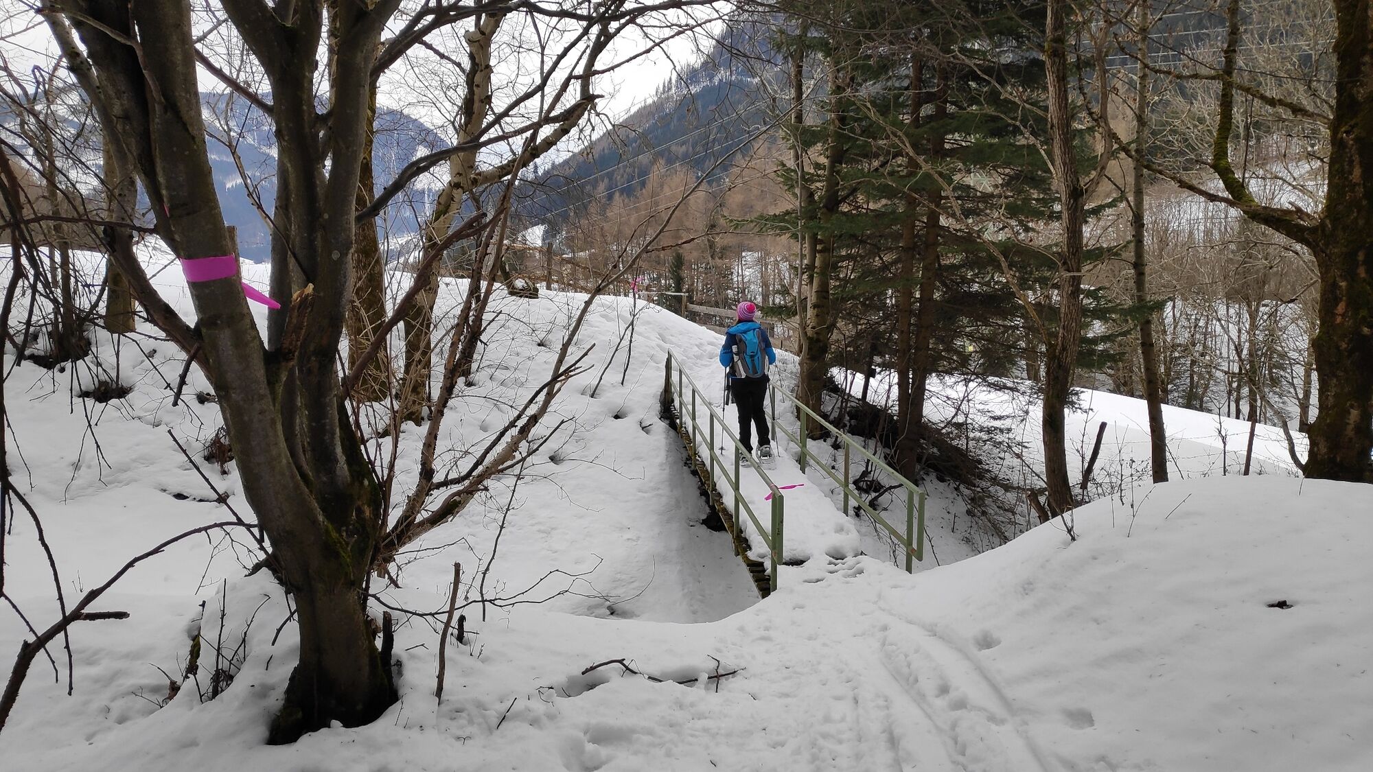
The snowshoe tour starts with the bus ride from the main square in Vordernberg to the bus stop Präbichl Passhöhe (bus runs every hour). From the bus stop near the mountain rescue building we start. We follow the marking "Erzwanderweg". A narrow trail leads up to the running road and along it in the direction of Handlalm. At the end of the road we go under the ski slope to the Handlalm brake house. Here it goes down a bit steeper to the next flat railroad track. The entire trail is well marked and very varied. Ideal for families with children. After about 2 ½ hours of walking we reach the station of Vordernberg, where it goes back down to the starting point at the main square.
- Highest point
- 1,225 m
- Endpoint
-
Präbichl - bus stop Passhöhe
- Height profile
-

- Equipment
-
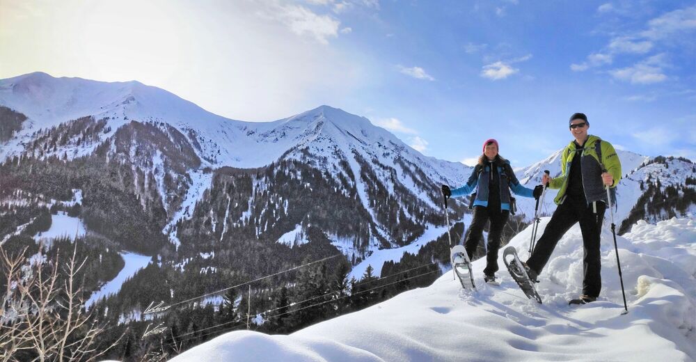
Apart from the most necessary equipment, such as snowshoes, poles, etc., we recommend that you bring orientation aids (bus pole, map, GPS), avalanche transceiver, probe and shovel. We have taken this checklist from the Rother Snowshoe Guide Styria and summarized it for you, so that it will be helpful for your next snowshoe hike. Snowshoes Telescopic poles with snow plate Waterproof mountain boots or lined winter mountain boots Backpack: If the snowshoes have to be carried, a backpack with a lid buckle is necessary. Gloves: waterproof and warming Headgear Gaiters: If there are no closable leg cuffs on the pants. Pants: Ski pants are rather not recommended, because they are often too warm, but we need waterproof and warming pants. Warming outerwear: Onion layering system, t-shirt, sweater, jacket and winter jacket with hood. Sunglasses: Very important, as snow reflects up to 95% of the light. Creams: Protective measures for the skin are important against both the sun and the cold. Headlamp: In winter it gets dark early, especially in the forest it can often be very dark when dusk begins. Thermos: On cooler days a warming drink is pleasant. Snack First aid kit
Other important items of equipment:
Cell phone Tour description Map: For overview a map in scale 1:50.000 of the respective region and a detailed plan of the hike GPS deviceavalanche transceiver (LVS), shovel and probeThis list and also the safety instructions have been summarized by the authors of the Rother Snowshoe Guide Styria. You are welcome to use these texts, but we kindly ask you to mention the copyright "Rother Schneeschuhführer Steiermark".
- Safety instructions
-
When choosing a snowshoe tour, weather, snow and avalanche situation are essential criteria. Basically, the decision of the tour depends on your own experience and basic physical condition. In advance, factors such as weather, avalanche situation report and equipment must be clarified in detail. A clear description of how to prepare for a snowshoe hike can be found in the Rother Snowshoe Guide Styria from page 14 to 20. Even if you have prepared perfectly, you must also take into account the given weather and snow conditions and the physical condition of the day during the hike itself. Thus, there is one important basic rule: please turn around if the hike becomes too strenuous or if the external conditions require it.
Walking times: The indicated walking time is to be understood as a guideline, as it depends on the snow conditions, the terrain and the presence of a trail. The individual condition and the stamina for strenuous trail work also play an important role. Sometimes the duration of the tour can change considerably due to large amounts of new snow, broken slush, soft sulzing snow, etc.
Alpine emergency call: Mountain rescue emergency number: 140 EU emergency call: 112
Avalanche info: www.lawine-steiermark.at
Weather service: www.zamg.ac.at
Direct link mountain weather Styria: https://www.zamg.ac.at/cms/de/wetter/produkte-und-services/bergwetter/steiermark
- Tips
-
The Erzwanderweg is also an interesting hiking trail in summer, following in the footsteps of Erzherzog Johann.
- Additional information
- Directions
-
From St. Michael in Upper Styria on the B115 via Traboch and Trofaiach to the train station in Vordernberg (20 km, approx. 20 minutes).
From Eisenerz on the B115 via Präbichel to the train station in Vordernberg (15 km, approx. 20 minutes).
By car to snowshoeing - a few things to watch out for!
- Good winter tires are an absolute MUST!
- Ice scraper, snow broom, de-icer for the door locks and a small shovel belong to the basic equipment.
- Put snow chains and a tow rope in the car, even if you are not good with them yourself. Helping and knowledgeable hikers are always available on the mountain!
- Clear the car completely of snow and ice, especially sweep off the roof of the car completely.
- When parking, make sure you leave room for other motorists.
- Always park so that the rest of the roadway remains clear for cars, logging trucks, and snow removal vehicles.
- Find out about the snow situation on the access road or parking facilities before setting off. (hut host, webcams)
- Public transportation
- Parking
- Author
-
The tour Erzwanderweg is used by outdooractive.com provided.


General info
-
Erzberg Leoben
73
-
Hochschwab
36
-
Präbichl
10