
- Brief description
-
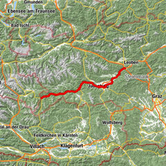
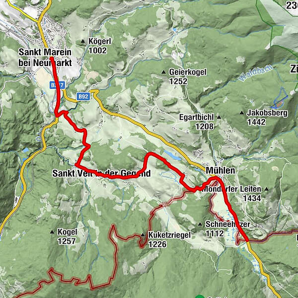
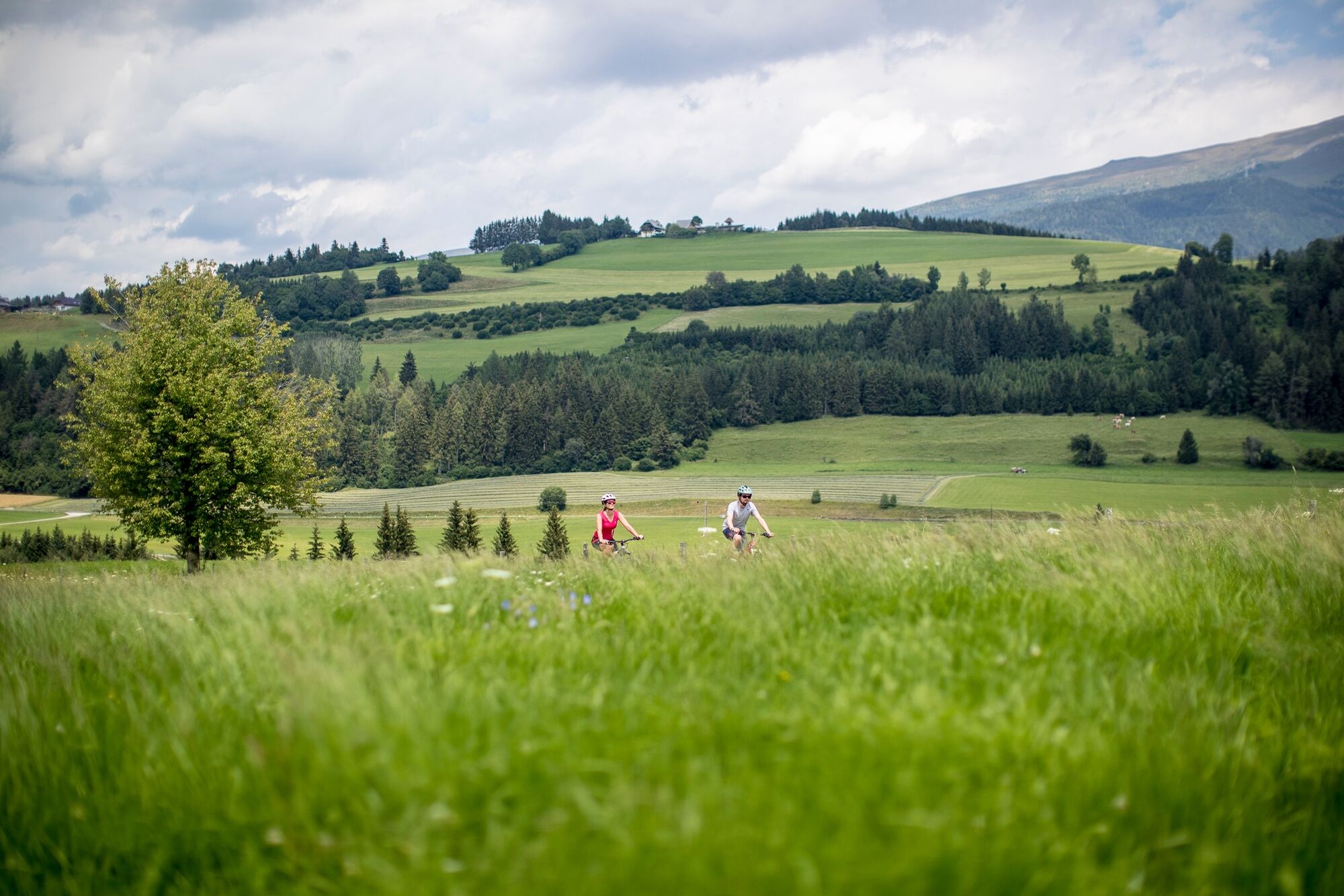
The Norische cycle path leads from the parking lot in St. Marein near Neumarkt via the Hammerl and St. Veit in the area to Mühlen.
- Difficulty
-
medium
- Rating
-
- Starting point
-
Hammerl, St. Marein at Neumarkt
- Route
-
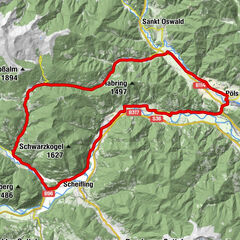
Sankt Marein bei NeumarktMareinerwirt0.5 kmSchützenhof0.8 kmTauchendorf3.5 kmUnterviertel5.0 kmPfarrkirche hl. Veit6.0 kmSankt Veit in der Gegend6.0 kmNiederdorf6.9 kmGstein7.2 kmAich9.6 kmMühlen11.6 km
- Best season
-
JanFebMarAprMayJunJulAugSepOctNovDec
- Description
-
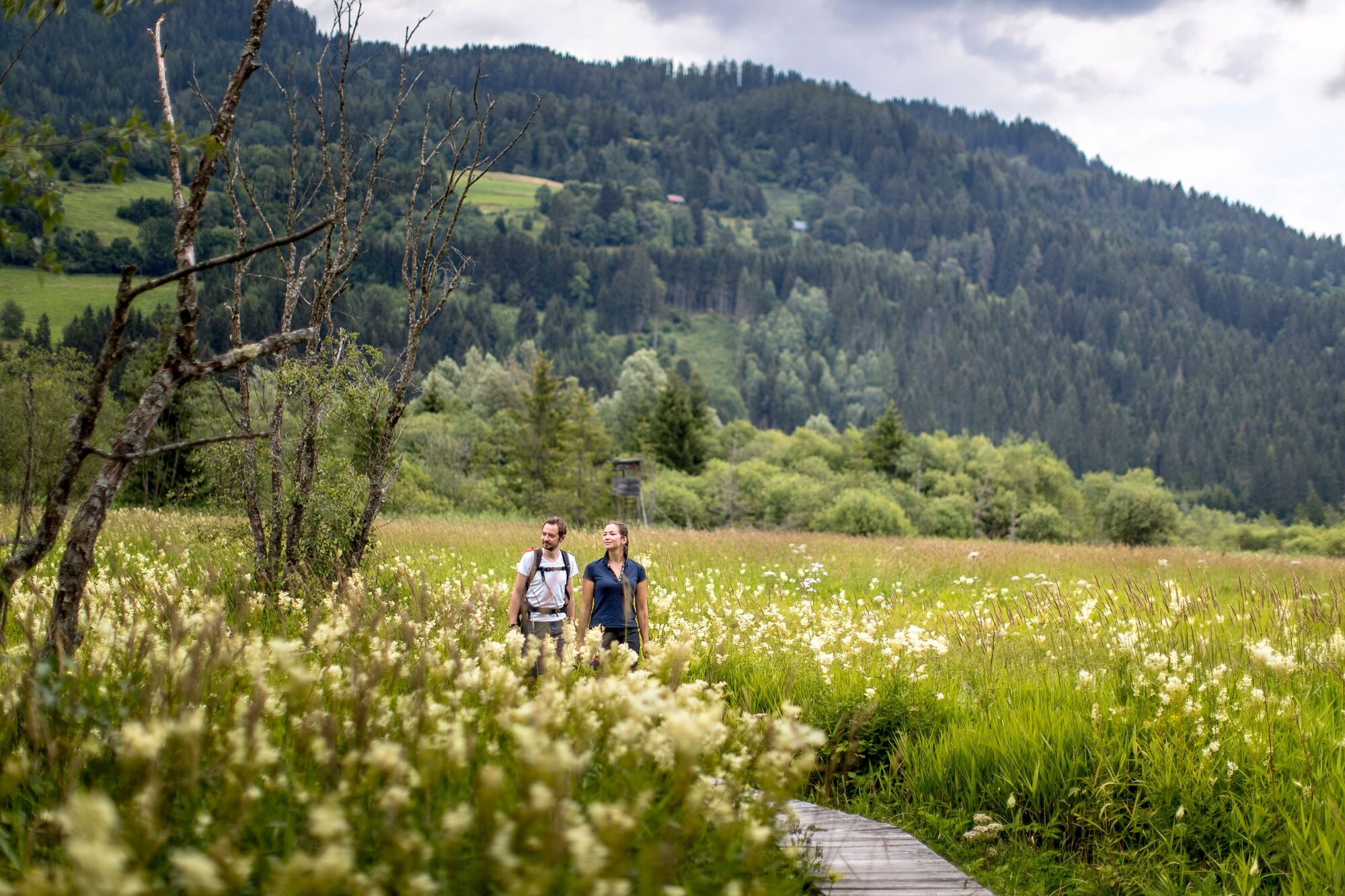
The final stop is at the Hörfeldmoor in Mühlen. The Ramsar protected area is a wetland of international importance. Located between Mühlen and Hüttenberg, it is home to 500 different butterfly and moth species and 125 bird species. A hiking trail leads around the moor and invites you to explore the mysterious originality of millennia-old stories.
- Directions
-
You start in St. Marein bei Neumarkt and follow the cycle path in the direction of Carinthia until Hammerl. From there you go straight on to Tauchendorf. Once in Tauchendorf, keep to the right in the direction of St. Veit in der Gegend. In Gstein one drives over Aich to Mühlen. At the entrance to the village, turn right along the B 92 in the direction of Hörfeld Moor.
- Highest point
- 1,005 m
- Endpoint
-
Hörfeldmoor, Mühlen
- Height profile
-

- Equipment
-
Helmet
Suitable footwear
Sportswear
Drinking bottle etc. - Additional information
-
The ideal time for this tour is from April to October.
- Directions
-
Coming from Judenburg via Unzmarkt to Scheifling. Continue straight on until you reach Neumarkt. Shortly after Neumarkt you will find St. Marein bei Neumarkt.
Coming from Tamsweg drive via Ranten (or Stadl an der Mur) to Murau. Here keep right and drive via Laßnitz and St. Lambrecht to Mariahof. Here turn right again and drive to Neumarkt. Shortly after Neumarkt you will find St. Marein bei Neumarkt.
- Public transportation
-
With the BusBahnBim app of the Verbundlinie, timetable information has never been easier: all bus, train and streetcar connections in Austria can be queried by enteriing locations and/or addresses, stops or important points. The app is available as a free app for smartphones (Android, iOS) - on Goolge Play and in the App Store.
- Parking
-
Parking spaces are available directly in the center of Neumarkt.
- Author
-
The tour Noric cycle path - R37 is used by outdooractive.com provided.