- Brief description
-
Pleasure on the river.
- Difficulty
-
medium
- Rating
-
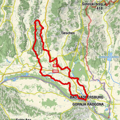
- Starting point
-
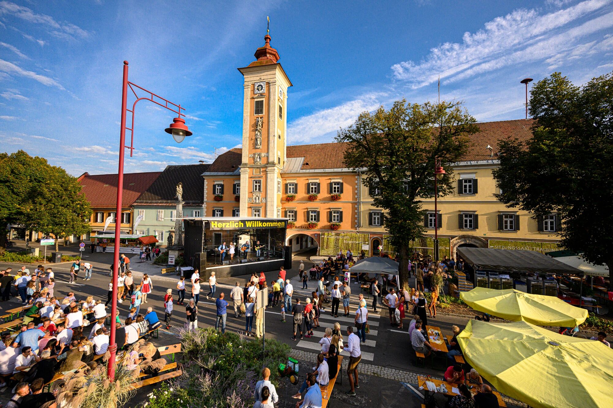
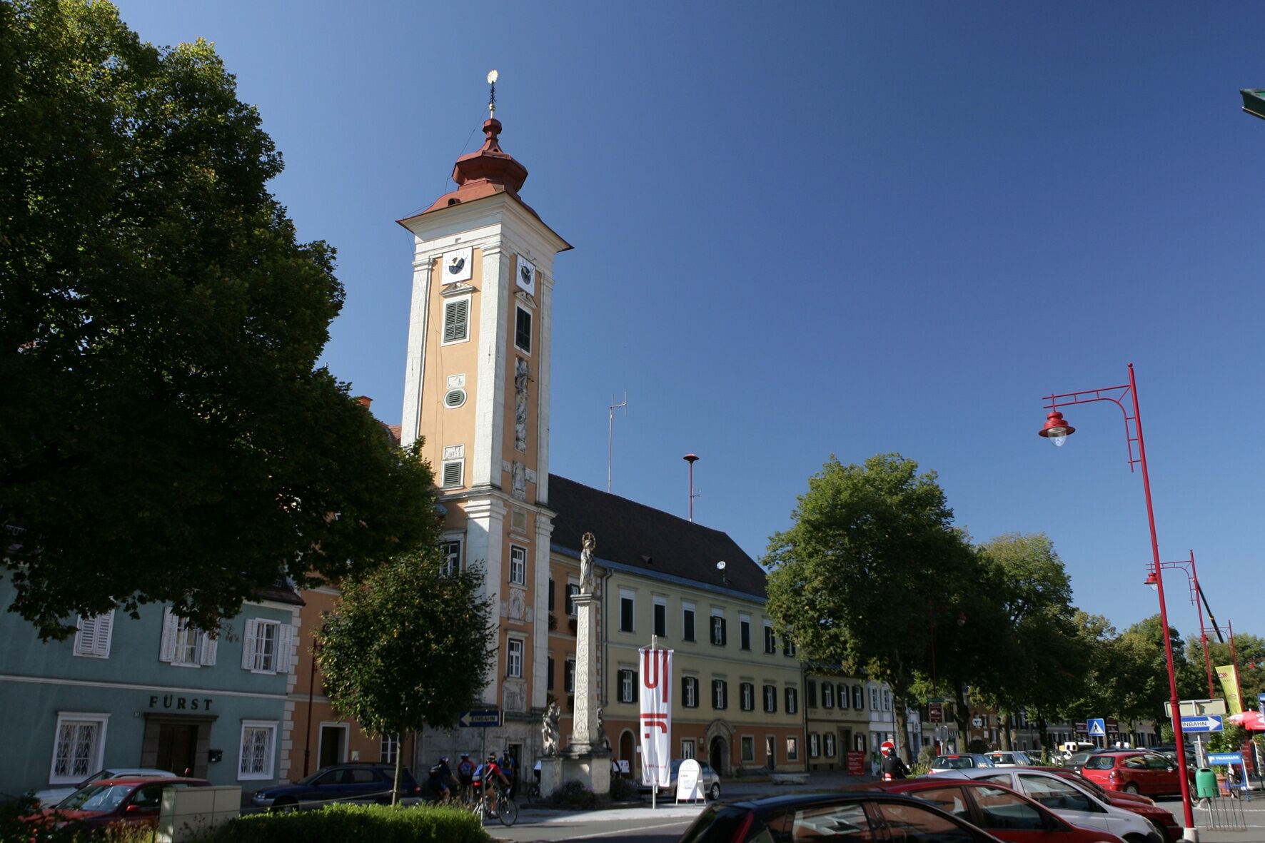
Mureck
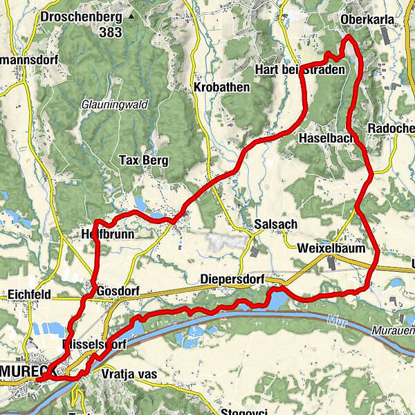
- Route
-
MureckUntergassl2.6 kmHelfbrunn4.3 kmHoferwirt, Gasthaus Fasching7.2 kmRatschendorf7.2 kmGasthaus Bader8.4 kmKirche Deutsch Goritz8.5 kmDeutsch Goritz8.5 kmUnterspitz9.8 kmOberspitz10.5 kmHart-Unterberg11.7 kmHart bei Straden12.7 kmWaldprecht14.5 kmUnterkarlaberg15.4 kmRadochenberg17.3 kmDonnersdorf21.5 kmElfi's Hütt'n24.1 kmFluttendorf24.2 kmDiepersdorf25.8 kmGasthof-Pension Röck29.3 kmGasthof-Pension Fabiani29.7 kmGries29.9 kmMisselsdorf30.6 kmVratji vrh (337 m)31.4 kmMureck32.3 km
- Best season
-
JanFebMarAprMayJunJulAugSepOctNovDec
- Description
-
A flat starting tour from Mureck via Gosdorf, Helfbrunn, Ratschendorf to Deutsch Goritz into the Gnasbach valley.
It continues via the Poppendorfbachtal, Hart and Waldprecht to the Unterkarlaberg with magnificent views. The E-Power is reduced again and we cycle via Donnersdorf back to the Murradweg R2. Via Diepersdorf we reach a 360° natural theater the Murturm. The unique compositions of nature, flora and fauna impresses again and again in the nature reserve Natura 2000. Past the Röcksee we reach the starting point again - but before a treat on the river in the Mühlenhof at the ship mill.
- Directions
-
City exit: Start at the swimming pool Mureck - right towards the main square - right towards Gosdorf - left Straßenmeisterei - straight ahead - right Gosdorf (Gorawald).
Trail conditions: Asphalt 80%, paved goods road 20%.
E-BIKE ready
- Highest point
- 339 m
- Endpoint
-
Mureck
- Height profile
-

- Tips
-
Discovery tips along the tour:
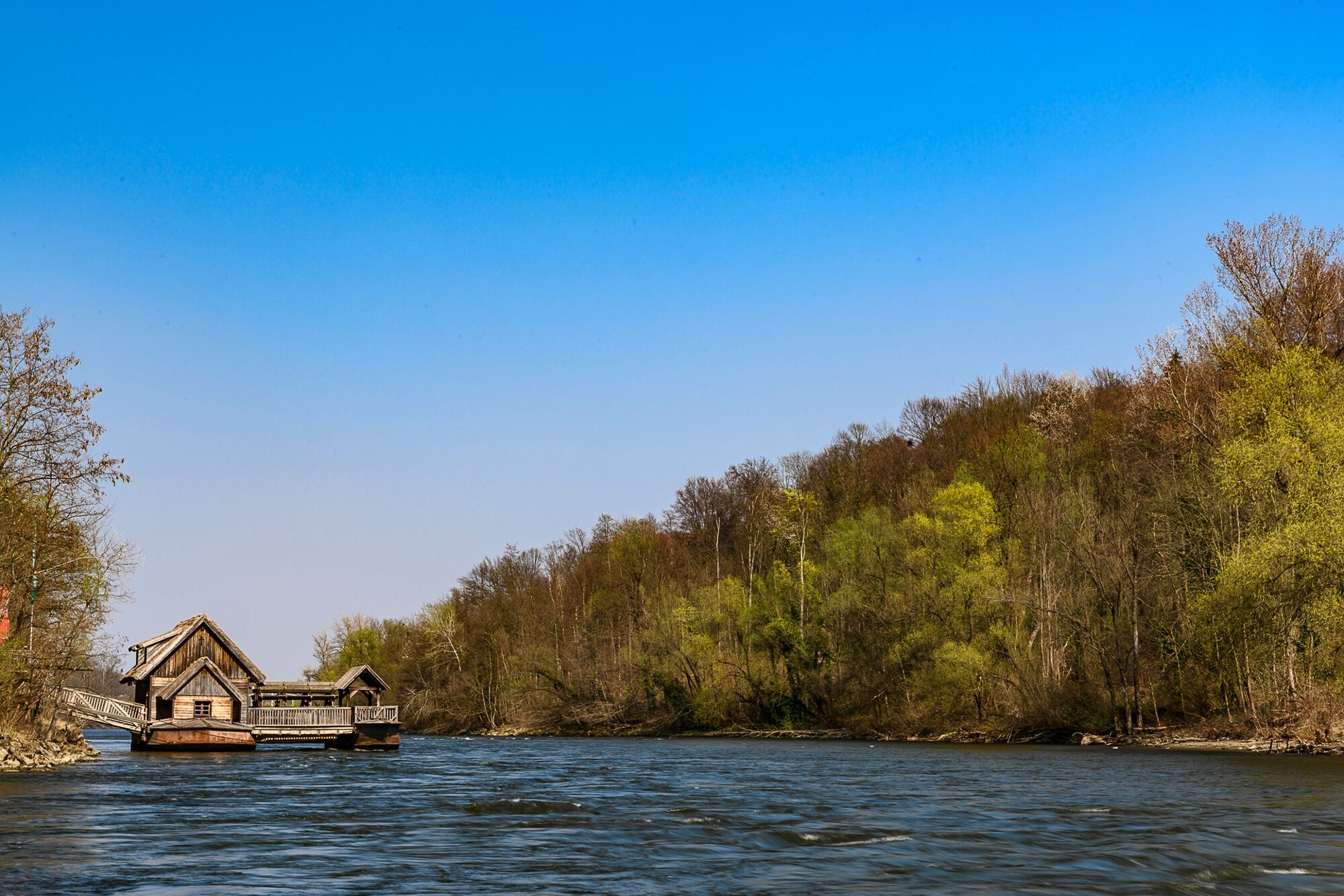
Helfbrunn, chapel; Ratschendorf, Roman museum; Diepersdorf, Kürbisdorf; Murturm; Schiffsmühle.
- Additional information
- Directions
- Public transportation
-
Detailed information about arriving by ÖBB (Austrian Federal Railways) can be found at www.oebb.at or on the Verbundlinie Steiermark website www.busbahnbim.at
With Verbundlinie’s BusBahnBim route planner app, planning your journey has never been easier: simply enter towns and/or addresses, stop names or points of interest to check all bus, train and tram connections in Austria. The app is available free of charge for smartphones – on Google Play and in the App Store
- Parking
-
You can find public parking here:
- Old town Bad Radkersburg - max. parking time 90 minutes
-city park (Hasenheide) and city moat - max. parking duration 180 minutes
-permanent parking - north in Dr. Kamniker-Straße and east near the Thermenarena - max. parking duration one week

- Author
-
The tour Feet Ship Mills - Tour RA 23 (Schiffsmühlen - Tour RA 23) is used by outdooractive.com provided.


General info
-
Südsteiermark
237
-
Region Bad Radkersburg
124
-
Deutsch Goritz
54