© www.fahr-radwege.com - Alfredo

© www.fahr-radwege.com - Alfredo

© www.fahr-radwege.com - Alfredo
- Brief description
-
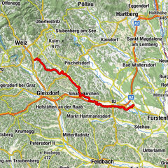
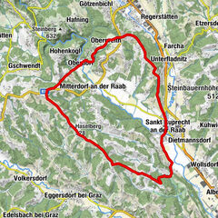
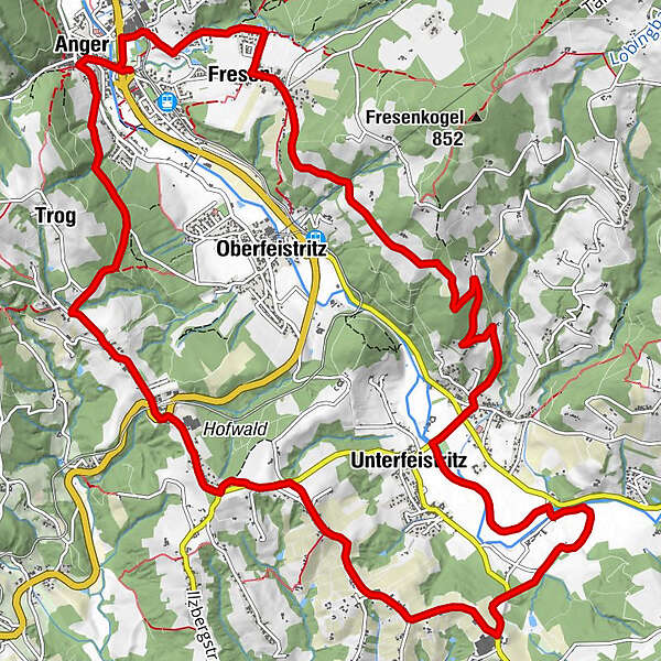
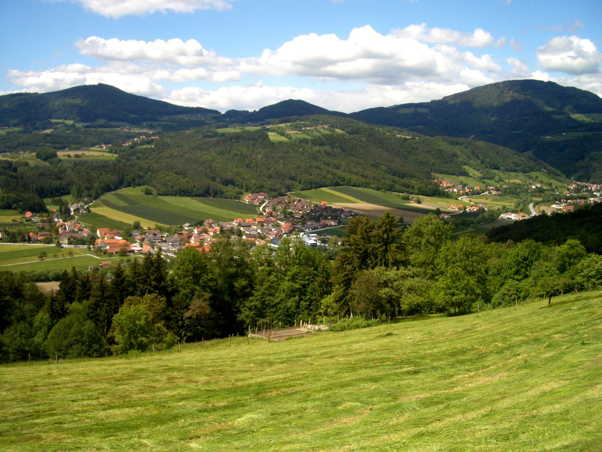
Radtour rund um Anger
- Difficulty
-
medium
- Rating
-
- Route
-
Anger0.1 kmMärchenwald1.4 kmFresen1.9 kmLebing6.6 kmUnterfeistritz7.3 kmHarl11.0 kmPfarrkirche hl. Andreas17.6 kmAnger17.7 km
- Best season
-
JanFebMarAprMayJunJulAugSepOctNovDec
- Highest point
- 638 m
- Endpoint
-
Schwimmbad Anger
- Height profile
-


- Author
-
The tour Panoramatour Anger is used by outdooractive.com provided.
GPS Downloads


General info
Refreshment stop
Other tours in the regions
-
Oststeiermark
377
-
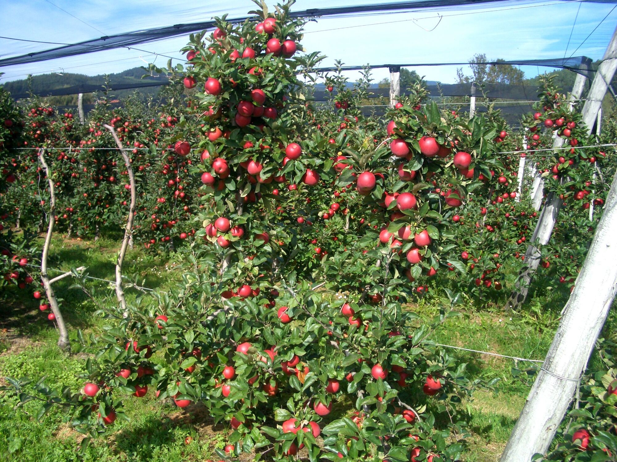
ApfelLand - Stubenbergsee
208
-
Anger
57