
- Brief description
-
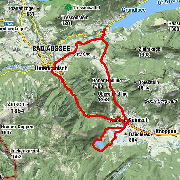
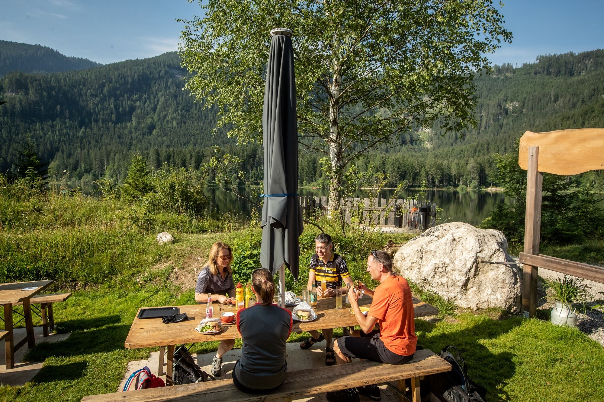
Beautiful tour from Grundlsee to Ödensee. A culinary break at Ödensee is highly recommended here.
- Difficulty
-
easy
- Rating
-
- Starting point
-
Grundlsee Information office
- Route
-
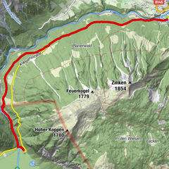
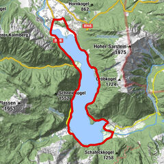
Gallhof0.9 kmAu0.9 kmHintenkogl2.1 kmFilialkirche hl. Leonhard2.8 kmAnger2.9 kmBad Aussee (659 m)3.9 kmEselsbach4.1 kmUnterkainisch4.7 kmKalsswirt5.1 kmSießreith5.2 kmÄußere Kainisch10.8 kmKohlröserlhütte12.9 kmÄußere Kainisch16.9 kmPrietal17.6 kmRadling18.7 kmGschlößl19.7 kmGruben21.4 km
- Best season
-
JanFebMarAprMayJunJulAugSepOctNovDec
- Description
-
A great tour from Grundlsee via Bad Aussee to Ödensee. Around Ödensee and via Radling and the district of Straßen back to Grundlsee.
- Directions
-
From the parking lot at the information office, right next to the Seehotel, drive in the direction of Bad Aussee. 500 meters after the Seeklause, turn left in the direction of Kainisch. At the carpenter's store turn right again and cross the bridge.
At the next crossroads drive straight on through the settlement at the "Gallhof" and then straight on again up to the Hintenkogel. On the hill a gravel road leads to the left over to the Klavarienberg church of St. Leonhard. Once on the Alte Salzstraße, turn right and immediately left, then down the Scheibnergasse through Eselsbach into Sießreith.
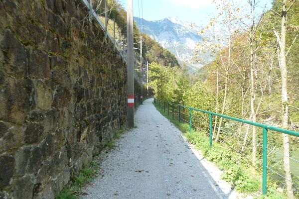
At the main road, turn left and pass the Gasthof Kalßwirt until you reach a bridge that leads to the crossbow shooting range on the right. There you take the path to the left and below the railroad line following the Traun upwards to the waste material collection center. There the path leads to the left and after the bridge again to the right onto the cycle path.
This leads between the railroad and the Traun to the fishing center.
After passing through the facilities, you arrive at Ödenseestraße. Follow this road to the Ödensee lake.
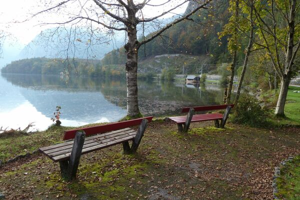
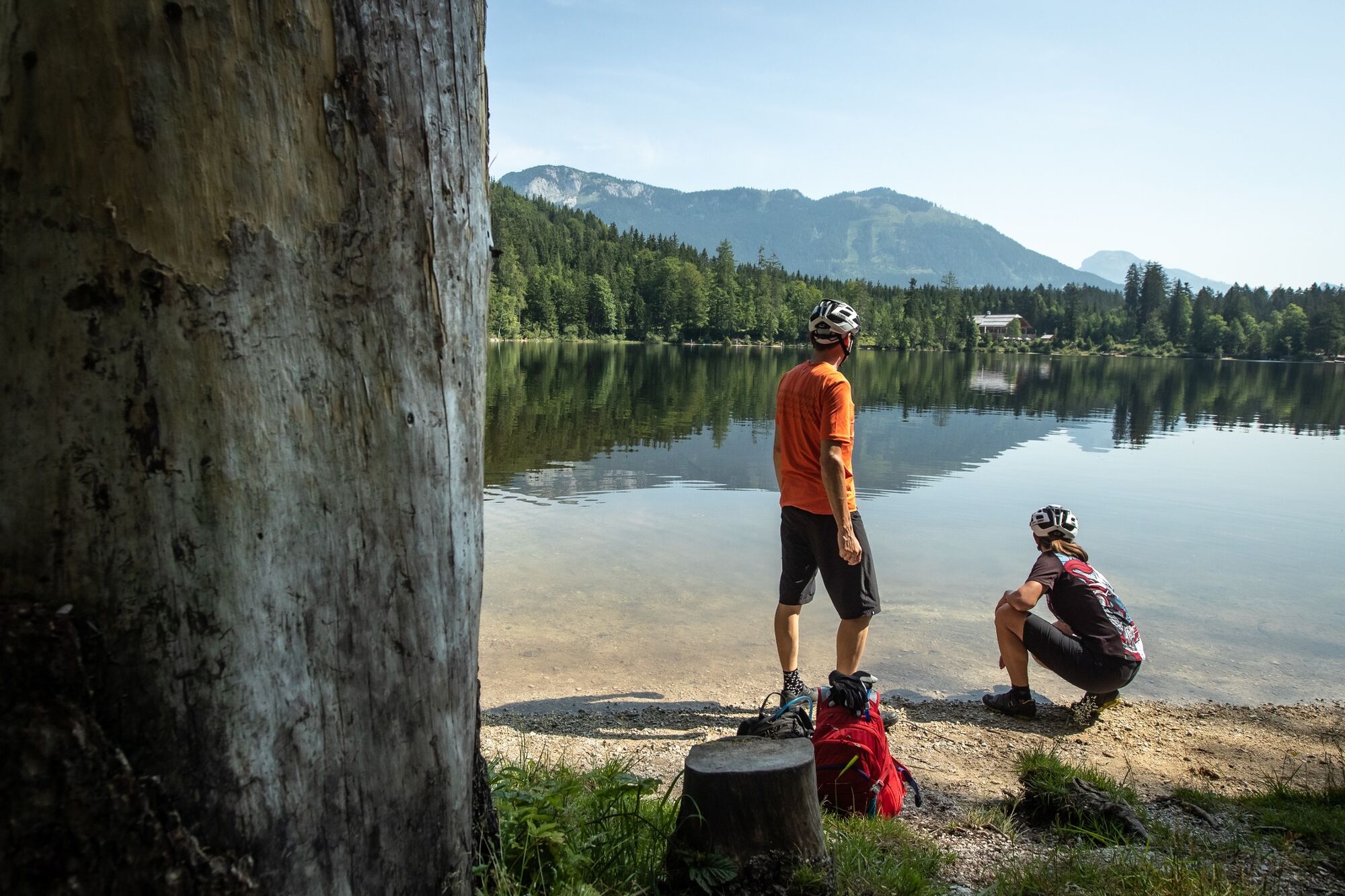
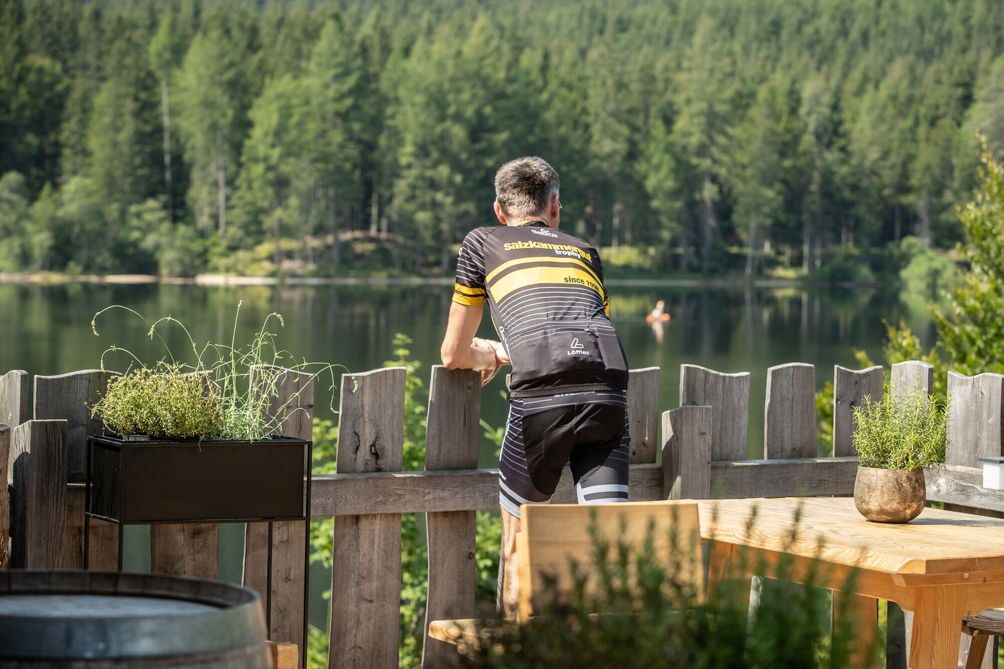
At the Kohlröserlhütte you turn right to the barrier and cycle around the Ödensee.
Follow the gravel road in the forest. Soon the landscape opens up and you cycle through the moorland back to the fishing center. But then over the railroad crossing, under the main road and you are in Kainisch.
After the Steiner farm, turn right and follow the Ausseer Radweg >R61< up to the Radling. (Attention, increased traffic!).
At a house directly on the road, do not miss the turnoff to the right to Grubenstraße. Follow it down to Grundlsee, which brings you back to the starting point.
- Highest point
- 859 m
- Endpoint
-
is the starting point
- Height profile
-

- Equipment
-
A few tips for safe biking:
Before and after each bike tour check the air pressure, spoke tension and brake pads.
The helmet belongs to every tour.
Consider in advance what equipment you need: warm clothing, rain and wind protection, repair kit and first aid kit belong in the backpack. Also a charged cell phone. - Safety instructions
-
Emergency call rescue: 144
Emergency Reporting Tip - Provide answers to the six W questions:
What happened? How many injured? Where did the accident happen? (possibly GPS coordinates) Who is reporting? (callback number) When did the accident happen? Weather at the accident site? - Tips
-
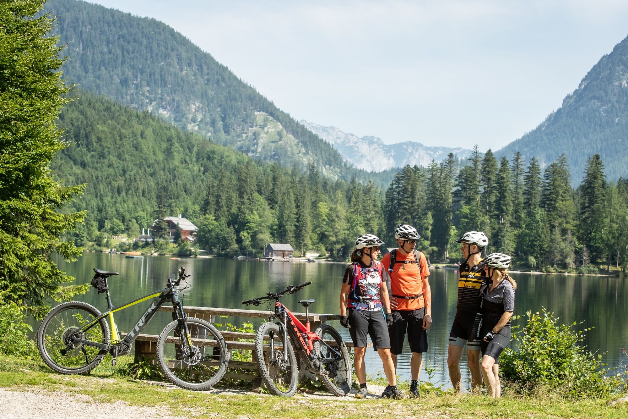
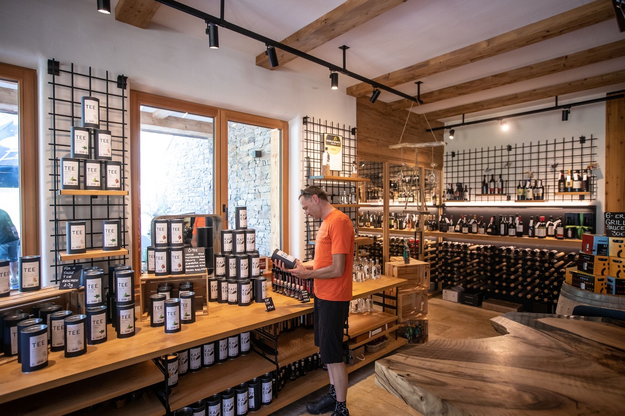
A swim in Lake Öden with a stop at the Kohlröserlhütte inn is an enjoyable change.
- Additional information
- Directions
- Public transportation
- Parking
- Author
-
The tour From Grundlsee to Ödensee is used by outdooractive.com provided.