- Brief description
-
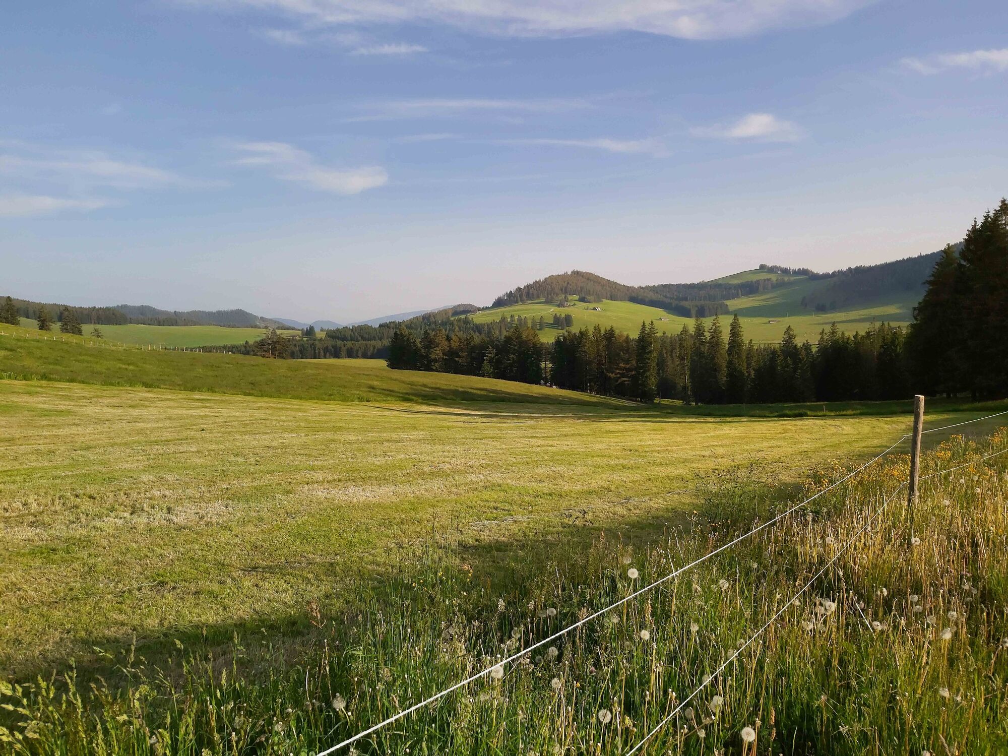
Across the alpine pastures from hut to hut - around the heart of the Almenland Nature Park! The route is asphalted throughout, making it easy to ride with trekking and road bikes.
- Difficulty
-
difficult
- Rating
-
- Starting point
-
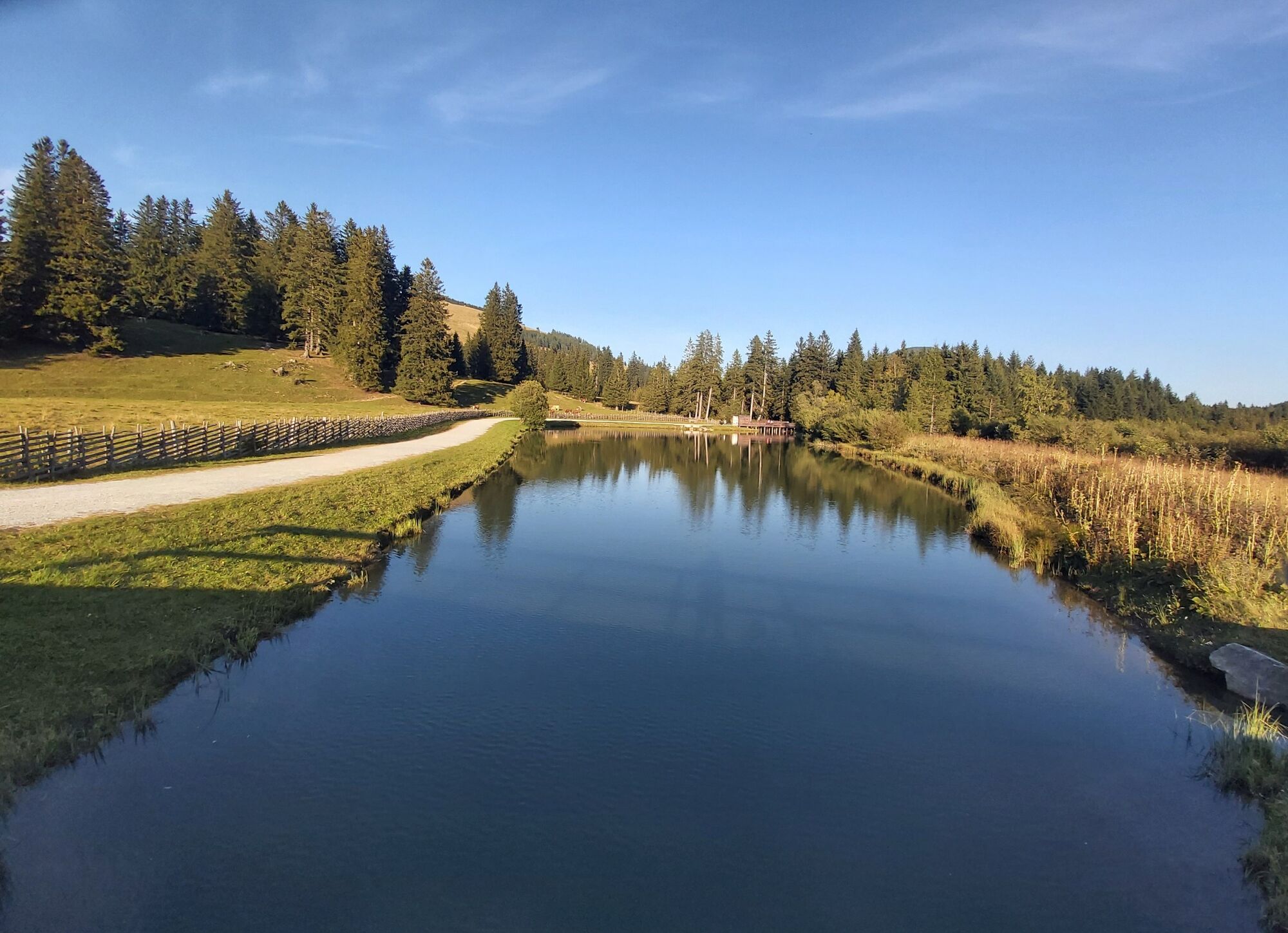
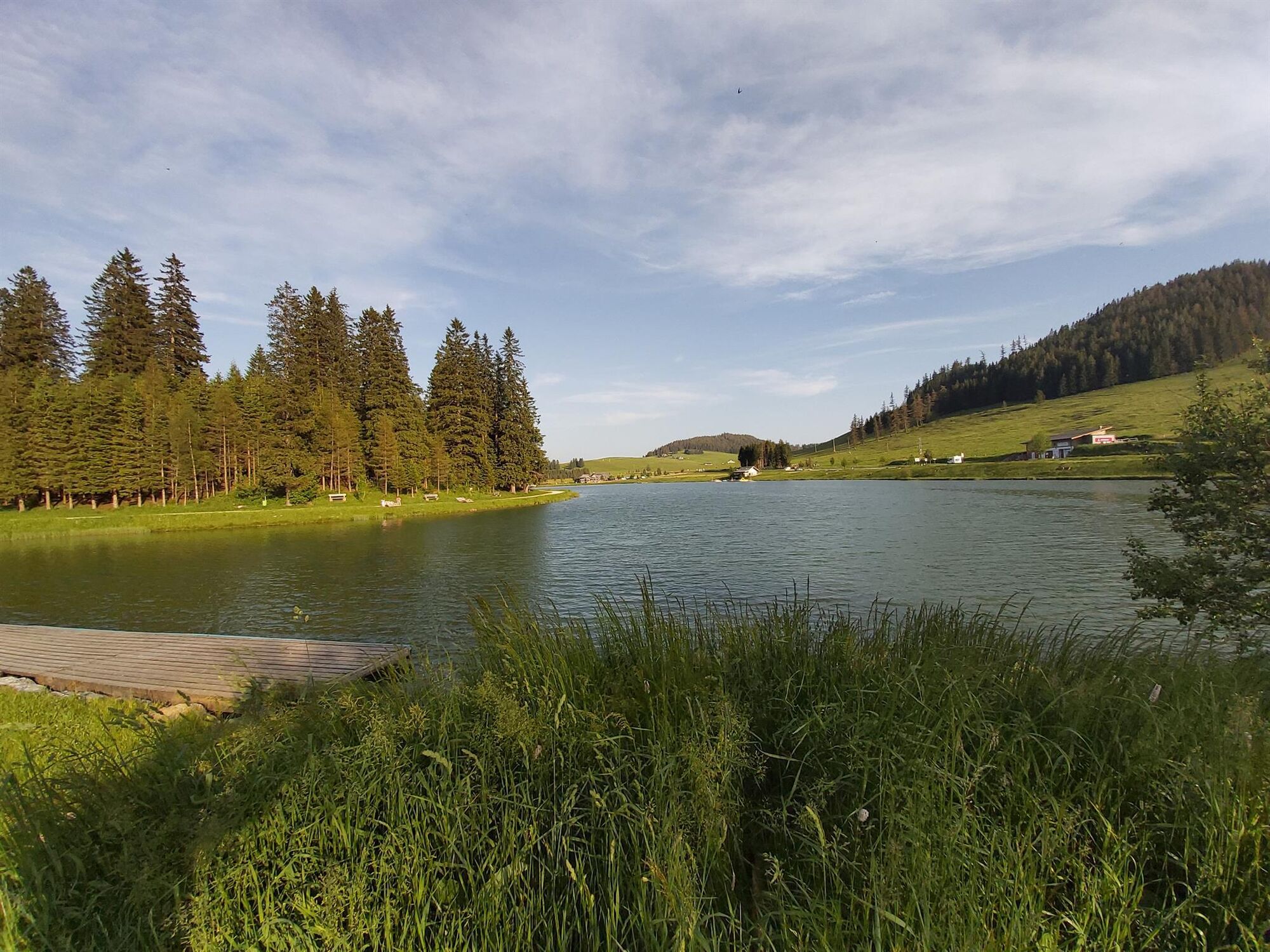
Teichalm Lake
- Route
-
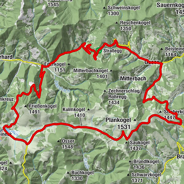
Angerwirt1.4 kmMoospeter Hütte2.1 kmHolzmeister4.1 kmHoldahütt'n6.9 kmSommeralm8.3 kmSommeralmkapelle8.4 kmStoakoglhütte10.3 kmAugraben17.4 kmJagawirt19.2 kmGasen19.2 kmWillingshofer19.2 kmStrasseggwirt23.3 kmTeichalm36.8 kmAlmgasthof Teichwirt (1,200 m)37.0 km
- Best season
-
JanFebMarAprMayJunJulAugSepOctNovDec
- Description
-
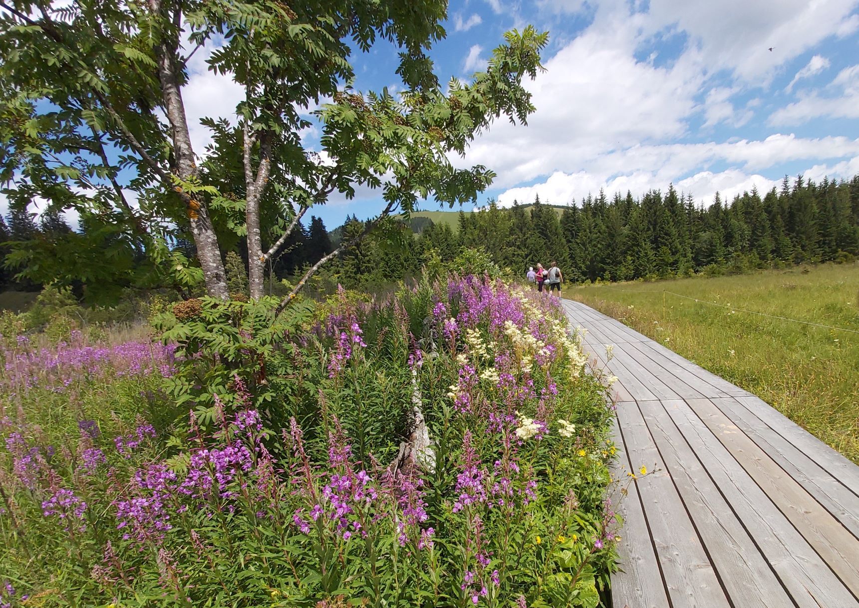
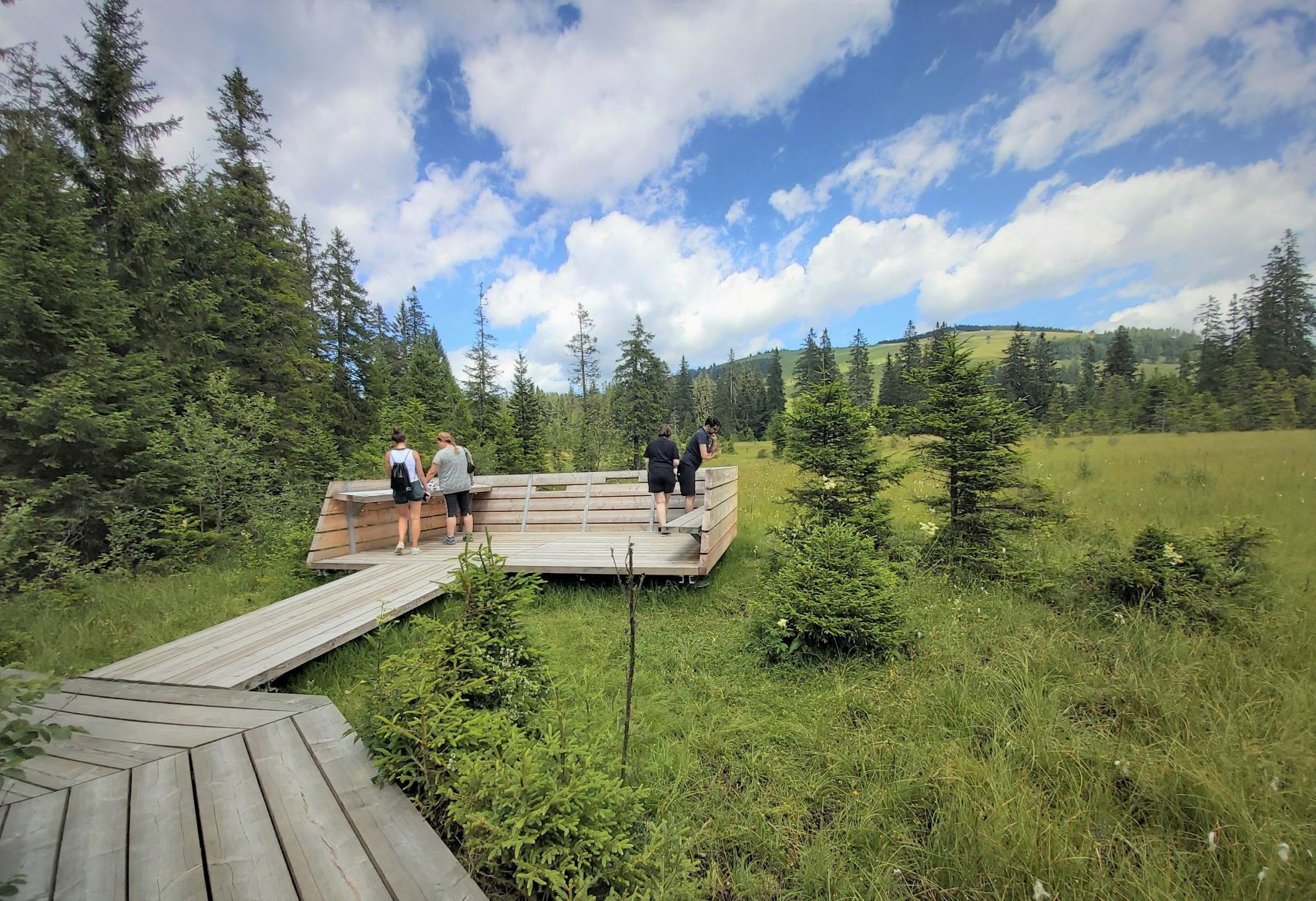
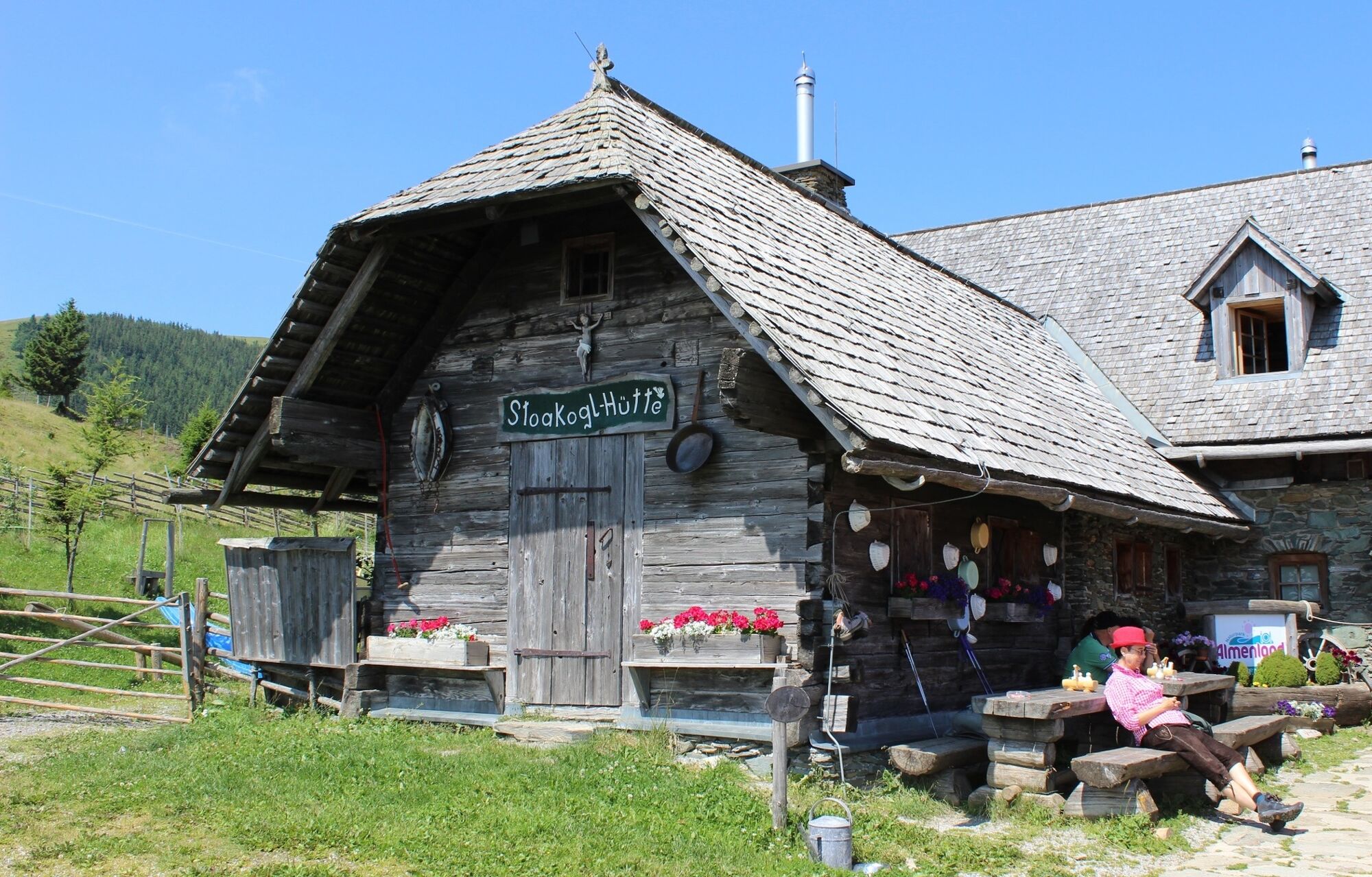
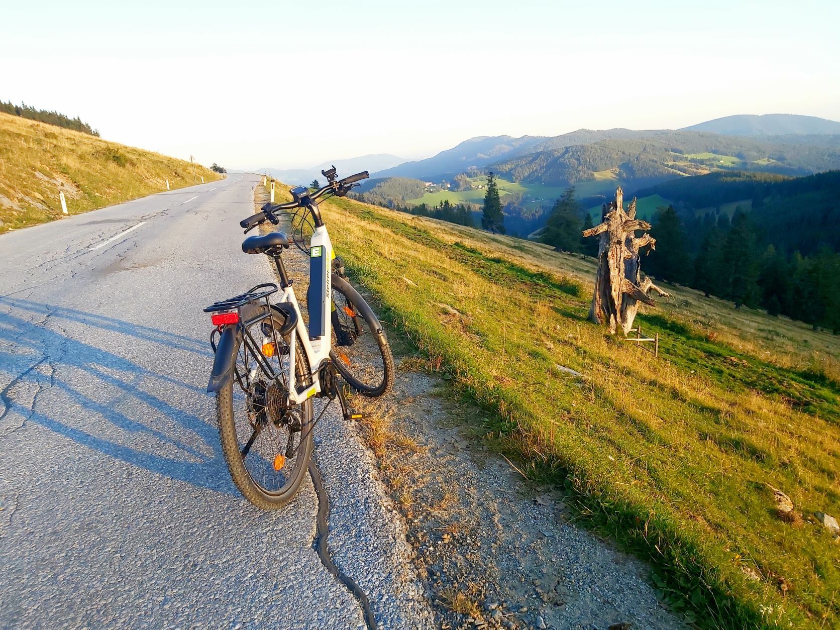
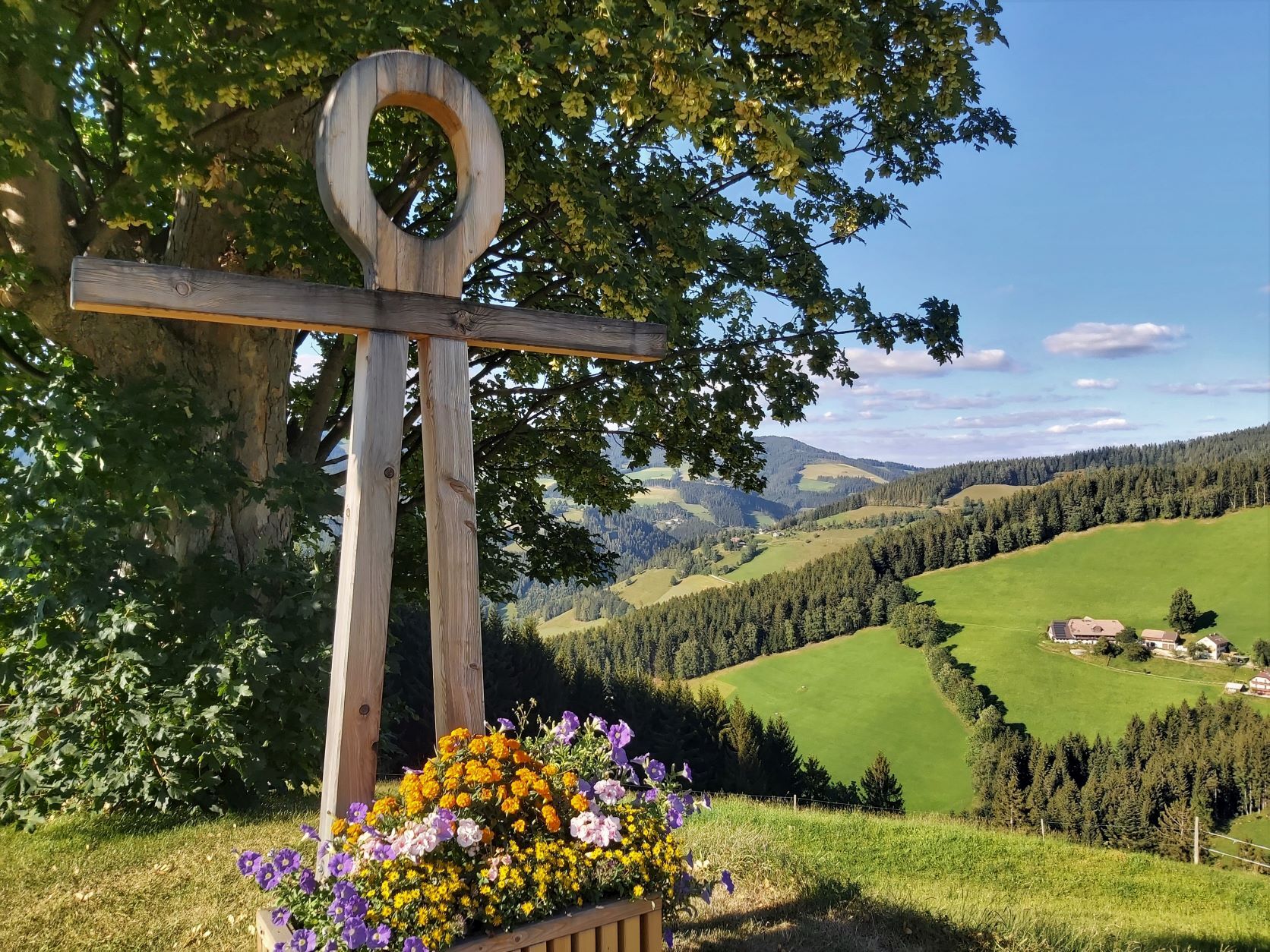
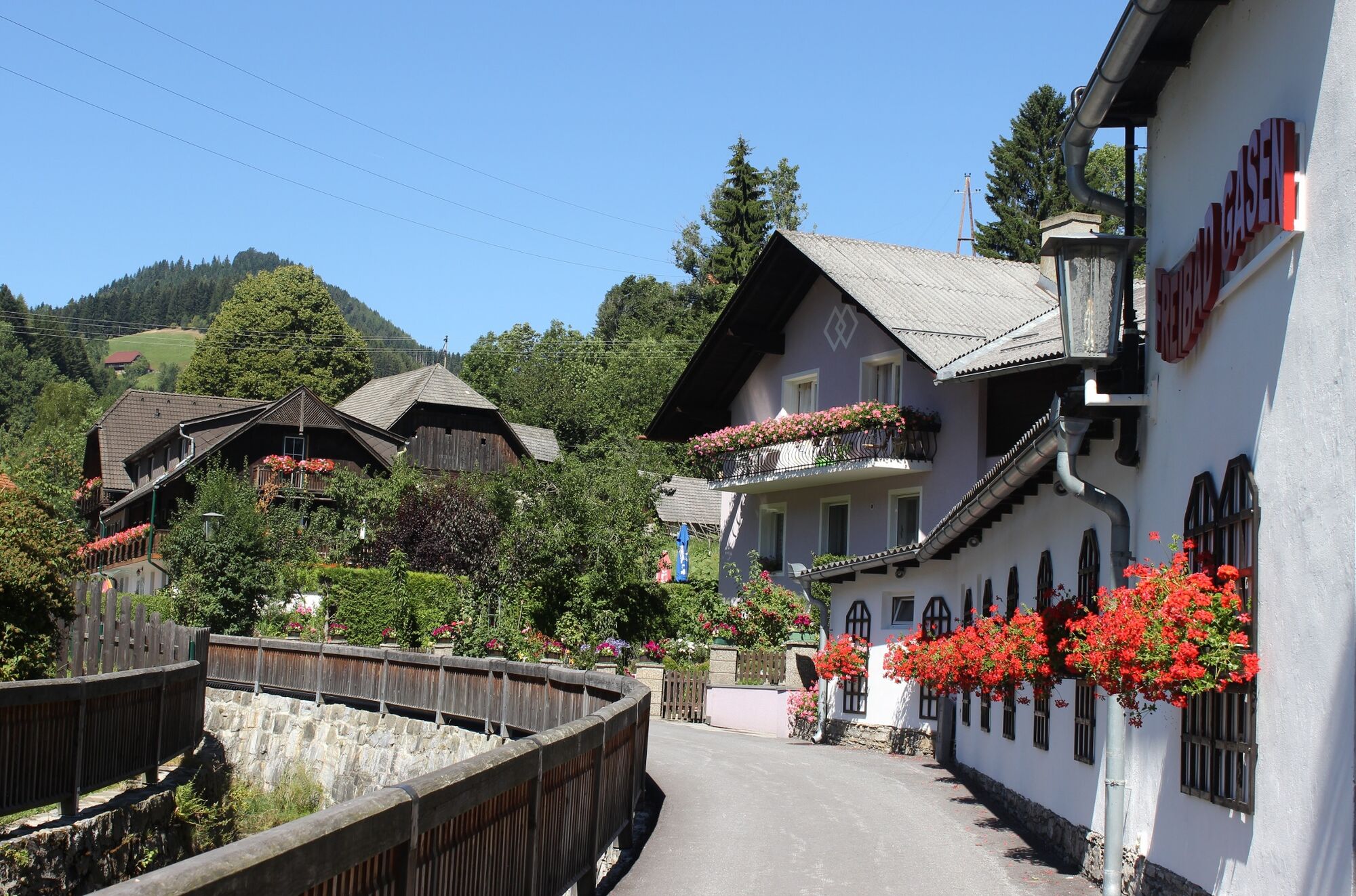
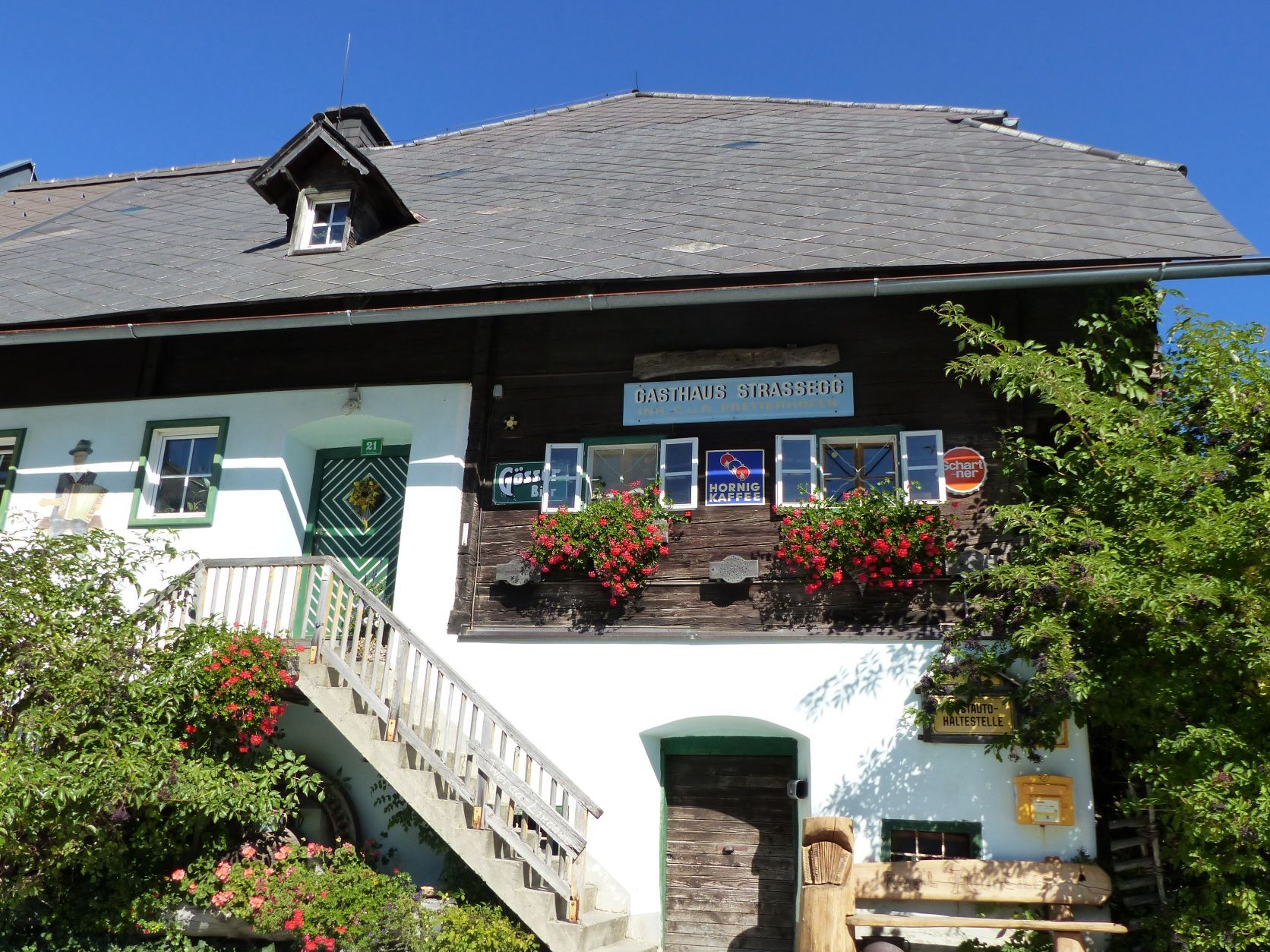
This wonderful tour for ambitious cyclists leads from the Teichalm via the Sommeralm down to Gasen, via the Strassegg to Breitenau and back up to the Teichalm. Wonderful views far into the countryside, interesting excursion destinations and a stop at one of the hut innkeepers reward the efforts of the tour!At the Teichalmsee, the moor nature trail invites you to take a short walk through intact nature. Then it's over the Sommeralm and through the core area of the nature park. Here you may encounter grazing cattle directly on the road - we drive right through the middle of the alpine pasture area. We descend to the music village of Gasen via Amassegg, the view at the Hochegger cross is unforgettable! In Gasen it is time for a stop and possibly a visit to the Stoanihaus with the Stoakogler Museum. Now the Strassegg awaits us, at the pass the Stroßeggwirt invites not only pilgrims to take a rest. In St. Erhard, a district of Breitenau, we then head back up to the Teichalm, past the Hochreiter forest park and the Almwellness Hotel Pierer.This tour is good for less trained bikers on an e-bike!
- Directions
-
Start: at the Teichalmsee (GH Teichwirt, Latschenhütte) in the direction of Weiz.
We ride approx. 1.5 km to the crossroads at the Angerwirt Inn and turn left there in the direction of "Brandlucken Sommeralm". Now we go along some huts and inns (Harrerhütte, Holdahütt'n, Weizerhütte) up to the Sommeralm. We pass the only windmill in the Almenland, and from the car park we can start a short hike up to the Plankogel with its magnificent view. We continue along the Sommeralm panorama road and soon reach the Stoakoglhütte. After about 12 km, we turn left at the "Bucklige Lärche" junction in the direction of "Gasen/Stoanihaus". If we want to make a detour to the Brandlucken and on to the Heilbrunn pilgrimage church, we continue straight on and turn off at the next junction in the direction of "Brandlucken" (GH Unterberger, GH Bauernhofer), back to the junction we take the same route. From the crossroads "Bucklige Lärche" we descend steeply, after about 3 km we pass the herb gardens of the Pöllabauer family, at the crossroads we keep to the left and descend - always in the direction of "Gasen". Soon we pass the Schreinhofer mill. At the next crossroads we turn left into the village of "Gasen". In the centre of the village we can visit the Stoanihaus of music (GH Willingshofer, GH Grabenbauer, GH Schweiger). Now we continue in the direction of "Bruck/Mur", the road now climbs up again to the Strassegg, the Stroßeggwirt is an institution with pilgrims and musicians. The road continues down to Breitenau/Hochlantsch. At the junction with the road up to the Teichalm, we have to decide whether to make a detour to St. Erhard with its pilgrimage church. From St. Erhard we can also continue to the district of St. Jakob (GH Hofbauer), and return the same way. At the crossroads, turn uphill in the direction of "Teichalm/Weiz", the road now leads steeply uphill, past the entrance to the Hochreiter forest park. We continue until we reach the highest point at the "Breitalm". Now the road leads back down (past the Hotel Pierer), back to the starting point Teichalmsee with the wooden ox. - Highest point
- 1,434 m
- Endpoint
-
Teichalm Lake
- Height profile
-

- Equipment
-
Sportswear with helmet, sturdy shoes and rain gear,
Sunglasses and water bottle
Well-maintained bicycle with emergency kit (air pump, repair kit, spare inner tube)
Multifunctional tools First aid kit - Safety instructions
-
The tour leads along state and municipal roads and through a large grazing area - cattle on the road (mid-May to mid-September) are to be expected!
Always wear a helmet for your safety. For a good coexistence on the paths and roads, we ask you to observe the 10 principles for cyclists.
Emergency numbers:
Fire brigade: 122 Police: 133 Rescue: 144 Euronotruf: 112 - Tips
-
"Oxen" are not only to be seen along the tour, but also to be enjoyed. The ALMO Genusswirte not only have a tasty beef dish on their menu!
- Additional information
- Directions
- Public transportation
- Parking
-
Sufficient parking spaces around the Teichalm-Lake.


-

-
AuthorThe tour Ochsentour Teichalm - Sommeralm is used by outdooractive.com provided.


General info
-
Hochsteiermark
175
-
Naturpark Almenland
122
-
Gasen
14