FB8 Auland Tour Thermal & Volcanic Land Styria (FB8 Aulandtour Thermen- & Vulkanland Steiermark)


- Brief description
-
Past volcanoes and the alluvial cone. The Aulandtour FB8 is one of a total of 14 forest and meadow tours in the Feldbach region in the thermal and volcanic country of Styria.
- Difficulty
-
medium
- Rating
-
- Starting point
-
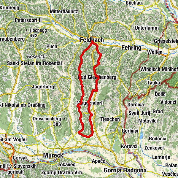
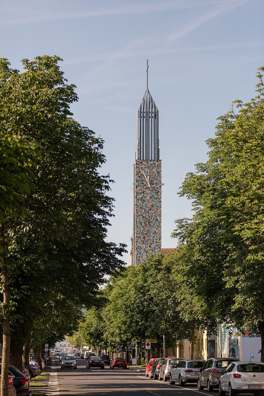
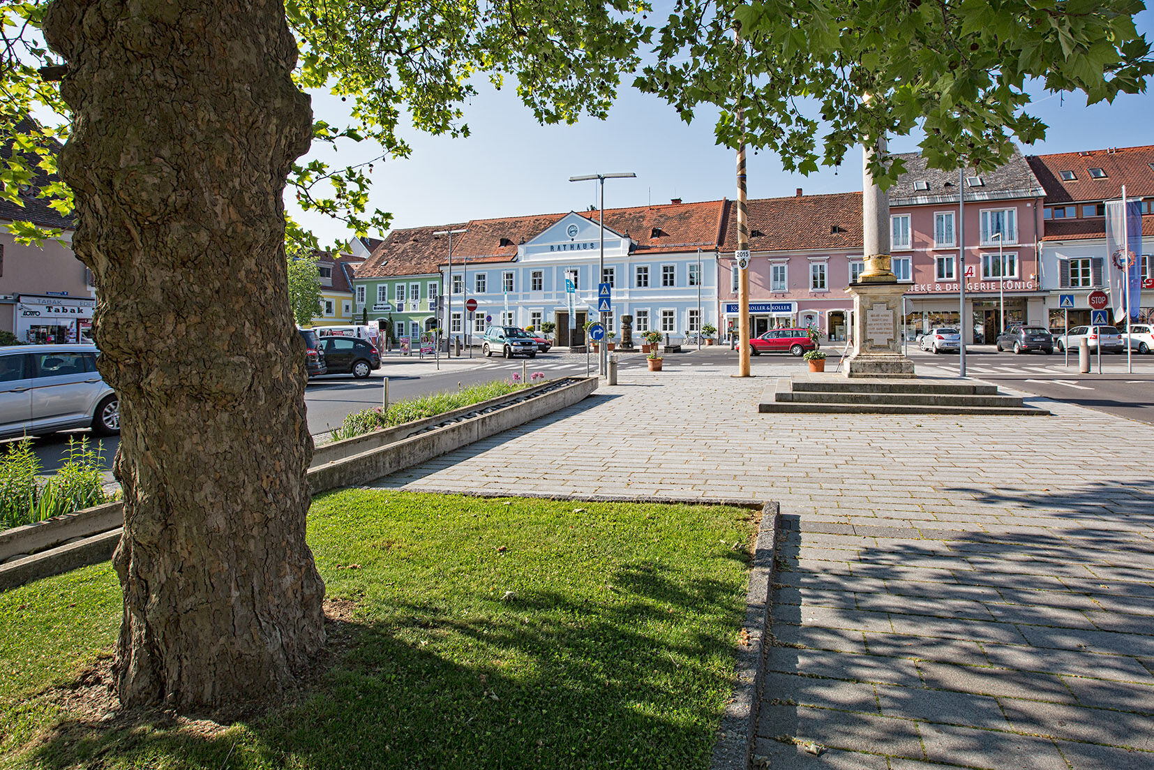
Main square Feldbach
- Route
-
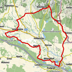
FeldbachGasthaus Amschl2.7 kmMühldorf bei Feldbach2.7 kmPetersdorf4.9 kmNeubergen6.3 kmKlausen8.2 kmGleichenberg Dorf10.3 kmBad Gleichenberg11.9 kmMerkendorf14.3 kmHaag15.4 kmWaldsberg16.1 kmBrandstatt19.5 kmMuggendorf20.2 kmMarktl22.4 kmBulldogwirt22.8 kmJohannisbrunn22.9 kmOberkarla24.7 kmUnterkarla25.8 kmRadochen27.8 kmKater30.1 kmFriesenberg31.7 kmOberspitz32.6 kmHart-Unterberg33.7 kmHart bei Straden34.7 kmWieden36.6 kmKronnersdorf38.2 kmSchwabau38.9 kmWaasen am Berg40.4 kmKrusdorf43.5 kmDorfkapelle Krusdorf43.5 kmPoppendorf46.6 kmKatzendorf48.4 kmMaierdorf50.0 kmKinsdorf51.2 kmHirsdorf53.2 kmOedt55.6 kmFriedhofskapelle58.1 kmFeldbach58.5 km
- Best season
-
JanFebMarAprMayJunJulAugSepOctNovDec
- Description
-
Mühldorf, Bad Gleichenberg (the "Zwillingskogeln" mark the older volcanism of the region) and the view of the Stradenerkogel bear witness to the volcanism of the region. Straden itself is perched on an alluvial cone, the product of a subtropical sea. This tour leads through the fertile valleys of the volcanic land, past glassy manufactories, inns and Buschenschenken.
- Directions
-
Km Route
0 Feldbach main square
0.4 Gleichenbergerstraße (after GH Csejtei) on the left
0.6 Mühldorferstraße to the right
0,9 State railway tracks straight ahead
1,7 Crossing (in front of Kürschnerei) straight ahead
1,9 Red cross (hilltop) straight ahead
2,4 on B 66 (about 100 m long) turn right
2,5 into Mühldorf turn left
2,6 direction Petersdorf (at GH) Amschl to the right
2.8 Chapel Mühldorf half-left
3,9 Ascent towards Edersgraben on the left
4,4 hilltop on the right
6,1 at "Huabn" straight ahead
6,3 Crossroads straight ahead
6.8 Kulmberg hilltop on right
8,2 on B 66 left
10,0 village Gleichenberg left
11,2 at police Bad Gleichenberg straight ahead
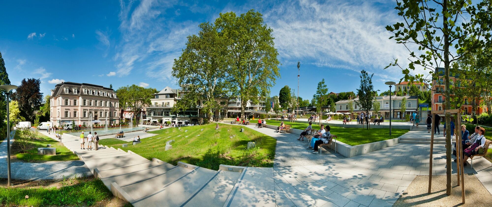
11.5 Bad Gleichenberg - traffic circle in front of market place straight ahead
12.3 Roundabout at minigolf course half-left
12,6 on B 66 at traffic circle turn left
13,4 Roundabout - direction Merkendorf straight ahead
14.4 Merkendorf straight ahead
15.3 in Haag - direction Waldsberg right
16.1 Waldsberg left
16.3 straight ahead and left at 16.7
18.8 Grub II straight ahead
19.2 straight or half-right, 19.5 left, 19.9 straight ahead
20.2 Muggendorf straight ahead
21.5 Crossroads (right would lead to Straden) straight ahead
22,5 Crossing (Marktl) straight ahead
23,1 Johannisbrunn right
24,7 straight ahead
26,3 at bridge right
27.8 Radochen right
29.2 straight ahead, turn right at 29.5 towards Spitz/Deutsch Goritz
30.1 straight ahead
32.5 Oberspitz right
36.9 after Wieden left
38.2 Kronnersdorf straight ahead
38.8 Schwabau straight ahead
39.4 Schwabau end of village left
40.4 Waasen straight ahead
41.9 straight ahead
43.3 Krusdorf left
43.9 Krusdorf-end of village right
46.4 Poppendorf straight ahead
48,3 Katzendorf - traffic circle straight ahead
49.5 Maierdorf straight ahead
51,4 after Kinsdorf straight ahead
52.0 Hirsdorf follow the road half-left
53.5 Prädiberg hilltop (formerly "Hammerwirt") straight ahead
58.2 Feldbach - turn right before Billa and left at traffic lights
58.5 Feldbach main square
- Highest point
- 397 m
- Endpoint
-
Main square Feldbach
- Height profile
-

- Equipment
-
Touring bikes or city bikes are recommended. Tip: A basic equipment of tools and accessories such as spare inner tube and/or repair kit, spanner, air pump, brake and shift cable as well as a screwdriver can never hurt.
- Safety instructions
-
Emergency call mountain rescue: 140
ambulance: 144
European emergency call: 112
firefighters: 122
police: 133Tips when reporting an emergency – Answer these six WH questions: What happened? How many people are injured? Where did the accident happen (are there GPS coordinates)? Who is reporting the incident (callback number)? When did the accident happen? What is the weather like at the site of the incident?
- Tips
-
The starting point can be the shopping town of Feldbach or the spa town of Bad Gleichenberg. Well signposted, not demanding because you ride in the valley.
- Additional information
- Directions
-
Coming from Graz:
Freeway A2 direction Vienna - exit Gleisdorf Süd - direction Feldbach B68
Coming from Vienna:
Freeway A2 direction Graz - exit Ilz/ Fürstenfeld - direction Riegersburg B66 to Feldbach
- Public transportation
-
Detailed information about arriving by ÖBB (Austrian Federal Railways) can be found at www.oebb.at or on the Verbundlinie Steiermark website www.busbahnbim.at
With Verbundlinie’s BusBahnBim route planner app, planning your journey has never been easier: simply enter towns and/or addresses, stop names or points of interest to check all bus, train and tram connections in Austria. The app is available free of charge for smartphones – on Google Play and in the App Store
- Parking
-
There are sufficient parking spaces available.
Parking in the area of the city center:
The parking time is 2 hours. Parking in the shopping city of Feldbach is free of charge. A parking meter must be used and is available free of charge at the tourist office.P+R at Feldbach train station (no short-term parking zone). There are numerous parking spaces available.


- Author
-
The tour FB8 Auland Tour Thermal & Volcanic Land Styria (FB8 Aulandtour Thermen- & Vulkanland Steiermark) is used by outdooractive.com provided.


General info
-
Oststeiermark
377
-
Bad Gleichenberg
168
-
Straden
53