


- Brief description
-
A bike tour on the traces of salt mining and the history of Altaussee.
- Difficulty
-
difficult
- Rating
-
- Starting point
-
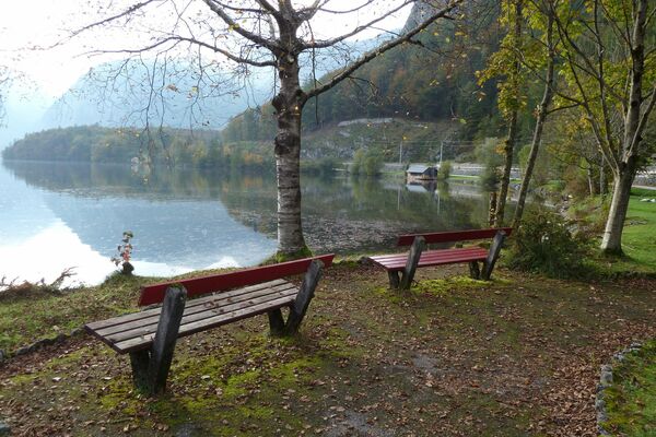
Altaussee spa park
- Route
-
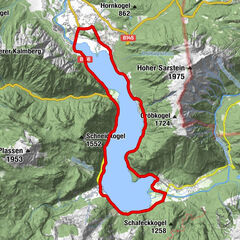
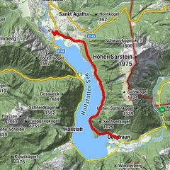
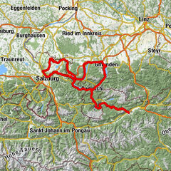
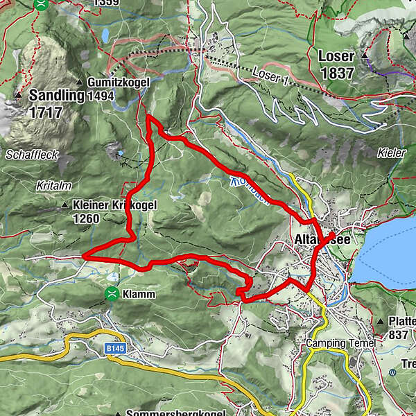
Altaussee0.2 kmMoosberg4.1 kmFürstenscheibl4.8 kmWaldgraben5.4 kmSchloßwiese6.6 kmKesselgrube9.1 kmKendl9.1 kmPuchen9.2 kmAltaussee9.8 km
- Best season
-
JanFebMarAprMayJunJulAugSepOctNovDec
- Description
-
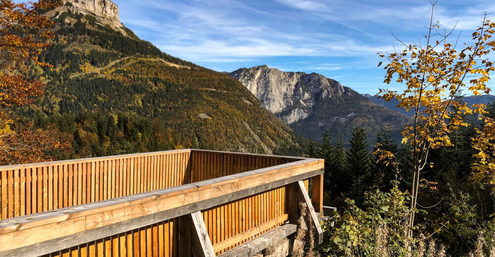
A bike tour for attentive contemporaries. Everywhere along the way there are information boards about the history, culture and salt mining in Altaussee. Just take time to read the boards and learn something new about the mining town relevant to industrial history.
- Directions
-
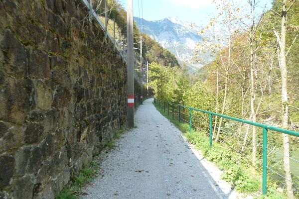
The bike tour starts at the striking "Schlägel und Eisen" sculpture in the spa park. From here, follow the road towards Loser and turn left at the first opportunity over the bridge. Immediately after the bridge, turn right and continue straight ahead. There follows a steep climb over the old "Steinbergstraße". At this point you are certainly glad to call good condition (or an e-bike) his own.
After about a kilometer you reach the Steinberghaus, here is also the entrance to the Salzwelten Altaussee. Continue straight on. In a sharp left turn is the access building to the "Kriechbaumberg". Here there is a viewing window in the door and the first meters of the route are illuminated.
After a glimpse into the world of the miners, the route continues along the gravel road. In short intervals follow the gallery portal to the Sandlingberg and a few hundred meters further the Moosberg. All gallery portals are provided with boards that give information about the respective location.
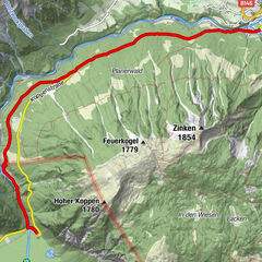
Continue straight ahead along the forest road until you reach a crossroads. Turn left here and follow the signs to Pflindsberg. A detour on foot to the ruins is rewarded with a wonderful view of Altaussee. A few hundred meters after the castle, the forest road merges into an asphalt road. Follow this road (and the serpentines) until you reach a crossroads. Here turn left into Lupitschstraße and continue to the end. At the end of the road turn right, past the Reischenböck nursery to the "Postillions Einkehr" inn. Turn left again here and follow the main road to the Kurpark.
- Highest point
- 1,038 m
- Endpoint
-
Altaussee spa park
- Height profile
-

- Equipment
-
A few tips for safe biking:
Before and after each bike tour check the air pressure, spoke tension and brake pads.
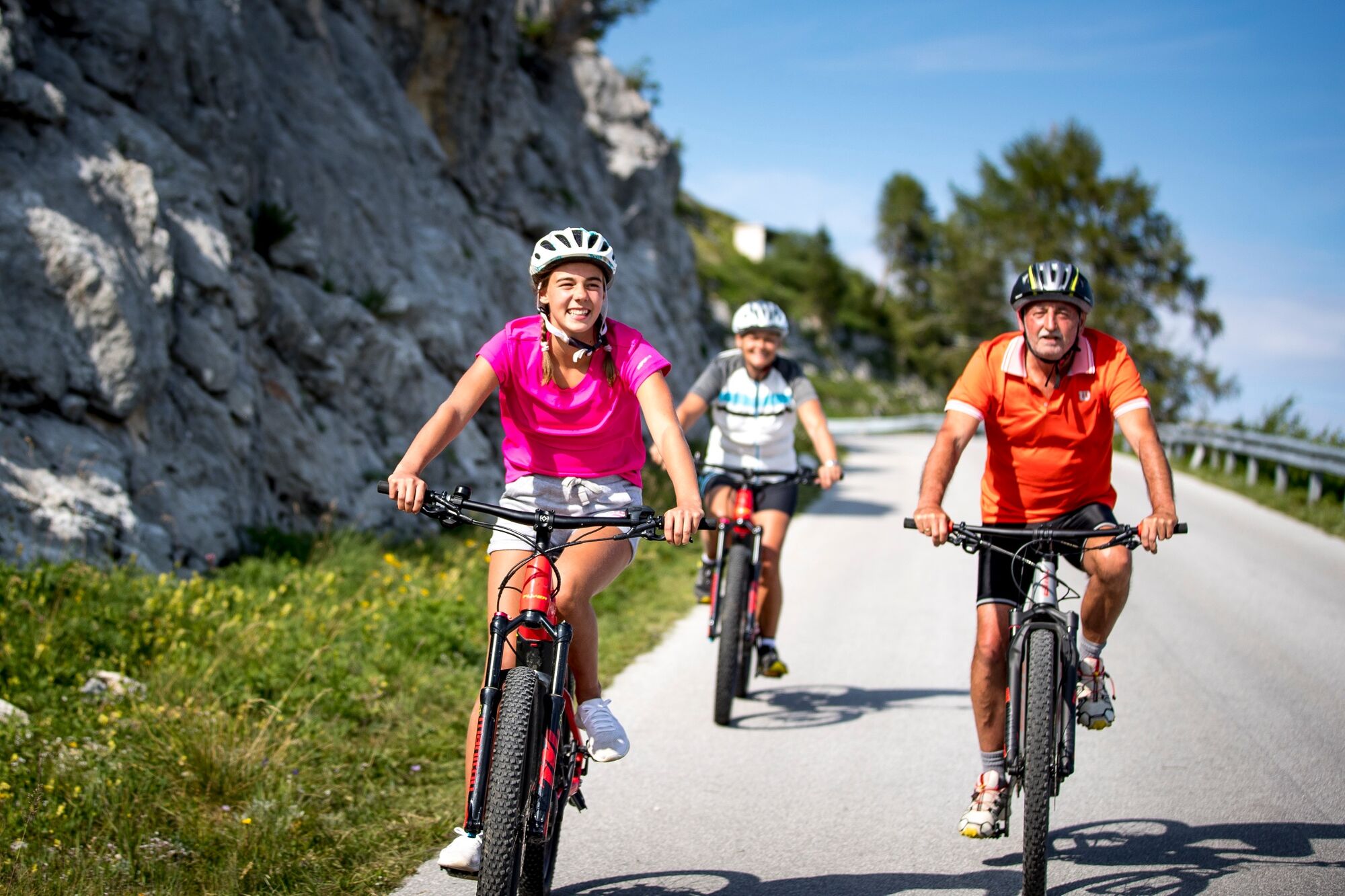
The helmet belongs to every tour.
Consider in advance what equipment you need: warm clothing, rain and wind protection, repair kit and first aid kit belong in the backpack. Also a charged cell phone. - Safety instructions
-
Emergency call rescue: 140
Emergency Reporting Tip - Provide answers to the six W questions:
What happened? How many injured? Where did the accident happen? (possibly GPS coordinates) Who is reporting? (callback number) When did the accident happen? Weather at the accident site?A big request: There is the VIA SALIS also as a footpath. However, this is mostly closed for cyclists. Please stay on the designated bike route and ride considerately!
- Tips
-
A visit to the Altaussee Salt Worlds is definitely worthwhile.
- Additional information
- Directions
- Public transportation
- Parking


-

-
AuthorThe tour VIA SALIS E-Bike Tour is used by outdooractive.com provided.