
- Brief description
-
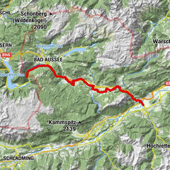
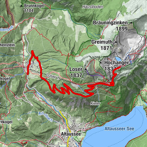
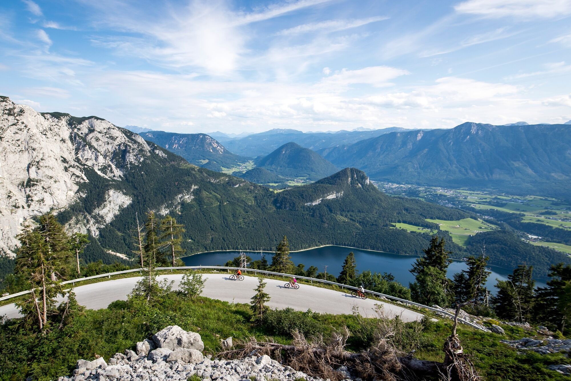
From the Loserarena (valley station of the Loser cable cars) along the nine-kilometer panoramic road up to 1,600 m.
- Difficulty
-
medium
- Rating
-
- Starting point
-
Loser arena
- Route
-
Jagdhof0.1 kmLoserhütte (1,498 m)7.3 kmDimmelwand9.0 kmJagdhof17.1 km
- Best season
-
JanFebMarAprMayJunJulAugSepOctNovDec
- Description
-
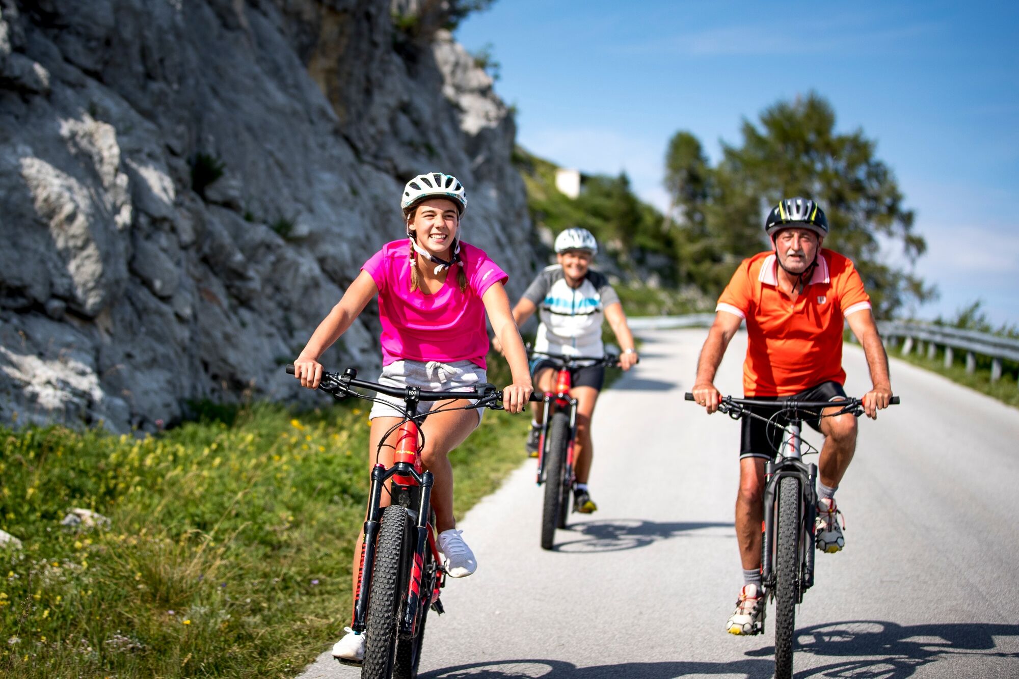
Starting at the Loserarena (valley station of the Loser cable cars), the nine-kilometer panoramic road leads up to the Loser.
- Directions
-
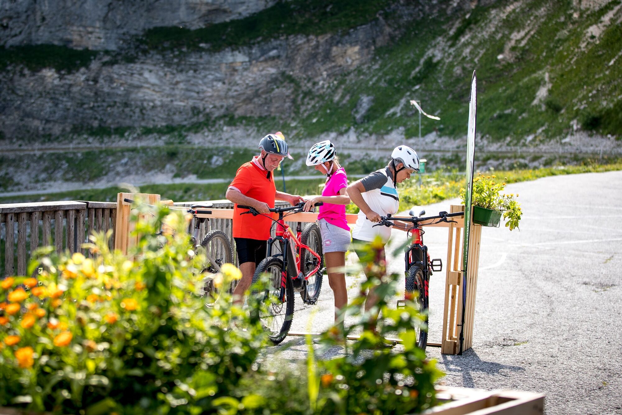
With the impressive Loser Panoramastraße, a fascinating natural gem in the Ausseerland Salzkammergut is opened up to mountain sports and nature lovers.
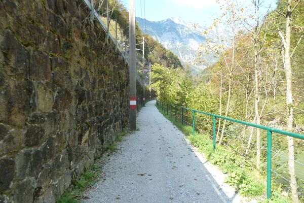
No matter whether this short route is climbed by road bike, mountain bike or an e-bike. This tour can be an experience at any time of day and is especially popular as an after-work tour.
- Highest point
- 1,602 m
- Endpoint
-
Parking lot at the end of Loserstrasse
- Height profile
-

- Equipment
-
A few tips for safe biking:
Before and after each bike tour check the air pressure, spoke tension and brake pads.
The helmet belongs to every tour.
Consider in advance what equipment you need: warm clothing, rain and wind protection, repair kit and first aid kit belong in the backpack. Also a charged cell phone. - Safety instructions
-
Emergency call rescue: 144
Emergency Reporting Tip - Provide answers to the six W questions:
What happened? How many injured? Where did the accident happen? (possibly GPS coordinates) Who is reporting? (callback number) When did the accident happen? Weather at the accident site? - Tips
-
If you haven't had enough after the mountain tour, you can still hike to the Augstsee (about 15 minutes walk), Loserfenster (about 45 minutes walk) or Loser summit (about 1.5 hours).
- Additional information
- Directions
- Public transportation
- Parking

- Author
-
The tour Loser panoramic road with the e-bike is used by outdooractive.com provided.