
- Brief description
-
This is an easy hike that is particularly suitable for families and children.
- Difficulty
-
easy
- Rating
-
- Starting point
-
Information Office, Krakau
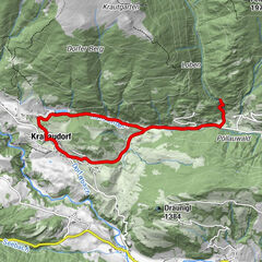
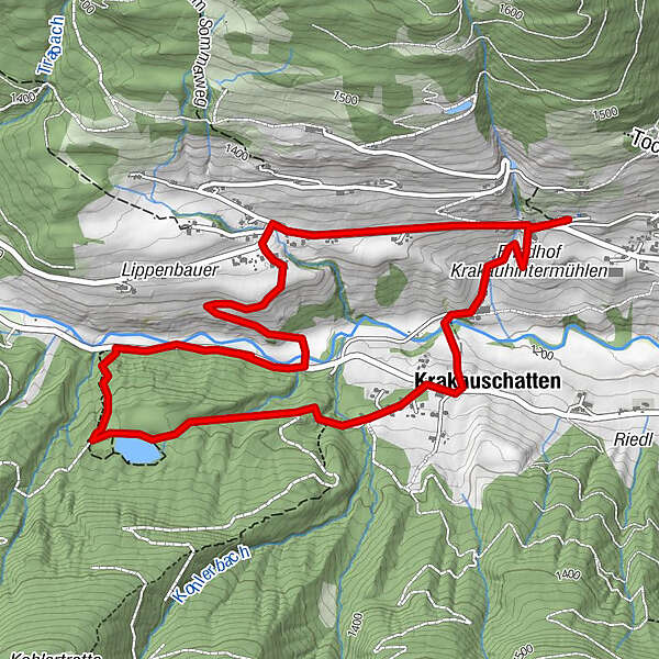
- Route
-
KrakauebeneRestaurant StigenwirthPfarrkirche hl. Ulrich0.1 kmKrakauschatten1.0 kmKlausen4.9 kmPfarrkirche hl. Ulrich5.6 kmRestaurant Stigenwirth6.2 kmKrakauebene6.3 km
- Best season
-
JanFebMarAprMayJunJulAugSepOctNovDec
- Description
-
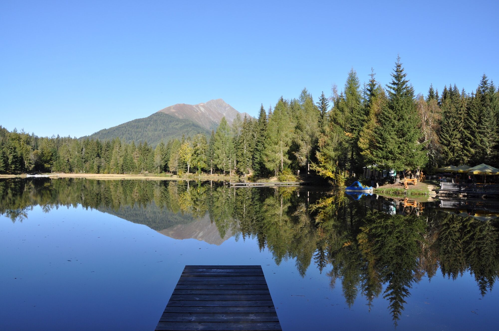
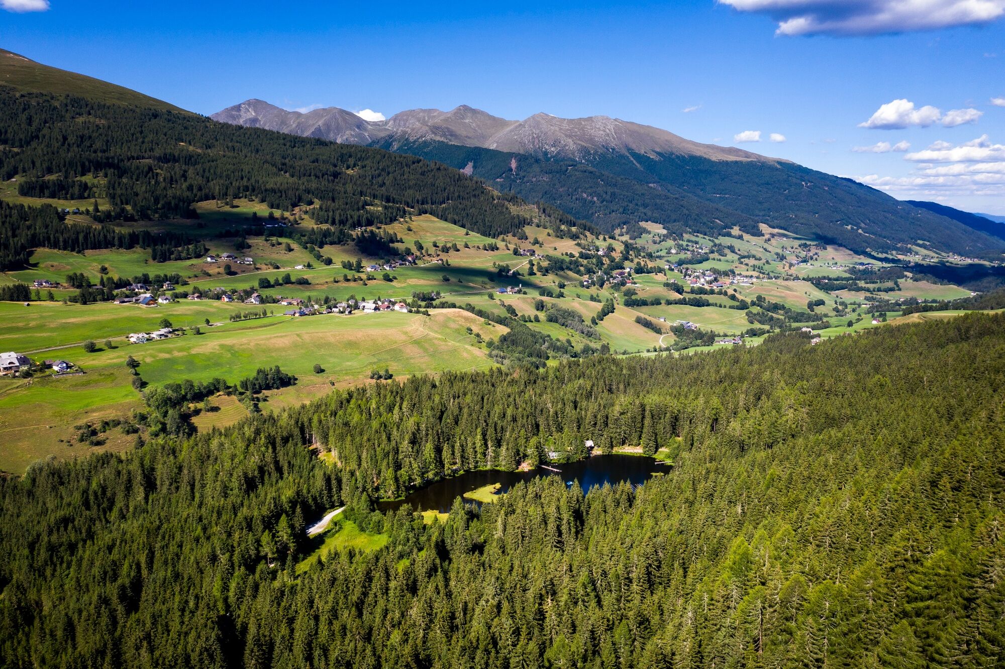
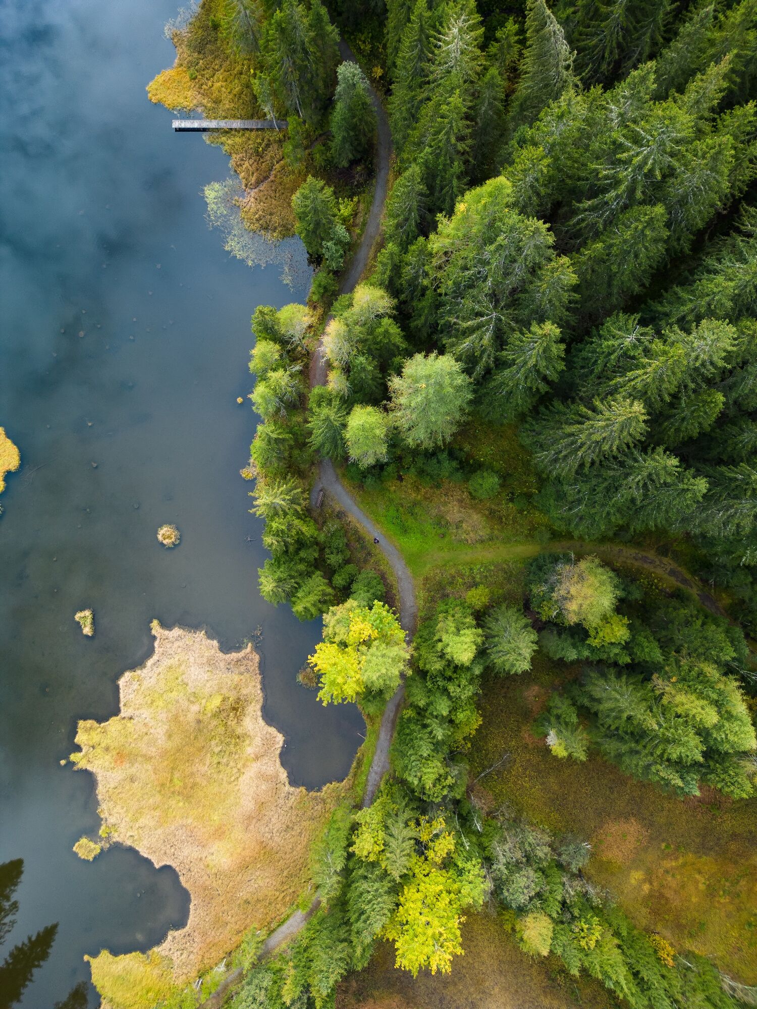
This tour mostly runs through the forest, so you can really enjoy nature. This hike also offers a good opportunity to get to know the towns of Klausen and Krakauhintermühlen better.
- Highest point
- 1,329 m
- Endpoint
-
Information Office, Krakau
- Height profile
-

- Equipment
-
Nordic walking equipment
Sporty clothing
Sun protection
Possibly food - Additional information
-
The ideal time for this tour is March to November.
- Directions
-
East: From Vienna on the A 2 and S 6 to Leoben and St. Michael i. d. E., continue on the S 36 to Judenburg and on the B 96 to Murau. From Murau via Ranten to Krakau.
West, North: From Bregenz/Innsbruck via the A 12, A 93 and A 8 to Salzburg. From Salzburg on the A 10 to St. Michael im Lungau. From here on the B 96 to Tamsweg and further towards Murau via Sauerfeld to Krakau.
South: From Klagenfurt on the B 83 to Scheifling. Then take the B 96 to Murau and on to Krakau.
- Public transportation
-
With the BusBahnBim app from the interconnected line, timetable information is easier than ever before: all bus, train and tram connections in Austria can be queried by entering locations and/or addresses, stops or important points. The app is available as a free app for smartphones (Android, iOS) - on Google Play and in the App Store.
- Parking
-
Public parking spaces are available right next to the Krakau Information Office.
- Author
-
The tour Schattensee is used by outdooractive.com provided.