- Brief description
-
Easy walk for in-between times - good alternative for bad weather.
- Difficulty
-
easy
- Rating
-
- Starting point
-
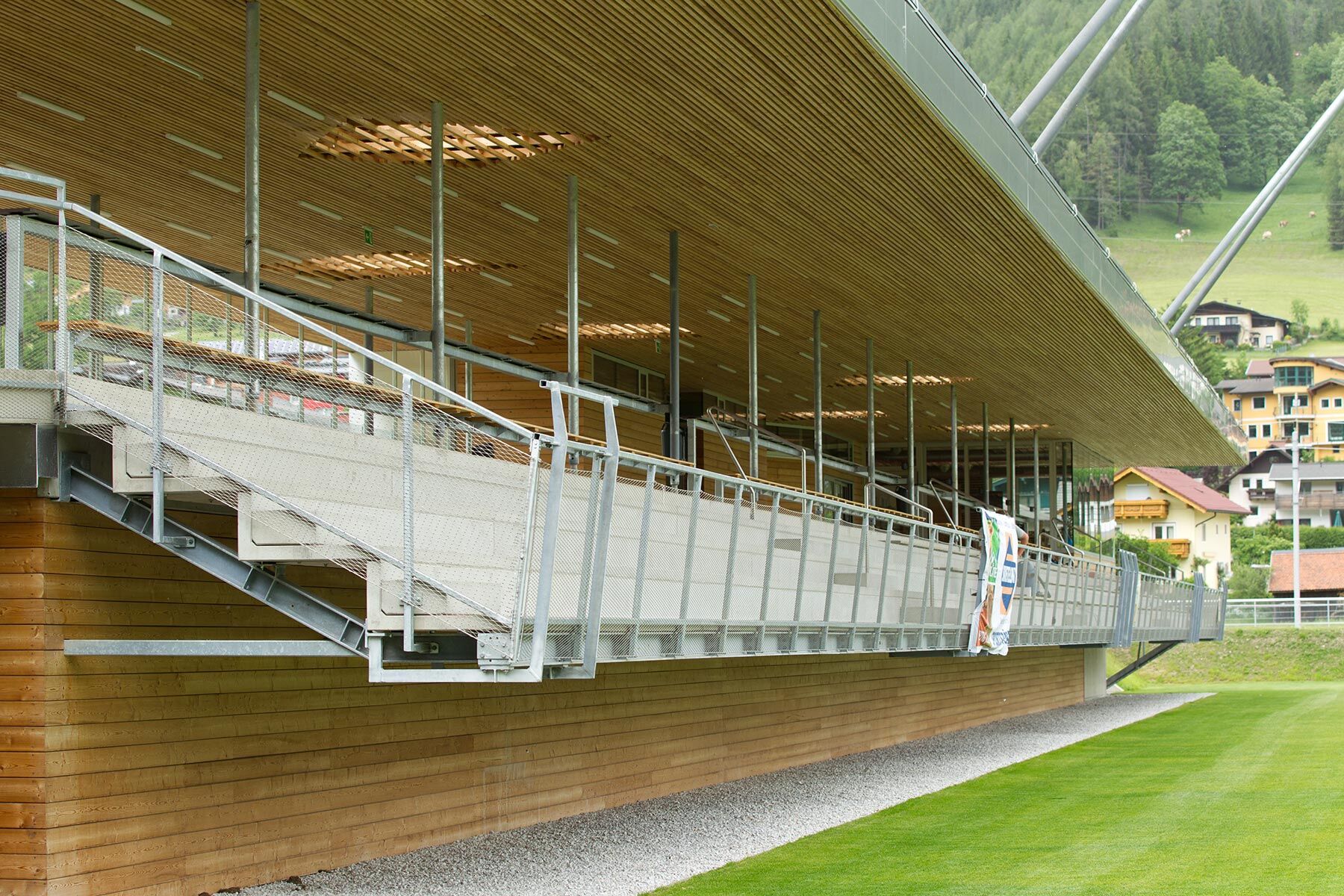
Hiking trail head Planai stadium
- Route
-
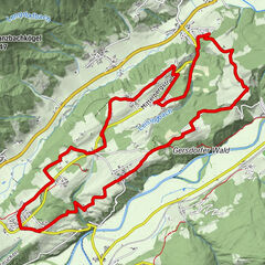
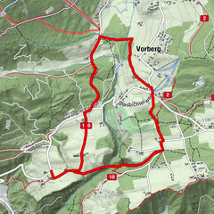
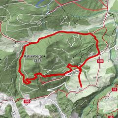
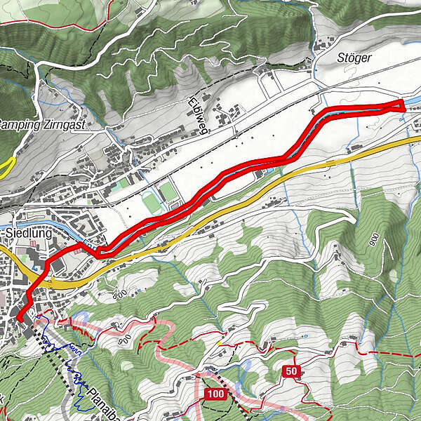
Schladming (745 m)0.0 kmSchladming (745 m)5.9 km
- Best season
-
JanFebMarAprMayJunJulAugSepOctNovDec
- Description
-
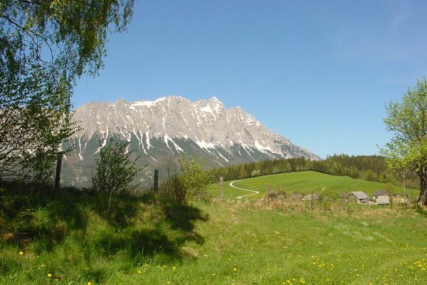
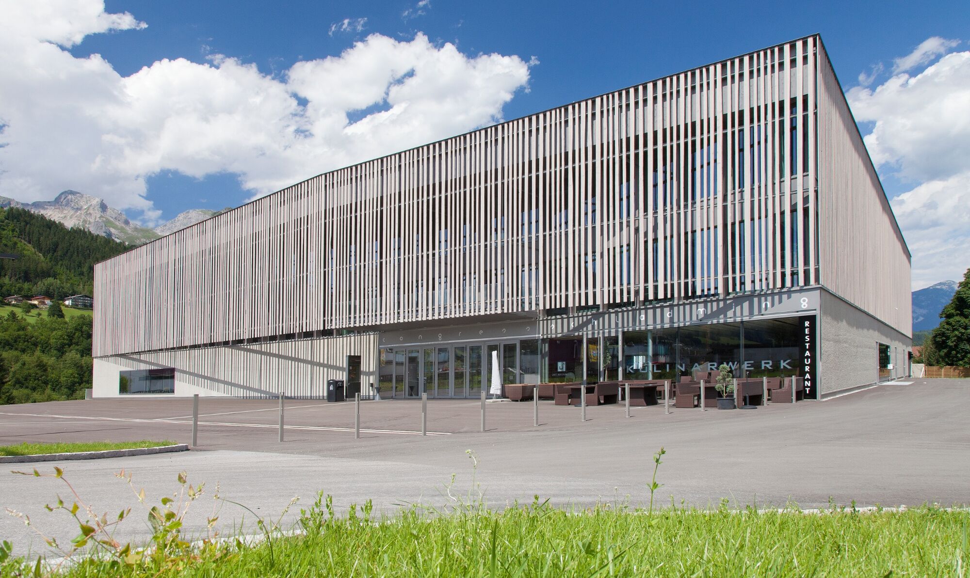
This route takes you from the stadium in the direction of the congress center, passing this to the right and bringing you to the right bank of the River Enns, which you will then follow as far as Lehenbrücke bridge, then taking the left bank of the Enns back to the start.
Trail characteristics:
street through the town, then meadow trail along the river Enns
Infrastructure:
Car parking at Planai stadium
Refreshment stops:
Restaurant Poolhouse, Sporthotel Royer
- Directions
-
From the hiking trail head at Planai stadium you walk past Hotel Barbara towards Augasse road and congress Schladming. Between congress Schladming and Hotel Falkenstainer the trail takes you to the river Enns. Make a right and you reach the pedestrian bridge "Gollobsteg" (Schladming's running routes begin here). It is your choice now whether you take the trail along the left or right bank of the river Enns. You walk downstream for approximately 2 kilometers, where you cross the Lehenbrücke bridge and make your way back on the other side of the river.
- Highest point
- 739 m
- Endpoint
-
Hiking trail head Planai stadium
- Height profile
-

- Equipment
-
Good walking shoes and custom-fit Nordic Walking poles are the standard equipment. We also recommend a belt for carrying a drinking bottle.
- Additional information
- Directions
-
Exit from federal highway B320 at the exit "Schladming-Ost" and continue to the valley terminal of Planai cable-car at Planai stadium.
- Public transportation
- Parking
-
Car parking is available at Planai stadium.


-

-
AuthorThe tour Enns River Walking Tour is used by outdooractive.com provided.