- Brief description
-
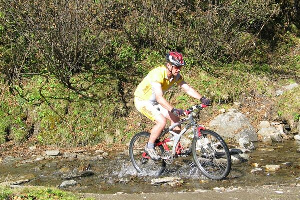
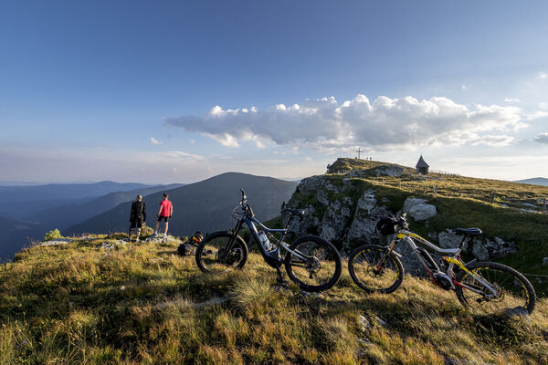
The mountain bike tour is a challenging tour, which is suitable for athletic and trained cyclist. Immerse yourself in the breathtaking ambience of your vacation region, the tranqulity and enjoy the tour into the alpine pasture.
- Difficulty
-
medium
- Rating
-
- Starting point
-
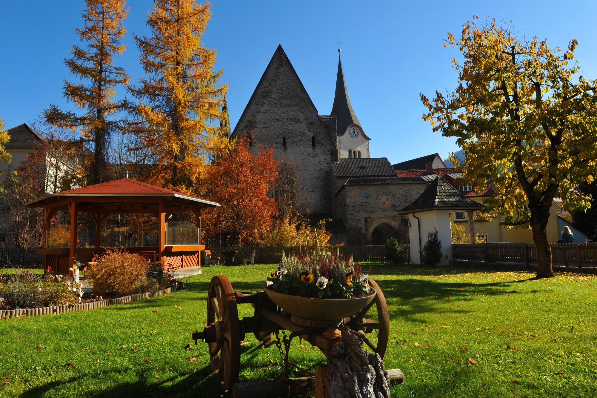
Church square Oberwölz
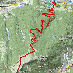
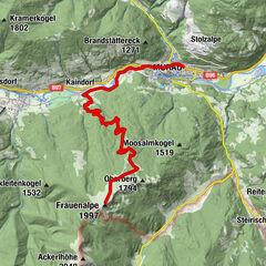
- Route
-
Pfarrkirche hl. MartinStadtOberwölz0.0 kmFilialkirche hl. Sigismund0.0 kmJohannes-Nepomuk-Kapelle0.1 kmVorstadt0.2 kmWieden1.0 kmMainhartsdorf1.9 kmWinklern bei Oberwölz3.0 kmWallfahrtskirche Maria Altötting3.0 kmGasthaus Brunner3.0 kmGletscherhöhle Oberwölz4.0 kmEselsberg7.8 kmFunklhütte14.7 kmNeunkirchner Hütte16.2 kmHölzerhütte16.4 km
- Best season
-
JanFebMarAprMayJunJulAugSepOctNovDec
- Description
-
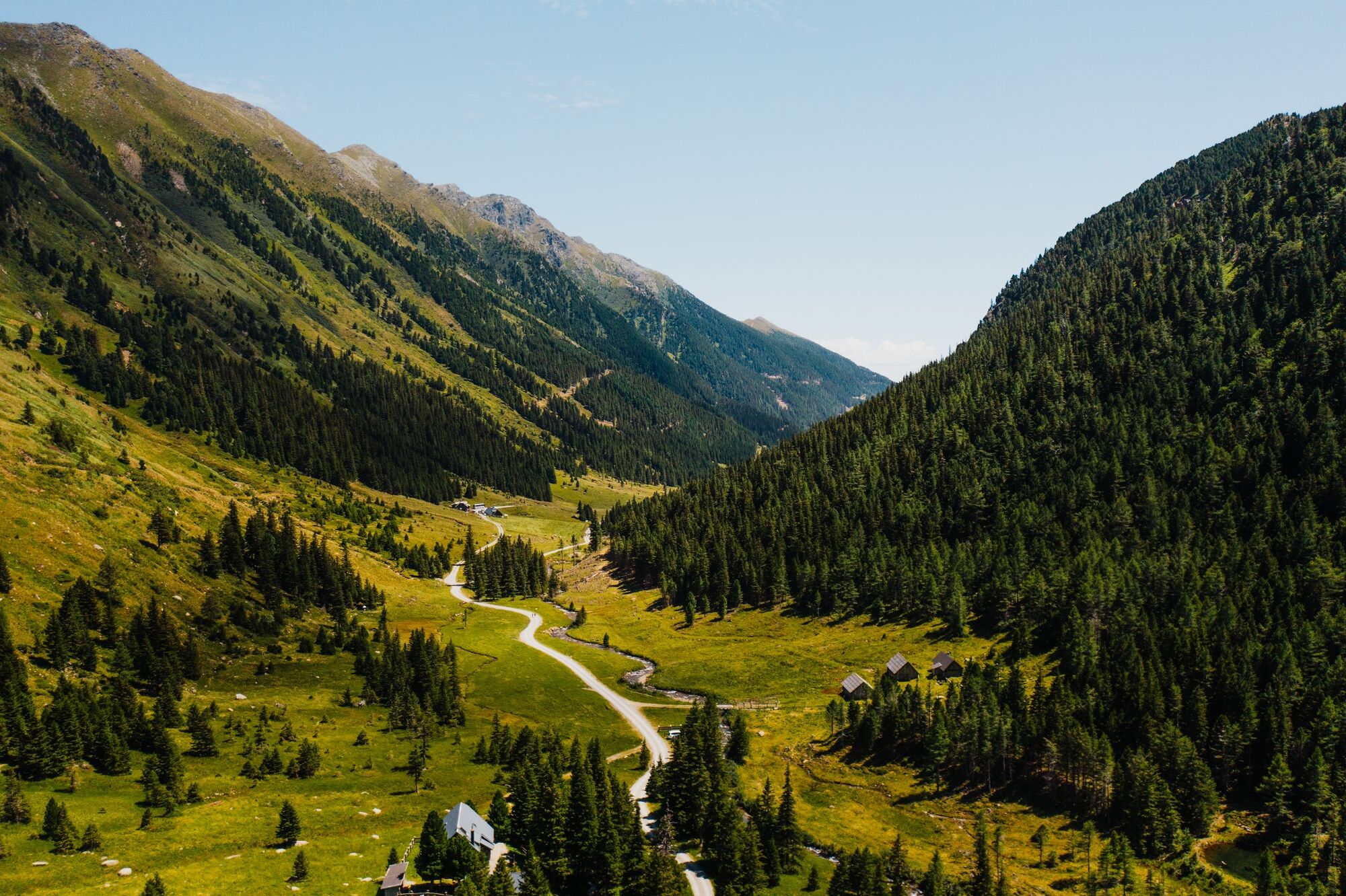
The start of this tour is in the historic town of Oberwölz at the church forecourt and leads into the bautiful hiking region of the Eselsbeger Almen. Arrived at the end of the tour, the extensive bike ride is rewarded with the view of the breathtaking, falling Eselsberger waterfall.
- Directions
-
Starting point of this tour is the church square in Oberwölz. From there you ride through the Hintereggertor to the main road, which you cross and continue on the bike path to Winklern. In Winklern you ride a short distance on the state L512 in the direction of the end of Winklern. Then take the cycle path that runs along the main road and continue for about 50 meters until you reach a bridge. Before this bridge turn right to Eselsberg and follow the municipal road. In Eselsberg you will come to a crossroads where you could turn right to Hinteregg. Here you go straight on. At the next intersection turn left over a bridge and stay on this road until you reach the Eselsberger Alm.
- Highest point
- 1,535 m
- Endpoint
-
Eselsberger Alm, Hölzler Hütte
- Height profile
-

- Equipment
-
Helmet
Suitable footwear
Sportswear
Water bottle etc. - Safety instructions
-
The mountainbike trail is partly a public road where cars are also allowed to drive. Please ride on the right side of the road and watch out for other vehicles.
- Tips
-
In the Eselberger Alm there are managed huts, where you can be entertained amicably and stop after a strenuous mountain bike tour. From there you can (if necessary) still climb one or the other mountain.
- Directions
-
Coming from Judenburg via Unzmarkt to Scheifling. Here turn right in the direction of Murau. In Niederwölz turn right towards Oberwölz.
Coming from Murau via Teufenbach to Niederwölz, turn left towards Oberwölz.
Coming from Tamsweg, drive via Ranten, to St. Peter am Kammersberg and via Pöllau am Greim to Oberwölz.
- Public transportation
-
With the BusBahnBim app of Verbundlinie, timetable information is easier than ever: all connections by bus, train and streetcar in Austria can be queried by entering locations and/or addresses, stops or important points. The app is available as a free app for smartphones (Android, iOS) - on Google Play and in the App Store.
- Parking
-
You have the following parking possibilities:
- Below the parish church in Oberwölz
- At the leisure center in Oberwölz
- Above the town
- Author
-
The tour Oberwölz to the Eselsberger Alm is used by outdooractive.com provided.