
- Brief description
- Difficulty
-
medium
- Rating
-
- Starting point
-
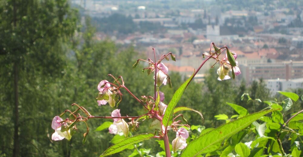
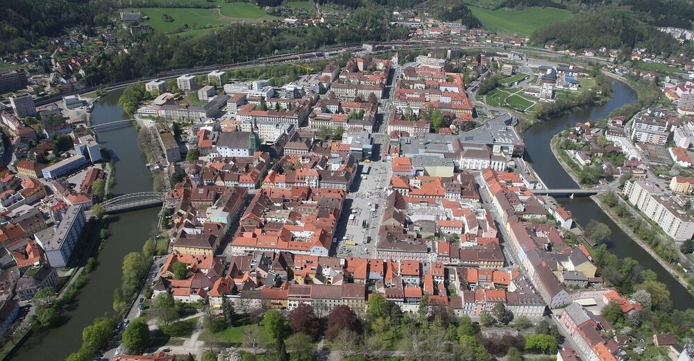
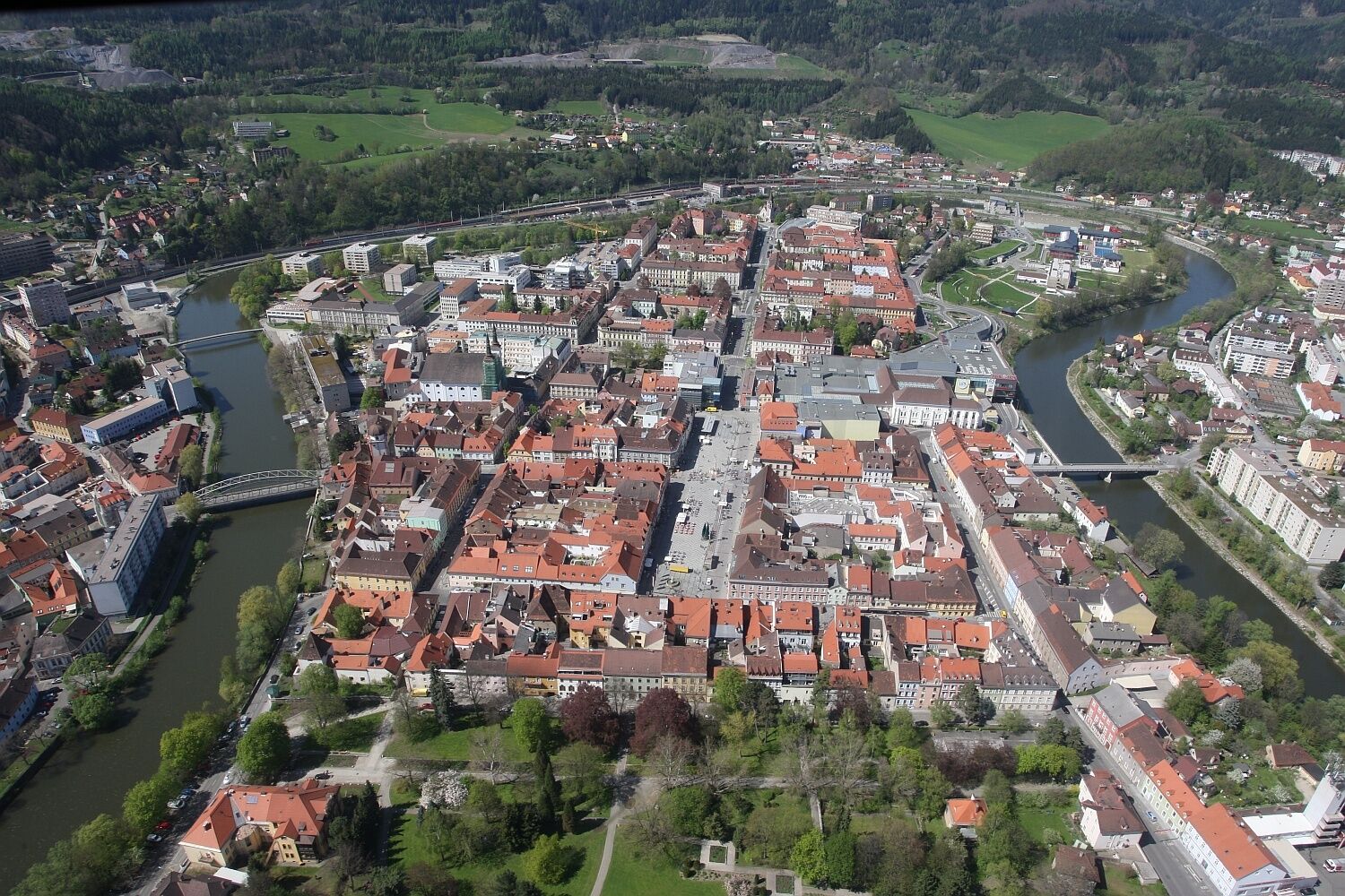
Leoben main square
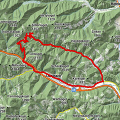
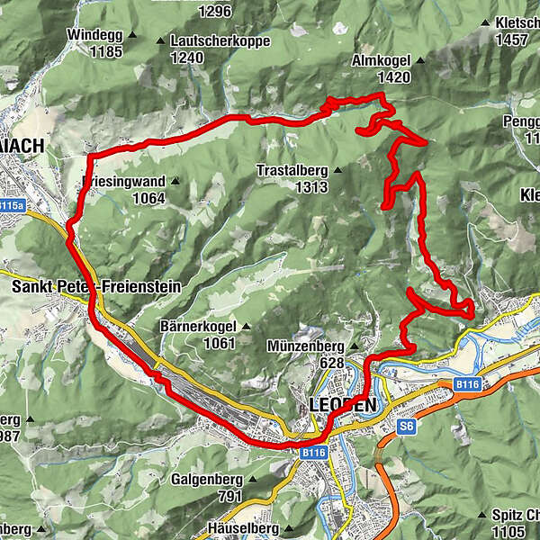
- Route
-
LeobenLeoben0.2 kmJudendorf0.7 kmSeegraben1.5 kmProleb5.6 kmTrastal18.6 kmLaintal21.0 kmGasthaus Mossauer23.0 kmGmeingrube24.0 kmSankt Peter-Freienstein24.9 kmGasthof Freiensteinerhof Kohlhuber25.9 kmHalodri29.2 kmDonawitz30.1 kmPfarrkirche Maria am Waasen31.8 kmWaasen31.8 kmLeoben32.1 kmLeoben32.2 km
- Best season
-
JanFebMarAprMayJunJulAugSepOctNovDec
- Description
-
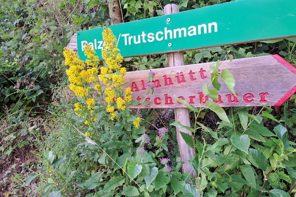
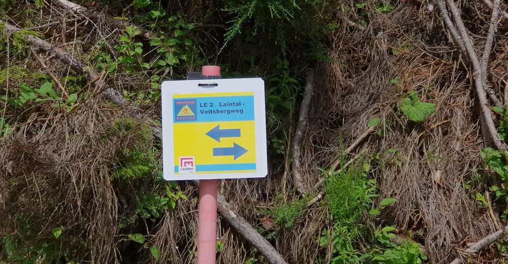
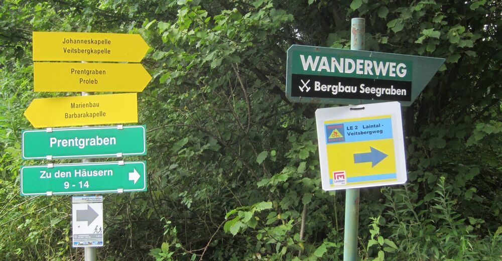
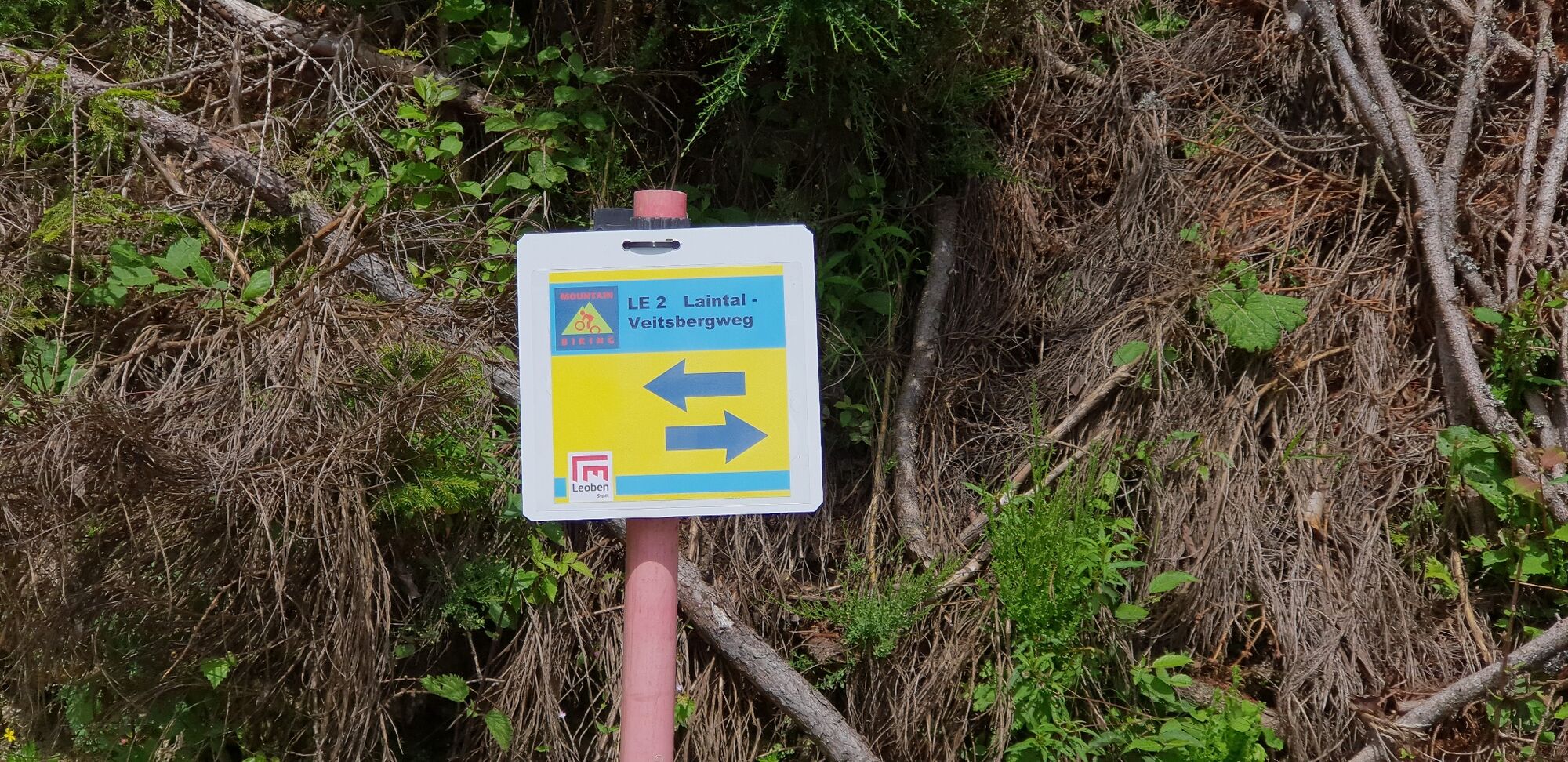
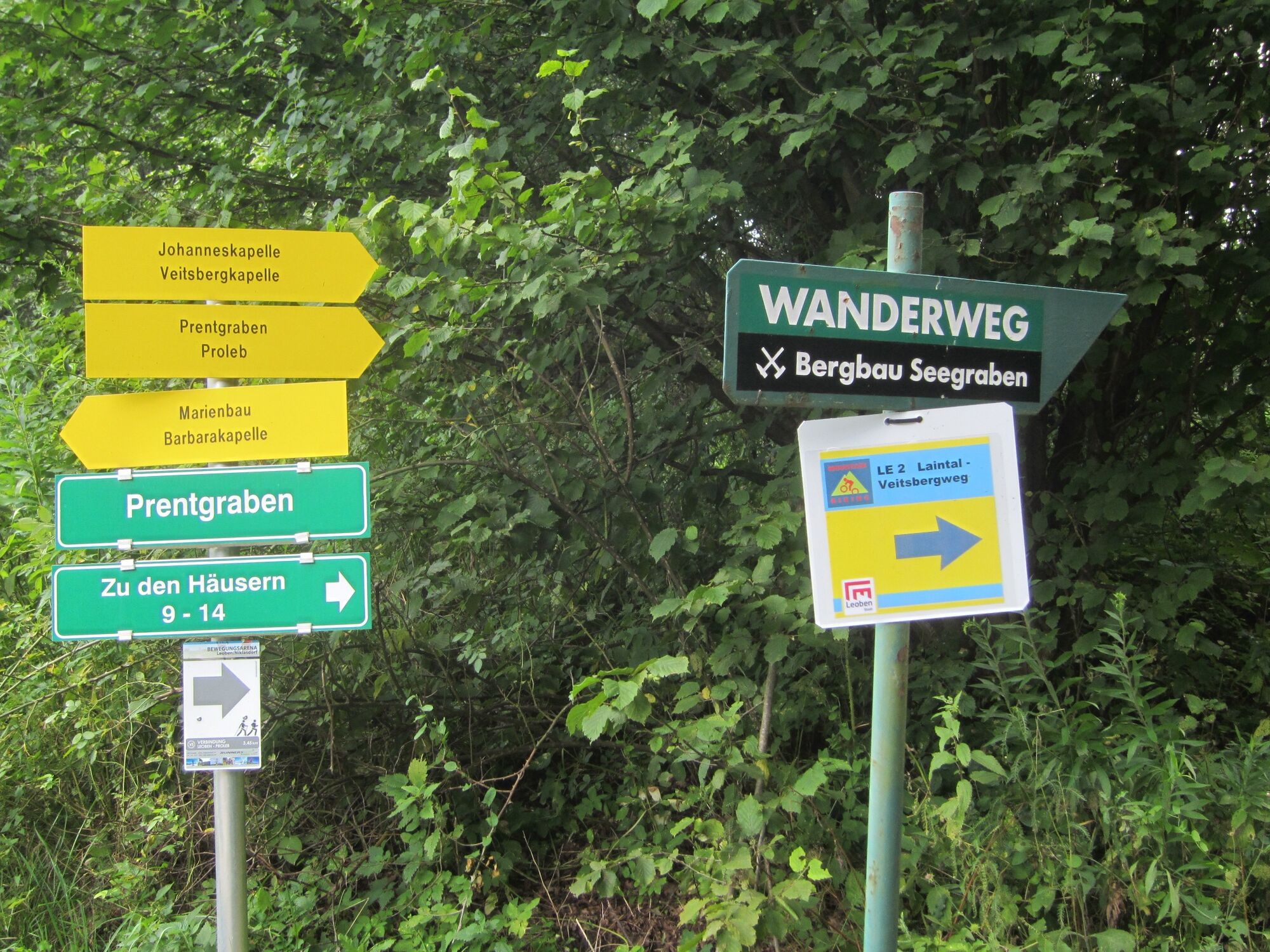
The mountain bike route LE2 of the city of Leoben starts in the heart of the city at the main square and leads via the district of Judendorf to Seegraben over the Veitsberg into the municipality of Proleb. From here it continues down into the Laintal, in the municipality of Trofaiach and via St. Peter/Freienstein back to the city center of Leoben.
- Directions
-
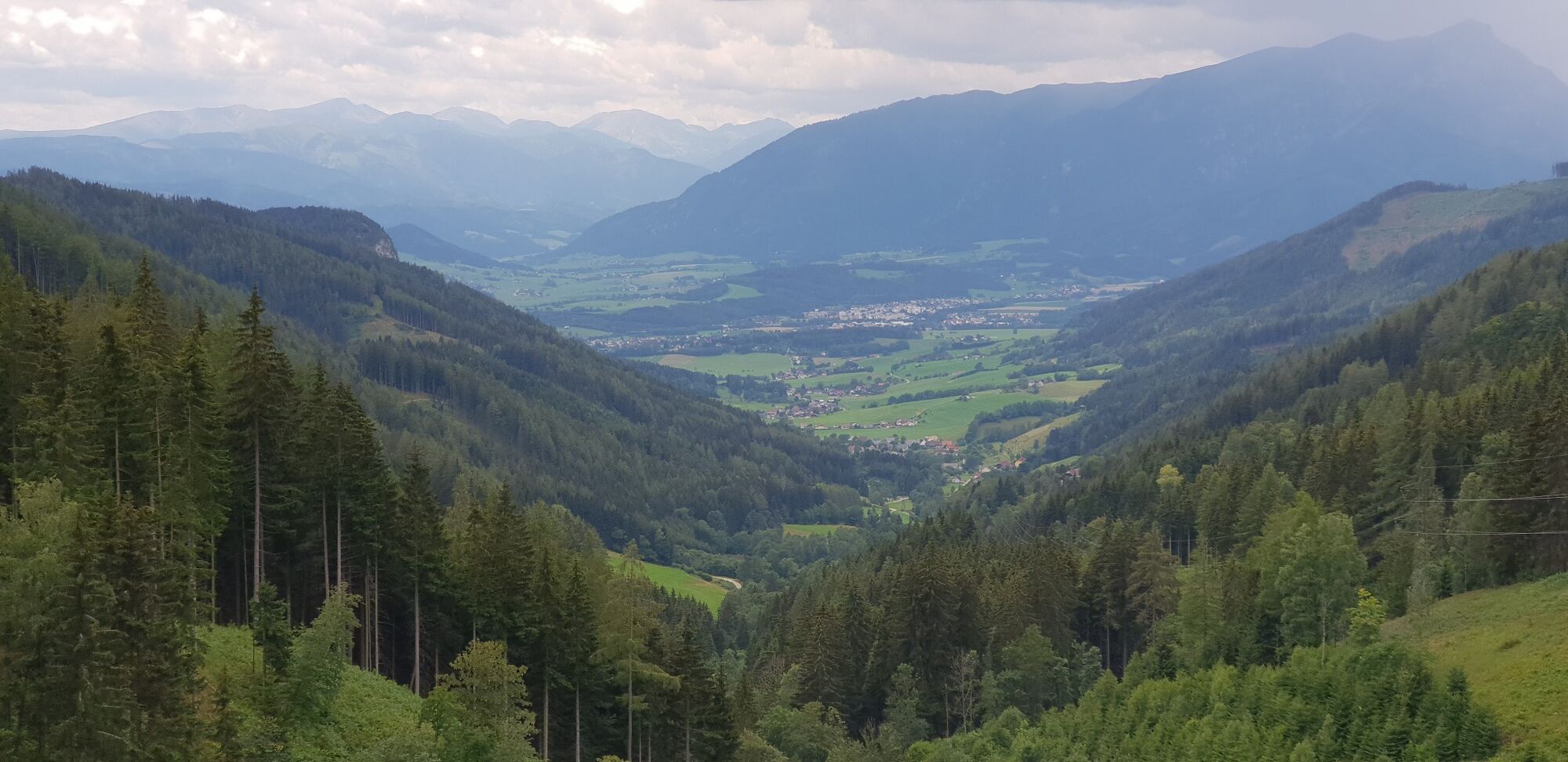
From Leoben's main square you start via the district of Judendorf in the direction of Seegraben, where you take the Veitsbergweg at the Seegraben elementary school in attack! The Veitsbergweg you then drive completely out and goes partly also over the border down to the municipality of Proleb.After about 13 kilometers and reach the highest point of the route it goes down into the Laintal.
After 25 kilometers you reach the community of St.Peter ob Freienstein with the beautiful pilgrimage church Maria Freienstein, which watches over the small community!
Via the district of Donawitz past the eternally long buildings of Voest Alpine Donawitz, you then cycle the last kilometers back to Leoben. At one of the many cafes on Leoben's main square, a cool Gösser awaits as the end of a beautiful day.
- Highest point
- 1,245 m
- Endpoint
-
Leoben main square
- Height profile
-

- Equipment
-
A few tips for safe mountain biking:
Check your bike after each tour the air pressure, spoke tension and brake pads.
The helmet belongs to every mountain bike tour.
Consider in advance what equipment you need: warm clothing, rain and wind protection, repair kit and first aid kit belong in the backpack, as well as a charged cell phone.
The tour can be done by mountain bike.
Tip: A basic equipment of tools and accessories such as spare inner tube and/or repair kit, spanner, air pump, brake and shift cable as well as a screwdriver can never hurt.
Don't forget a spare battery (no charging possibility) and your own bike lock!
- Safety instructions
-
This route is recommended for trained mountain bikers.
- Stay on the designated trails!
- Do not leave litter!
- Hikers and pedestrians have priority!
- Ride responsibly and in half-sightedness!
- Ride only a technically perfect bike!
The tour can be done by mountain bike.
Planning your desired tour properly in advance is a must.
Emergency call rescue: 144
Emergency reporting tip - give answers to six important questions: What happened? How many injured? Where did the accident happen (possibly GPS coordinates)? Who reported the accident (call-back number)? When did the accident happen? Weather at the accident site?
- Tips
-
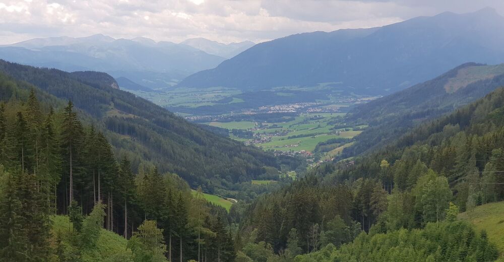
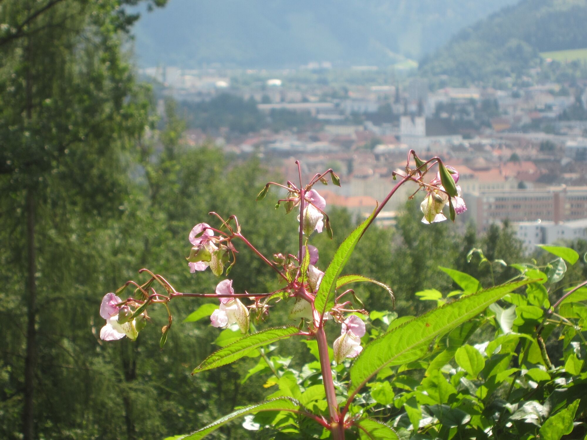
Take a short break at the highest point of the route and enjoy the magnificent panorama into the Lain Valley and share it with others!
- Additional information
- Directions
-
Accessible via the Semmering expressway S6 from the Murtal and Mürztal valleys via the Leoben Ost and Leoben West exits.
- Public transportation
-
You can reach us by train from any direction. From the train station in Leoben it takes about 6 minutes by bike or 10 minutes on foot to the starting point at the main square.
With the BusBahnBim app of the Verbundlinie, timetable information has never been easier: all bus, train and tram connections in Austria can be queried by entering locations and/or addresses, stops or important points. The app is available as a free app for smartphones (Android, iOS) - on Google Play and in the App Store
- Parking
-
Parking spaces in the LCS (underground parking lot) or Hauptplatz underground parking lot both with costs as well as blue and green zone in the center of leoben, also with costs!
- Author
-
The tour MTB Leoben Laintal Runde LE 2 is used by outdooractive.com provided.


General info
-
Erzberg Leoben
174
-
Hochschwab
78
-
Leoben
25