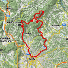
Tour data
8.21km
381
- 740m
378hm
01:00h
- Brief description
-
Trainingstour in Graz
- Rating
-
- Starting point
-
Baiernstraße
- Route
-
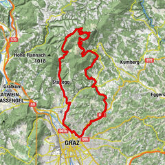
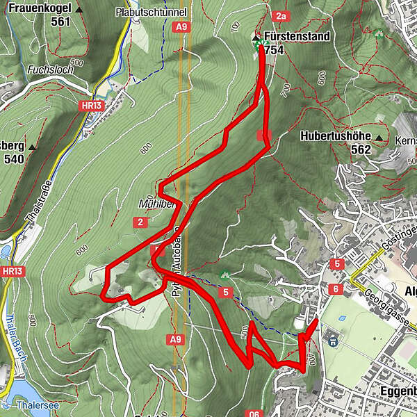
Plabutsch2.6 kmMühlberg (720 m)3.0 kmFürstenstand (758 m)4.5 kmGraz (353 m)8.2 km
- Highest point
- 740 m
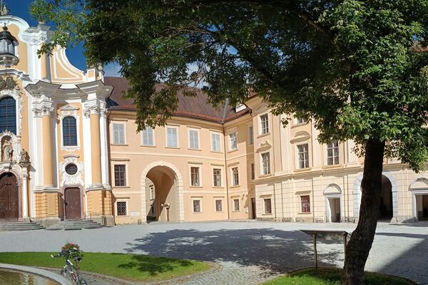
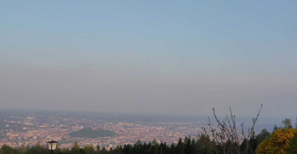
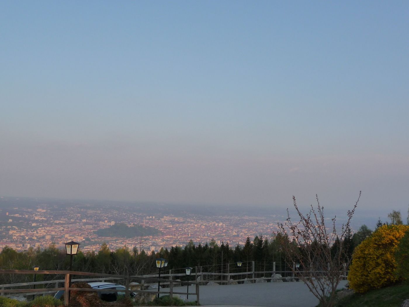
- Rest/Retreat
-
Fürstenstand
GPS Downloads


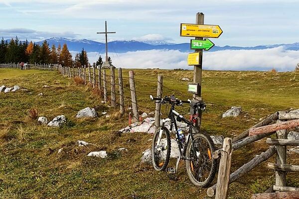
Surfaces
Asphalt
Gravel
Mountain paths
Single trails
Trial
Traffic
Other tours in the regions
-
Erlebnisregion Graz
214
-
Graz und Region Graz
121
-
Thal
64