- Brief description
-
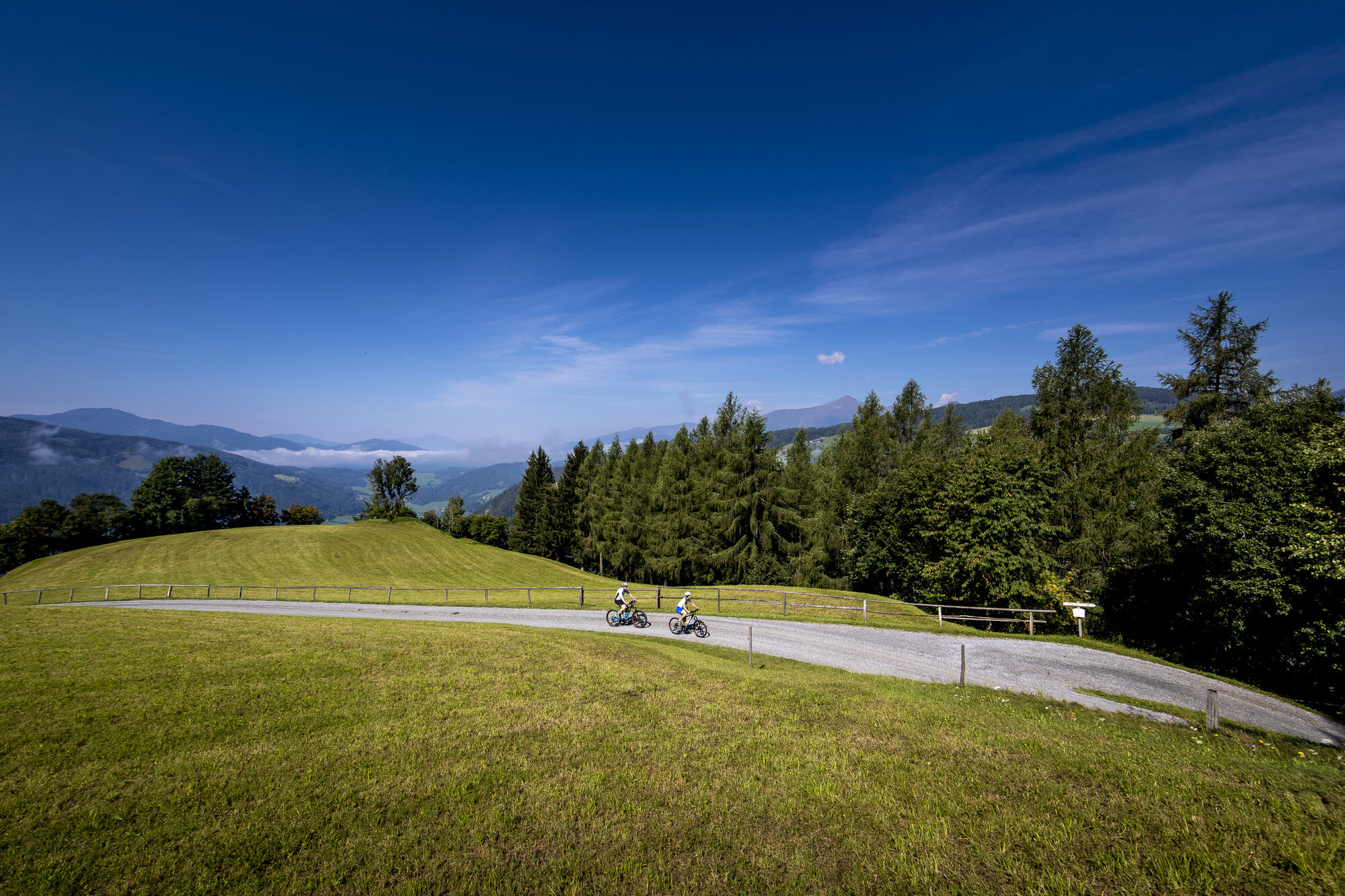
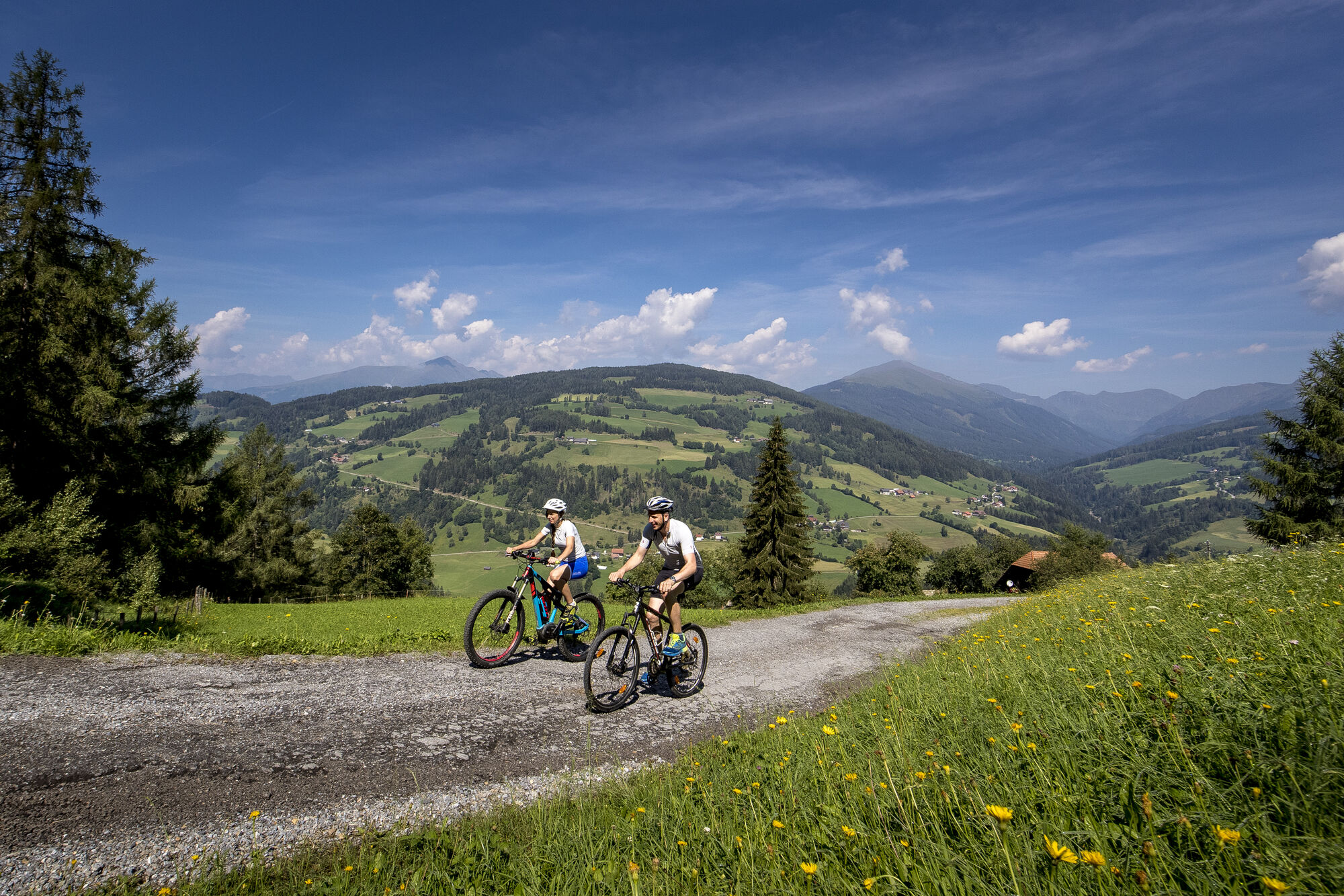
Medium-difficulty tour in the Rantental, up to 8% gradient - short hike to Draunigl.
- Difficulty
-
medium
- Rating
-
- Starting point
-
Information office Murau
- Route
-
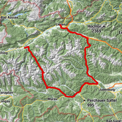
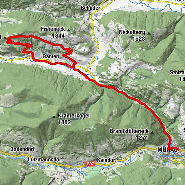
Murau (829 m)0.6 kmGalgenwiese2.8 kmFreiberg11.1 kmRatschfeld17.9 kmRanten19.0 kmTratten20.2 km
- Best season
-
JanFebMarAprMayJunJulAugSepOctNovDec
- Description
-
Information office Murau - west to the first double traffic circle right off direction Ranten - Rantenradweg R 63 to power plant - left off - Richtstätte (gallows) - Kulmhammer - left off - Tratten - leave R63 to the right - over the Rantenbrücke to the state road - right off after 100 m left off direction Freiberg - start of the moderate mountain route to the highest bike point 1382 m - crossing Krakaublick left downhill - after approx. 300 m in the left curve goes right the short footpath to Draunigl high about 10 min - descent as ascent - descent to Ratschfeld - at the provincial road left off - after 300 m right off over the bridge to R63 - left off to Murau.
- Highest point
- 1,386 m
- Ticket material


Surfaces
-
TourismusRegion Murau
144
-
Naturpark Sölktäler
88
-
Ranten
42