
- Brief description
-
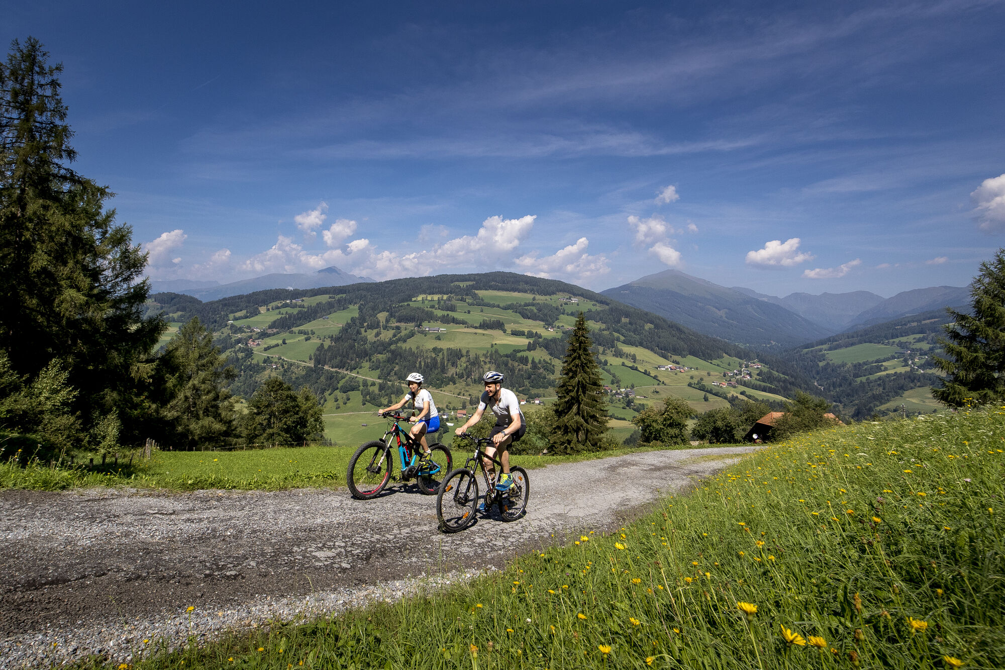
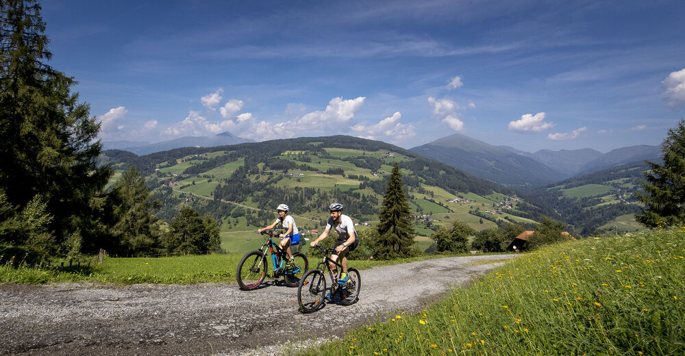
Panoramic bike tour for strong calves, gravel road up to 15% incline and decline - municipal roads, state road moderately used - 17.5km asphalt - 8.5km gravel
- Difficulty
-
medium
- Rating
-
- Starting point
-
Information office Murau
Signage: Rantenradweg R 63, Bike 1, Murradweg R 2 - Route
-
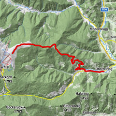
Murau (829 m)0.5 kmStolzalpe7.8 kmMesskapelle zum Hl. Erlöser8.0 kmTriebendorf15.9 kmSankt Egidi21.8 kmEgidikirche21.8 kmEgidiwirt21.9 kmMurau (829 m)22.7 km
- Best season
-
JanFebMarAprMayJunJulAugSepOctNovDec
- Description
-
Information office Murau - west to the first double traffic circle turn right towards Ranten - Rantenradweg R63 to power plant - right over the bridge - then turn left - gravel road to vlg. Perschl - 1st crossing at the chapel turn left - 100 m asphalt - 2nd crossing turn right again on gravel road - crossing vlg. Neumann crossroads turn right towards Stolzalpe - after approx. 500 m end of gravel road - junction with main road turn left to LKH Stolzalpe Haus 2 highest point of the tour 1296 m - descent towards Murau to crossroads vlg. Steinwender - leave the Landesstraße (follow the signs) - turn left at the Lankmaier junction - end of the asphalt road - stay right at the vlg. Moser stay right - farm crossing Achner - departure to the Grabenbrücke end of the gravel road -Ortsdurchfahrt Triebendorf to Bundesstraße - cross this - direction Karchau/Dürnberg to the Murbrücke - before it right and the R 2 to Murau.
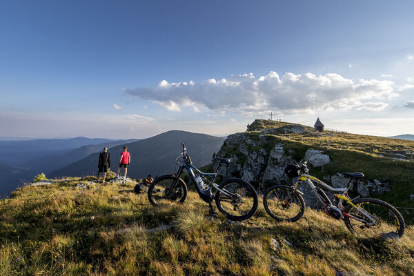
- Highest point
- 1,296 m
- Ticket material