- Brief description
-
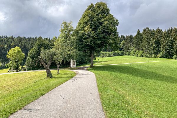
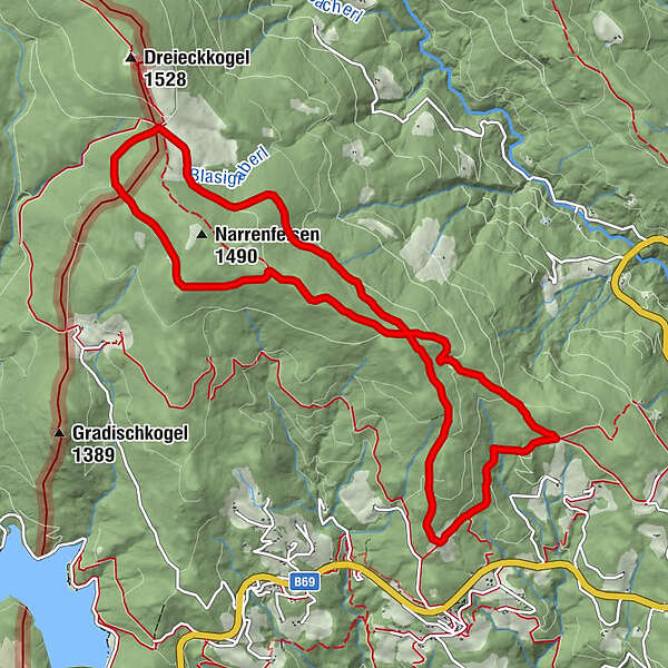
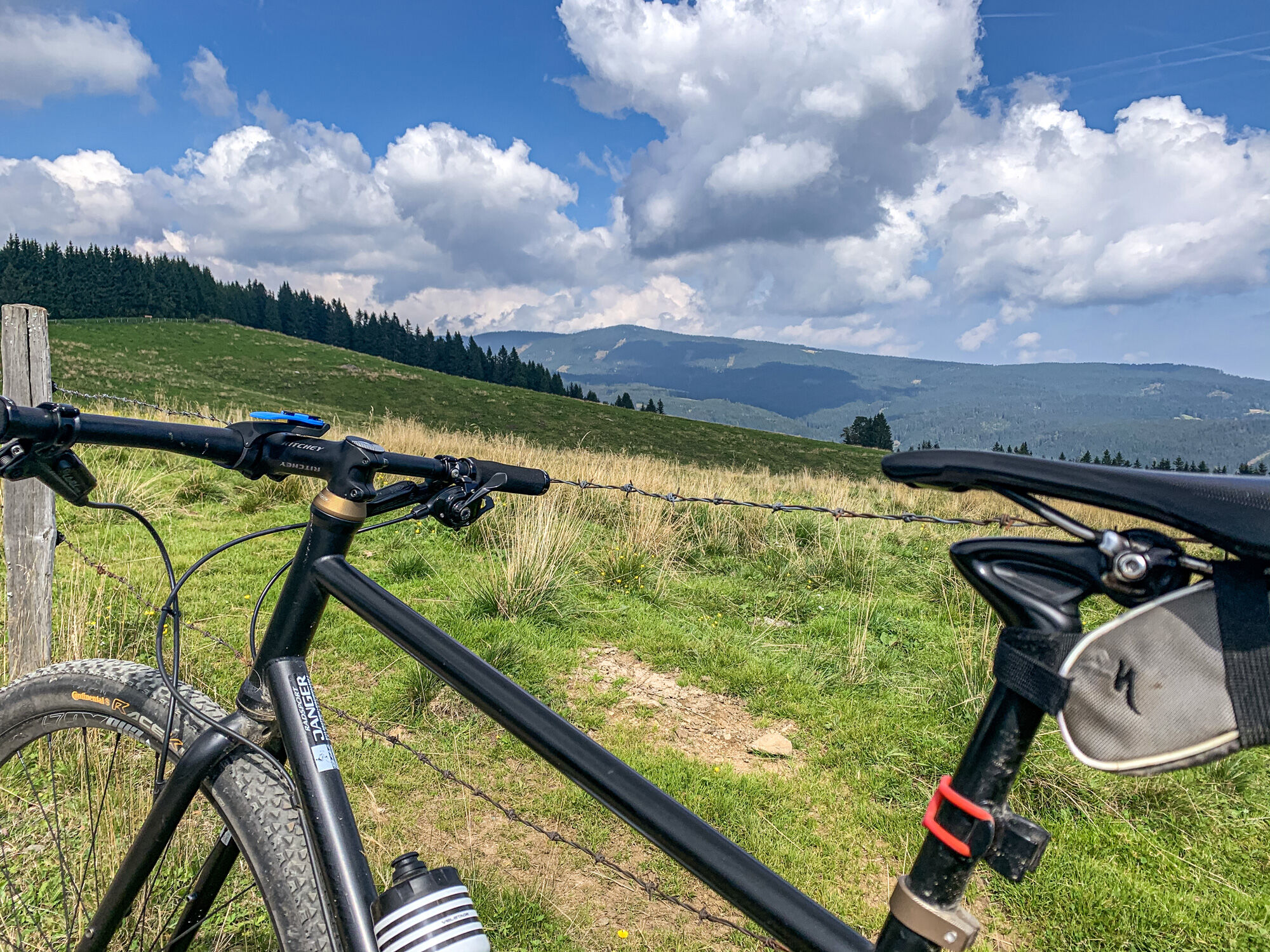
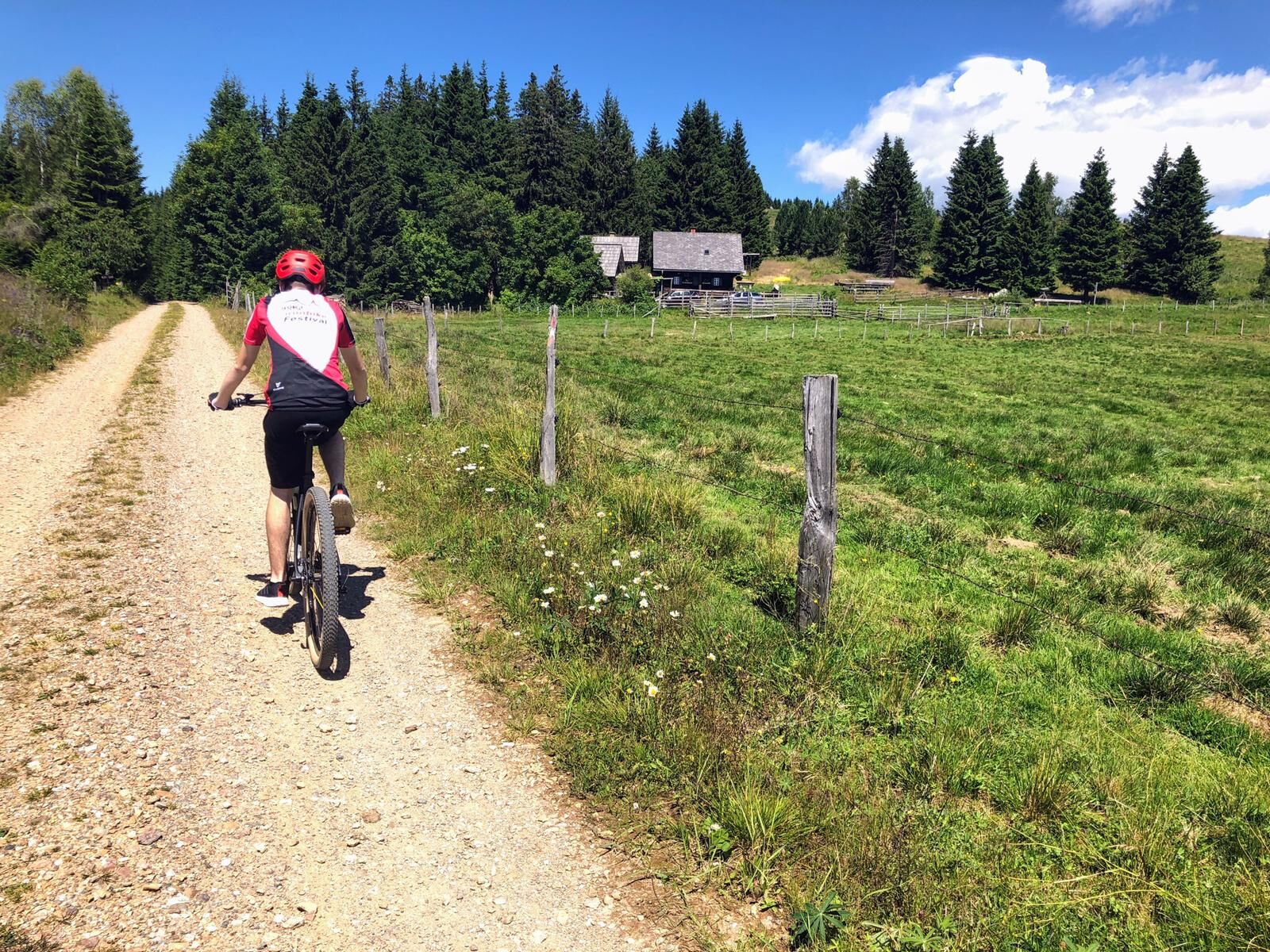
Signposted mountain bike tour No. 121 to the Dreieckalmhütte without asphalt in a scenic alpine region and with lots of trails.
- Difficulty
-
difficult
- Rating
-
- Starting point
-
Lindner Inn (Soboth)
- Route
-
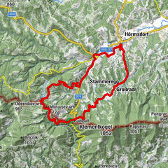
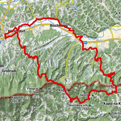
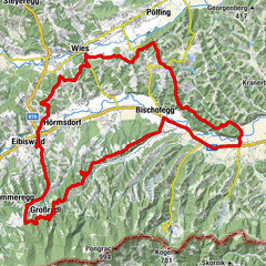
Lindner0.0 kmDreieckhütte6.0 kmLindner11.5 km
- Best season
-
JanFebMarAprMayJunJulAugSepOctNovDec
- Description
-
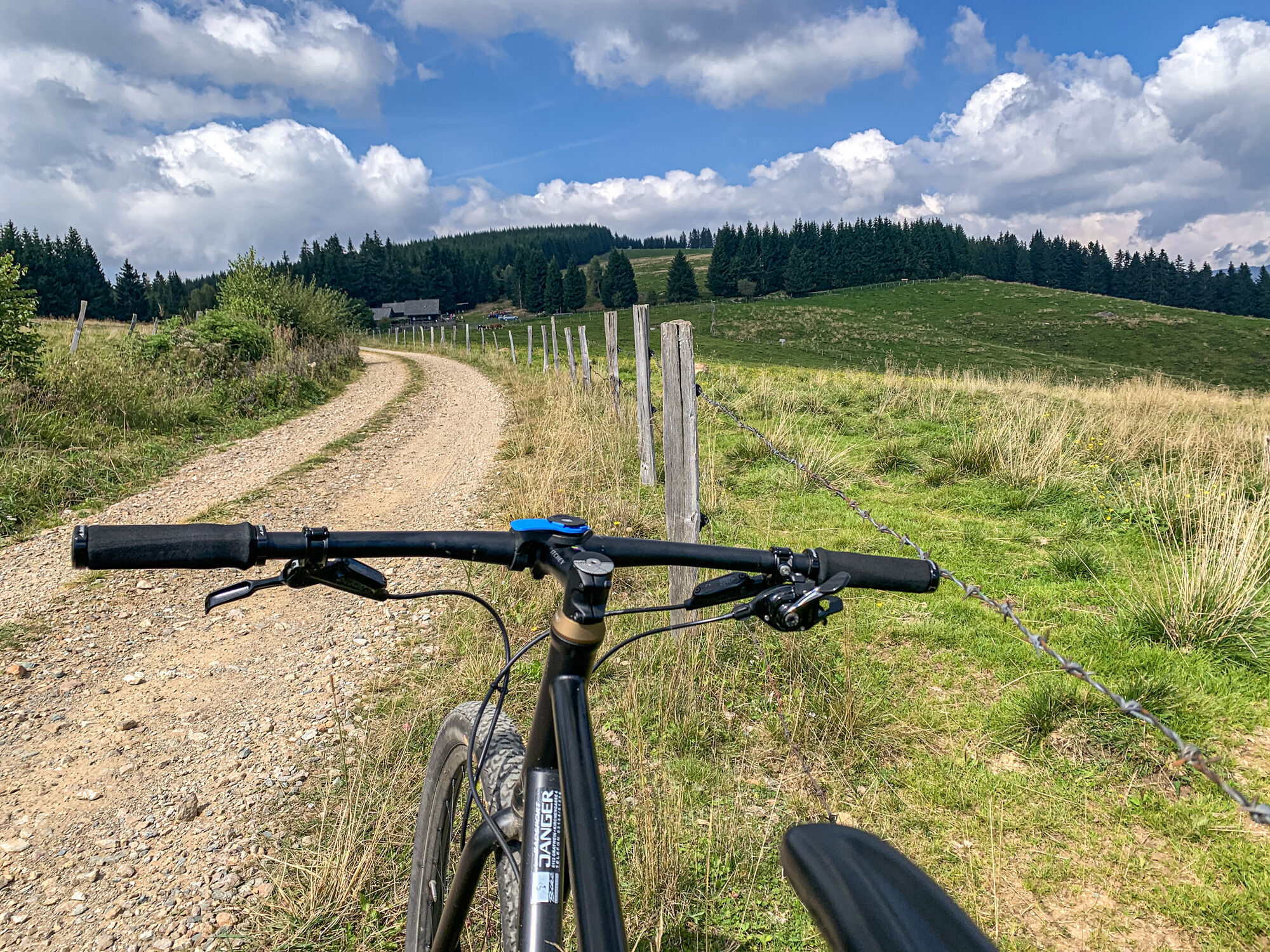
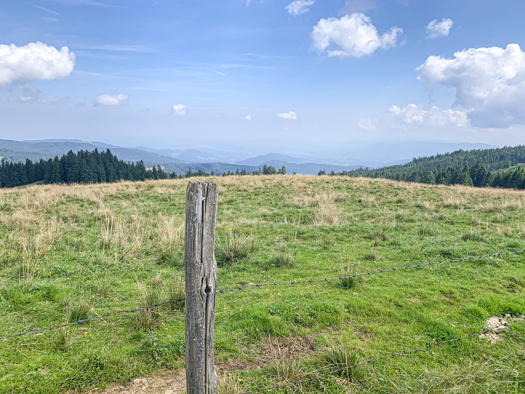
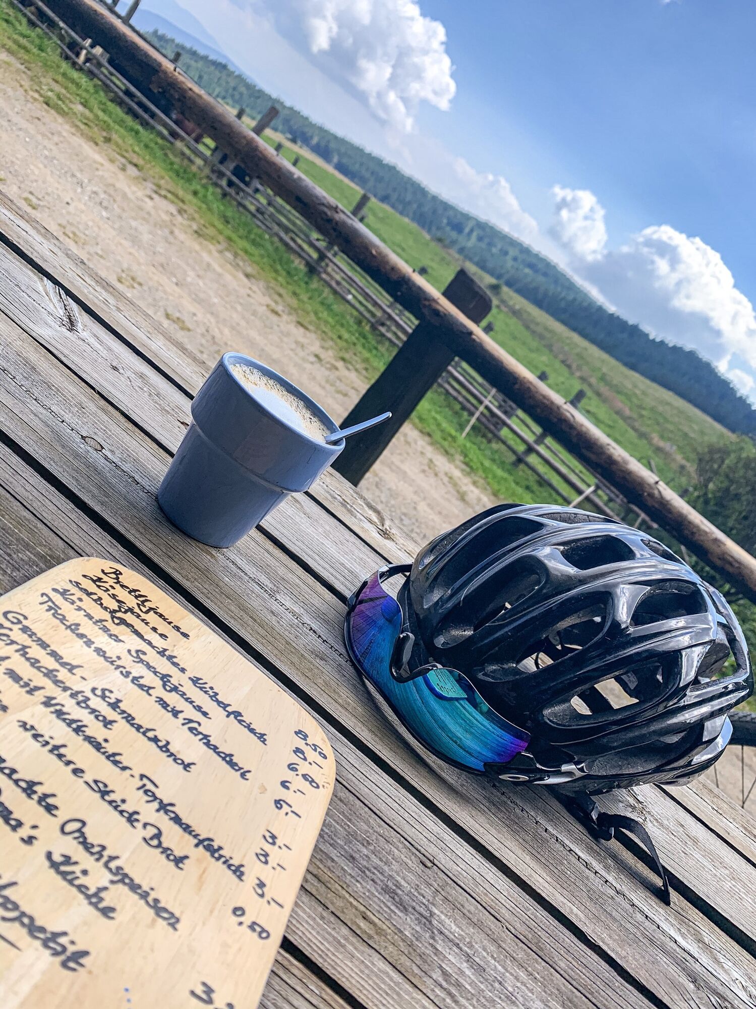
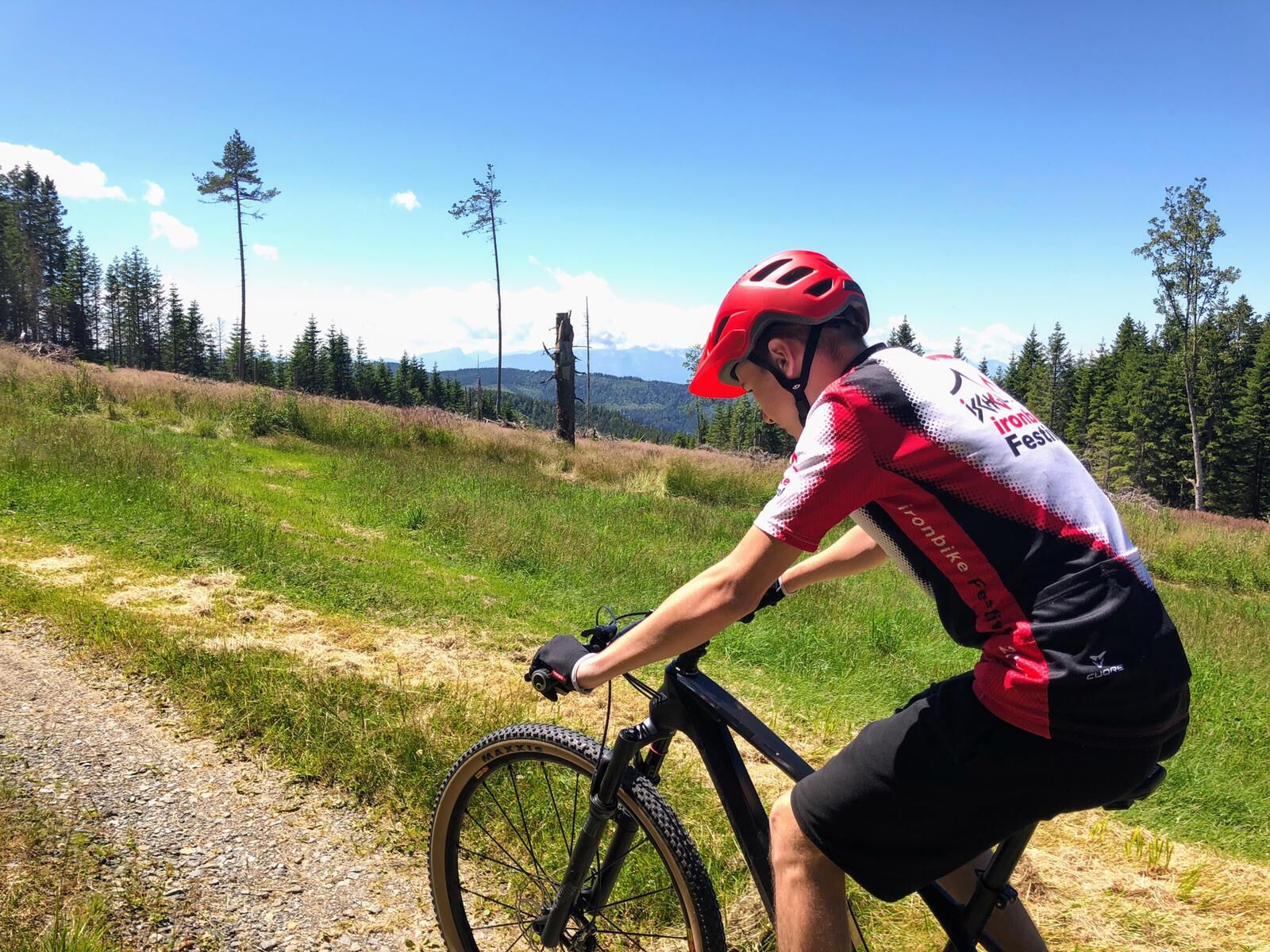
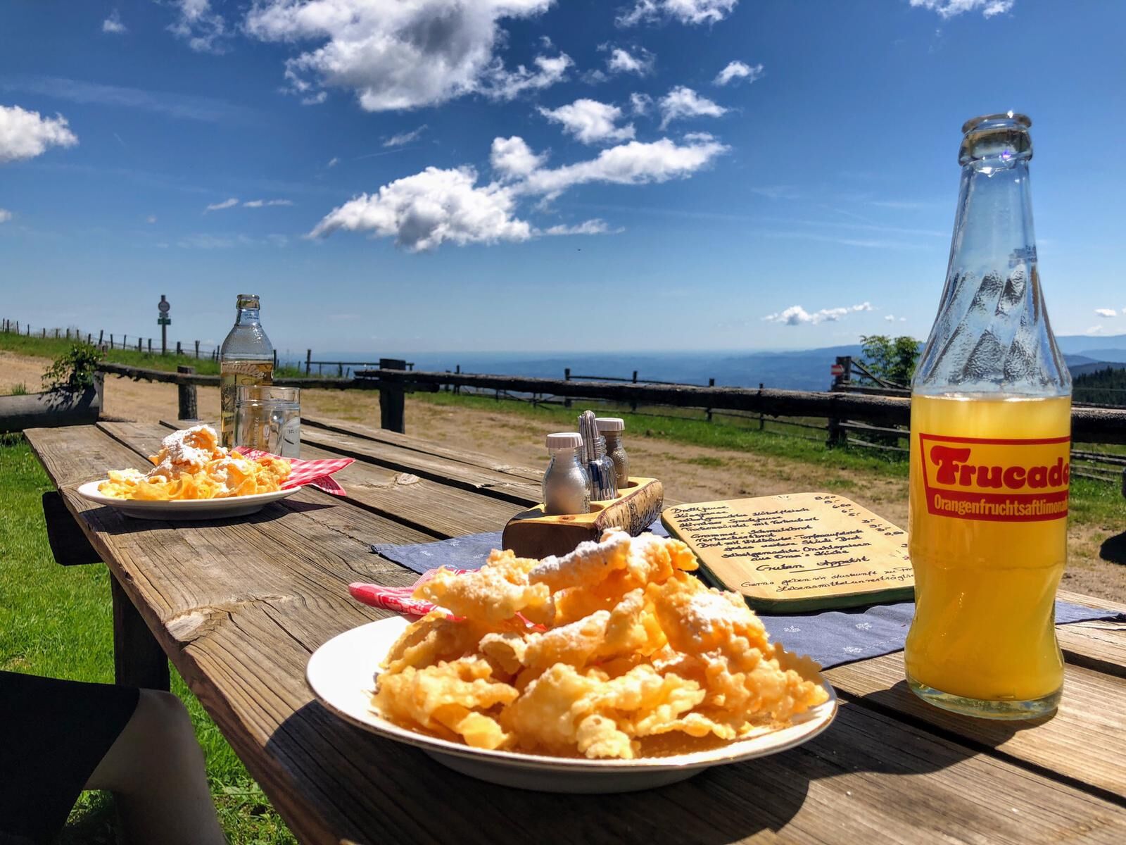
The basic idea of the mountain bike pioneers in the 1970s at Mount Tamalpais in the Marin Valley near San Francisco was relatively simple: to open up new cycling worlds by going where you can't go on a road bike. The mountain bike route to the Dreieckalm is exactly such a tour. It, too, opens up a completely new region for cyclists that was forbidden for a long time. And on this one, too, there is no alternative to an off-road bike from the start at Gasthof Lindner above Soboth. The motto for this tour is derived from the latter: 11 kilometres of pure trail dream. It is therefore the route among the Eibiswald tours for trail enthusiasts and mountain bike purists. And something else must be said: You can look for a long time in the Marin Valley for such a beautifully situated, rustic hut with such a super good drinks and food menu as at the Dreieckalm - but you won't find it.
The "Dreieckalm Tour: 11 kilometre trail dream" is the mountain bike tour of your choice if you want to
are looking for an original mountain bike tour without asphalt. want to cycle in a scenic alpine region where you were previously only allowed to hike. are looking for a variety of easy-going gravel tracks and challenging single trails. are looking for an easy tour with a worthwhile destination in the form of the Dreickalm hut. want to take on a real riding challenge on the trail variant on the way back (CAUTION in wet conditions: the roots on the trail then make for a very wild ride). - There is an easy alternative route for the less experienced. - Directions
-
The start of the tour is directly at Gasthof Lindner. You can drive directly to the inn or park your car in the centre of Soboth or at the Soboth reservoir. The author did the tour from the reservoir, which makes about 21 kilometres with the approach and return.
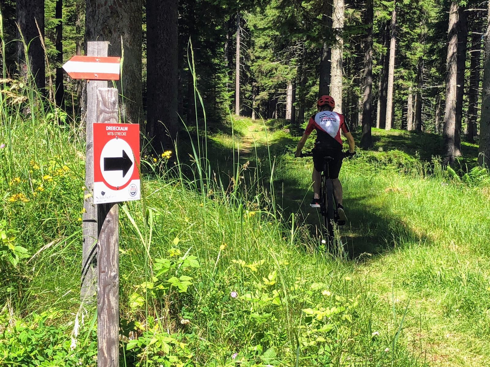
The tour is signposted throughout, making orientation easy. In addition, at numerous junctions, barriers and pictures make it clear where the route runs and where cycling is not permitted.
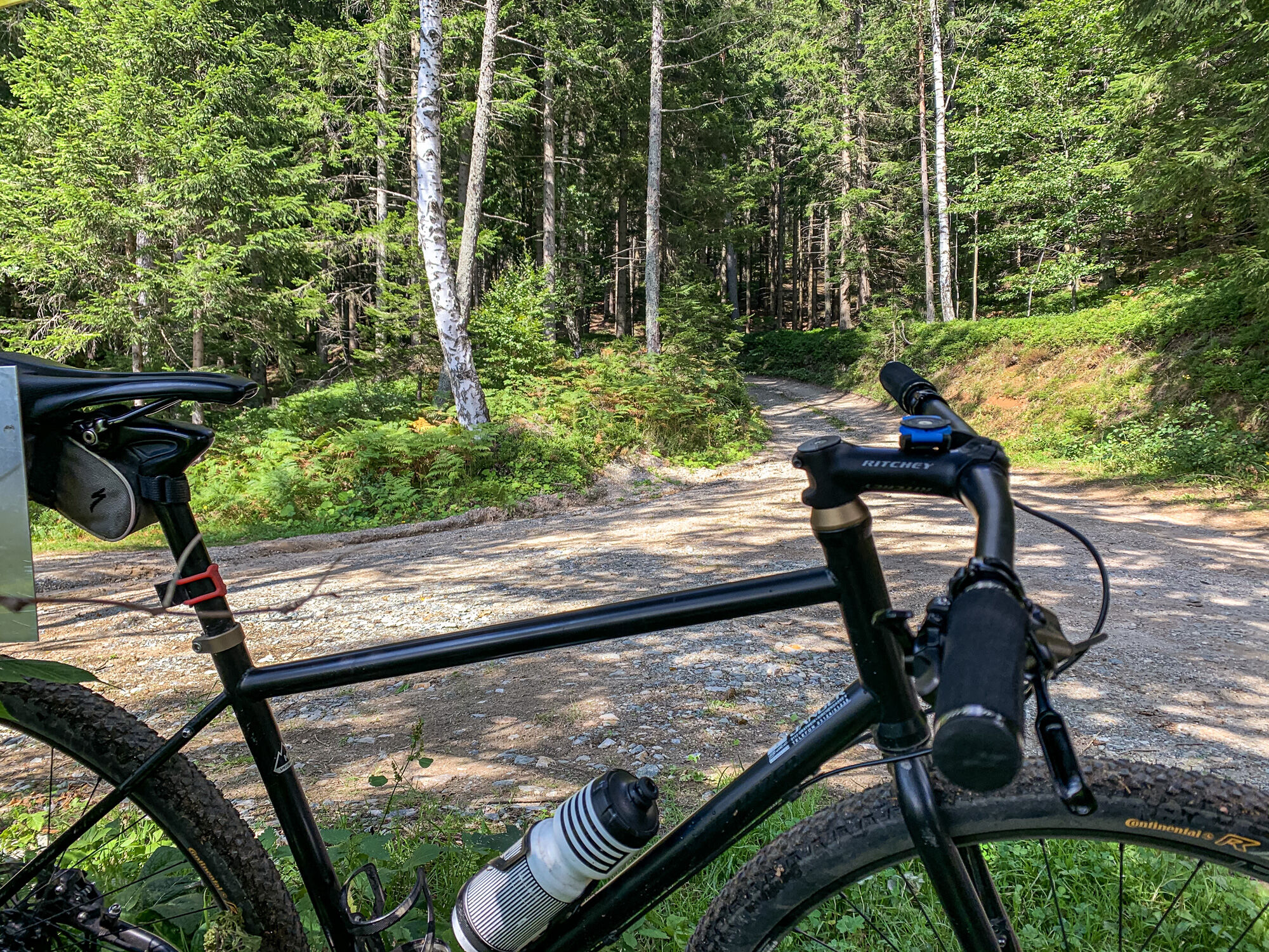
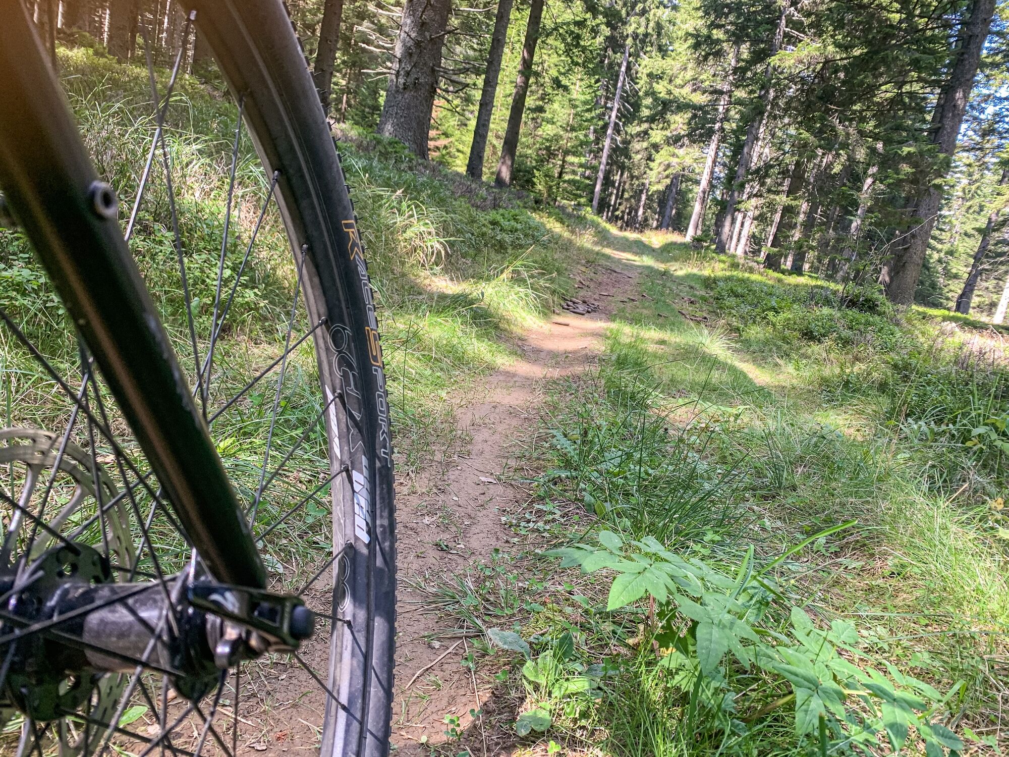
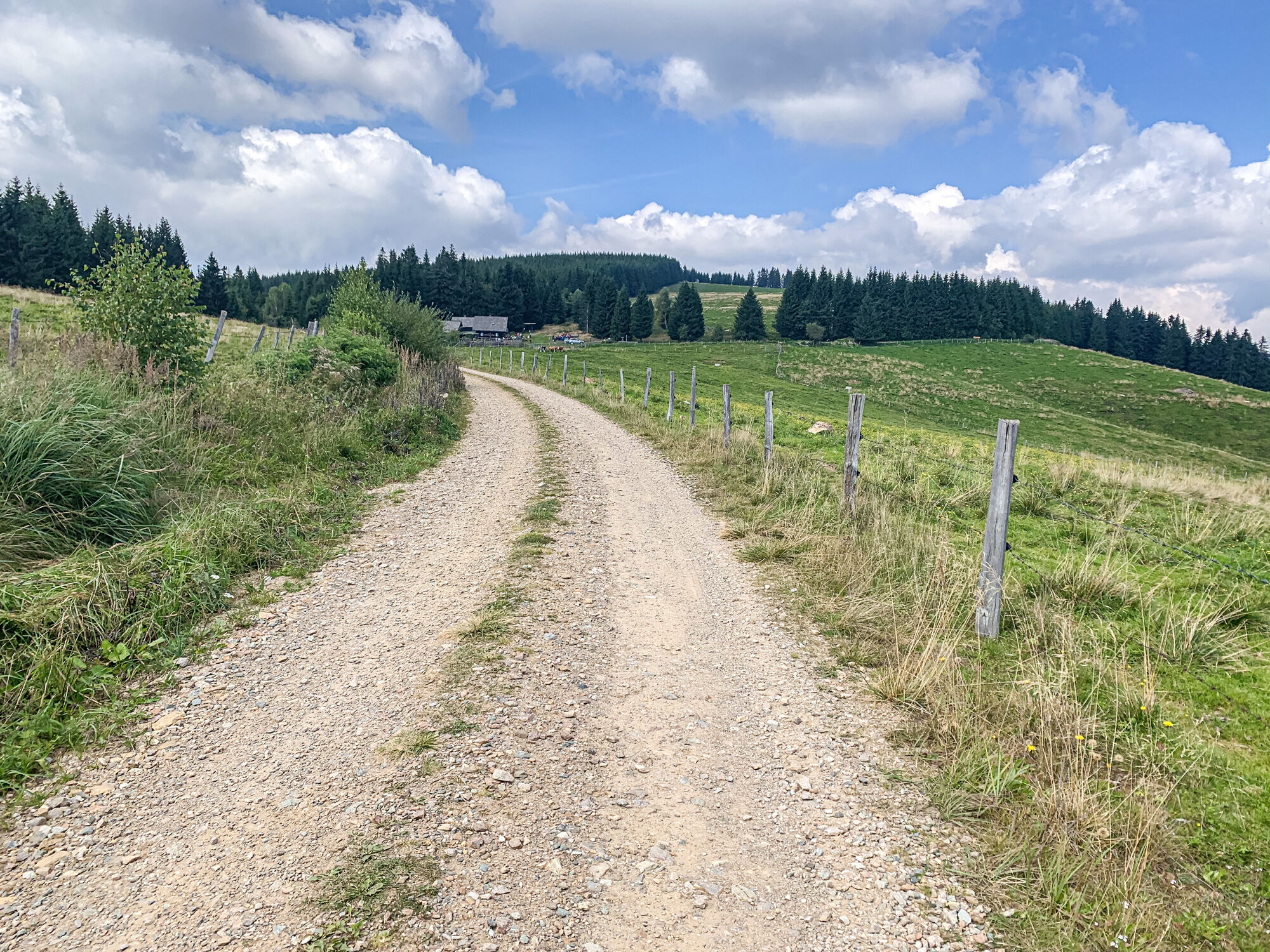
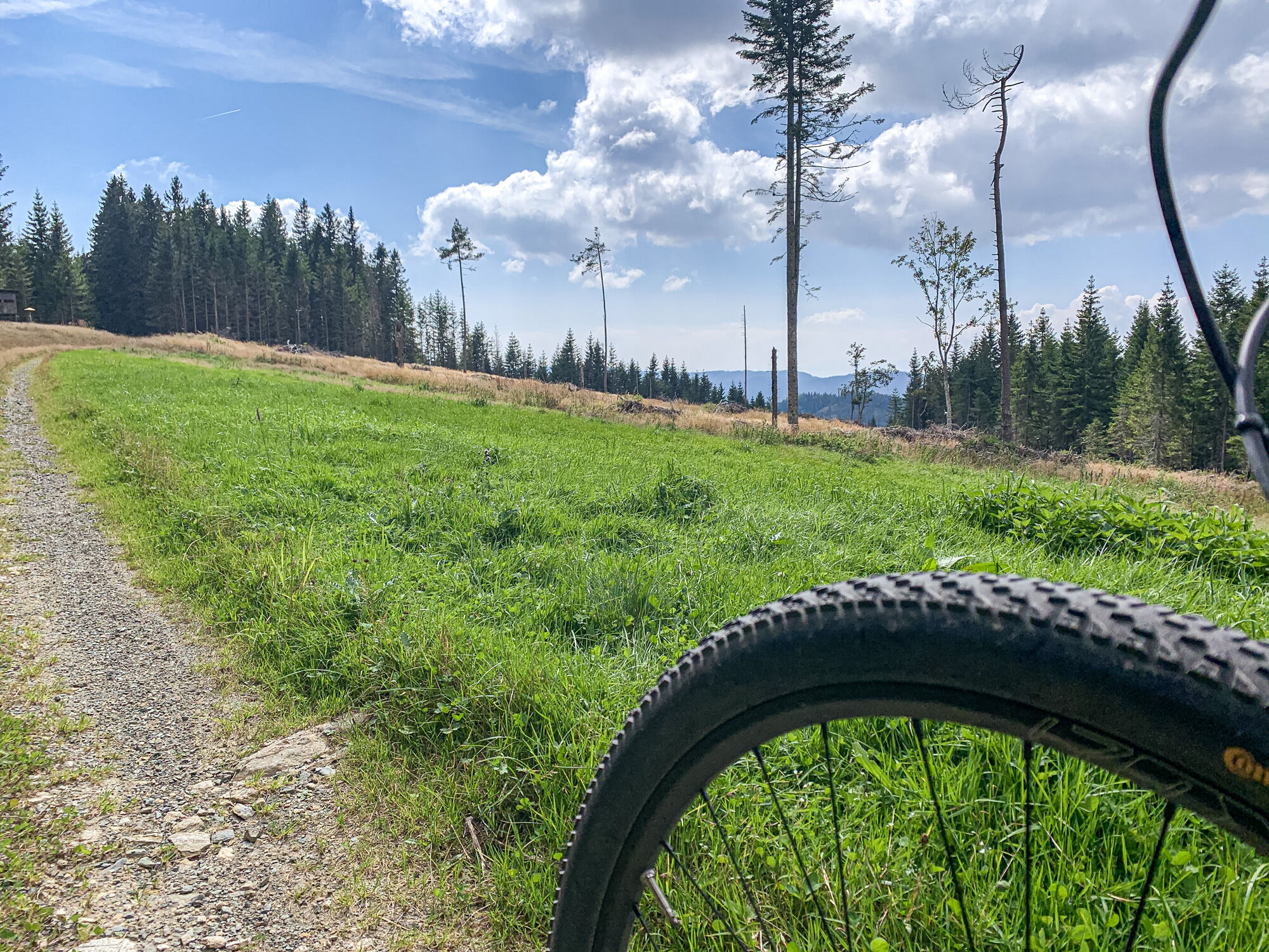
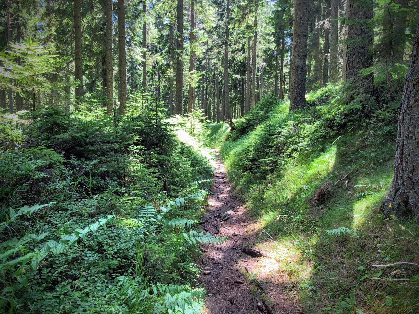
From the start, there are initially some somewhat rough uphill sections over loose rocks and roots, before the tour runs almost continuously on a forest path up to the Dreieckalm.
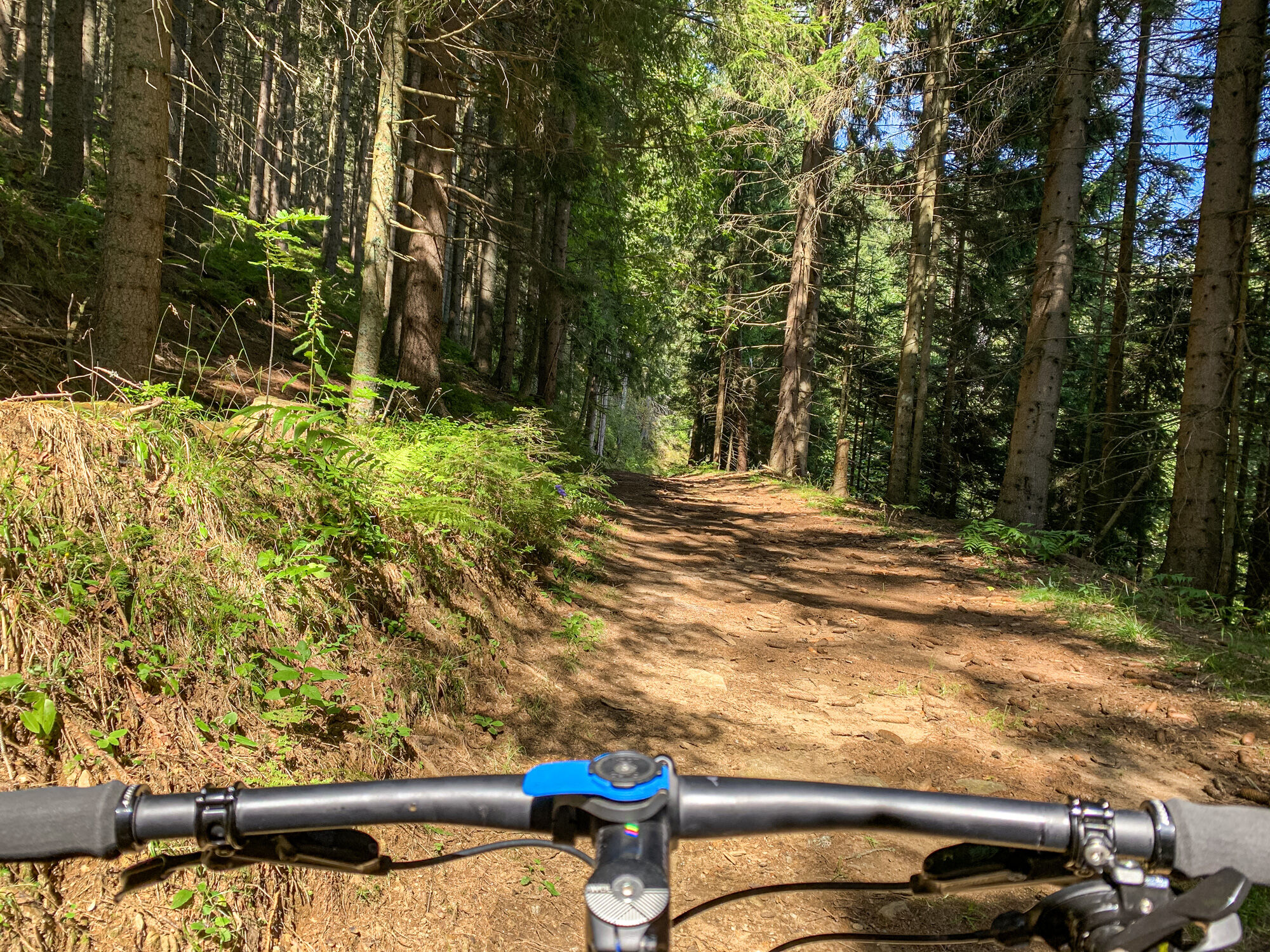
This forest road section is interrupted by a cool and wonderfully flowing single trail.
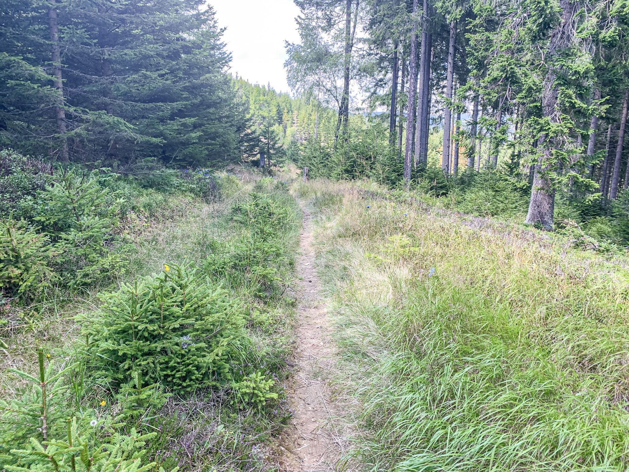
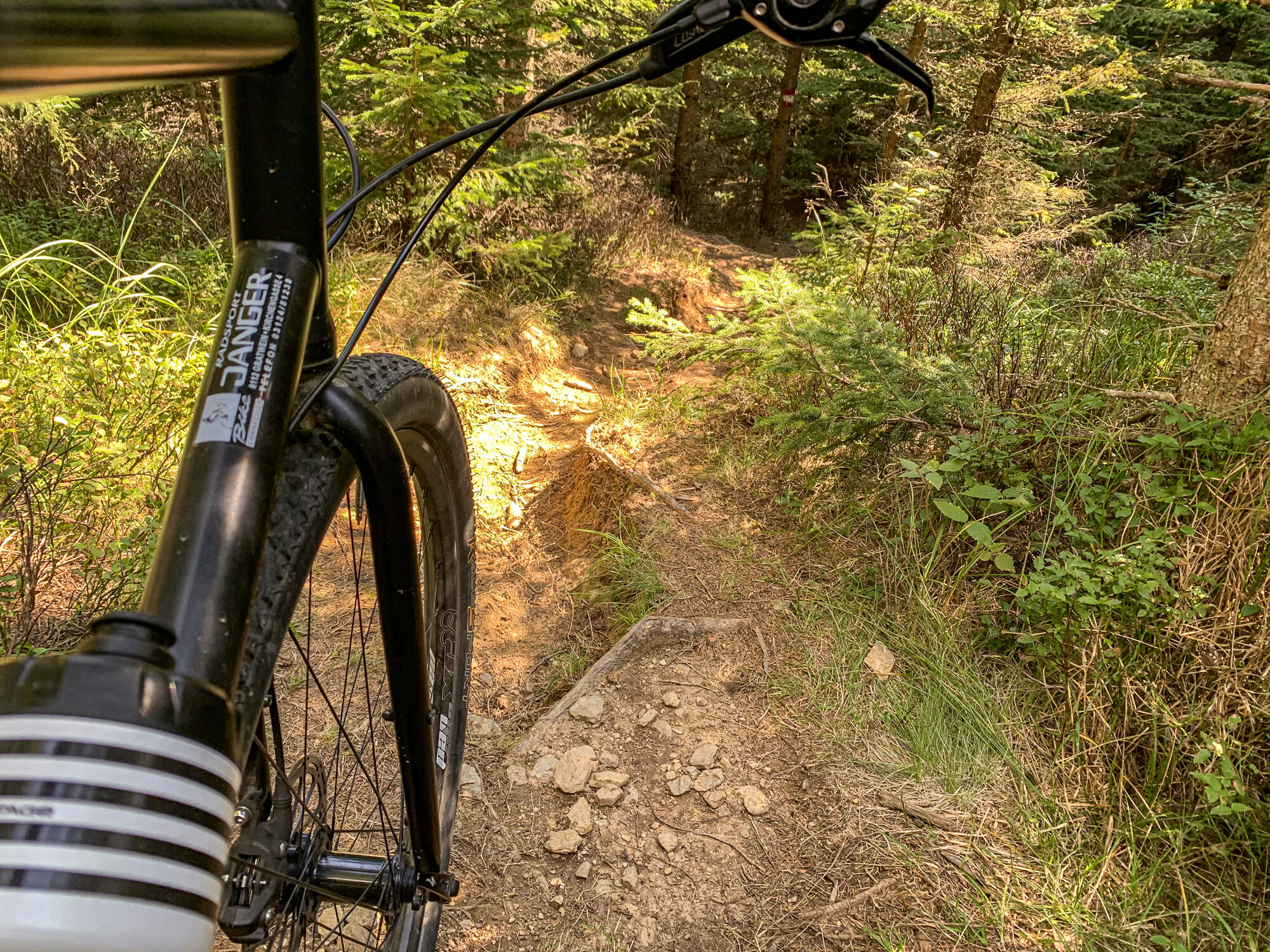
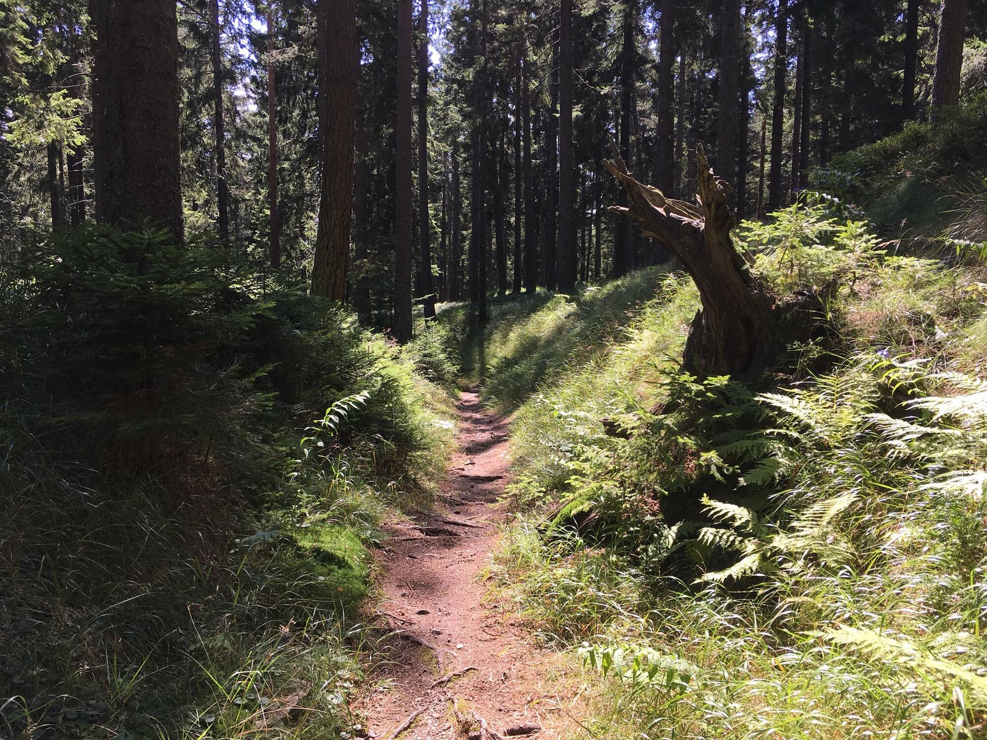
On the descent from the Dreieckhütte back to Gasthof Lindner, there are two opportunities to turn off into a section signposted as a "trail" or to ride downhill in the opposite direction on the forest road climb.
The first trail section is very suitable for beginners who want to get a taste of the single trail world of mountain biking. This section is flowing, conveys a wonderful mountain bike feeling and is technically easy to moderately difficult.
The second trail section runs on a very rooty, stony and in places steep hiking trail that leads directly back to the Lindner. This section requires very good riding technique, self-confidence and ideally a full-suspension bike. The author rode this section completely without suspension and with far too much air pressure on a disguised gravel bike, which resulted in a rather cramped and not very flowing riding experience. Rating: Not recommendable. - Highest point
- 1,451 m
- Endpoint
-
Lindner Inn (Soboth)
- Height profile
-

- Equipment
-
Check your bike after every tour for air pressure, spoke tension and brake pads.
A helmet is a must for every bike tour.
Think in advance about what equipment you need to take with you: warm clothing, rain and wind protection, a repair kit and first aid kit belong in your rucksack, as does a charged mobile phone.
Mountain bike Gravel bike (only alternative downhill) - Safety instructions
-
Always drive at a controlled speed and at half visibility, especially on bends, as obstacles can be expected at any time (e.g. road damage, stones, branches, temporarily stored wood, grazing livestock, grazing grids, barriers, tractor-forestry machines, authorised persons' vehicles). Be considerate of other people, walkers and pedestrians. Only overtake at walking pace! Be aware of the difficulty of the route, accurately assess your experience and ability as a biker! Protect your head with a helmet and check your equipment (brakes, bell, lights) before every bike tour!Keep to barriers and please accept that some paths are primarily used for agricultural and forestry purposes! Be considerate of nature and wildlife, do not leave the marked route, refrain from riding off the open paths and finish your bike tour before dusk. Please do not leave any litter behind.
Attention: No liability! (*)
*) Mountain biking is a risky sport! The landowners, the Eibiswald cycling club, tourism association and municipalities accept no liability!
Some tours (see description) are "pure nature", the forest paths lead over roots, stones, streams, are partly washed out and are not maintained. Pushing and carrying passages are necessary depending on ability. We recommend private accident insurance or membership of the Alpine Club. Have fun!
- Tips
-
Also explore the surrounding area, such as the reservoir and the hiking village Soboth.
- Additional information
-
Map with all mountain bike tours available at the businesses and at the tourist office Schilcherland Eibiswald-Wies or can be ordered at Schilcherland.at!
Tip: the Styria Tours App, available free of charge on Google Play and in the App Store (Android, iOS) offers detailed first-hand information: short facts (length, duration, difficulty, ascent and descent in metres of altitude, ratings), map, route descriptions, altimeter, compass, summit finder, navigation along the tour. In addition, you can create your personal list of favourite tours and points, save tours and excursion destinations offline, play on social media channels and more.
- Directions
-
Plan your journey via Google Maps to the starting point of the tour:
Directions from Graz / Vienna to Lieboch:
Take the motorway towards Graz (A2) to the Lieboch exit. Continue on the B76 towards Eibiswald and then on the B69 towards Soboth.
Directions from Carinthia:
Take the motorway in the direction of Klagenfurt (A2) to the Griffen exit. Continue in the direction of Lavamünd/Soboth
Directions from Leibnitz:
Drive via Arnfels, Oberhaag to Eibiswald and Soboth.
Directions from Slovenia/Eibiswald:
Drive over the Radlpass on the B76 towards Eibiswald, then continue on the B69 towards Soboth/Carinthia.
- Public transportation
-
With ÖBB to Wies, then by bus or guest taxi to Eibiswald and Soboth.
ÖBB www.oebb.at or Verbundlinie Steiermark www.busbahnbim.at
With the BusBahnBim app of the Verbundlinie, timetable information has never been easier: all connections by bus, train and tram in Austria can be queried by entering places and / or addresses, stops or important points. The app is available as a free app for smartphones (Android, iOS) - on Google Play and in the App Store.
- Parking


- Author
-
The tour Dreieckalm - a mountain bike dream tour is used by outdooractive.com provided.