
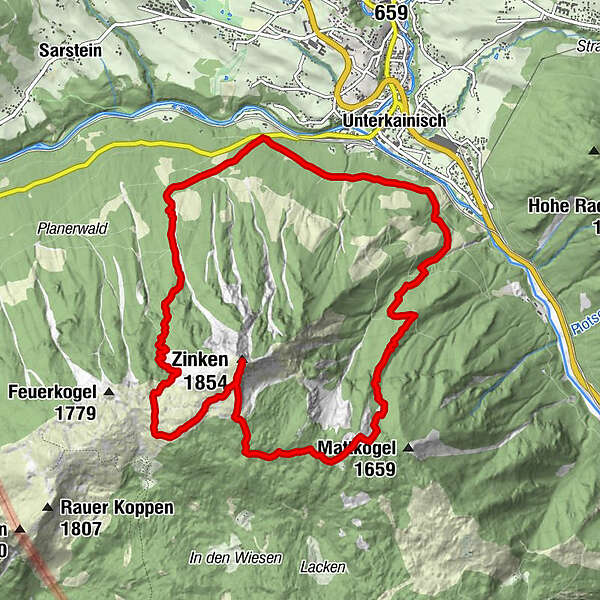
Tour data
12.88km
677
- 1,851m
1,244hm
1,243hm
07:00h
- Brief description
-
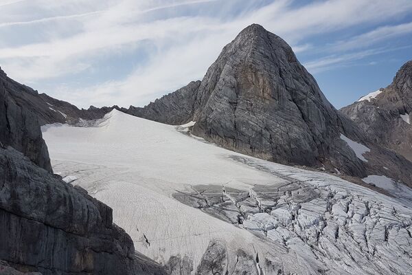
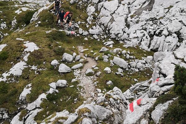
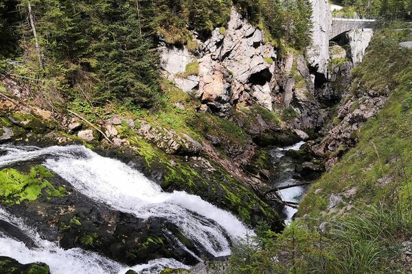
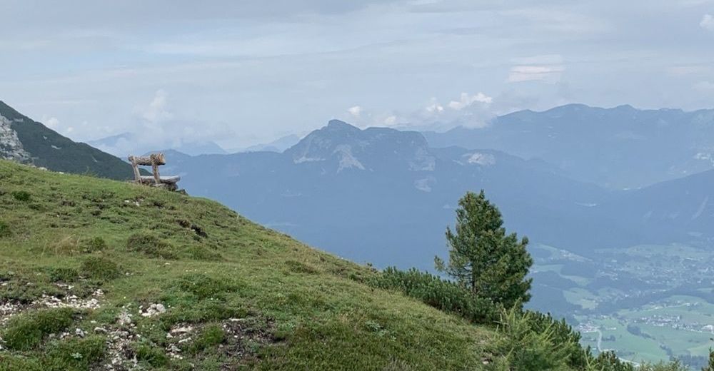
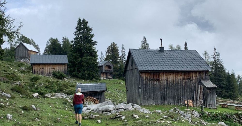
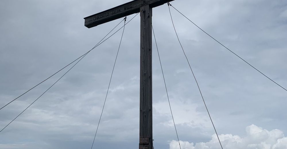
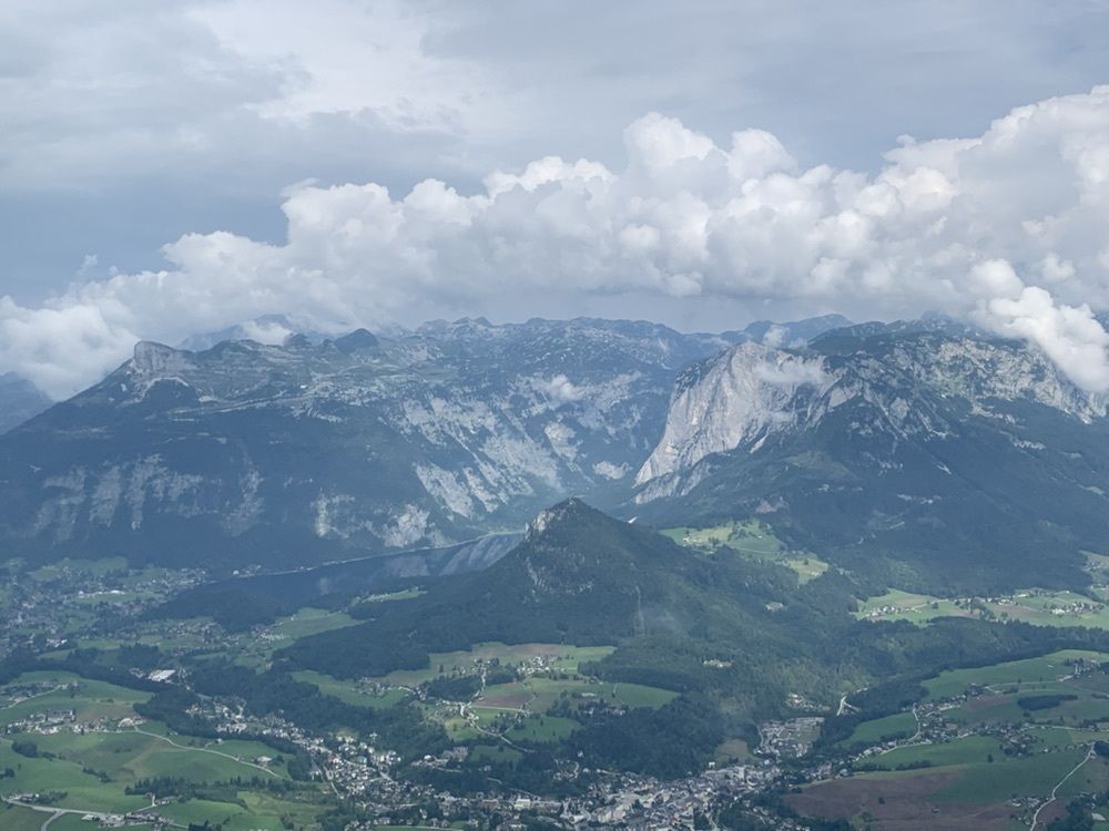
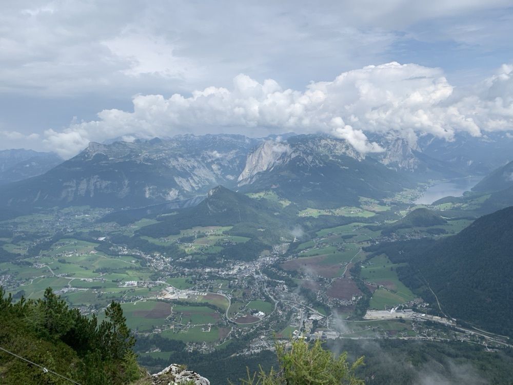
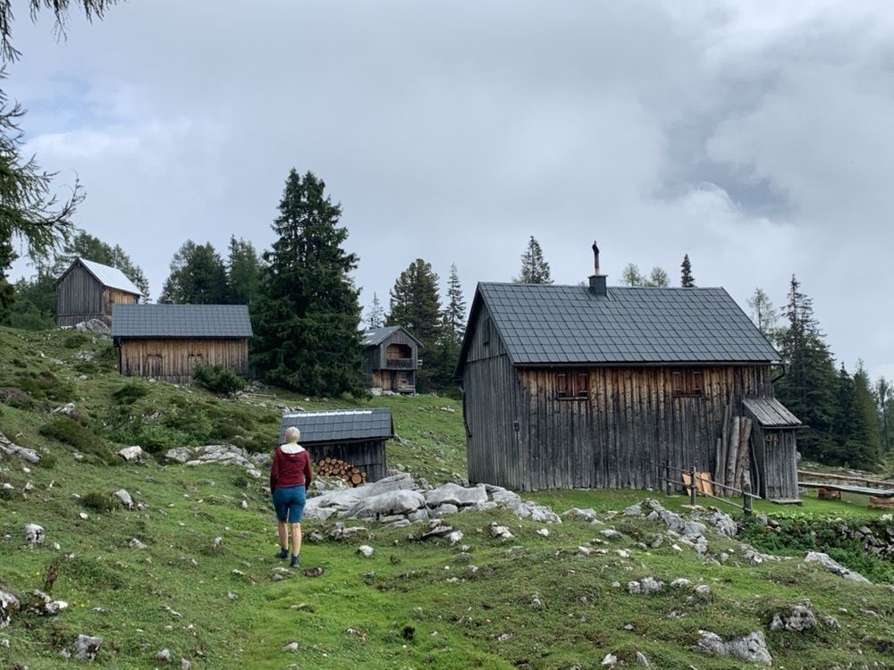
Steiler Auf- und Abstieg zum Zinken. Trittsicherheit und gute Kondition erforderlich! Start hinterm Bahnhof Bad Aussee. Ganztages-Selbstversorger-Tour. (Keine Einkehrmöglichkeit)
- Difficulty
-
difficult
- Rating
-
- Route
-
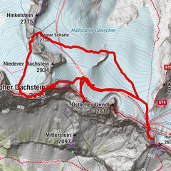
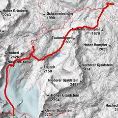
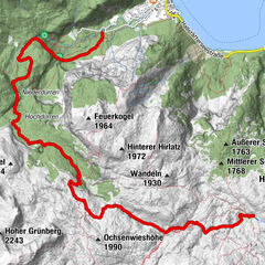
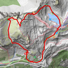
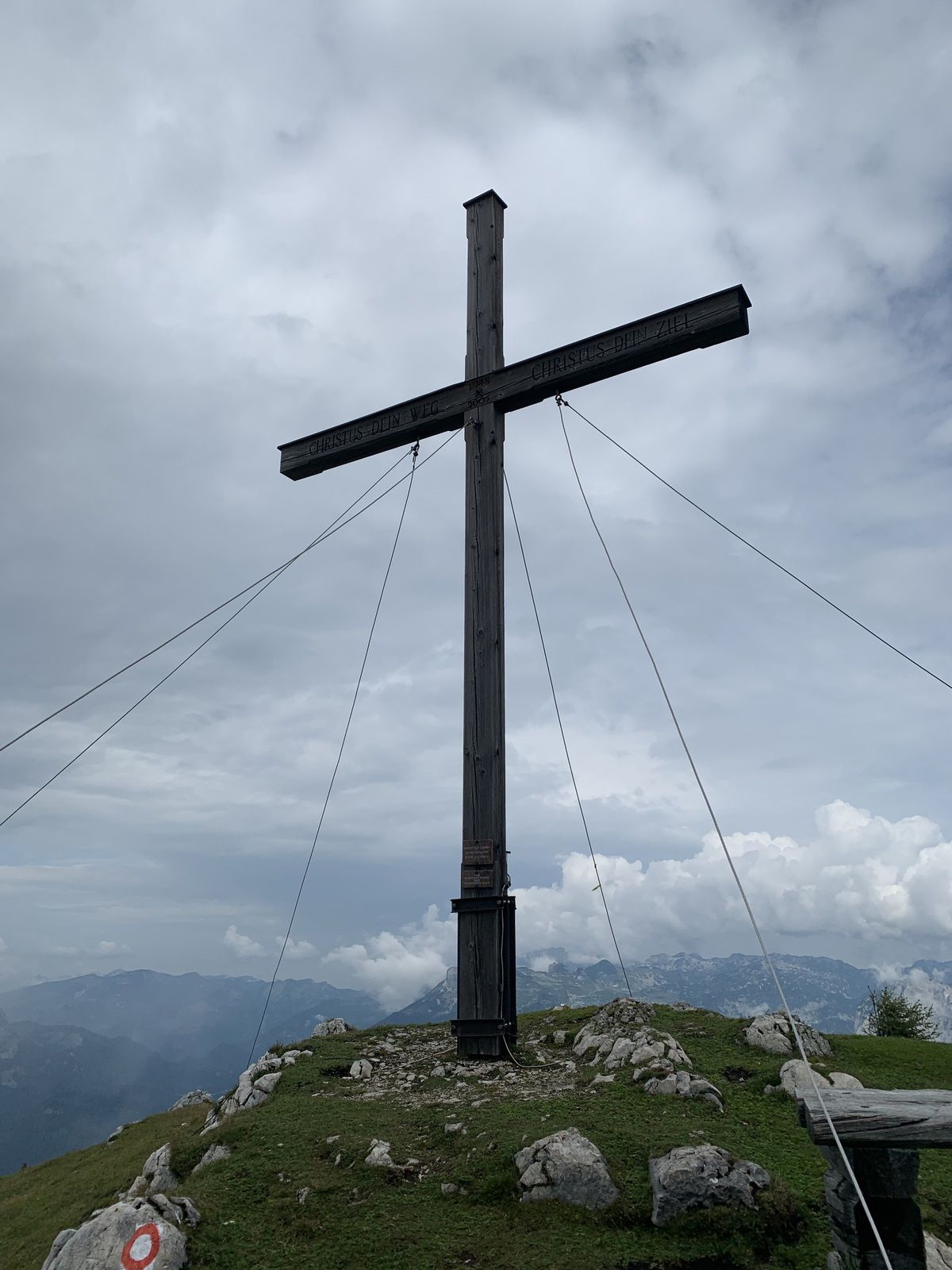
Zinken (1,854 m)5.5 kmHandleralm7.4 kmUnterkainisch11.8 km
- Best season
-
JanFebMarAprMayJunJulAugSepOctNovDec
- Highest point
- 1,851 m


GPS Downloads


Other tours in the regions