Stage 09 From Glacier to Wine South Route Krakau - St. Peter am Kammersberg


- Brief description
-
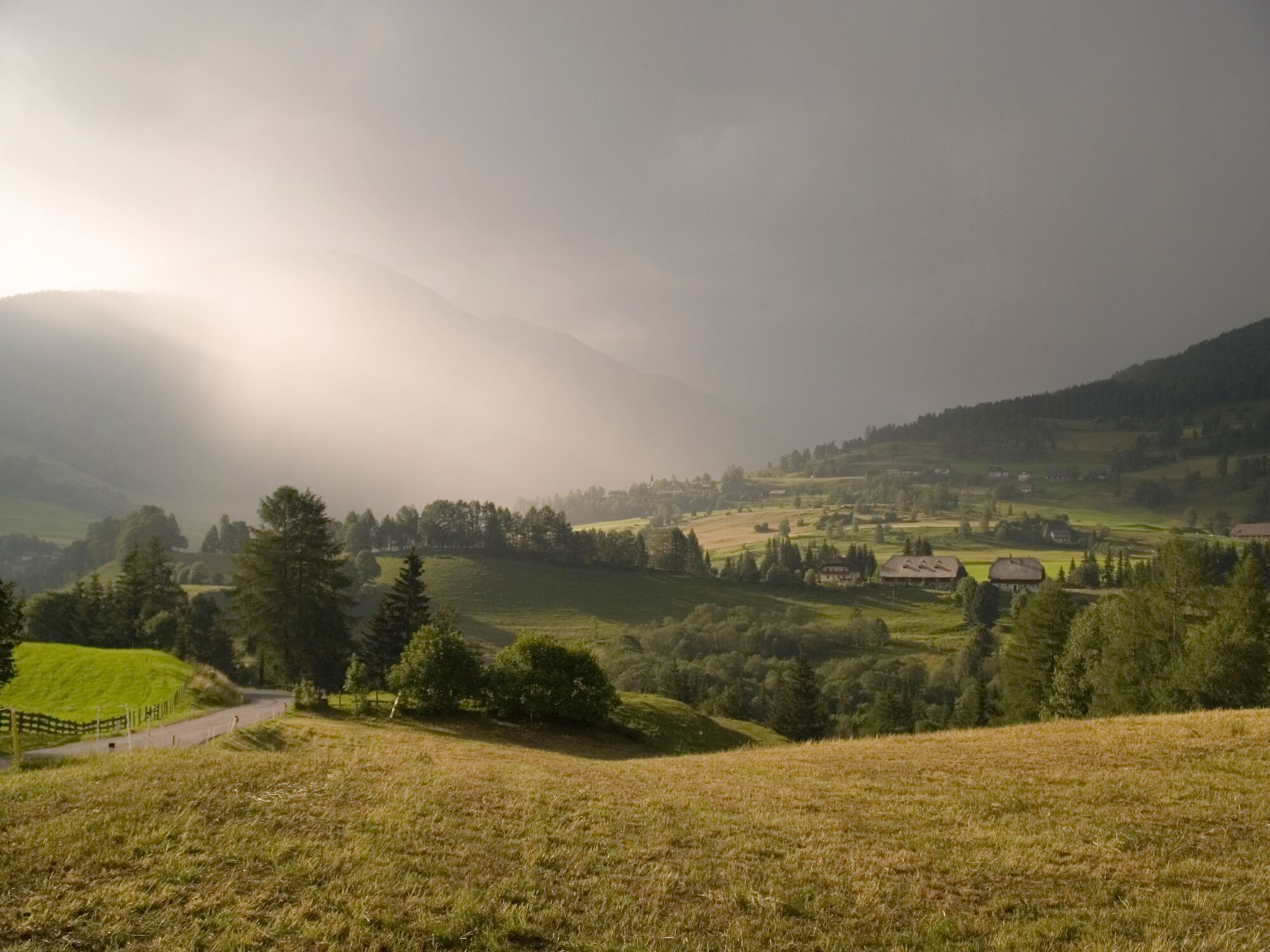
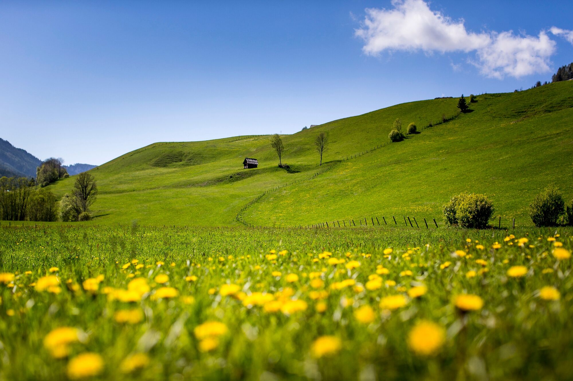
This stage of the hiking route "From Glacier to Wine" is dominated by leisurely family and themed hiking trails in the high valley of the Krakow and it is mostly downhill. Nevertheless, we experience several charming sections, such as the bathing lake at Krakaudorf, the Günster waterfall, which is one of the highest waterfalls in Styria, or the village of Schöder and the other villages up to St. Peter am Kammersberg, which we can see from the path leading along the southern slope of the mountain.
- Difficulty
-
medium
- Rating
-
- Starting point
-
Krakau
- Route
-
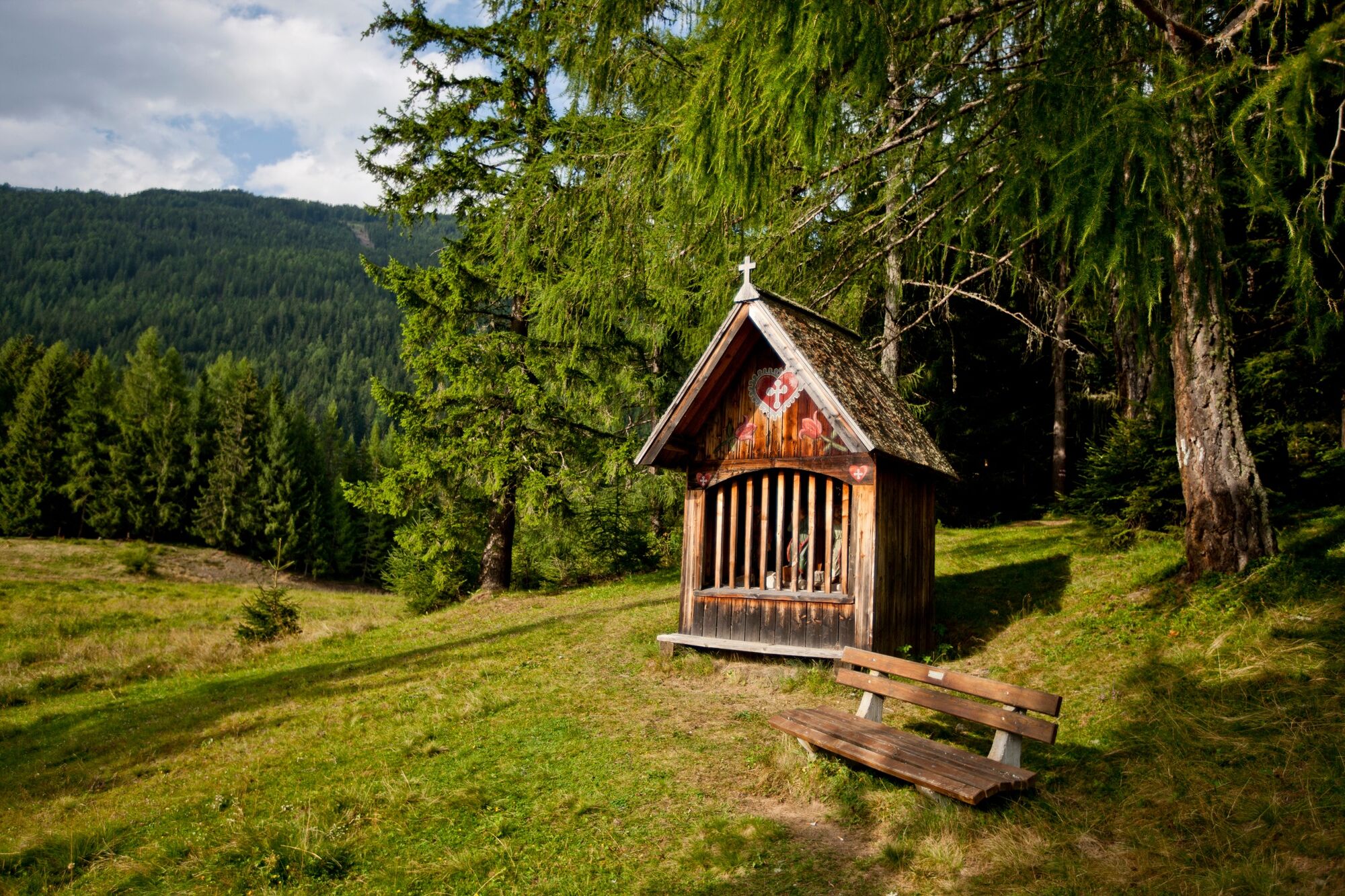
Pfarrkirche hl. Ulrich0.1 kmRestaurant Stigenwirth0.1 kmKrakauebene0.6 kmWegkapelle1.0 kmHintermühlen1.8 kmScharnigl4.7 kmKrakaudorf5.0 kmBuffet am Badeteich Krakaudorf5.2 kmSchöderberg10.4 kmHirschenwirt12.9 kmSchöder13.0 kmSankt Peter am Kammersberg19.1 km
- Best season
-
JanFebMarAprMayJunJulAugSepOctNovDec
- Description
-
Krakautal, as one of 20 mountaineering villages in Austria, has an altitude between 1,100 meters in the east and 1,400 meters in the west. Several large trough valleys flow in from the north, originating on the main ridge of the Niedere Tauern. The surrounding mountain ridges rise with their main peaks to over 2,700 meters into the sky. Climatically favored, because of low precipitation and extremely sunny, the Krakau Valley is truly still an insider tip for all hikers and mountaineers. With the Günster waterfall, one of the highest waterfalls in Styria, a special place is on the program. It plunges over the primary rocks of the Schladminger Tauern with a drop height of 65 meters down to the Künstenbach. 250 to 300 liters per second rush down over two basins carved out by the water and three imposing cascades, which have also been accessible via paths and stairs since 1906.
- Directions
-
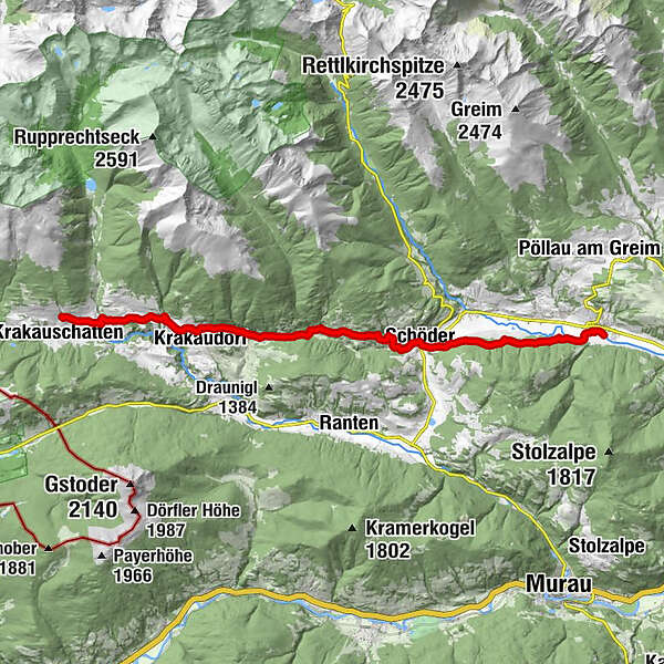
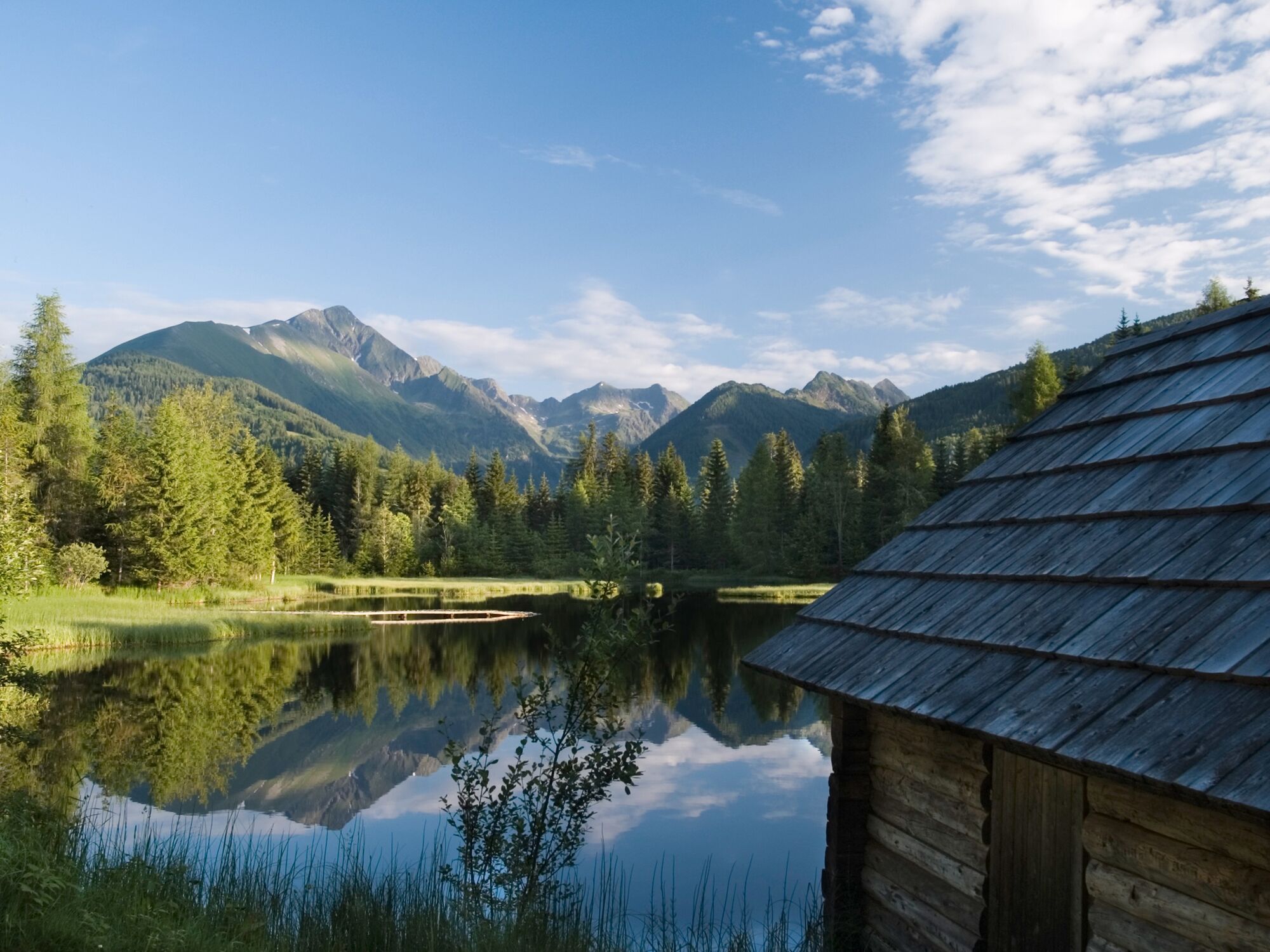
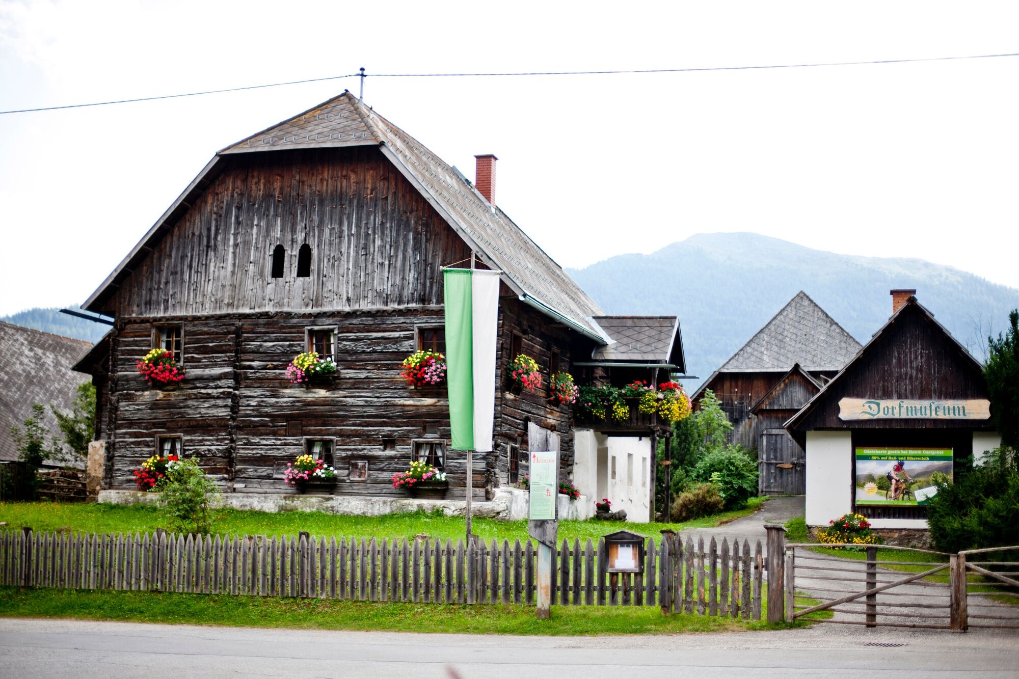
From Krakauhintermühlen with the beautifully situated hiking hotel Stigenwirth we walk the first few meters on the road until we come to a turnoff towards Lifthäusel. There we leave the road and keep to the right slightly downhill to follow the signs "Footpath to Krakaudorf". Later we come back to the road, pass through the hamlet of Scharnigl, and arrive at the idyllically situated bathing lake, which we hike along. Soon we change into a beautiful and especially in summer very welcome, because shade giving forest, through which the path leads us to a road.
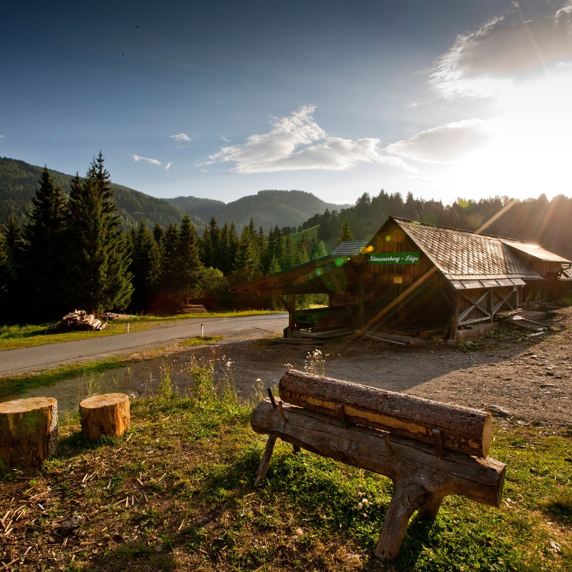
Here we keep to the left at a fork to get directly to the Günster waterfall. If you already know the waterfall or want to get to the day's destination as soon as possible, you can continue straight ahead on the road to Schöder. However, a detour to the waterfall is worthwhile, but here a difficult decision awaits us: what to do first? Refresh ourselves with a cool drink in the inn "Zum Wasserfall" or start with the tour of the cool and well-built gorge? Once both are done, we follow the "Wasserfall-Rundweg" over a narrow footbridge from the inn to the east and come to the road up the Schöderberg. We leave this road already in the first left turn to follow the signs "Wanderweg nach Schöder". On this section of the trail we can admire the mighty Baierdorf fortified tower from the 11th century from a distance. The further way on this stage of the hiking route "From glacier to wine" leads us through a farm to reach a hill, where we keep to the right to follow local trail no. 7 down to the road and finally to Schöder. In Schöder, the Church of Our Lady invites you to visit.
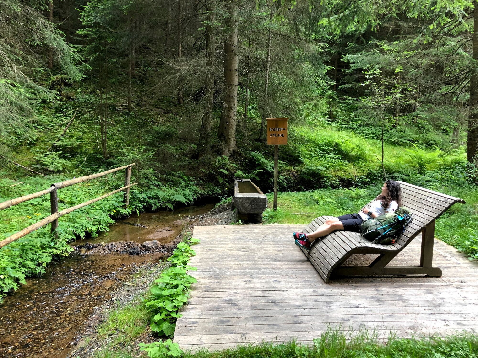
We leave the village of Schöder to the right of the Schöderbach stream in order to follow the local trails with the numbers 1 and 2, which take us along a beautiful forest path always straight ahead towards the east. Only when the path no longer continues straight ahead, we descend to the left and walk for some time very romantically along the banks of the stream, enjoying the murmur of the stream. Soon we reach the height of the village of St. Peter am Kammersberg, where we first still have to cross the Katschbach to get to the slightly higher village, from which the next stage is to Murau.
- Highest point
- 1,299 m
- Endpoint
-
St. Peter am Kammersberg
- Height profile
-

- Equipment
-
Proper backpack packing makes many things easier: Pack heavy things first. The water bottle should always be within reach in a side pocket. All the things that are often needed, such as sunglasses, camera or hiking map, belong on top. An emergency kit, including blister plasters, belongs in every rucksack and it is always advisable to dress in layers.
- Safety instructions
-
Emergency call mountain rescue: 140
Tips when reporting an emergency – Answer these six WH questions: What happened? How many people are injured? Where did the accident happen (are there GPS coordinates)? Who is reporting the incident (callback number)? When did the accident happen? What is the weather like at the site of the incident?
- Additional information
-
Steiermark Tourismus
Tel. +43 316 4003
If you would like to hire a tour operator, simply book with Steiermark Touristik, the official travel agency of Steiermark Tourismus:
Tel. +43 316 4003 450,
The Steiermark Touren app, available free of charge on Google Play and the App Store (Android, iOS), offers detailed first-hand information: brief facts (length, duration, difficulty, ascent and descent/elevation gain, ratings), map, route descriptions, altimeter, compass, peak finder, navigation along the tour. You can also create your own personal lists of favourite tours and sites, store tours and destinations offline, use social media channels, and much more.
- Public transportation
-
Accessible by train and bus.
Detailed information about arriving by ÖBB (Austrian Federal Railways) can be found at www.oebb.at or on the Verbundlinie Steiermark website www.busbahnbim.at
With Verbundlinie’s BusBahnBim route planner app, planning your journey has never been easier: simply enter towns and/or addresses, stop names or points of interest to check all bus, train and tram connections in Austria. The app is available free of charge for smartphones – on Google Play and in the App Store
- Parking
-
In Krakow, district Krakauhintermühlen, there are enough parking spaces available in the area of the tourist office.
-

-
AuthorThe tour Stage 09 From Glacier to Wine South Route Krakau - St. Peter am Kammersberg is used by outdooractive.com provided.


General info
-
TourismusRegion Murau
1743
-
Naturpark Sölktäler
927
-
Ranten
157