

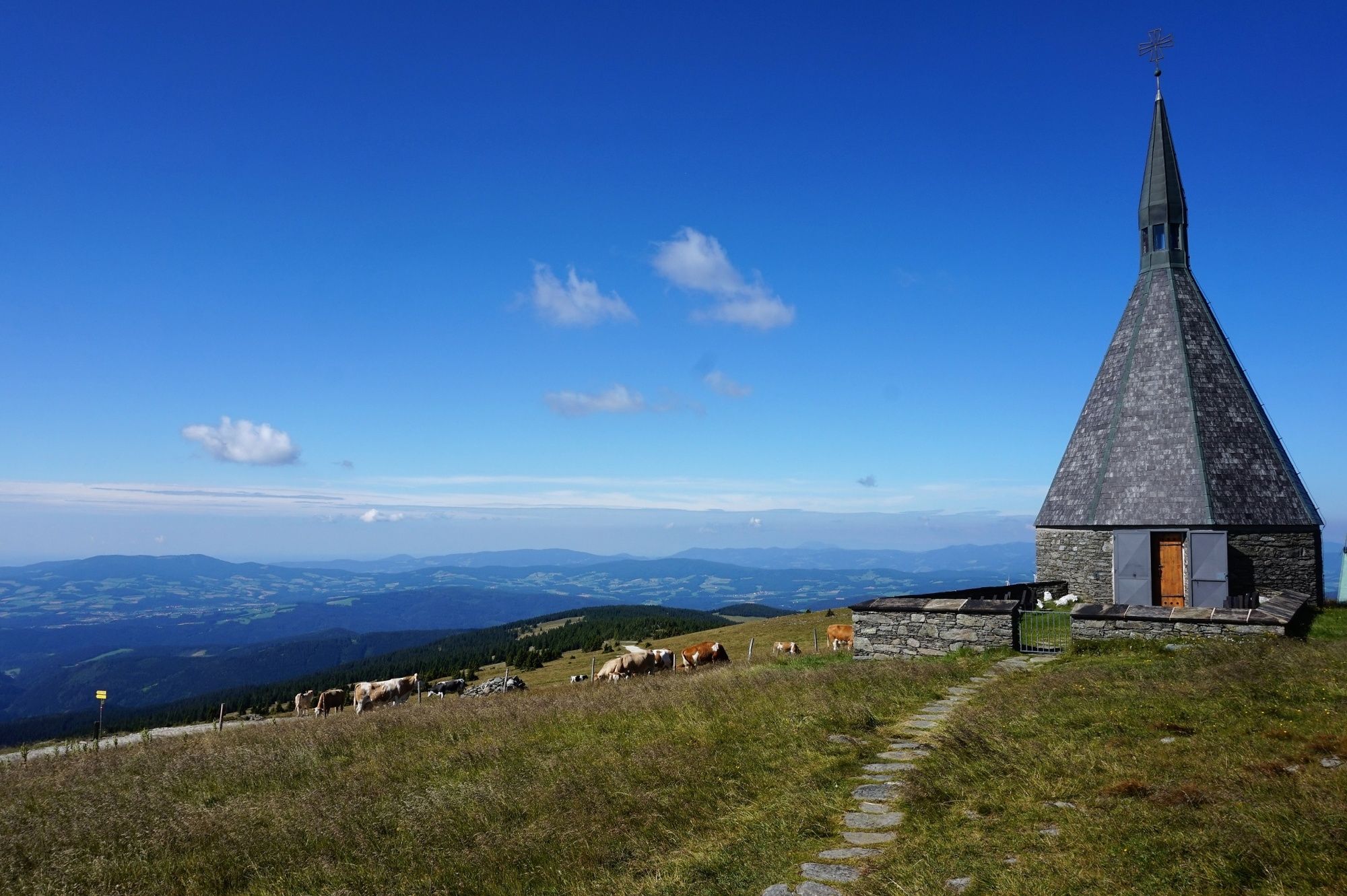
© Tourismusverband Südburgenland - Hans-Peter Neun
- Brief description
-
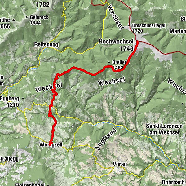
Diese wunderschöne, anspruchsvolle Tour führt von Wenigzell über St. Jakob im Walde auf den Hochwechsel.
- Difficulty
-
difficult
- Rating
-
- Route
-
WenigzellGH Lueger5.9 kmSt. Jakob im Walde6.1 kmPfarrkirche Hl. Jakobus der Ältere6.2 kmKaltenegg7.4 kmBühlhofer Höhe11.1 kmBlasenkogel (1,313 m)12.5 kmBärengrube13.1 kmRabl-Kreuz-Hütte17.6 kmKaltwiesen Hütte19.5 kmHochwechsel (1,743 m)23.5 kmWetterkoglerhaus23.5 km
- Best season
-
JanFebMarAprMayJunJulAugSepOctNovDec
- Highest point
- 1,737 m
- Endpoint
-
Hochwechsel
- Height profile
-

- Author
-
The tour alpannonia - Regionale Route Wenigzell is used by outdooractive.com provided.
GPS Downloads


General info
Refreshment stop
Flora
A lot of view
Other tours in the regions
-
Hochsteiermark
4082
-
Joglland - Waldheimat
1513
-
St. Jakob im Walde
340


