Goldtoni - Alpenbogen A015 Breitlahnhütte-Gollinghütte

long-distance walking trail

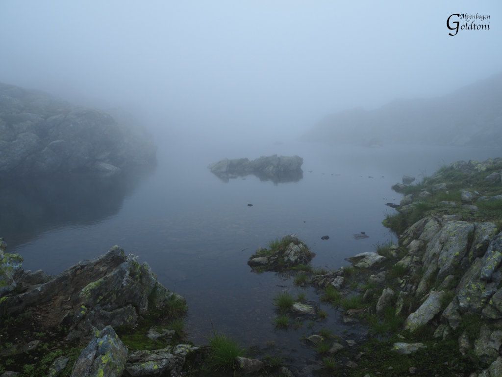
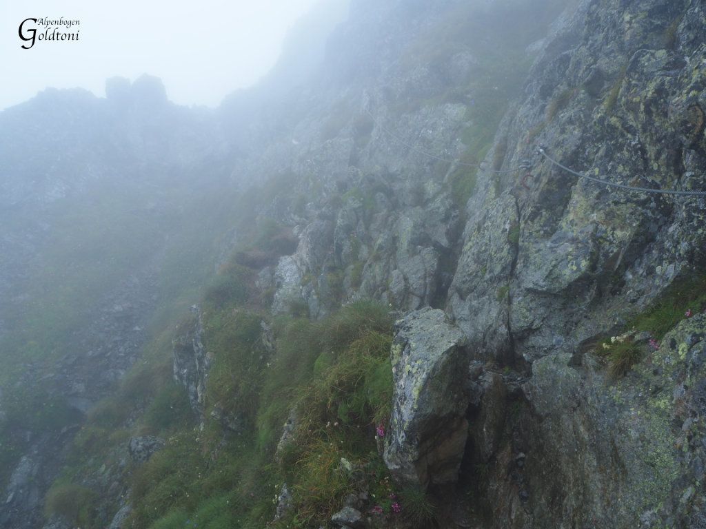
© Toni Sommer

© Toni Sommer

© Toni Sommer

© Toni Sommer

© Toni Sommer

© Toni Sommer

© Toni Sommer
Tour data
21.28km
1,075
- 2,607m
2,355hm
1,825hm
10:43h

- Brief description
-
Breitlahnhütte(1070)-Zauneralm-Karlkirchen-Trattenscharte(2408)-Wildlochscharte(2488)-Preintalerhütte(1657)-Äußeres Lammerkar(1778)-Klafferscharte(2280)-Klafferkessel(2311)-Klaffersee-Klafferschneide(2520)-Greifenberg(2618)-Gollinghütte(1641)
- Difficulty
-
difficult
- Rating
-
- Route
-
Lassachalm2.0 kmKarlkirchen5.2 kmTrattenscharte (2,408 m)8.0 kmWildlochscharte (2,488 m)8.5 kmWaldhornalm11.8 kmPreintalerhütte (1,657 m)11.8 kmÄußeres Lämmerkar12.8 kmReislingscharte (2,313 m)15.9 kmKlafferkessel16.5 kmGreifenberg (2,618 m)17.5 kmGollinghütte (1,642 m)21.2 km
- Best season
-
JanFebMarAprMayJunJulAugSepOctNovDec
- Highest point
- Greifenberg (2,607 m)
- Rest/Retreat
-
Breitlahnhütte (Überaus nette und freundliche Wirtin - Danke); Preintalerhütte; Gollinghütte (zu der Zeit waren die Lagerplätze ausgebucht die Nacht war eng wie in einer Sardinen Büchse)


- Source
- Toni Sommer
GPS Downloads


Trail conditions
Asphalt
Gravel
(20%)
Meadow
(50%)
Forest
(15%)
Rock
(15%)
Exposed
(15%)
Other tours in the regions
-
Schladming - Dachstein
3000
-
Haus - Aich
1364
-
Haus im Ennstal
367