Tour data
38.49km
618
- 1,250m
1,170hm
1,170hm
05:00h
- Brief description
-
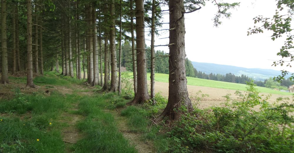
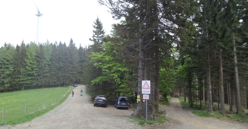
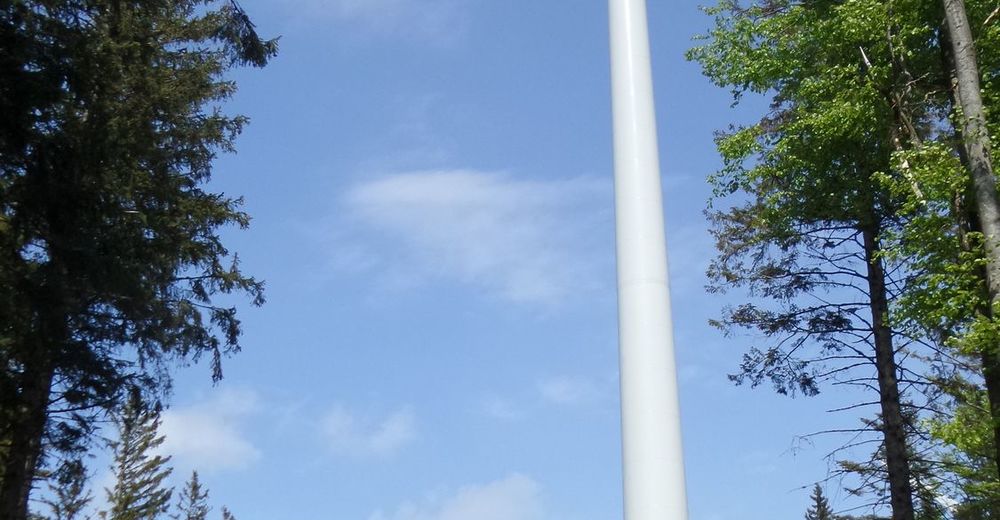
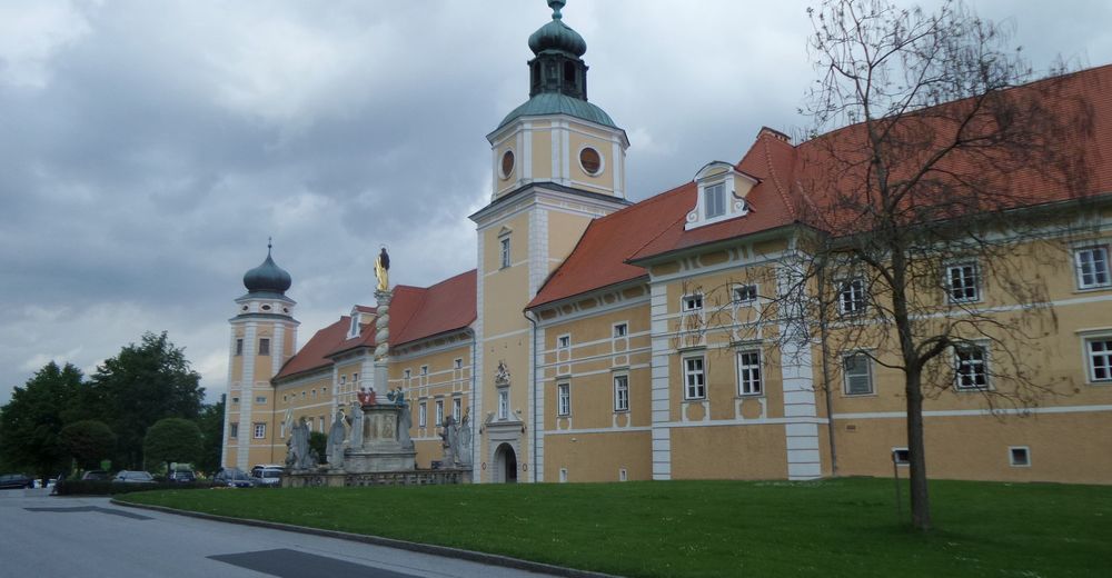
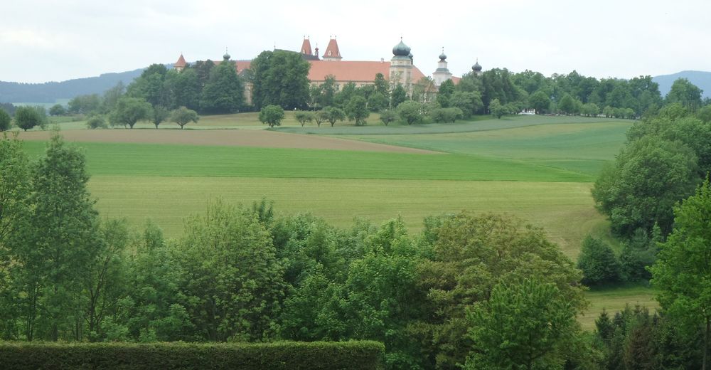
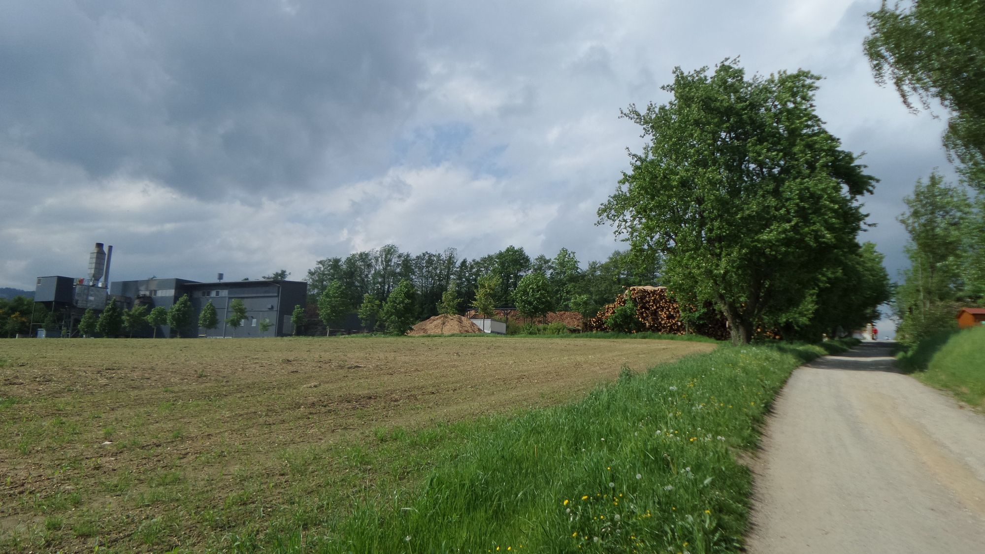
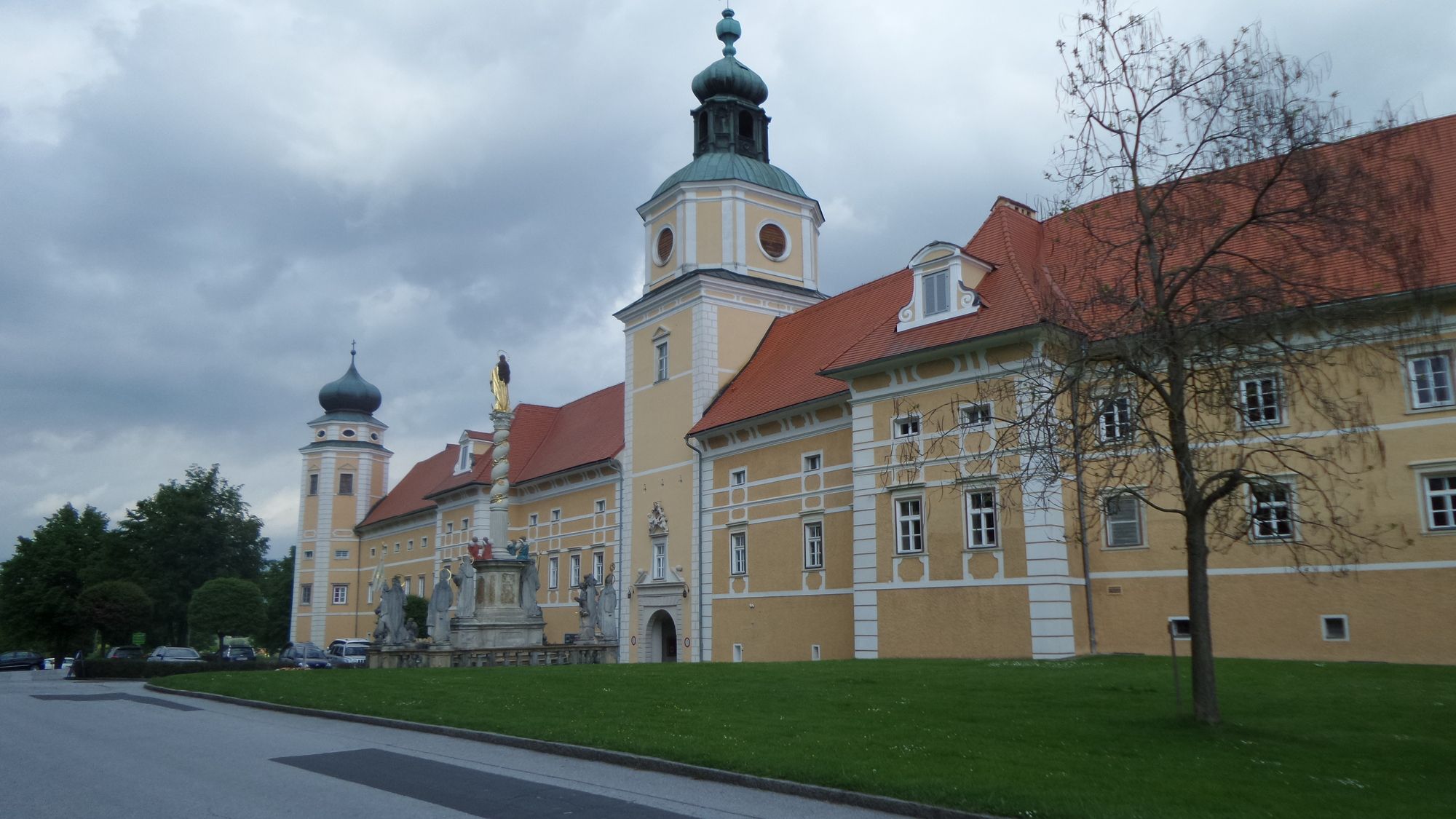
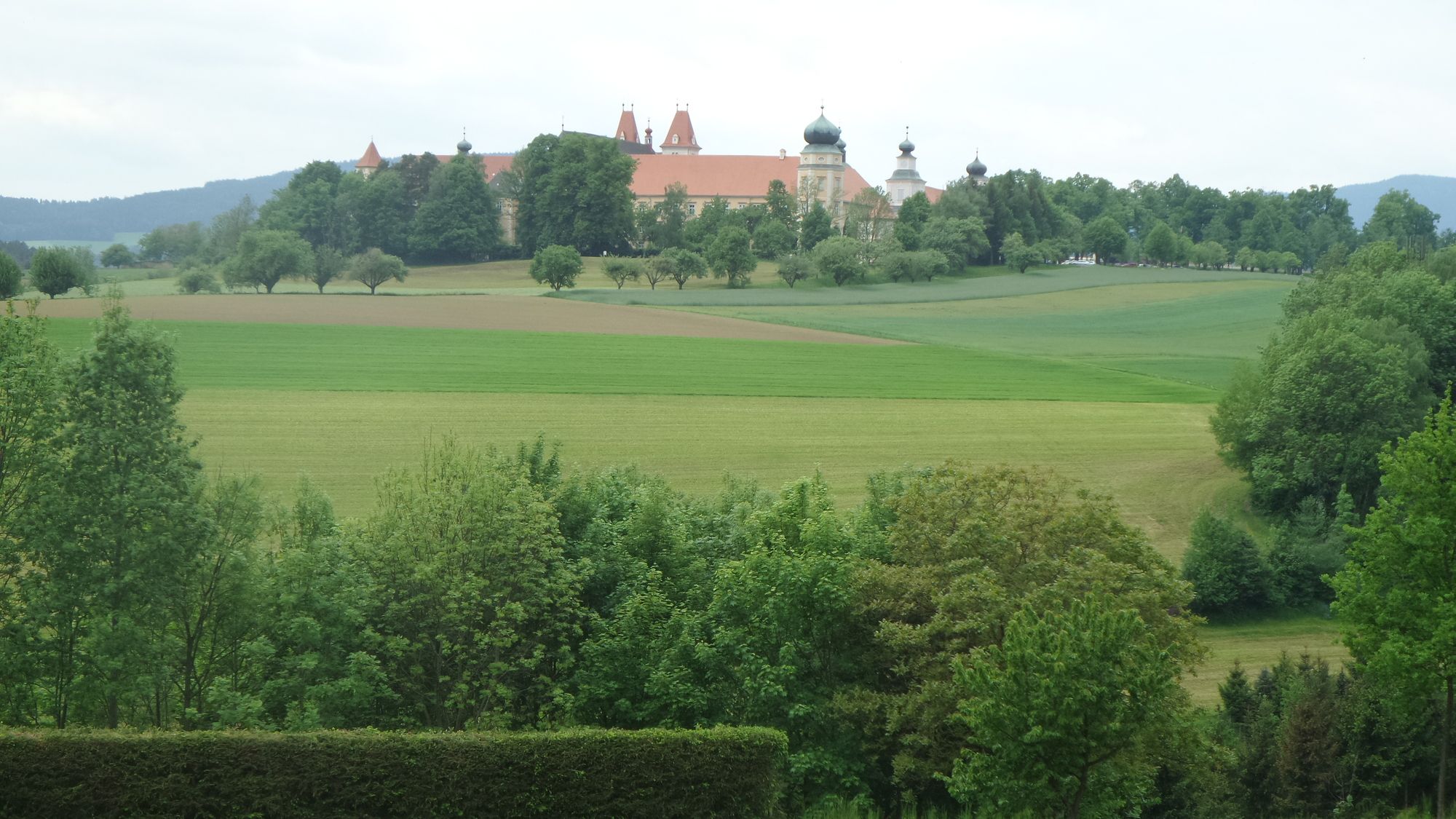
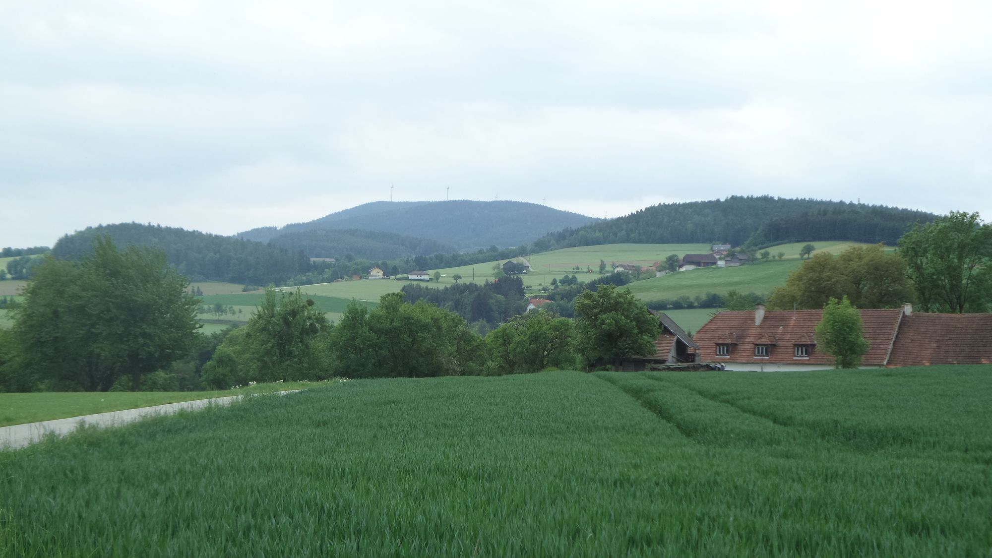
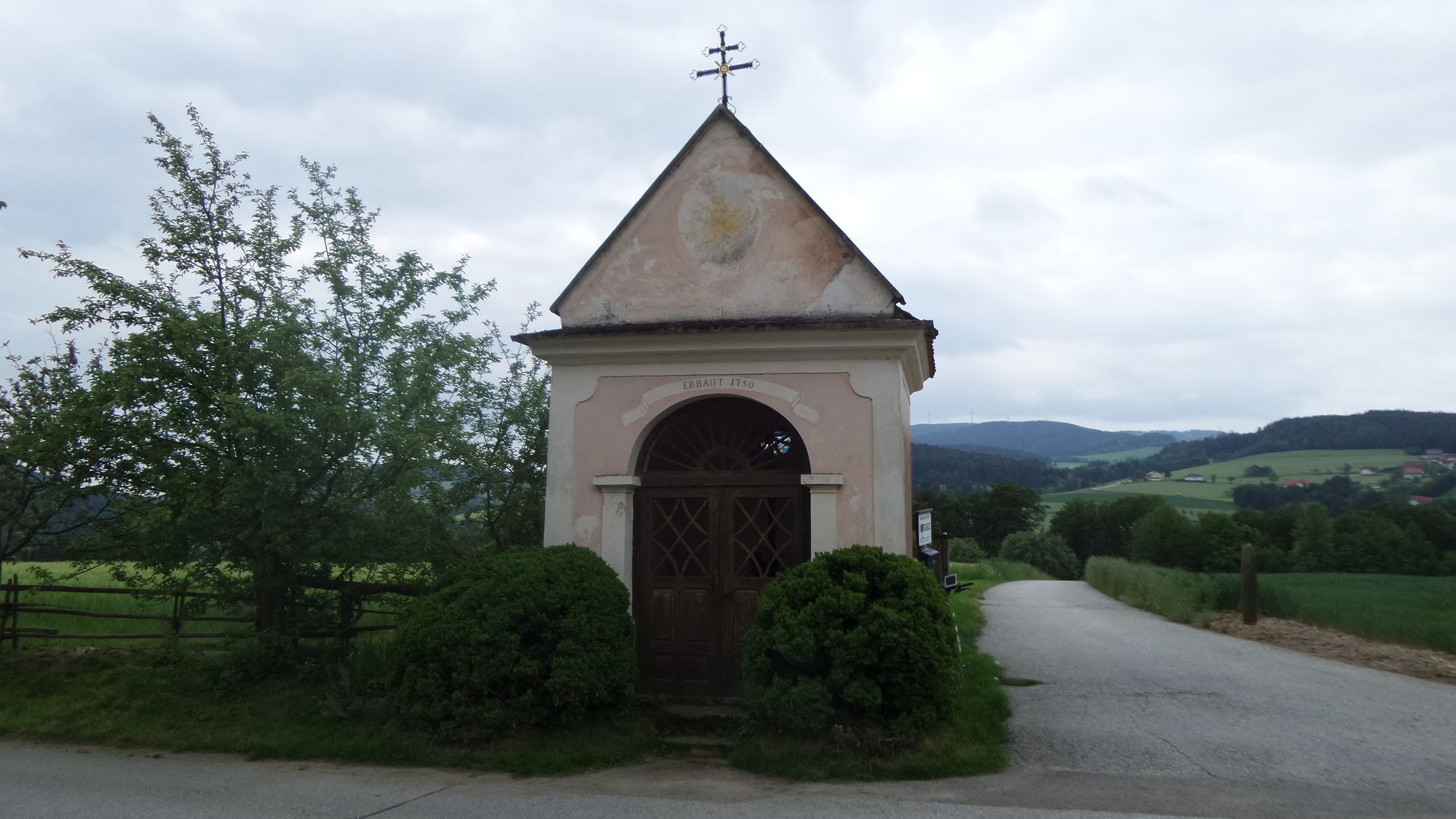
Vom Stift Vorau ausgehend gemächlich bergauf bis zum Masenberg und über den Windpark wieder ins Tal.
- Difficulty
-
medium
- Rating
-
- Route
-
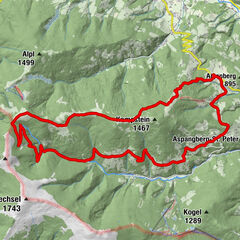
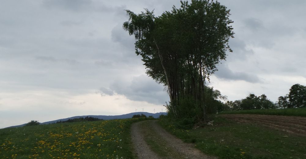
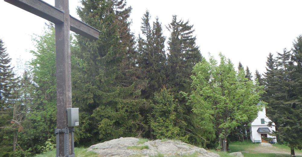
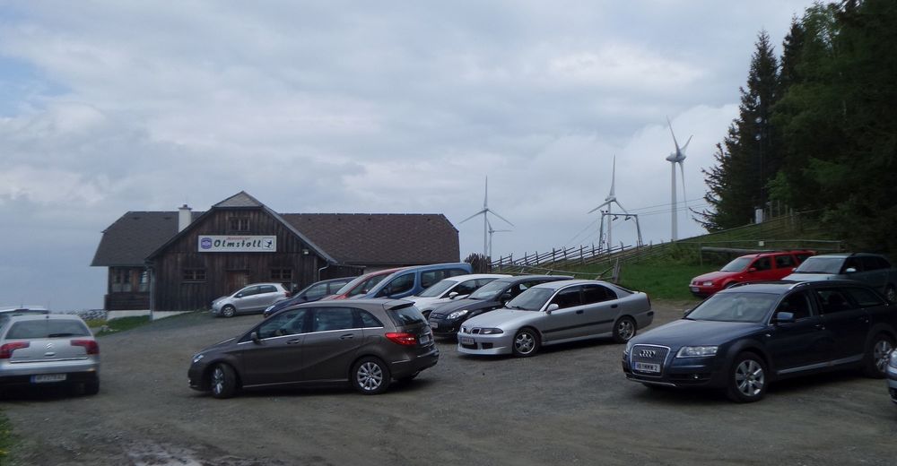
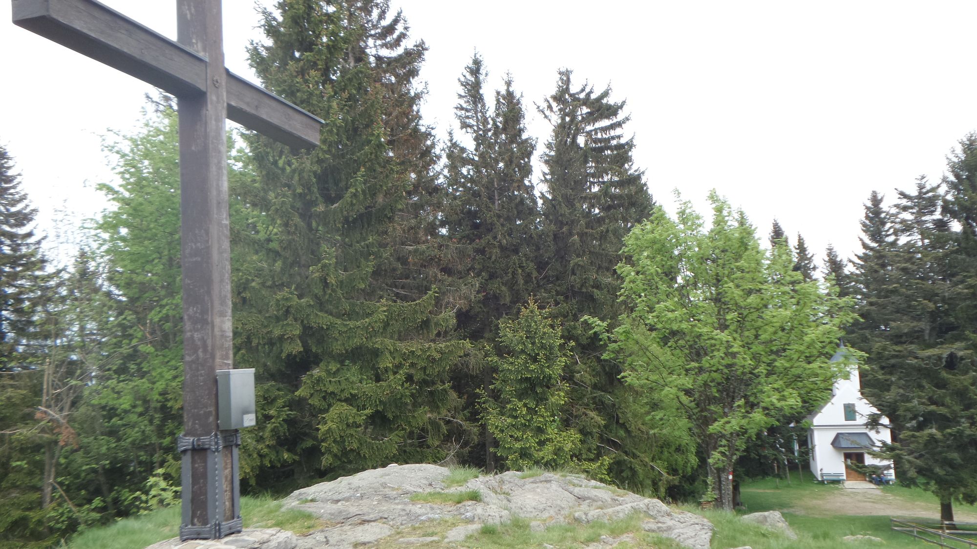
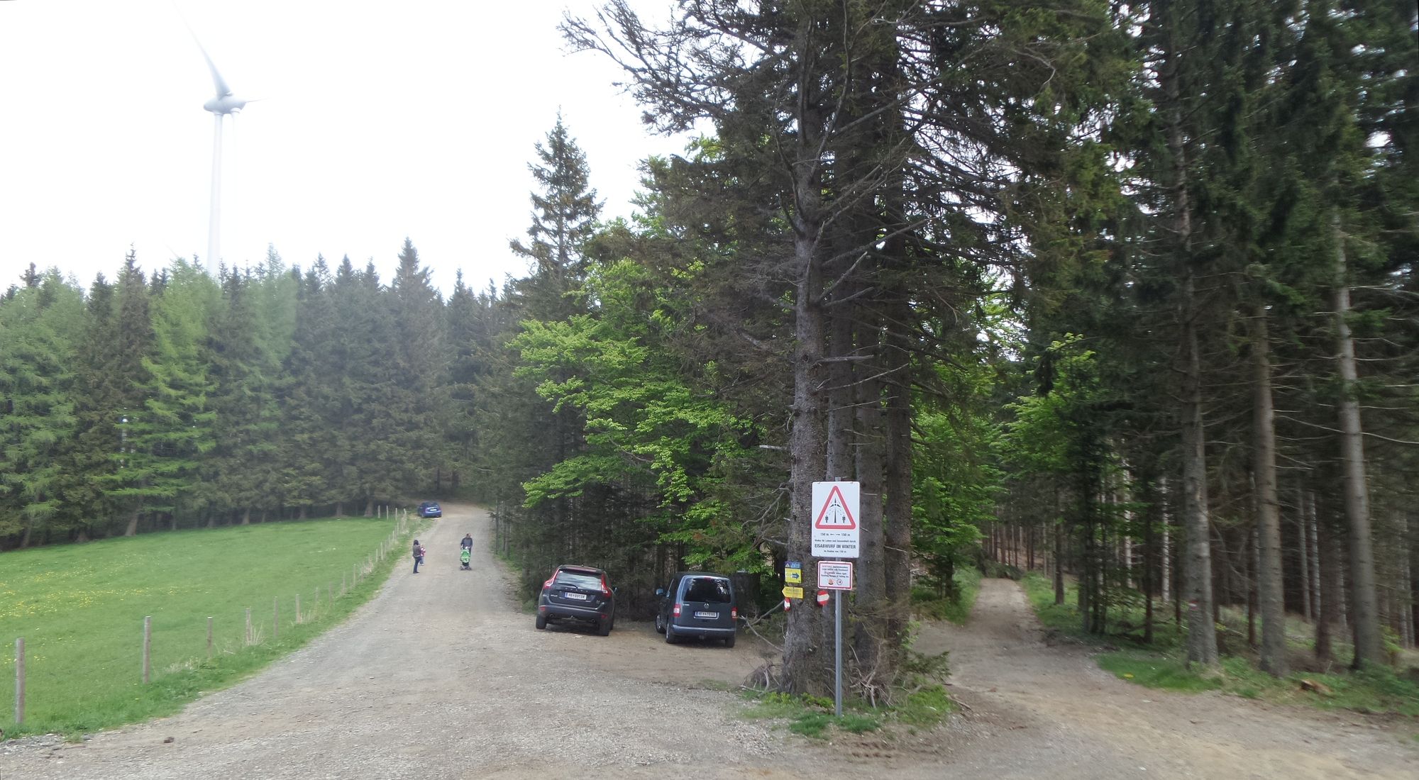
Vorau0.1 kmVorau6.0 kmDörfl7.6 kmVornholz10.9 kmVornholz15.0 kmMasenberg (1,261 m)27.4 kmGlückskapelle27.4 kmSchutzhaus Masenberg27.4 kmOlmstoll27.9 kmPongratzer Kogel (1,248 m)29.4 kmVorau38.4 km
- Best season
-
JanFebMarAprMayJunJulAugSepOctNovDec
- Highest point
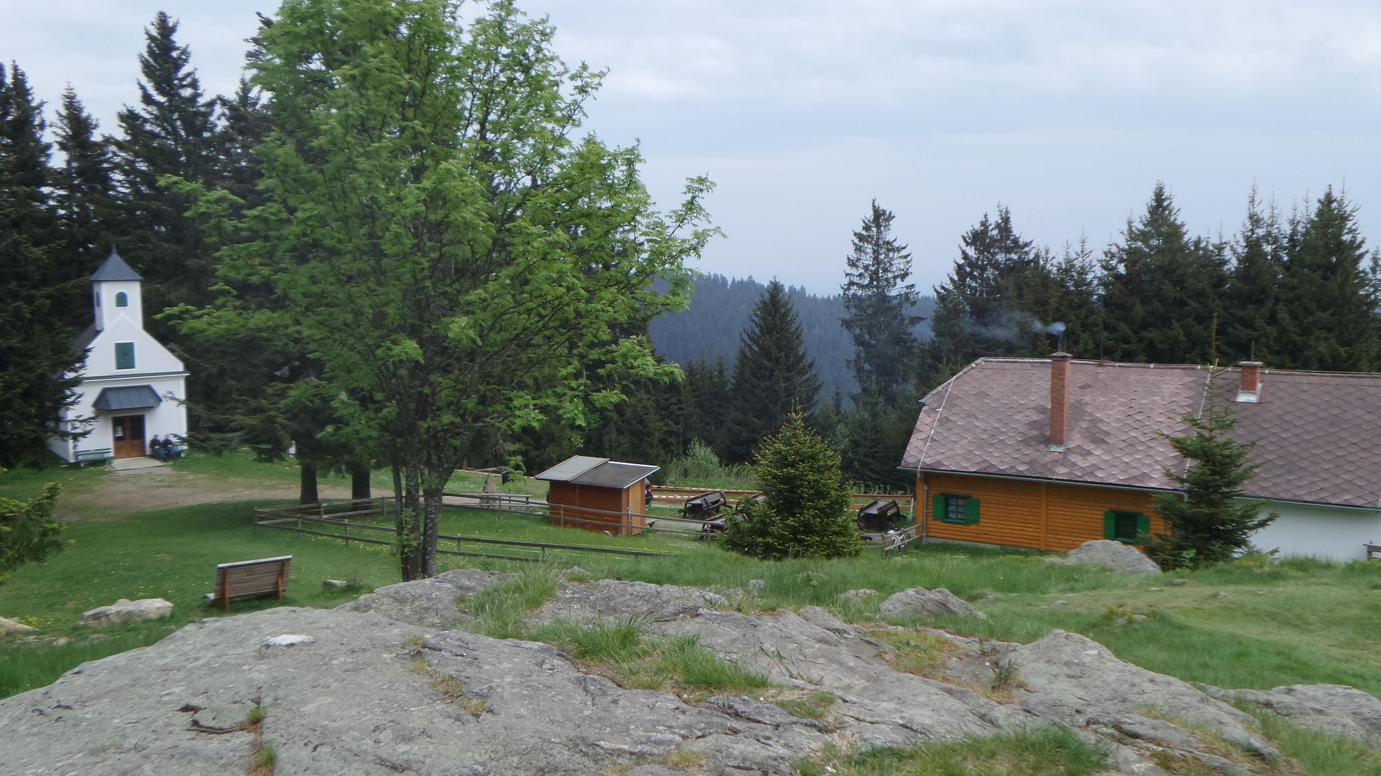
- Masenberg / Pongratzkogel (1,250 m)
- Rest/Retreat
-
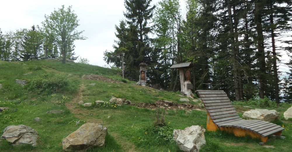
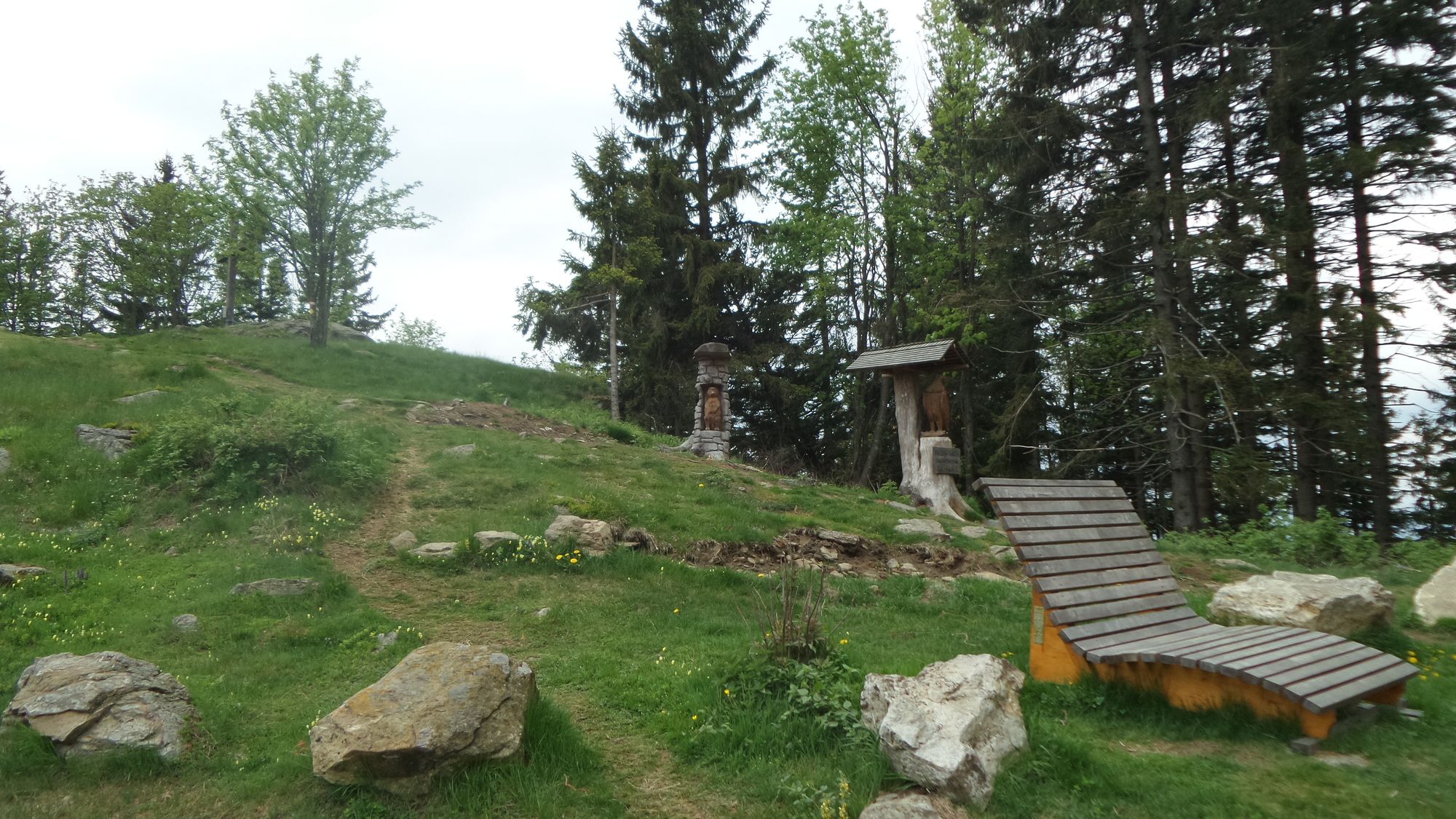
Kernstockhütte oder Olmstoll am Masenberg


GPS Downloads


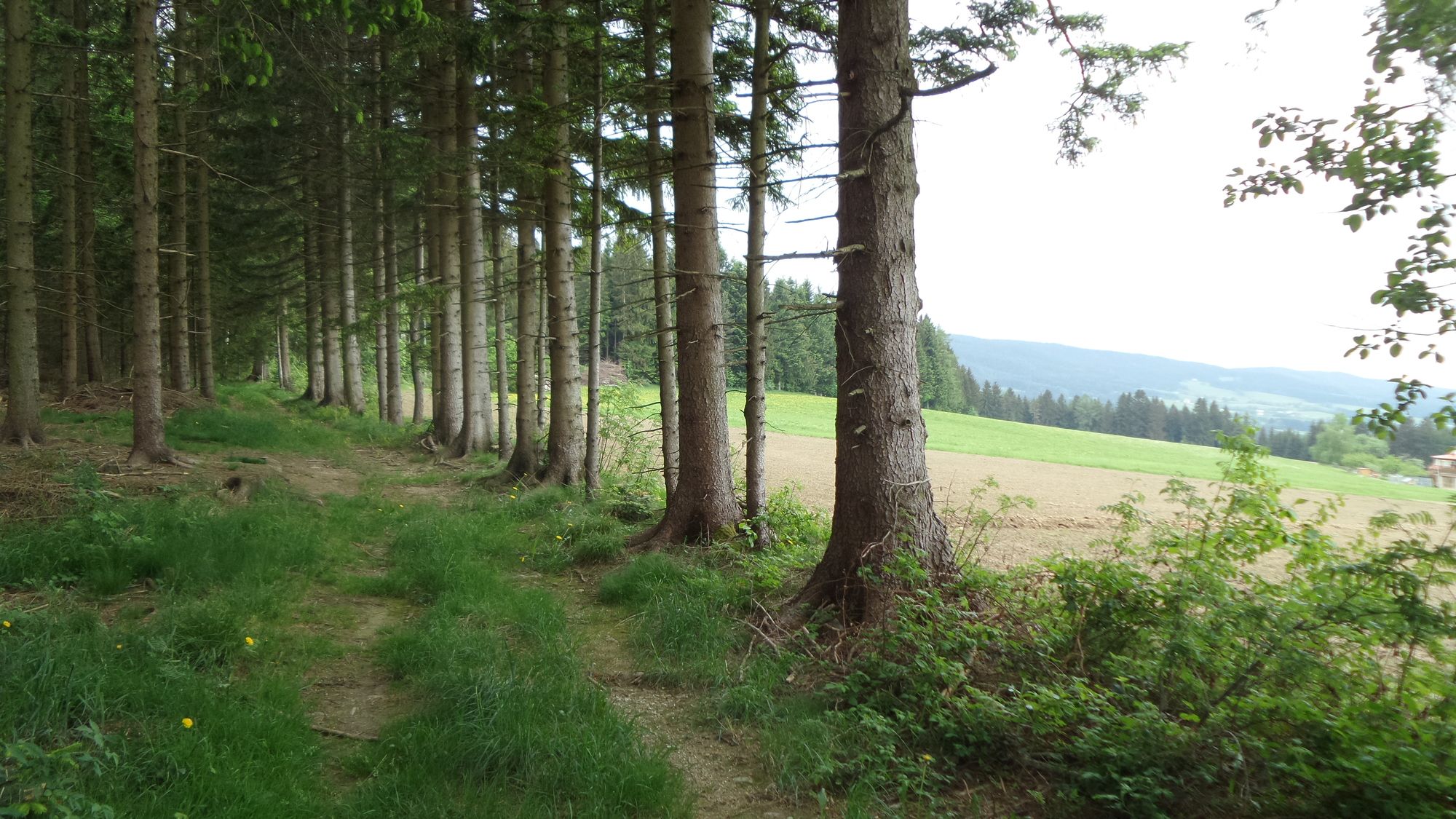
Surfaces
Asphalt
Gravel
Forest
Mountain paths
Single trails
Trial
Traffic
Other tours in the regions
-
Oststeiermark
22
-
Naturpark Pöllauer Tal
20
-
Vorau
4