
Tour data
25.95km
374
- 1,018m
810hm
811hm
02:21h

- Brief description
-
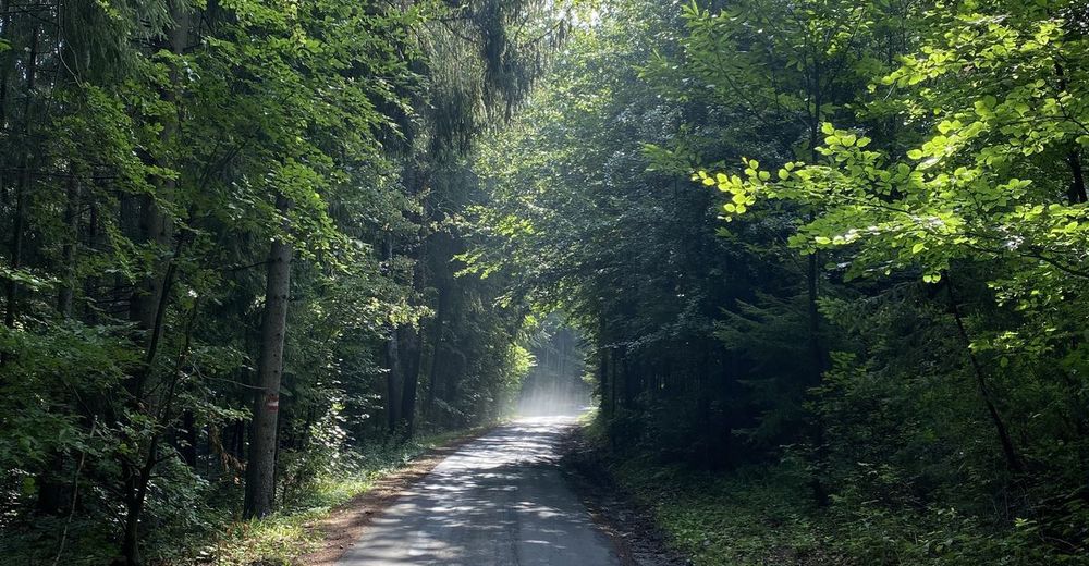
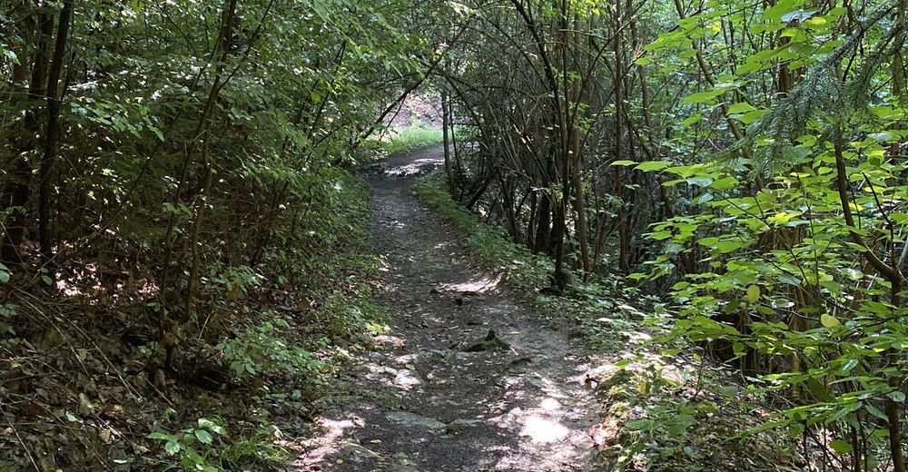
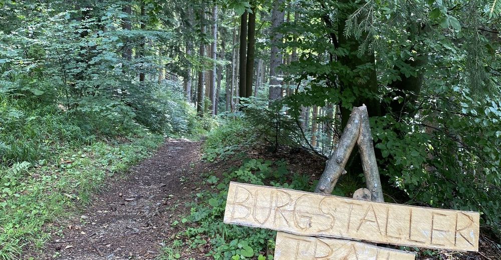
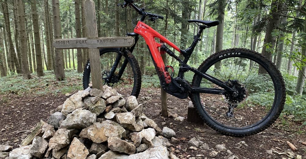
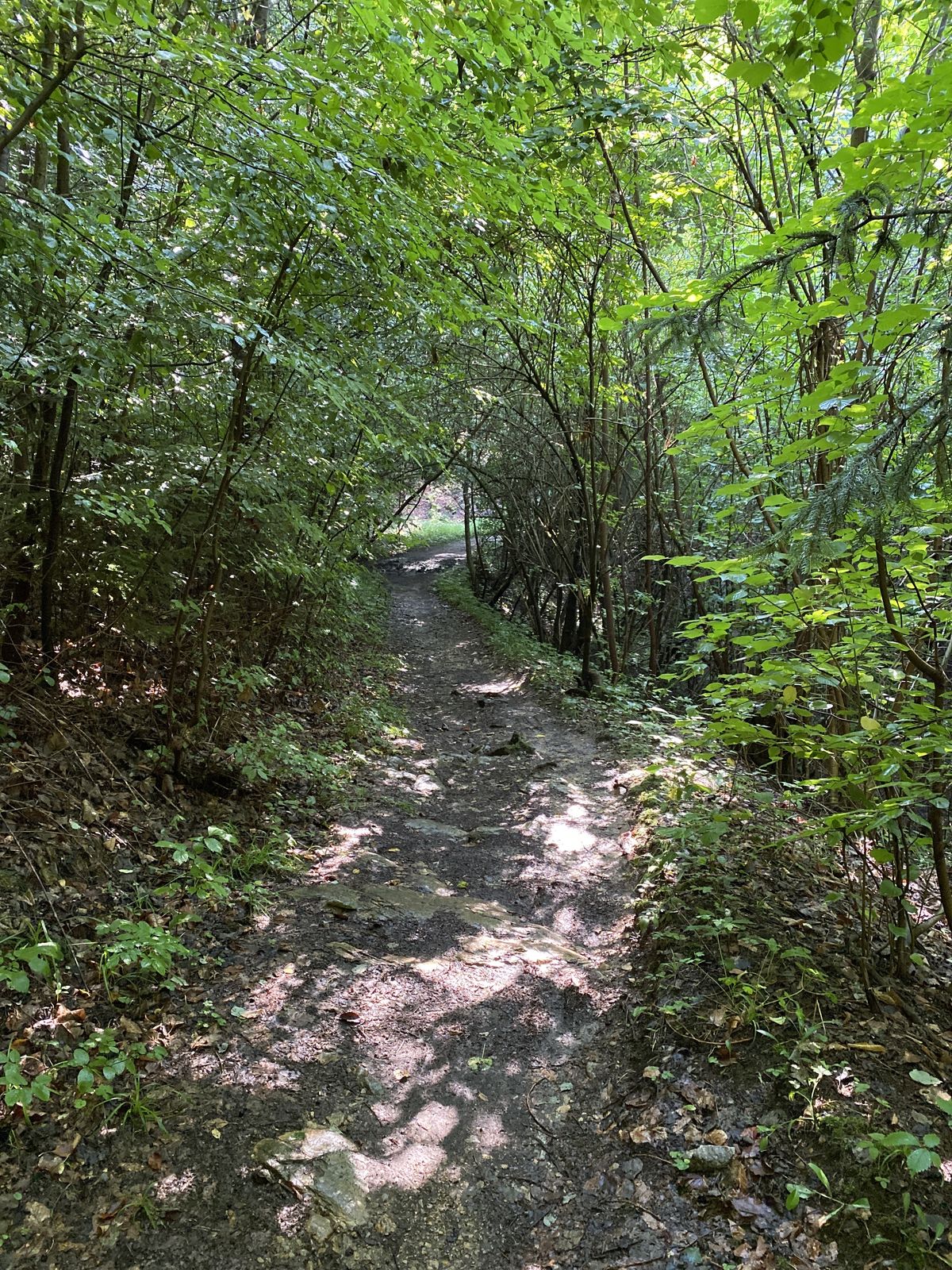
This tour follows in the footsteps of the Mountain Bike World Cup 2009 through forest and meadows from Gratkorn to the Hohe Rannach and back.
- Difficulty
-
medium
- Rating
-
- Route
-
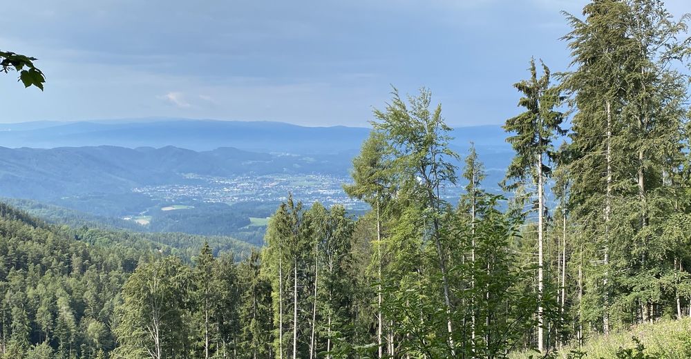
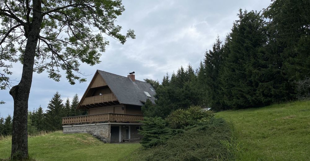
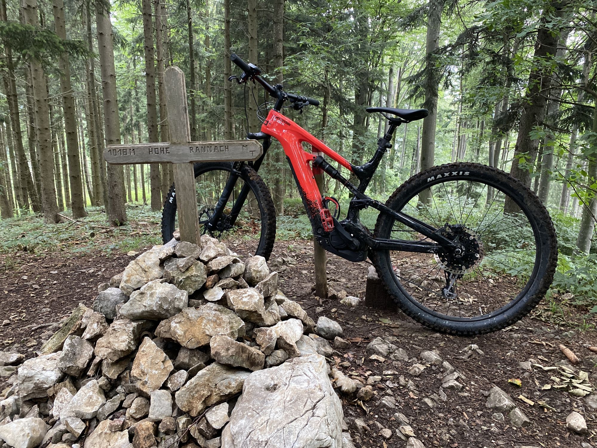
Gratwein-StraßengelGratkorn0.3 kmJasen5.6 kmHöchwirt6.7 kmGeierkogel (946 m)10.9 kmHohe Rannach (1,018 m)15.5 kmRannach19.4 kmAlpengarten Rannach20.0 kmKloster in der Dult23.5 kmLourdes-Kapelle23.5 kmKirchenviertel25.1 kmSankt Stefan25.3 kmGratwein-Straßengel25.9 kmGratkorn25.9 km
- Highest point
- 1,018 m


GPS Downloads


Surfaces
Asphalt
Gravel
Forest
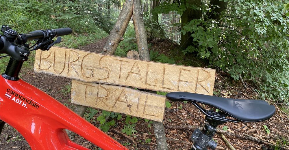
Mountain paths
Single trails
Trial
Traffic
Other tours in the regions