
- Brief description
-
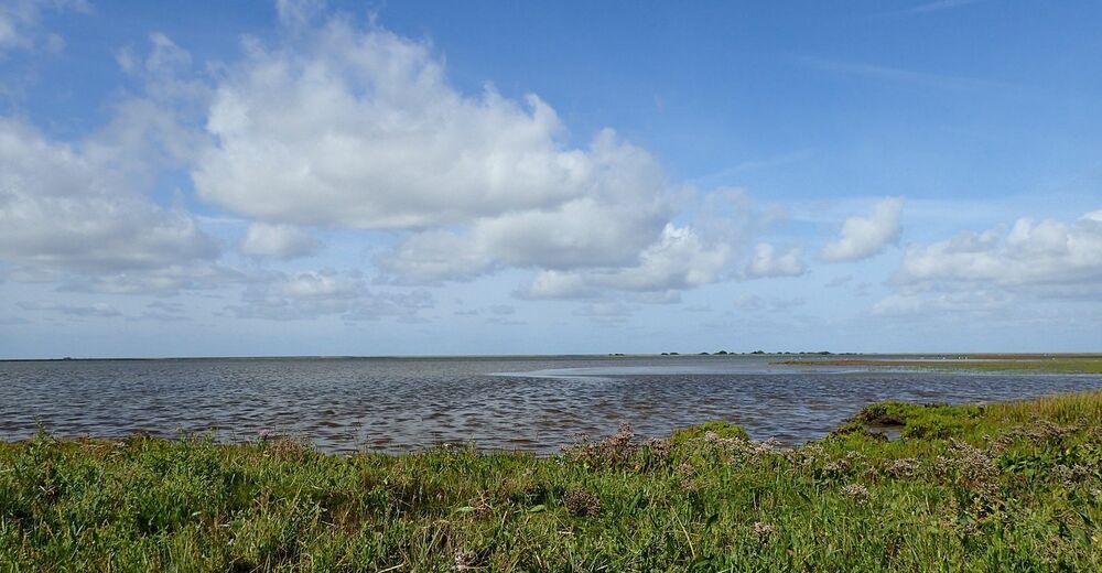
From the inland this tour leads along wetlands, fresh and salt water lagoons to the "Waterkant". Also views from observation huts & from the dike offer great insights into the bird life.
- Difficulty
-
easy
- Rating
-
- Starting point
-
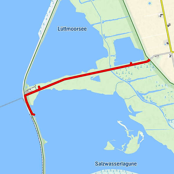
Parking area at the Lüttmoor-Deich
- Best season
-
JanFebMarAprMayJunJulAugSepOctNovDec
- Description
-
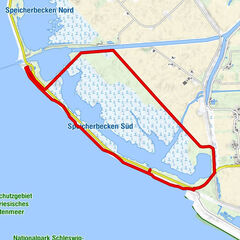
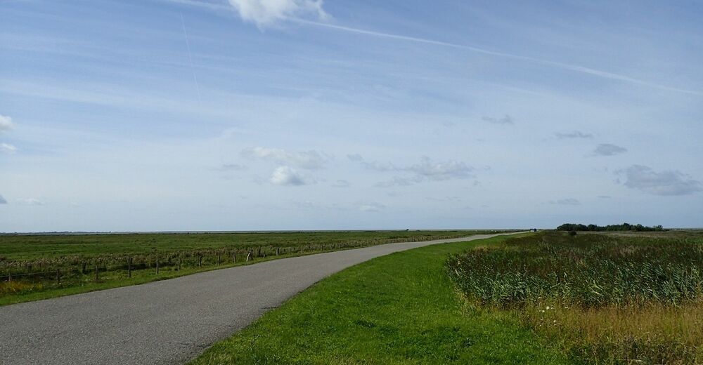
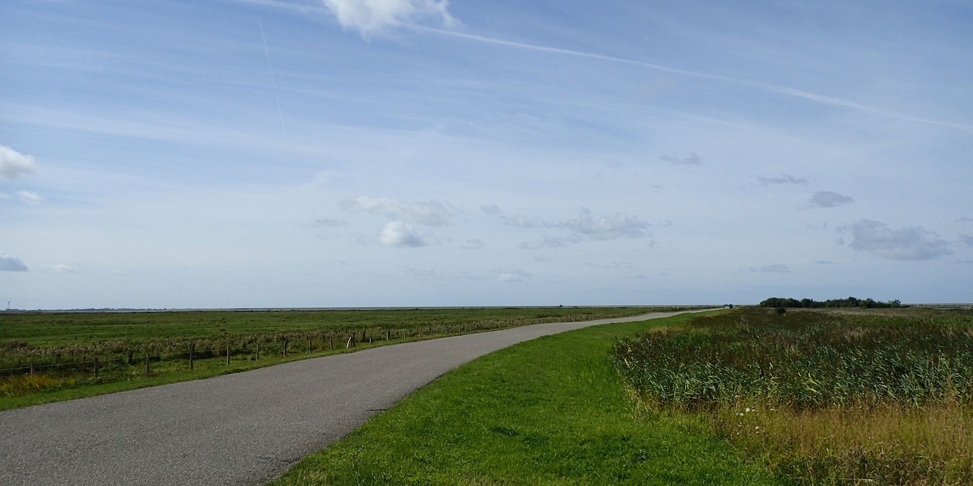
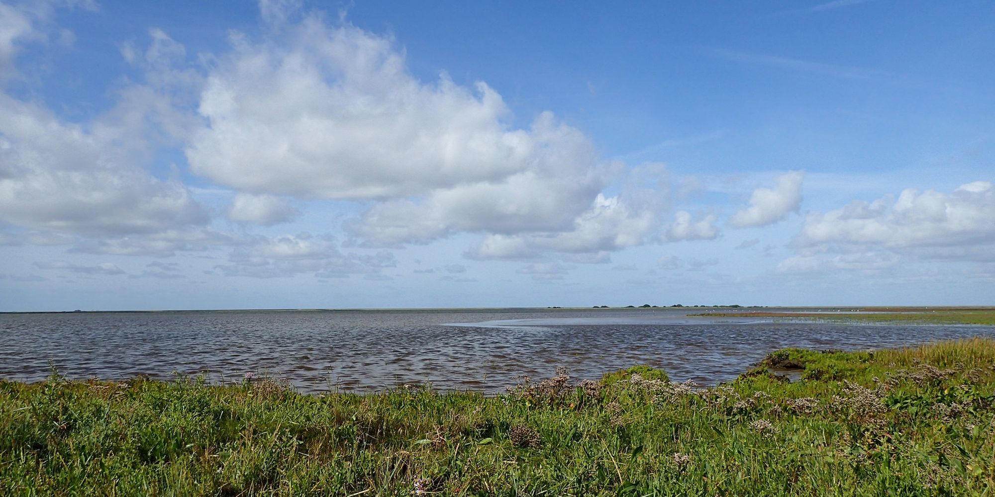
Along the "Lüttmoordamm", which runs right through the Beltringharder Koog nature reserve, you will experience the transition of the landscape from the mainland to the North Sea.
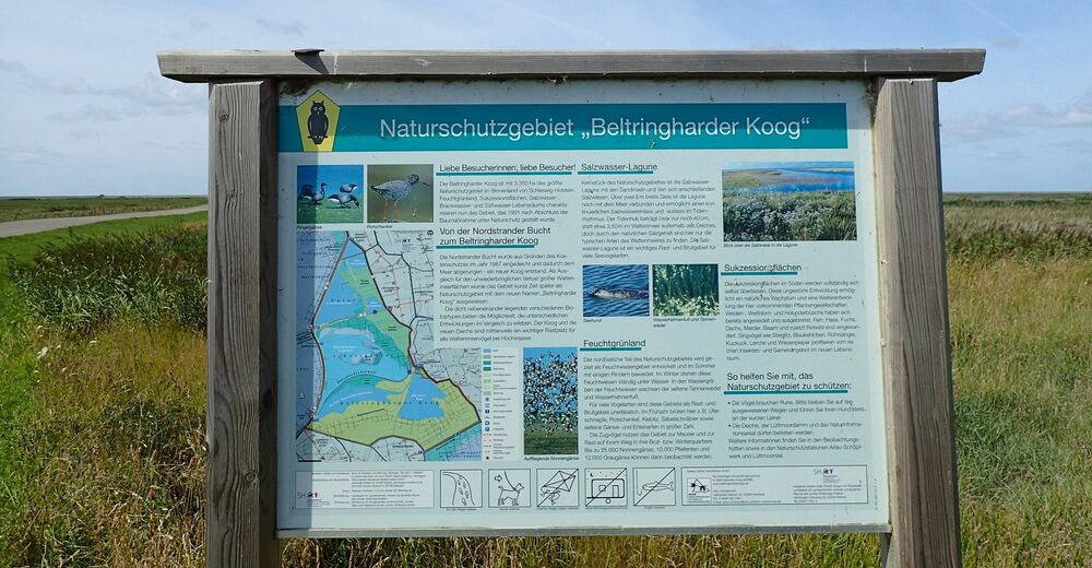
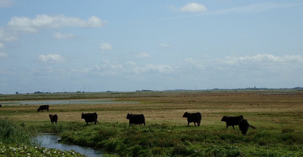
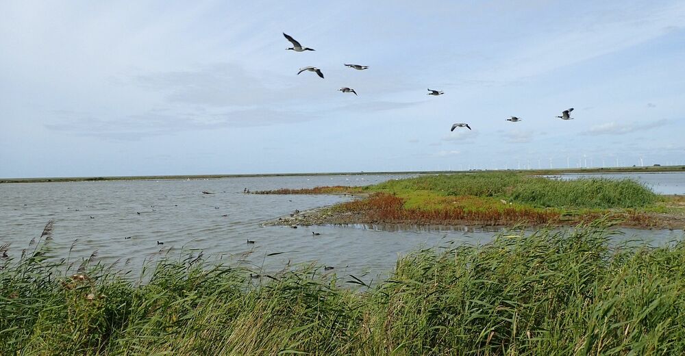
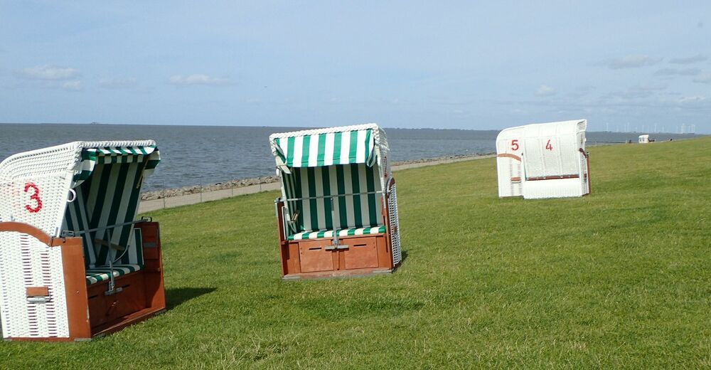
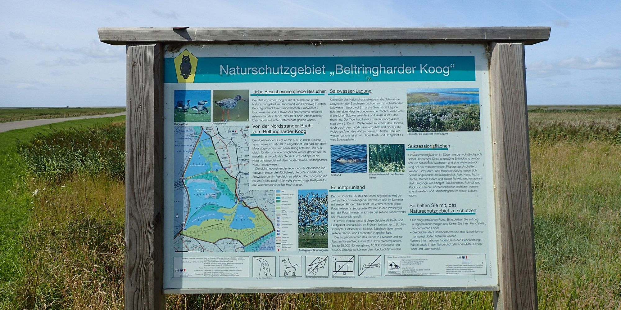
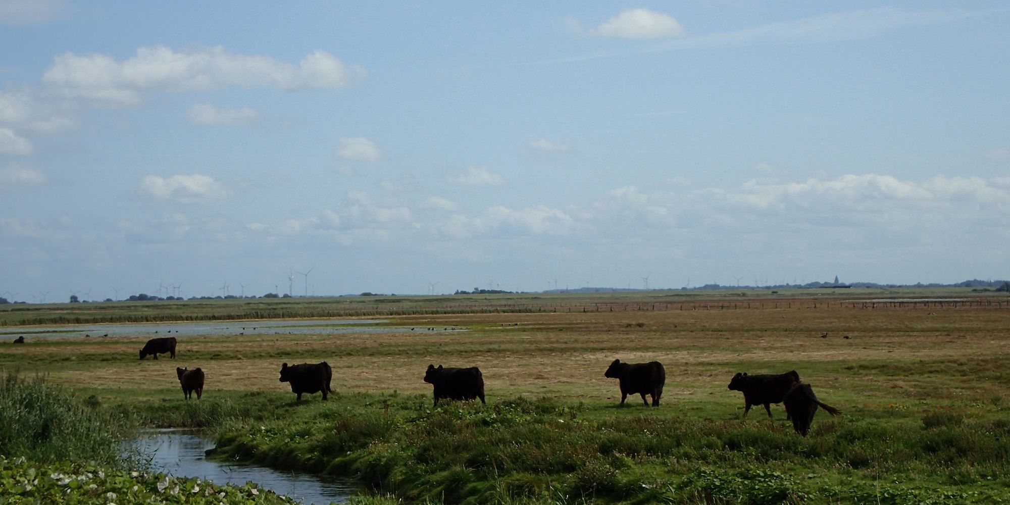
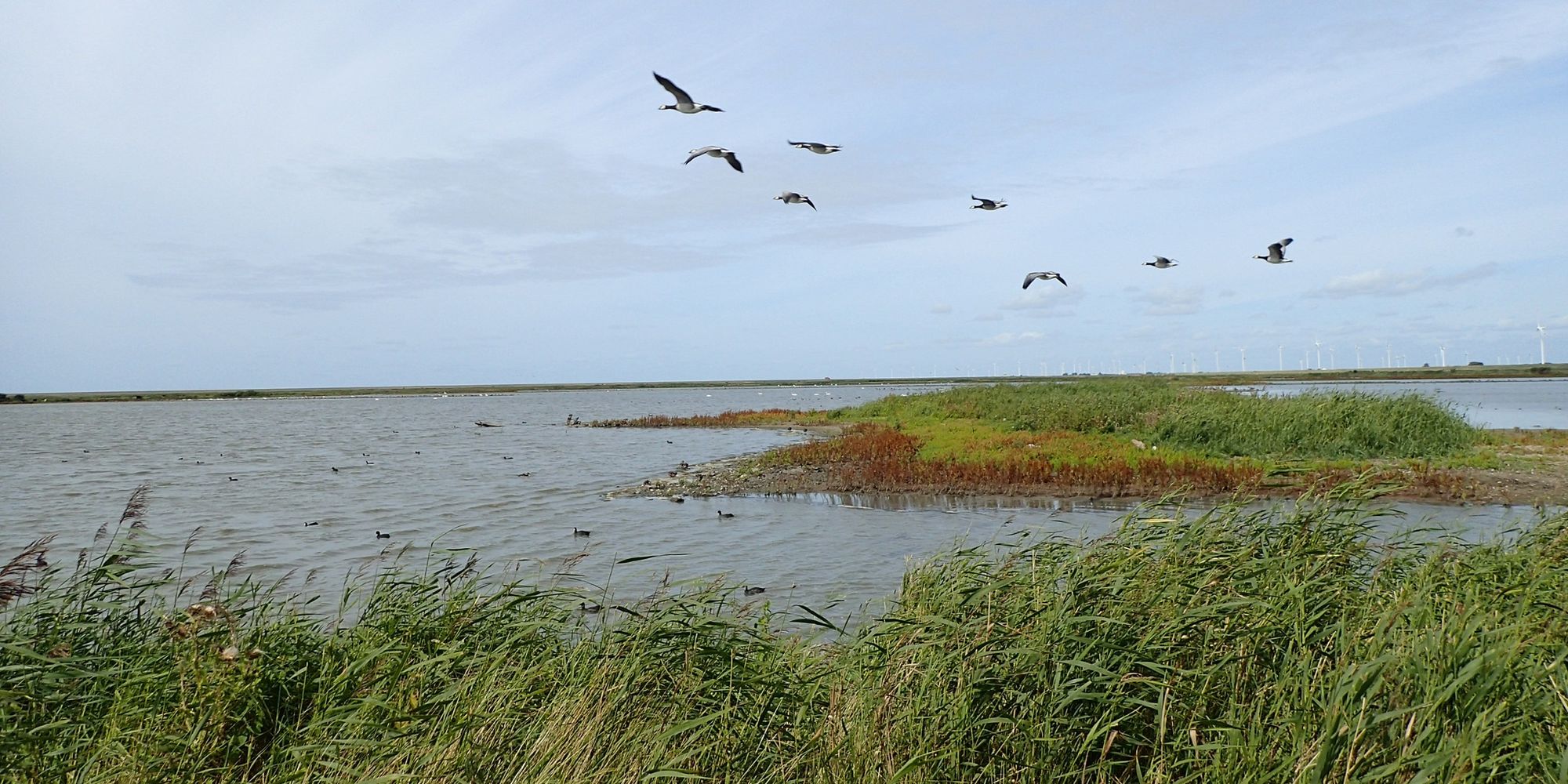
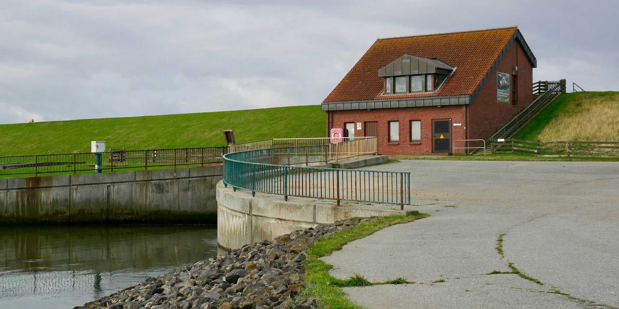
The Beltringharder Koog, which is directly adjacent to the Wadden Sea World Heritage Site, is a former Wadden Sea area that was diked in 1987. After the diking, the area was developed into a transition area between land and sea and was again placed under nature conservation. The Koog plays an important role for breeding as well as for resting waders and water birds: examples are black-tailed godwits and barnacle geese in the wet grassland, heron ducks on a freshwater lake, or resting waders on the mudflats. At the end of the trail you will reach a bathing area and can watch the irrigation and drainage of a saltwater lagoon at Lüttmoorsiel.
Combine the hike with a walk through the nature experience area at the Old Arlau Lock (WWF Tour Betringharder Koog: nature experience area).
- Directions
-
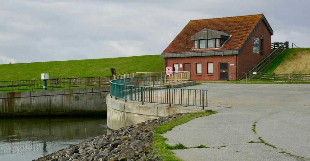
The tour begins directly on the old dike at Cecilienkoog and follows the Lüttmoordamm on a straight stretch past wet grassland, water surfaces, salt marshes and tideways to the current sea dike, which forms the border to the Wadden Sea and the North Sea. There is a bathing area seawards from the dike. From the dike you can see the Hallig Nordstrandischmoor ("Lüttmoor"), which is connected to the mainland by a Lorendamm. A detour to the left leads you after a few hundred meters to the Lüttmoor-Siel, which connects the saltwater lagoon of the Beltringharder Koogs with the Wadden Sea National Park and World Natural Heritage Site.
The tour can also be taken in reverse order, starting from the parking lot at Lüttmoorsiel.
In both cases, the return trip follows the same route to the starting point.
- Highest point
- 3 m
- Endpoint
-
Lüttmoor-Siel
- Height profile
-
 © outdooractive.com
 - Equipment
-
With the right clothing your hike will be an unforgettable experience in any weather! Our tip: With wind- and waterproof clothing, comfortable hiking boots, a little refreshment and some sunscreen you will rarely go wrong at the North Sea.
For bird and plant enthusiasts, it is worth taking along binoculars and suitable literature - also as an app.
- Safety instructions
-
In order to allow nature to unfold undisturbed, we would like to ask you to support nature conservation in the national park:
Please stay on the marked trails in the National Park and follow the signs for the protection of breeding and resting areas. And even if there are no signs: very nervous birds often indicate that you are too close to their breeding!
Please keep your dog always on a leash when he accompanies you on your journey so that he does not accidentally disturb breeding or resting birds.
Please do not leave any garbage in the nature.
Please do not pick flowers in the national park, because many plants enjoy a special protection. Instead, enjoy their sight on the spot.
Please keep your distance to flocks of birds and seals when you walk along the beach or along the water's edge. - Tips
-
From April to July black-necked grebes and other water birds breed in the koog and can be seen from observation huts.
- Directions
-
Best by bicycle of Bredstedt or Husum by the Reußenköge and/or by the Hattstedter march.
- Parking
-
If you arrive by car, there are several free parking spaces right at the beginning of the Lüttmoordamm. At the end of the dam there are more parking possibilities. Then the tour can be taken in the opposite direction.
-

-
AuthorThe tour WWF Tour Beltringharder Koog: Lüttmoordamm & North Sea is used by outdooractive.com provided.