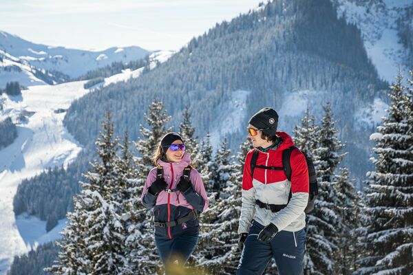
© Saalbach Hinterglemm - Paul Kubalek
- Brief description
-
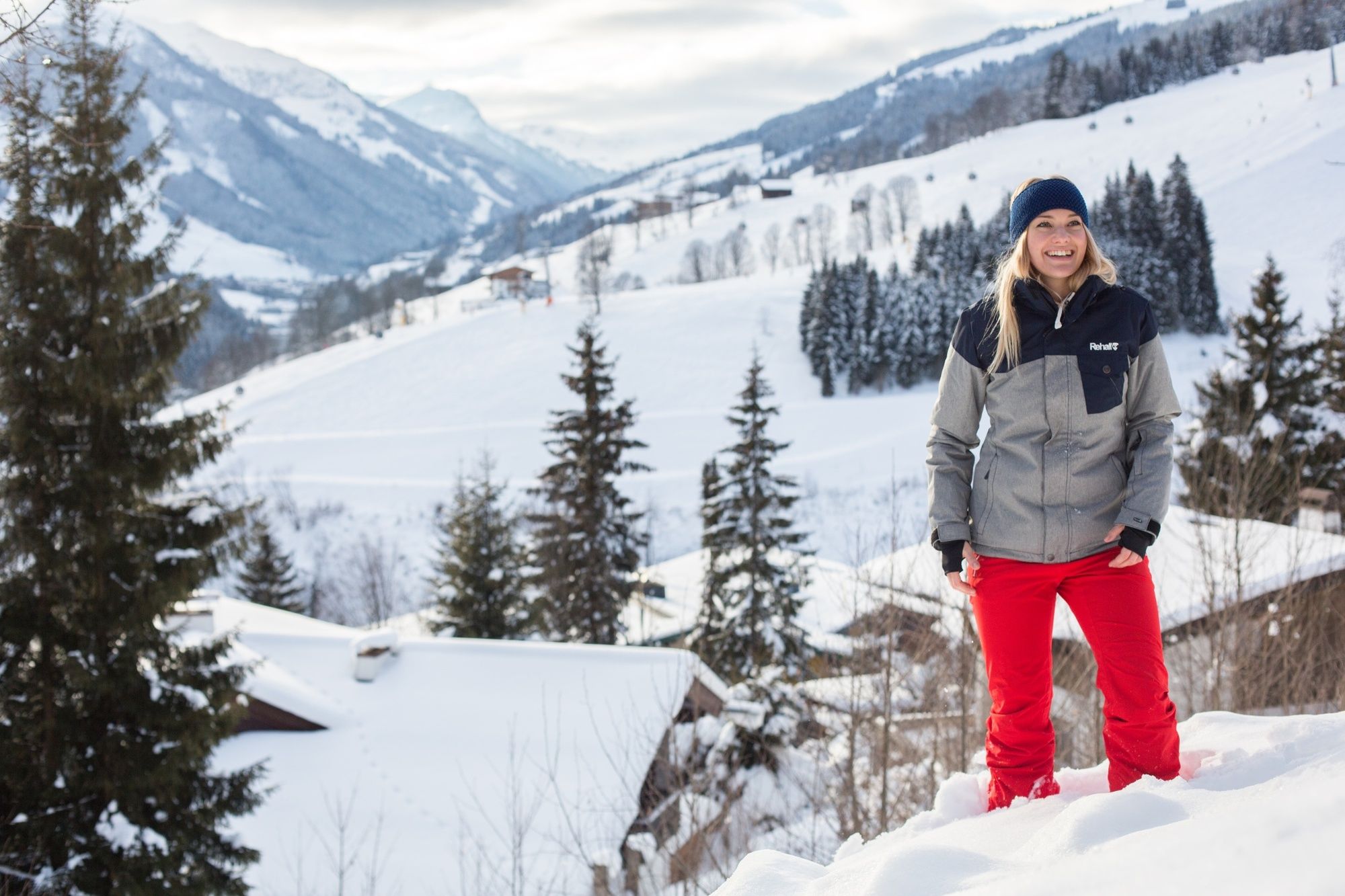
Panoramic winter walk.
- Difficulty
-
easy
- Rating
-
- Starting point
-
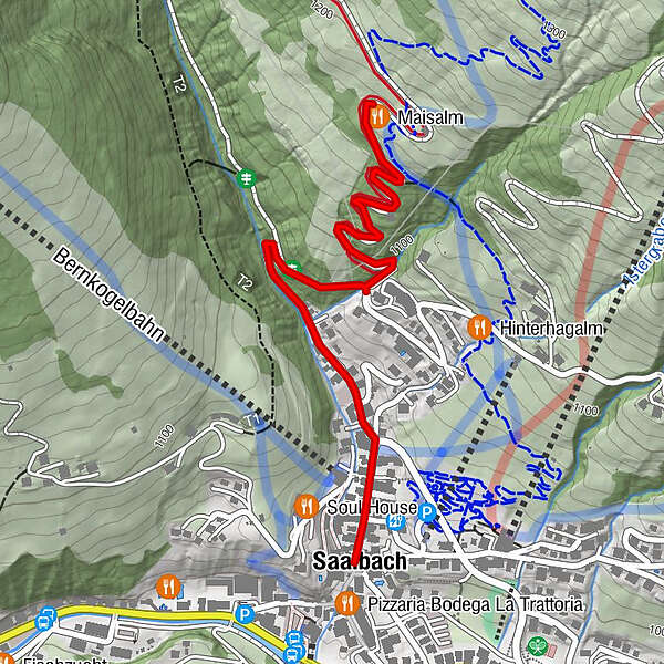
Town hall Saalbach (village square)
- Route
-
Saalbach3.6 km
- Best season
-
AugSepOctNovDecJanFebMarAprMayJunJul
- Description
-
From the village square continue along the village road to Oberdorf (upper village) until you reach the dam wall. Turn right along the Hinterhagweg. After approx. 300 m on the left-hand side, the path leads to the Maisalm. Take the same way back to the starting point.
- Highest point
- 1,172 m
- Endpoint
-
Maisalm
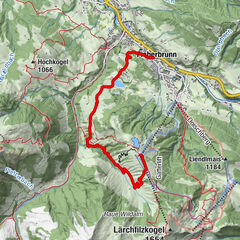
- Height profile
-

- Equipment
-
Winter clothing, sturdy shoes, poles
- Tips
-
The Maisalm is an ideal gatheirng place for skiers and hikers.
- Directions
-
From Maishofen approx. 14 km along the L111 to Saalbach. At the Aral petrol station turn right in the tunnel where you will find the park house (in the tunnel).
- Public transportation
-
Postbus - daily from 07.00 - 19.00
http://www.postbus.at/de/Fahrplanauskunft/index.jsp
-

-
AuthorThe tour S05 Walk to the Maisalm is used by outdooractive.com provided.
GPS Downloads


General info
Refreshment stop
A lot of view
Other tours in the regions
-
Saalbach Hinterglemm
187
-
Hochfilzen
64