
- Brief description
-
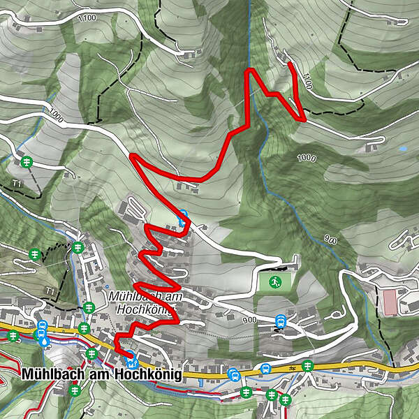
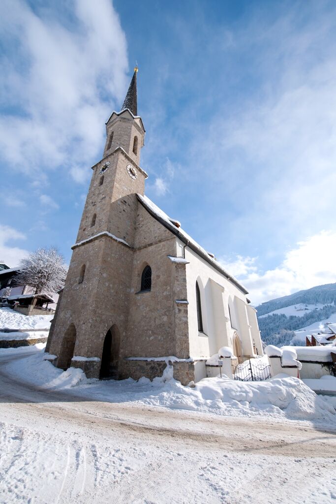
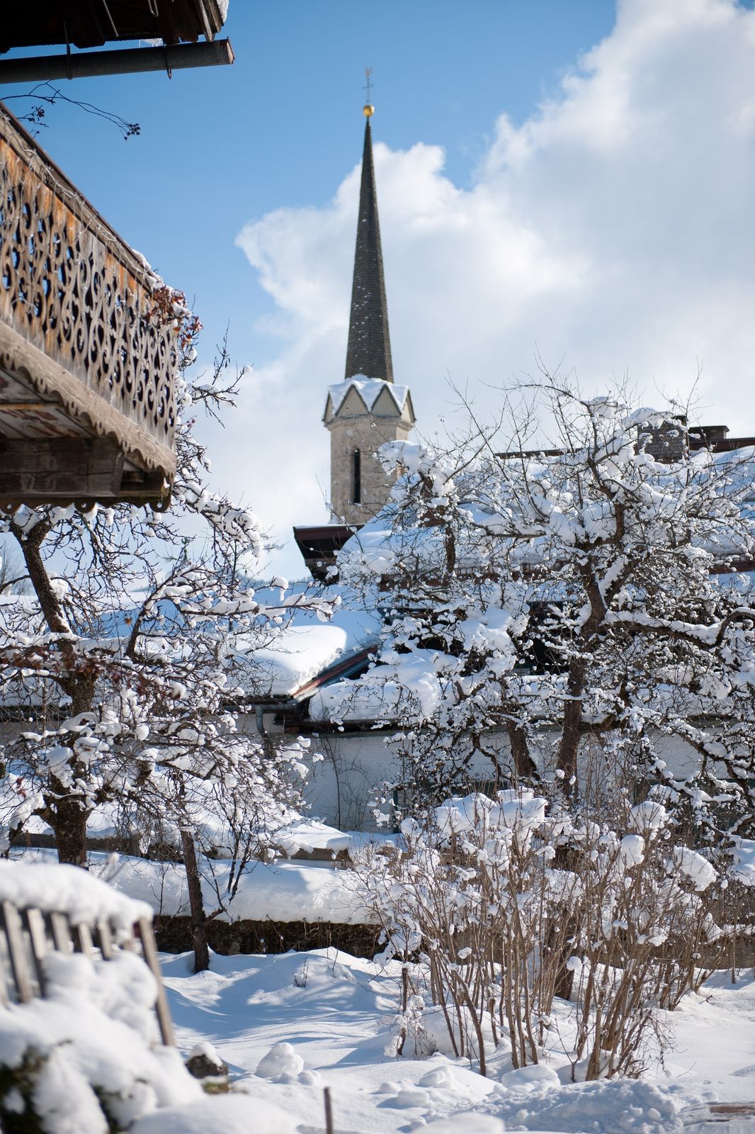
Come and enjoy the scenery in beautiful Mühlbach as you walk through and round our village.
- Difficulty
-
easy
- Rating
-
- Starting point
-
Tourist Office Mühlbach
- Route
-
Mühlbach am Hochkönig0.0 kmPfarrkirche zum hl. Sebastian0.1 kmAnderlwirt4.9 kmMesnerhaus, Café, Bar & Restaurant4.9 km
- Best season
-
AugSepOctNovDecJanFebMarAprMayJunJul
- Description
-
From the Tourist office turn left and then turn right at the Sparkasse. Follow the road coming uphill until the crossing of the Mandlwandstraße . Turn left and follow the road . After the small wooden hut , a path leads you right uphill in the direction of "Bachgut". After you have enjoyed the beautiful view , you go over the same route back to the village .
- Directions
-
Start off to the left. In front of the restaurant Mesnerhaus turn right, past the church, always uphill to the Alpendomizil (a large, dark building). Follow the path until you reach the crossroads at Mandlwandstraße. There, turn left and walk along the road until you reach a small wooden hut on the right side of the road. Here you turn right and march uphill past various farmhouses towards Bachgut, a beautiful mountain farm. You return to the village via the same path.
- Highest point
- 1,086 m
- Endpoint
-
Tourist Office Mühlbach
- Height profile
-

- Equipment
-
Look for a appropriate equipment such a waterproof, semi-heeled shoes (warm boots) and warm outerwear. Further useful items include: headgear, gloves, snow goggles or sunglasses, sunscreen. "Shoe chains" protect against ice slipping on ice and snow, even poles are also helpful.
- Safety instructions
-
Very good shoes, winter hiking trails can be at some places even icy!
- Tips
-
A camera is essential to capture the magnificent panorama.
- Additional information
- Directions
-
Arriving from Salzburg: Take the A10 motorway to the Bischofshofen exit, then take the B311 in the direction of Bischofshofen. Follow the Hochkönig main road/B164 to Mühlbach.
Coming from Innsbruck/ Kufstein: On the Loferer Straße/B178 towards St. Johann i.T., then on the Hochkönig Bundesstraße/B164 via Saalfelden and Maria Alm to Mühlbach.
- Public transportation
- Parking
-
Car park at the fire department, near village centre.
- Author
-
The tour Winter hiking "Oberwirt" is used by outdooractive.com provided.